The best walks and hikes around Biarrotte
4.4
(105)
875
hikers
34
hikes
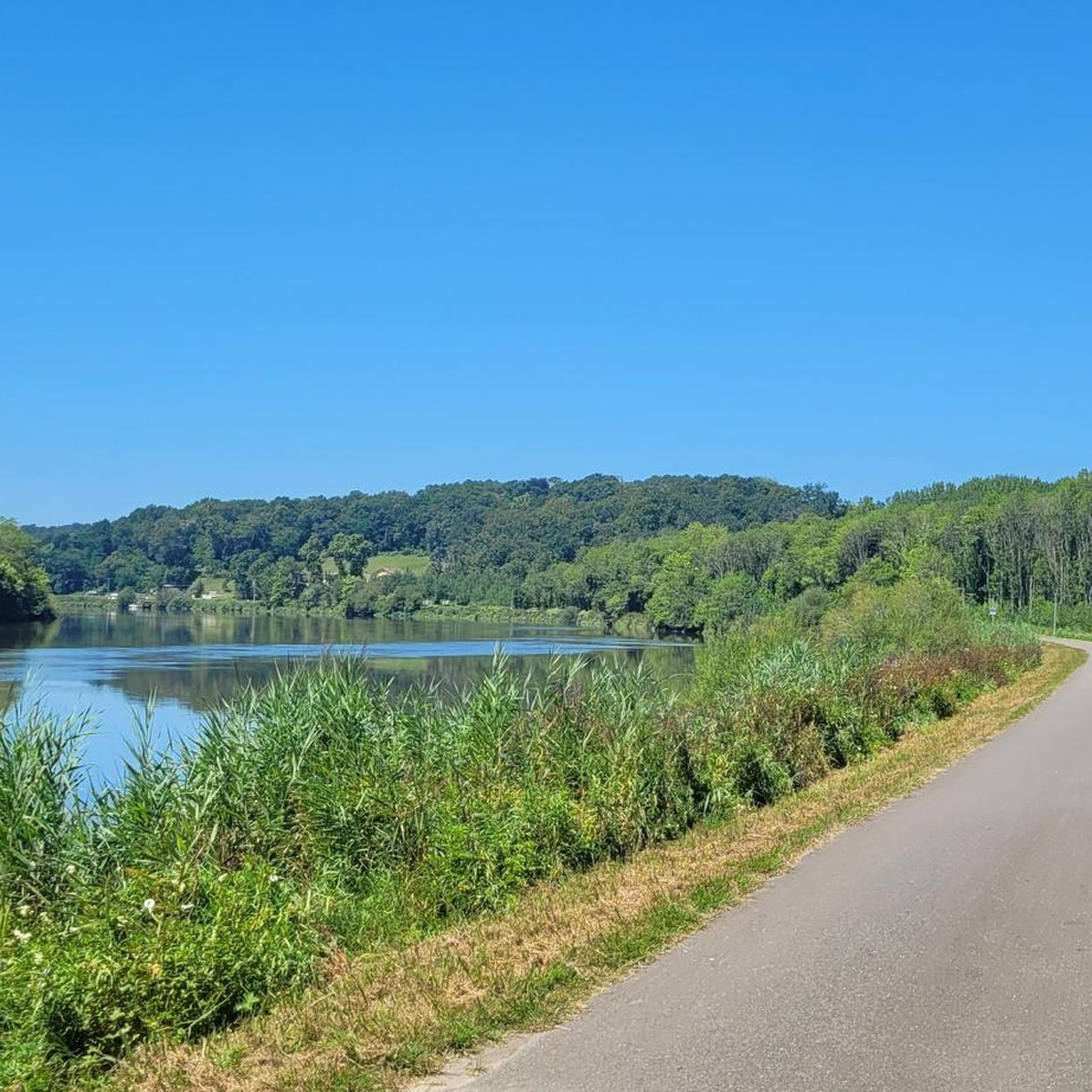
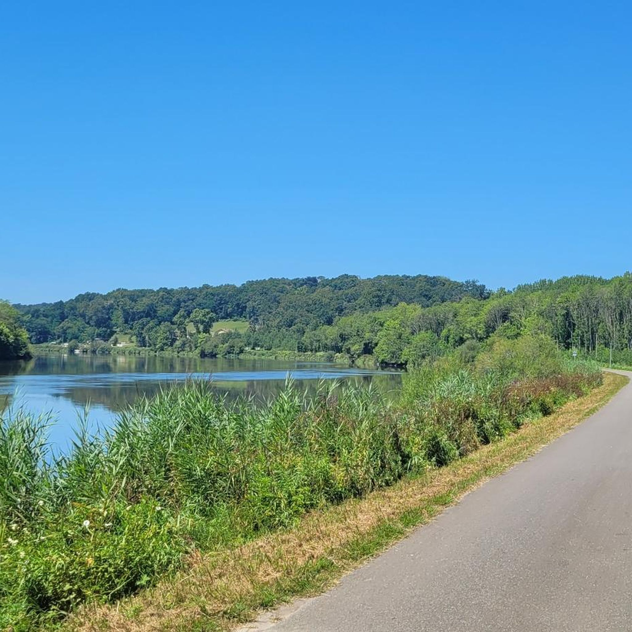
Hiking around Biarrotte offers a network of trails primarily characterized by low-lying terrain, riverine landscapes, and agricultural areas. The region features gentle elevations, making it suitable for accessible routes for all abilities. Many trails follow the banks of the Adour and Gave rivers, providing opportunities for easy hikes around Biarrotte with parking at various trailheads. The landscape is generally flat, with some areas of marshland and open fields.
Best hiking trails around Biarrotte
- The most popular hiking route is Bec…
Last updated: July 4, 2026
3.8
(4)
36
hikers
11.9km
03:08
110m
110m
Hike a moderate 7.4-mile loop in Sainte-Marie-de-Gosse, exploring the scenic confluence of the Adour and Gaves Réunis rivers.
3.9
(7)
20
hikers
12.1km
03:10
90m
90m
Hike the moderate 7.5-mile Circuit des Barthes Hautes, gaining 293 feet in 3 hours 10 minutes, with Pyrenees views.

Sign up for free
3.8
(4)
37
hikers
11.9km
03:09
120m
110m
Moderate hike. Good fitness required. Easily-accessible paths. Suitable for all skill levels.
5.0
(3)
38
hikers
6.07km
01:32
10m
10m
Easy hike. Great for any fitness level. Easily-accessible paths. Suitable for all skill levels.
4.0
(1)
21
hikers
5.74km
01:28
20m
20m
Easy hike. Great for any fitness level. Easily-accessible paths. Suitable for all skill levels.
Get access to more routes and recommendations from other explorers.
Sign up for free
Already have an account?
Our route recommendations are based on thousands of hikes, rides, and runs completed by other people on komoot.
Start today with a free account
Your next adventure awaits.
Login or Signup

Tips from the Community

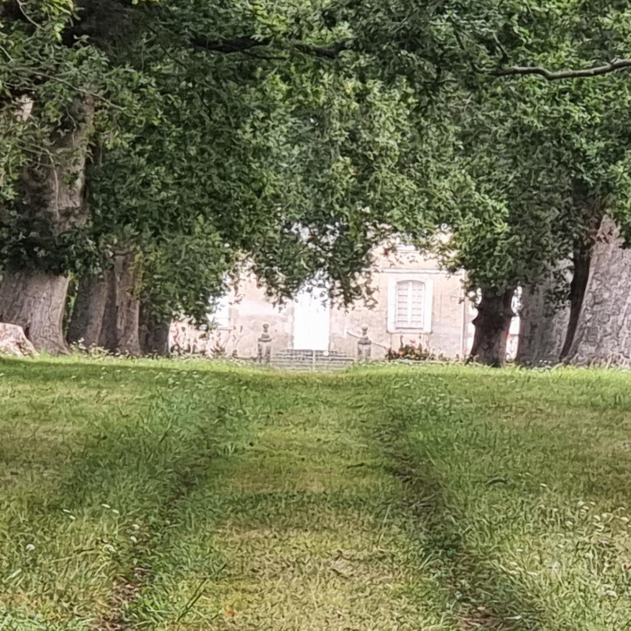
Beautiful view of the Bec du Gave castle
0
0

Small restaurant with an excellent kitchen. Not exactly cheap, but worth the money. Anyone who likes to take a break for a meal on their bike tours is in good hands here. Seating on the terrace overlooking the parking lot/bicycles are available. Reservations recommended.
0
0

A serene place to overlook and appreciate the two rivers. Depending on the time of year, it is possible to see the difference in color of the water.
3
0
Enjoy breathtaking views of the start of the Pyrenees in the distance.
2
0

Frequently Asked Questions
How many hiking trails are available around Biarrotte?
There are over 30 hiking trails around Biarrotte, offering a variety of options for different skill levels. This includes 11 easy, 18 moderate, and 2 difficult routes.
What is the general terrain like for hiking in Biarrotte?
The terrain around Biarrotte is primarily low-lying, characterized by riverine landscapes and agricultural areas. You'll find gentle elevations, making many routes suitable for all abilities. Trails often follow the banks of the Adour and Gave rivers, passing through marshland and open fields.
Are there easy or accessible hikes in Biarrotte?
Yes, Biarrotte offers 11 easy routes, many of which are suitable for accessible hiking due to the region's gentle elevations. An example is the Fitness Trail – Gravel Path Along the River loop from Nive-Adour, which is 5.8 km long and takes about 1 hour 30 minutes.
Are there good circular hiking routes in Biarrotte?
Absolutely. Many of the trails in Biarrotte are designed as loops. Popular circular options include the Bec du Gave Loop (7.4 miles / 11.9 km) which offers views of the river confluence, and the Circuit des Barthes Hautes (7.5 miles / 12.1 km) through marshy lowlands.
What do other hikers enjoy most about the trails in Biarrotte?
The trails in Biarrotte are highly rated by the komoot community, with an average score of 4.5 stars from over 80 reviews. Hikers often praise the peaceful river paths, the unique lowland areas (Barthes), and the well-maintained fitness trails.
Are there family-friendly hiking options in Biarrotte?
Given the generally flat and gentle terrain, many of Biarrotte's 11 easy routes are suitable for families. These paths often follow rivers or pass through open fields, providing pleasant and manageable walks for all ages.
Are there any interesting landmarks or places to explore near the hiking trails?
Yes, while hiking around Biarrotte, you can explore several nearby attractions. These include the charming town of Urt, the historic Bastide of Hastingues, and the tranquil Marais d'Orx Nature Reserve. Many trails offer access to these points of interest.
Where can I find parking for hiking trailheads in Biarrotte?
Many of the trails around Biarrotte, particularly those along the Adour and Gave rivers, offer convenient parking at various trailheads. The region's focus on accessible routes often includes consideration for easy access points.
What is the best season for hiking in Biarrotte?
Biarrotte's low-lying terrain makes it suitable for hiking across multiple seasons. Spring and autumn offer pleasant temperatures and vibrant landscapes. Summer can be warm, but riverside paths provide some shade. Winter hikes are also possible, especially on clear days, as the trails are generally not subject to heavy snow or ice.
Are there hikes with viewpoints in Biarrotte?
While Biarrotte is known for its gentle, low-lying terrain rather than dramatic elevation changes, many trails offer scenic views of the Adour and Gave rivers, as well as expansive agricultural landscapes and marshlands. The Bec du Gave Loop, for instance, provides excellent views of the confluence of the two rivers.
How long do hikes near Biarrotte typically take?
Hikes near Biarrotte vary in length and duration. Easy routes like the La Galupe Restaurant – Ardanavy pedestrian bridge loop from Urt can be completed in under 1.5 hours. Moderate trails, such as the Gravel Path Along the River – Fitness Trail loop from Urt, typically take around 2 hours 45 minutes to 3 hours.
Most popular attractions around Biarrotte

Get inspired with the komoot mobile app


Explore more
Browse the best Hikes in other regions.
