The best road cycling routes around Böll
4.5
(487)
14,986
riders
641
rides
Road cycling routes around Böll traverse a varied landscape, characterized by a mix of open countryside and areas with historical landmarks. The terrain includes gentle inclines and more challenging ascents, with elevation gains ranging from under 200 meters to over 1300 meters. This region offers diverse road cycling experiences, from routes along waterways to those passing through rural settings. The network of routes provides options for different fitness levels, accommodating both leisurely rides and more demanding training sessions.
Best road…
Last updated: July 13, 2026
4.5
(16)
85
riders
Easy road ride. Great for any fitness level. Mostly well-paved surfaces and easy to ride.
27
riders
111km
04:37
650m
650m
Moderate road ride. Good fitness required. Some segments of this route may be unpaved and difficult to ride.

Sign up for free
4.0
(1)
14
riders
Moderate road ride. Good fitness required. Some segments of this route may be unpaved and difficult to ride.
13
riders
56.1km
02:27
380m
380m
Moderate road ride. Good fitness required. Mostly well-paved surfaces and easy to ride.
4.6
(5)
13
riders
44.4km
01:56
350m
350m
Moderate road ride. Good fitness required. Mostly well-paved surfaces and easy to ride.
Get access to more routes and recommendations from other explorers.
Sign up for free
Already have an account?
Our route recommendations are based on thousands of hikes, rides, and runs completed by other people on komoot.
Start today with a free account
Your next adventure awaits.
Login or Signup

Tips from the Community

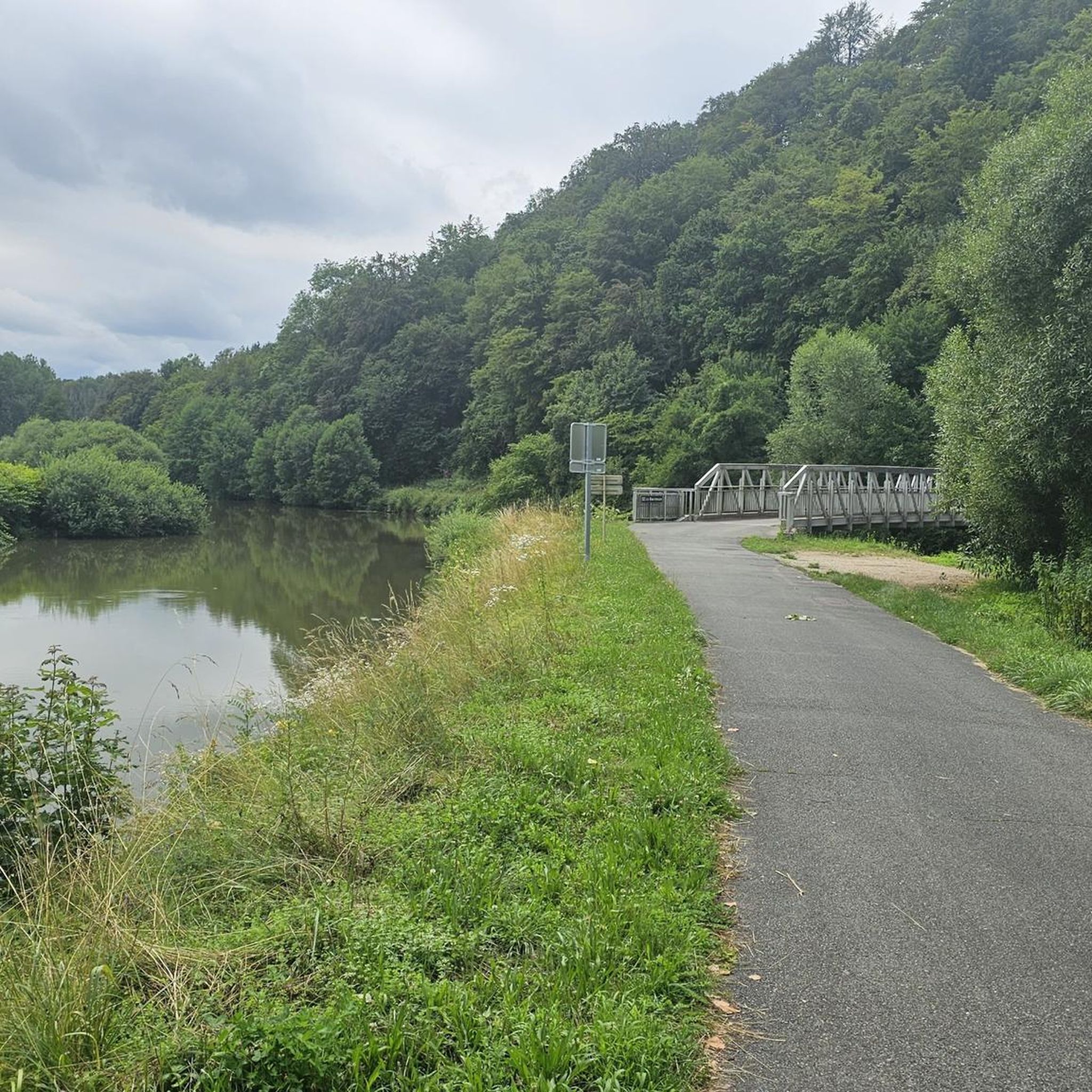
At the start of the long Voie Vert route on the former railway line between Dannemarie and Pfetterhouse, you'll also find the Dannemarie town sign with a small statue. From here, keep left until you reach the actual cycle path.
0
0

There are also toilets and a water point
0
0

This former customs house contains a repair station with tools, a room with a table, and toilets, making it ideal for fetching water and picnicking, even in the rain.
0
0


These 🚤⛵️🛥 are the welcome change on the EV6
2
0

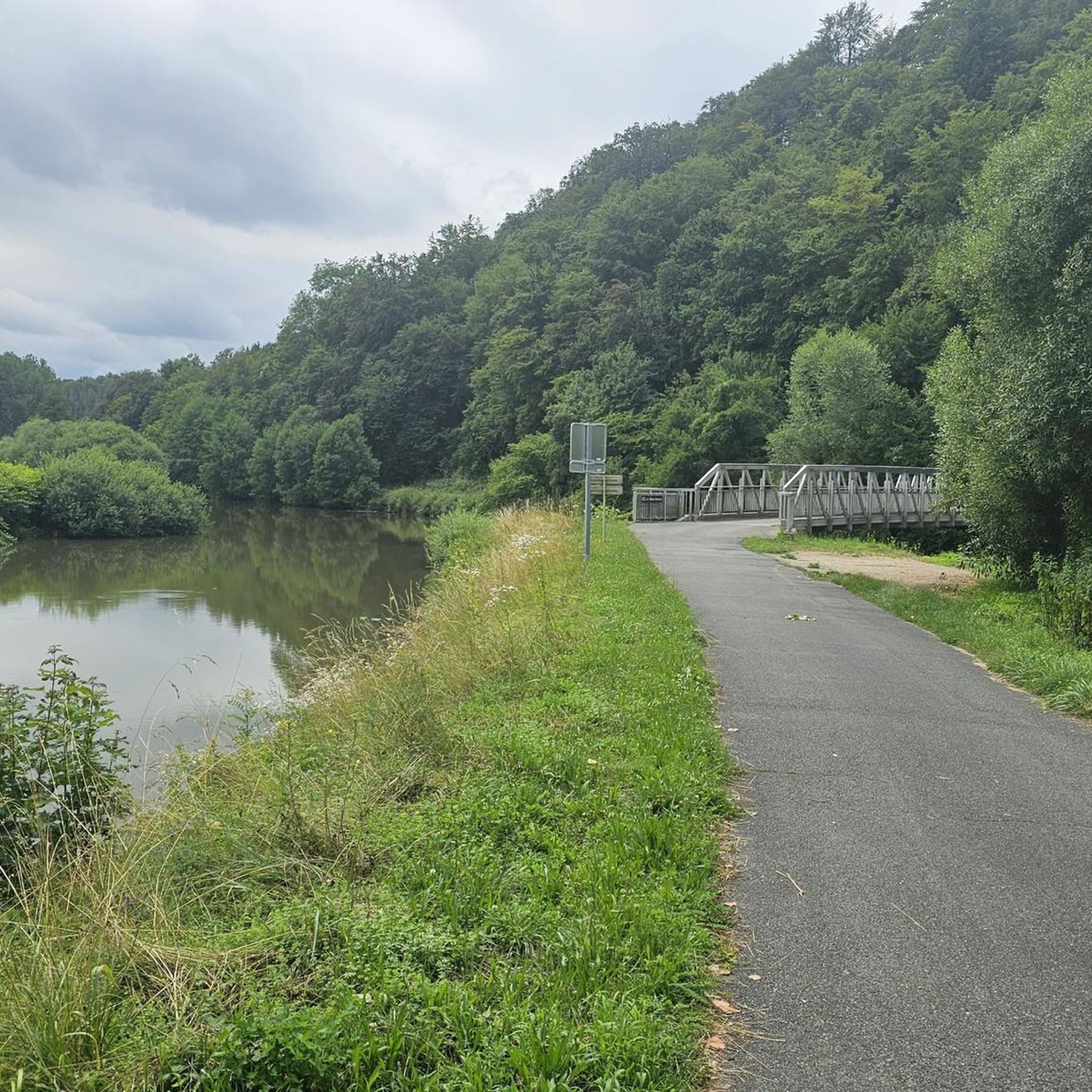
The Port fluvial de Dannemarie is no ordinary marina – it’s an unexpected oasis along the canal, where boats bob gently and herons keep watch. For cyclists, it feels like a little refuge: a place to take a break from the rhythm of your pedals and take on the rhythm of the water. Here you can refill your water bottle, stretch your legs on a bench in the shade or a little further away at the restaurant, or just watch the sun play on the surface of the canal.
9
1


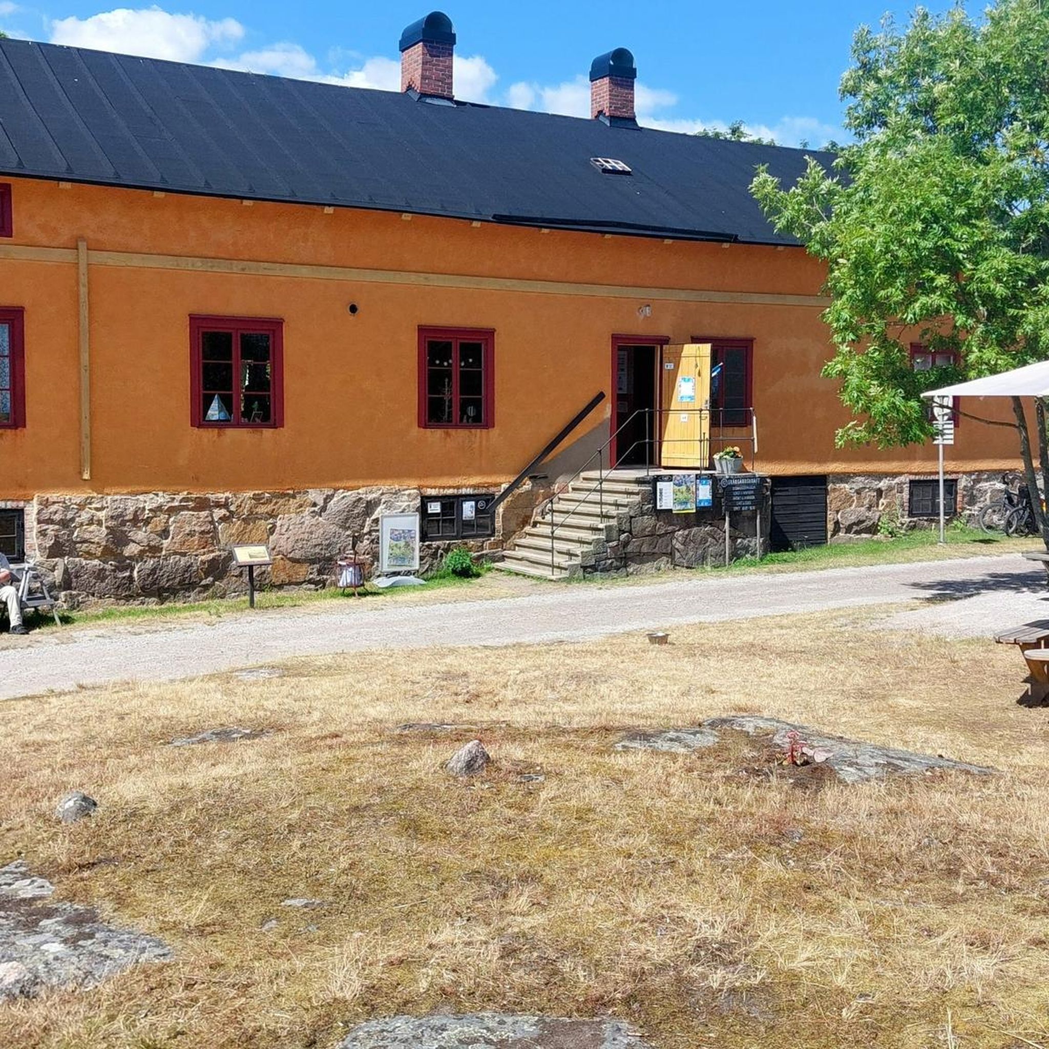
This house, including courtyard and garden, is decorated all over with watering cans. It contains a small boutique and is located on a pretty cycle route in Rougemont-le-Chateau
0
0
Frequently Asked Questions
How many road cycling routes are available in this area?
There are over 660 road cycling routes available, catering to various skill levels. This includes approximately 115 easy routes, 405 moderate routes, and 140 difficult routes for more experienced cyclists.
What kind of terrain can I expect on road cycling routes here?
The terrain offers a varied landscape, featuring a mix of open countryside and areas with historical landmarks. You'll encounter gentle inclines and more challenging ascents, with elevation gains ranging from under 200 meters to over 1300 meters. Routes often follow waterways or pass through rural settings.
Are there any easy road cycling routes suitable for beginners?
Yes, the area offers a good selection of easy routes. For instance, the Allenjoie lock intersection – Étupes Lock on the EV6 loop from Belfort-Montbéliard TGV is an easy 30.1-mile (48.5 km) trail with minimal elevation gain, perfect for a relaxed ride.
What are some challenging road cycling routes for experienced riders?
For experienced riders seeking a challenge, routes with significant elevation changes are available. The Belvedere de meslieres – Lomont Maquis Memorial loop from Morvillars is a difficult 77.8-mile (125.2 km) route with over 1300 meters of elevation gain, offering a demanding experience.
What can I see along the road cycling routes?
Many routes pass by interesting historical sites and natural features. You might encounter landmarks like the Citadel of Belfort, the Fort de Vézelois, or the Montbéliard–Haute-Saône Canal beside the Allan. The region also features various castles and historical sites.
Are there any circular road cycling routes?
Yes, many routes are designed as loops, allowing you to start and end at the same point. An example is the Saint-Maurice Church, Buix – Memorial to the fallen 🕊️ loop from Morvillars, a moderate 36.2-mile (58.2 km) path that offers a mix of flat sections and gentle climbs through rural scenery.
What do other road cyclists enjoy most about cycling in this area?
The area is highly rated by the komoot community, with an average score of 4.6 stars from over 400 reviews. Cyclists often praise the varied terrain, which offers options for all ability levels, and the mix of open landscapes with historical points of interest.
Are there any long-distance road cycling routes?
For longer rides, consider routes like the Allenjoie lock intersection – Château Peugeot loop from Morvillars. This trail spans 69.1 miles (111.1 km) and leads through varied terrain with notable elevation changes, typically taking about 4 hours and 41 minutes to complete.
What kind of historical landmarks can be found along the routes?
The routes often pass by significant historical sites. You can explore various fortifications such as the Mont Vaudois Fort or enjoy views of the Belfort citadel. The region's history is woven into its landscape, offering interesting points of interest during your ride.
Are there routes that follow canals or rivers?
Yes, some routes incorporate scenic sections along waterways. The Écluse Muehlenmatten – View of the viaduct loop from Belfort-Montbéliard TGV is a moderate route that offers views of the Canal du Rhône au Rhin and other water features.
What is the typical duration for road cycling routes in this area?
Route durations vary widely depending on distance and difficulty. Easy routes might take around 2 hours, such as the Allenjoie lock intersection – Étupes Lock on the EV6 loop. Longer, more challenging routes can take 4 hours or more, like the Allenjoie lock intersection – Château Peugeot loop.
Most popular attractions around Böll

Get inspired with the komoot mobile app


Explore more
Browse the best Road cycling routes in other regions.
