The best mountain hikes around Rehaupal
4.8
(11)
23
hikers
4
hikes
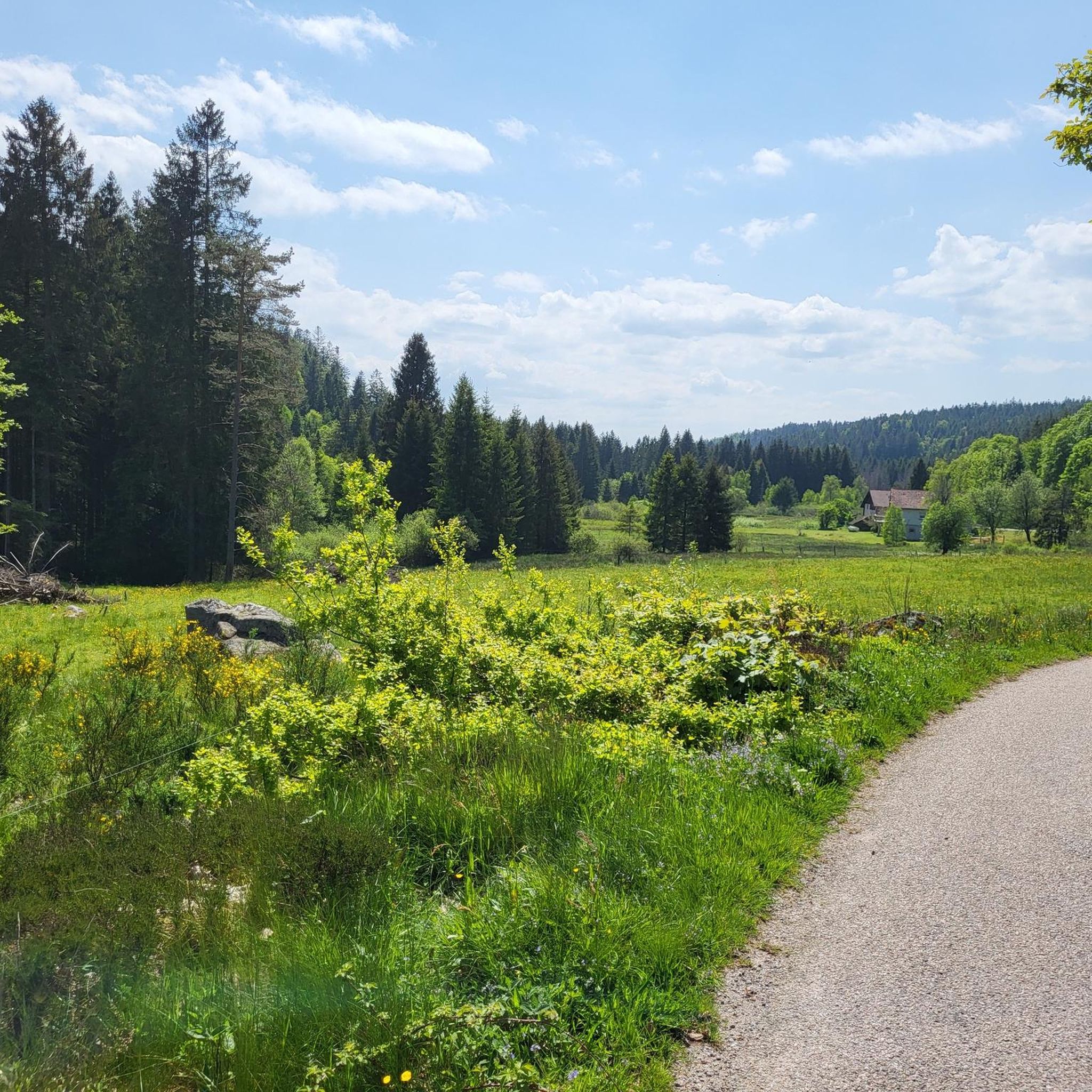
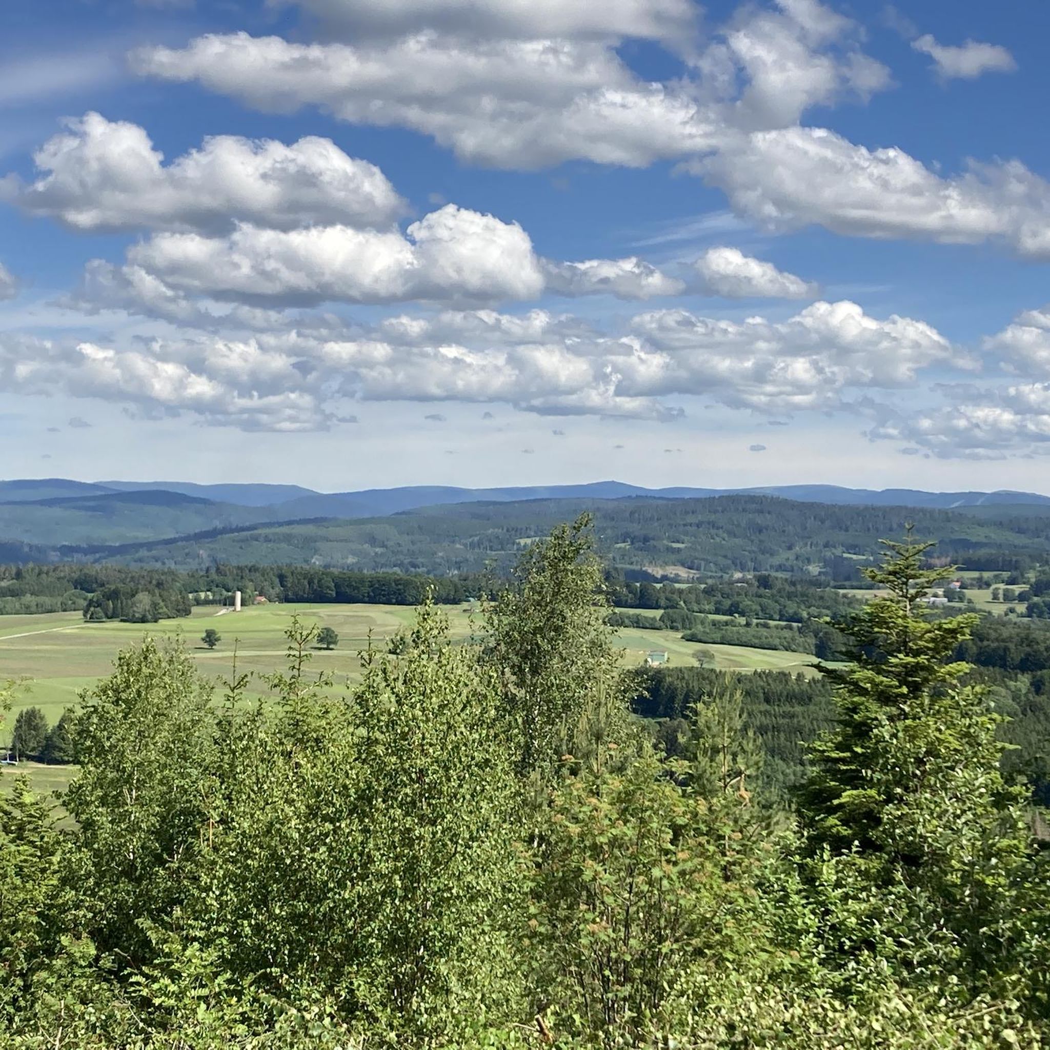
Mountaineering routes Rehaupal traverse a region characterized by varied mountainous terrain, featuring forests, water features, and significant elevation changes. The landscape provides a setting for challenging ascents and descents. This area is suitable for those seeking demanding outdoor experiences in a natural mountain environment.
Best mountaineering routes around Rehaupal
- The most popular mountaineering route is Iron spring – Mérelle Waterfall loop from Gérardmer, a 3.0 miles (4.8 km) trail that takes 1 hour 48 minutes to complete. This route…
Last updated: July 4, 2026
5.0
(3)
10
hikers
4.83km
01:48
230m
230m
Hard mountaineering route. Great for any fitness level. Sure-footedness, sturdy shoes and alpine experience required.
4.0
(2)
7
hikers
13.6km
04:06
300m
300m
Hard mountaineering route. Good fitness required. Sure-footedness, sturdy shoes and alpine experience required.

Sign up for free
5.0
(3)
3
hikers
4.65km
01:48
230m
230m
Hard mountaineering route. Great for any fitness level. Sure-footedness, sturdy shoes and alpine experience required.
5.0
(2)
2
hikers
4.12km
01:41
230m
240m
Hard mountaineering route. Great for any fitness level. Sure-footedness, sturdy shoes and alpine experience required.
5.0
(1)
1
hikers
6.13km
01:58
190m
190m
Hard mountaineering route. Great for any fitness level. Sure-footedness, sturdy shoes and alpine experience required.
Our route recommendations are based on thousands of hikes, rides, and runs completed by other people on komoot.
Start today with a free account
Your next adventure awaits.
Login or Signup
Tips from the Community


This is and has been one of the most beautiful hikes in decades – a mystical (fairy) forest with a picturesque gorge through which a clear stream meanders, burbling and gurgling! Truly, simply beautiful – nature that captivates, fascinates, and casts its spell...!!! Again and again...
1
0

There are countless stone figures at this spot. Perhaps you'd like to expand your collection 😉
1
0

A wonderful rocky path right on the lakeshore. Simply beautiful.
4
0
An idyllic nature reserve with moorland and a small pond.
5
0
A beautiful wooden tower with a narrow spiral staircase, it can accommodate a maximum of four people at a time. During the week and in bad weather, you won't have to wait long.
6
0

As already mentioned several times, there can be long waiting times for the climb, as a maximum of 4 people are allowed on the tower. To be honest, I'm used to higher observation towers. This one, with 85 steps, is rather small in my opinion. More information at https://visitgrandest.com/tour-de-merelle
3
0

We were there in bad weather. It was July and drizzling. That meant we didn't have to wait or queue
4
0
Frequently Asked Questions
What kind of terrain can I expect on mountaineering routes around Rehaupal?
Mountaineering routes in the Rehaupal area are characterized by varied mountainous terrain, featuring dense forests, significant water features, and challenging ascents and descents. The landscape is ideal for those seeking demanding outdoor experiences in a natural mountain environment.
How many mountaineering routes are available in the Rehaupal region?
There are five distinct mountaineering routes detailed for the Rehaupal region, all of which are considered difficult and offer a challenging experience.
Are there any family-friendly mountaineering options in Rehaupal?
The mountaineering routes around Rehaupal are primarily designed for advanced ability levels due to their challenging nature, significant elevation changes, and difficult terrain. There are no routes specifically categorized as easy or moderate for families with young children.
What are some notable natural attractions or landmarks I can see along the routes?
Several routes feature prominent natural attractions. For instance, the Iron spring – Mérelle Waterfall loop from Gérardmer includes the beautiful Mérelle Waterfall. Another route, Donkey's Leap – Merelle Observatory loop from Gérardmer, leads to the Merelle Observatory, offering expansive views. You can also find the Donkey's Leap along the Phény stream – Donkey's Leap loop from Lac de Gérardmer.
Are there any circular mountaineering routes available?
Yes, all the mountaineering routes listed for Rehaupal are circular. Examples include the Iron spring – Mérelle Waterfall loop from Gérardmer, the Donkey's Leap – Merelle Observatory loop from Gérardmer, and the Towards Lake Gérardmer loop from Gérardmer.
What do other mountaineers say about the routes in Rehaupal?
The komoot community highly rates the mountaineering routes in Rehaupal, with an average score of 4.8 stars from over 10 reviews. Users often praise the challenging nature of the trails and the beautiful natural surroundings, including waterfalls and scenic viewpoints.
What is the typical duration for these mountaineering routes?
The duration of the routes varies. For example, the Iron spring – Mérelle Waterfall loop from Gérardmer typically takes around 1 hour 48 minutes, while the longer Donkey's Leap – Merelle Observatory loop from Gérardmer can take over 4 hours to complete.
Are there any routes that lead to a lake?
Yes, the Towards Lake Gérardmer loop from Gérardmer and the Towards Lake Gérardmer loop from Lac de Gérardmer both lead through mountainous terrain towards Lake Gérardmer, offering scenic views of the water.
What is the longest mountaineering route in the area?
The longest mountaineering route listed is the Donkey's Leap – Merelle Observatory loop from Gérardmer, which spans 8.5 miles (13.7 km) and features significant elevation gain.
What is the shortest mountaineering route available?
The shortest mountaineering route is the Towards Lake Gérardmer loop from Lac de Gérardmer, covering a distance of 2.6 miles (4.1 km).
Are there any routes that feature waterfalls?
Yes, the Iron spring – Mérelle Waterfall loop from Gérardmer is a notable route that features the beautiful Mérelle Waterfall.
What kind of views can I expect on these routes?
The mountainous terrain and elevation gains offer various scenic views. For instance, the Donkey's Leap – Merelle Observatory loop from Gérardmer leads to the Merelle Observatory, providing expansive panoramas of the surrounding landscape.
Most popular routes around Rehaupal
Most popular attractions around Rehaupal

Get inspired with the komoot mobile app


Explore more
Browse the best Mountain Hikes & Routes in other regions.
