The best running trails around Argiésans
4.4
(202)
8,859
runners
413
runs
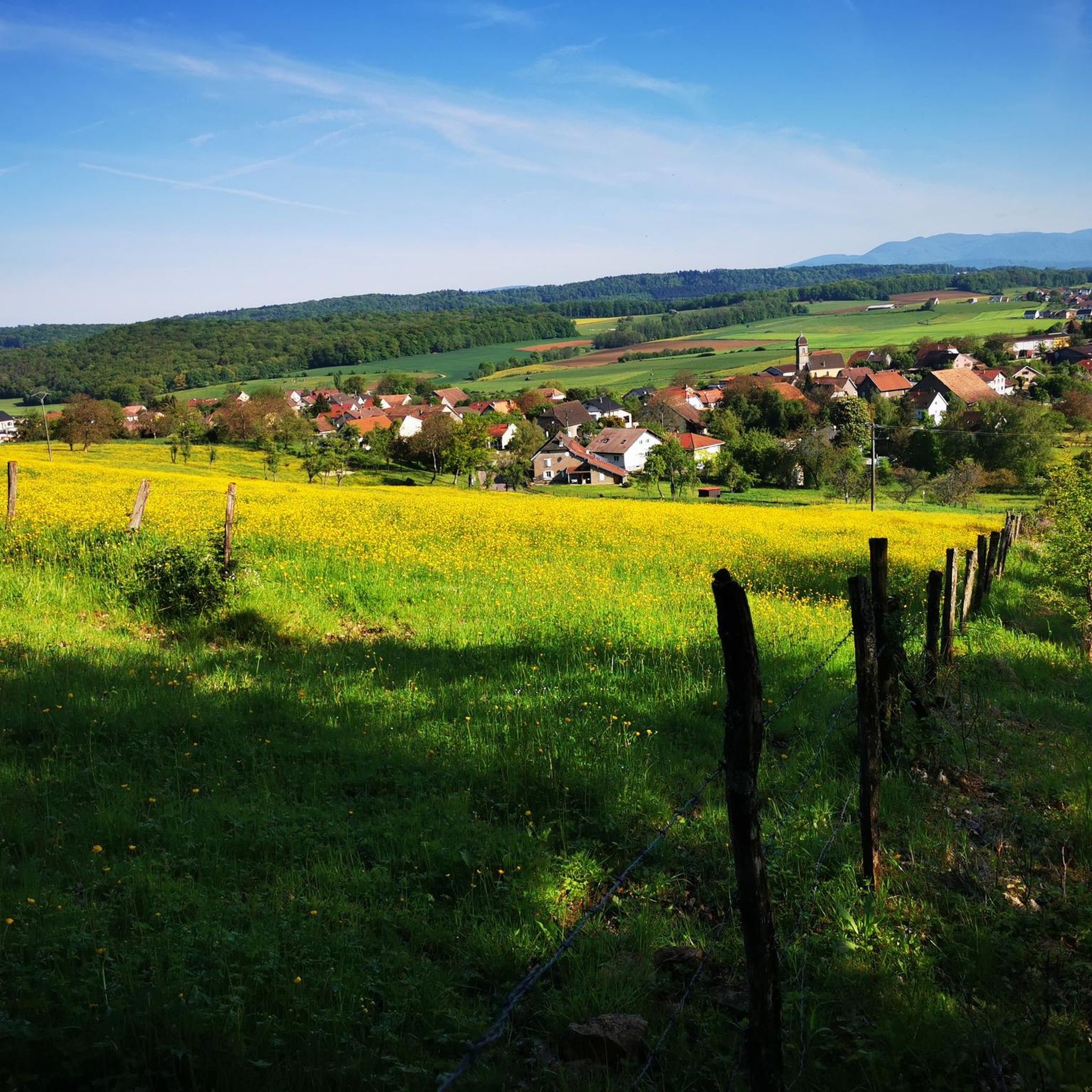
Jogging routes around Argiésans traverse a landscape characterized by rolling hills, dense woodlands, and open fields. The region, situated in eastern France, offers a mix of natural and semi-urban environments suitable for various running preferences. Elevation changes are generally moderate, with some routes featuring gradual climbs through forested areas. The terrain primarily consists of well-maintained paths and trails, making it accessible for regular running activities.
Best jogging routes around Argiésans
- The most popular jogging route is Le bois et fort…
Last updated: July 5, 2026
10
runners
Moderate run. Good fitness required. Mostly accessible paths. Some sure footedness required.
62
runners
8.45km
00:53
60m
60m
Moderate run. Good fitness required. Mostly paved surfaces. Suitable for all skill levels.

Sign up for free
3.5
(2)
28
runners
12.0km
01:20
100m
100m
Moderate run. Good fitness required. Mostly paved surfaces. Suitable for all skill levels.
23
runners
28.2km
02:59
100m
100m
Hard run. Very good fitness required. Mostly paved surfaces. Suitable for all skill levels.
8
runners
10.5km
01:10
170m
170m
Moderate run. Good fitness required. Mostly paved surfaces. Suitable for all skill levels.
Get access to more routes and recommendations from other explorers.
Sign up for free
Already have an account?
Our route recommendations are based on thousands of hikes, rides, and runs completed by other people on komoot.
Start today with a free account
Your next adventure awaits.
Login or Signup

Tips from the Community

A beautiful green paradise between the highway and the city. The birdsong even drowns out the highway noise.
0
0

A beautiful strip of nature with waters and wet meadows, between the motorway and the city, for relaxation and enjoyment of nature.
3
0

Very nice cycle path
0
0

Well done for sharing this knowledge and thank you for taking the time to share it with us.
0
0

I noticed this highlight during my search. However, it is not on the Haute Saône Canal but on an independent river, the Savoureuse. According to Wikipedia: The Savoureuse is a right tributary of the Allan, around 41 kilometers long, in the French department of Territoire de Belfort in the Bourgogne-Franche-Comté region. It flows through the city of Belfort and drains the western part of the department to the Mediterranean via the Allan, Doubs, Saône and Rhône water system. The Savoureuse catchment area covers an area of around 225 km². The river name comes from the Patois expression savour (saw). https://de.m.wikipedia.org/wiki/Savoureuse
2
0

Beautiful cycle route Coulée Verte along the canal. The name is a bit..., I suggested a change on Komoot.
1
1

This reserve, classified since 2008, helps protect the main bed of the Savoureuse, a river which crosses Montbéliard and Belfort. It helps preserve wetlands and the many species that live there, ranging from birds to amphibians. So, you may see gray woodpeckers, black kites or even kingfishers.
0
0

This reserve is a wetland that protects many species of fauna and flora. Enjoy this race around the Pâquis pond and the nature reserve.
2
0
Frequently Asked Questions
How many running routes are available in Argiésans?
There are over 400 running routes around Argiésans, offering a wide variety of options for all skill levels. The komoot community has explored these trails over 8,000 times.
Are there easy running routes in Argiésans suitable for beginners?
Yes, Argiésans offers a good selection of easy running paths. You'll find 31 routes classified as easy, often featuring relatively flat profiles and well-maintained surfaces, perfect for beginners or a relaxed run.
What is the typical length of running trails in Argiésans?
Running trails in Argiésans vary in length. For example, popular routes like Running loop from Bavilliers are around 5.3 miles (8.5 km), while others like Gravière de Dambenois loop from Urcerey can extend to nearly 17.5 miles (28 km) for a more challenging experience.
Are there many circular running routes in Argiésans?
Many of the running routes in Argiésans are circular, allowing you to start and finish at the same point. A great example is Running loop from Andelnans, which offers a convenient loop experience.
When is the best time of year to go running in Argiésans?
The region's climate generally makes spring and autumn ideal for running, with milder temperatures and beautiful scenery. Summer can also be pleasant, especially in the mornings or evenings, while winter runs are possible, though some trails might be muddy or require appropriate gear.
What interesting sights can I see while running in Argiésans?
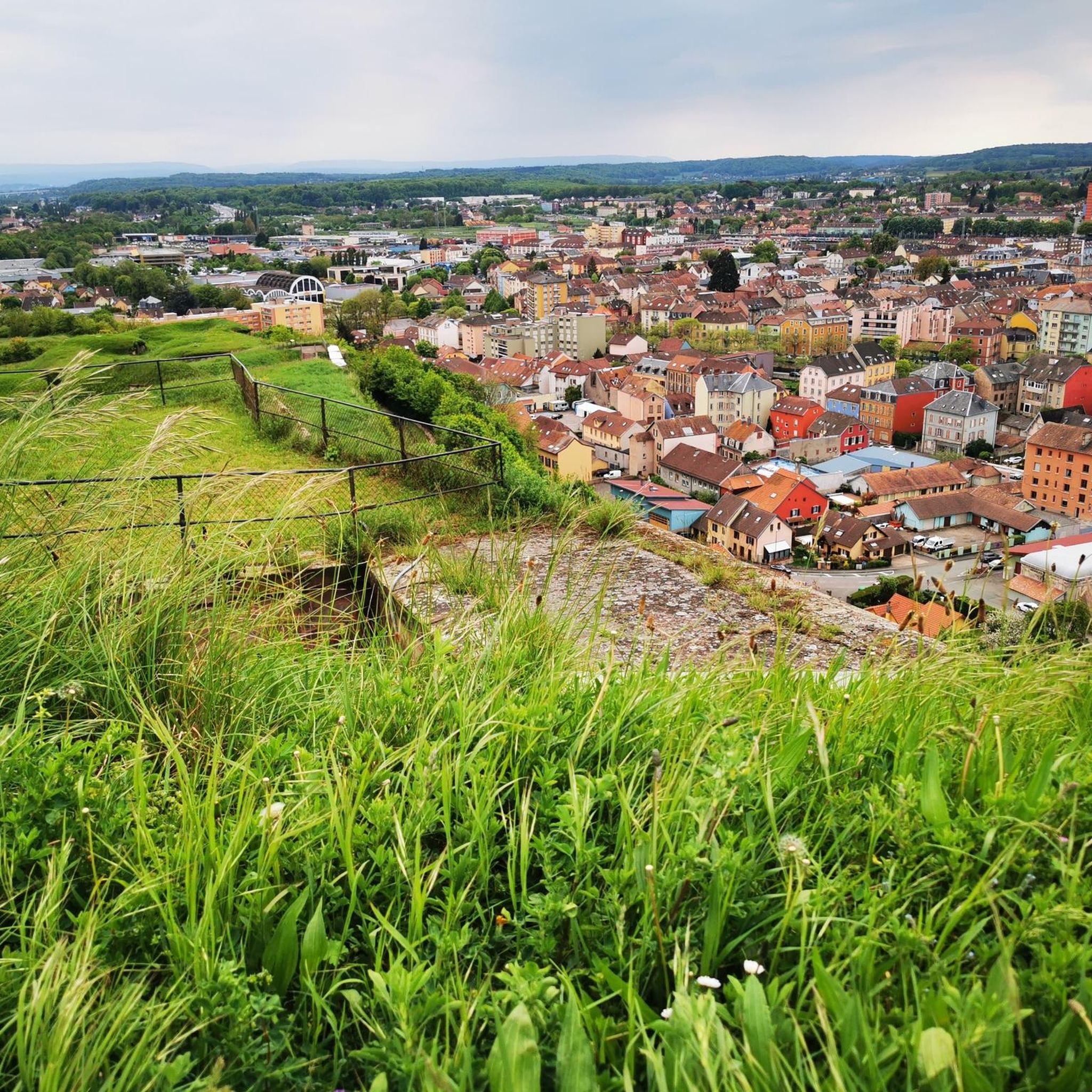
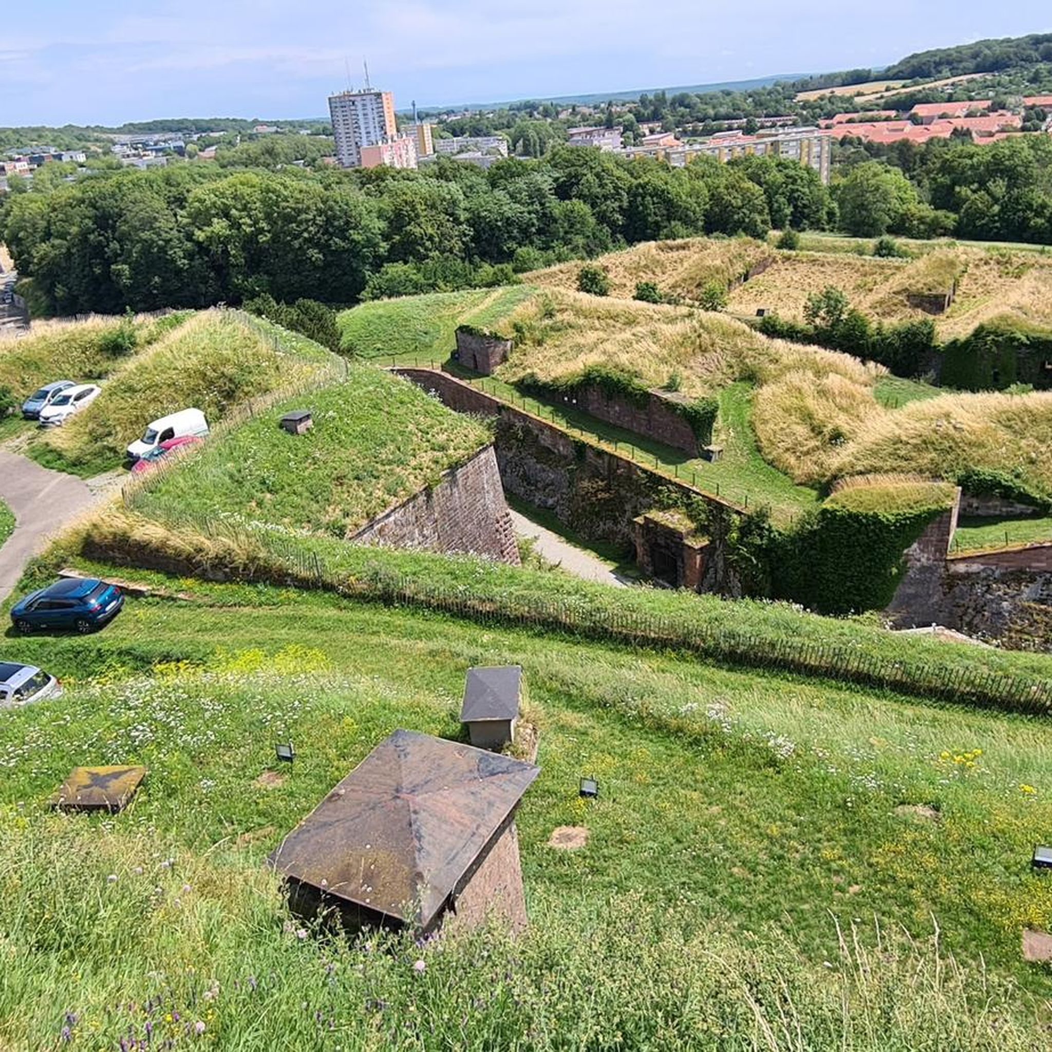
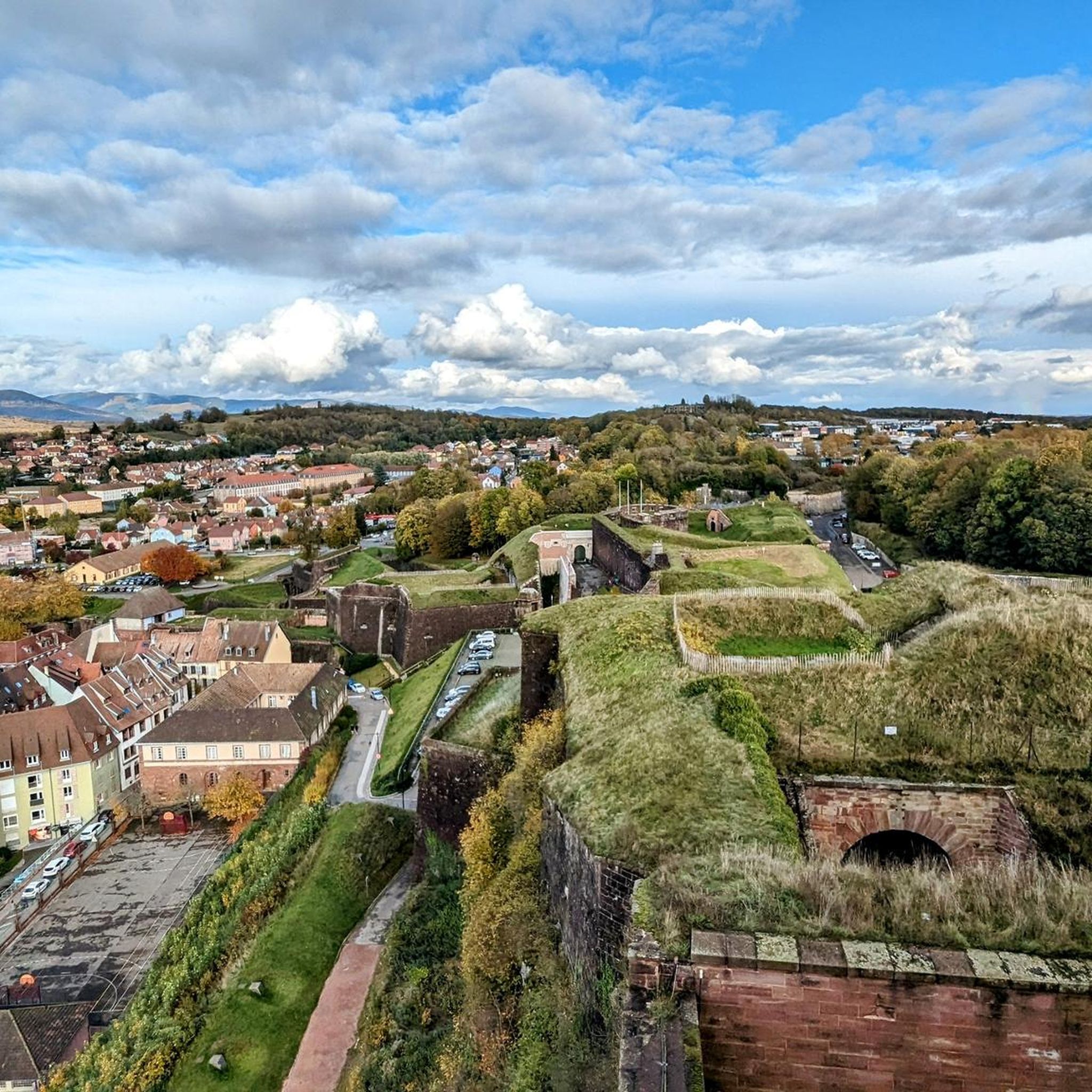
While running in Argiésans, you can encounter several historical sites and viewpoints. Notable attractions include the impressive Citadel of Belfort, the Mont Vaudois Fort, and various scenic spots offering a View of the Belfort citadel.
Are dogs allowed on the running trails in Argiésans?
Generally, dogs are welcome on many of the outdoor trails in Argiésans, especially in forested and rural areas. However, it's always advisable to keep them on a leash and check for any specific local regulations or signage, particularly in nature reserves or near private property.
Can I reach running routes in Argiésans by public transport?
While some routes might be accessible via local bus services to nearby towns, many running trails in Argiésans are situated in more rural settings. It's recommended to check local public transport schedules in advance or consider driving to trailheads for broader access.
Are there family-friendly running paths in Argiésans?
Yes, many of the easier and moderate routes in Argiésans are suitable for families. Paths with minimal elevation changes and well-maintained surfaces, often through woodlands or open fields, provide a pleasant experience for all ages. Look for routes marked as 'easy' for the best family options.
What do other runners enjoy the most about jogging in Argiésans?
The running routes in Argiésans are highly rated by the komoot community, with an average score of 4.5 stars. Runners often praise the varied terrain, which includes forested paths and gentle hills, as well as the well-maintained trails that offer a pleasant experience for different ability levels.
Can you recommend a less-known running route in Argiésans?
For a route that offers varied landscapes with minimal elevation changes, consider Le Trou de la Dame loop from Bavilliers. This 6.9-mile (11.1 km) trail is a local favorite that provides a refreshing run away from the most popular spots.
Are there any cafes or places to refuel near the running routes?
While specific cafes directly on every trail are uncommon, many routes start or pass near villages and towns like Bavilliers or Andelnans where you can find local bakeries, cafes, or small shops to refuel before or after your run.
Most popular attractions around Argiésans

Get inspired with the komoot mobile app


Explore more
Browse the best Running Trails & Routes in other regions.
