The best walks and hikes around Montboucher
4.7
(94)
488
hikers
47
hikes
Hiking around Montboucher-sur-Jabron offers diverse landscapes, including the banks of the Jabron River, wooded areas like the Bois de Lion, and elevated plateaus such as the Plateau de Géry. The terrain features a mix of rural country paths, fields, and forests, providing varied scenery for outdoor activities. The region is characterized by its natural features and proximity to the Drôme Provençale.
Best hiking trails around Montboucher
- The most popular hiking route is Châtelus le Marcheix – loop, a 4.7…
Last updated: June 27, 2026
4.3
(3)
13
hikers
7.52km
02:05
130m
130m
Moderate hike. Good fitness required. Mostly accessible paths. Sure-footedness required.
4.5
(2)
32
hikers
4.61km
01:18
100m
100m
Easy hike. Great for any fitness level. Easily-accessible paths. Suitable for all skill levels.

Sign up for free
4.0
(5)
15
hikers
6.38km
01:49
150m
150m
Easy hike. Great for any fitness level. Easily-accessible paths. Suitable for all skill levels.
4.0
(2)
9
hikers
10.5km
02:58
230m
230m
Moderate hike. Good fitness required. Easily-accessible paths. Suitable for all skill levels.
5.0
(2)
8
hikers
Hard hike. Very good fitness required. Easily-accessible paths. Suitable for all skill levels.
Get access to more routes and recommendations from other explorers.
Sign up for free
Already have an account?
Our route recommendations are based on thousands of hikes, rides, and runs completed by other people on komoot.
Start today with a free account
Your next adventure awaits.
Login or Signup
Tips from the Community

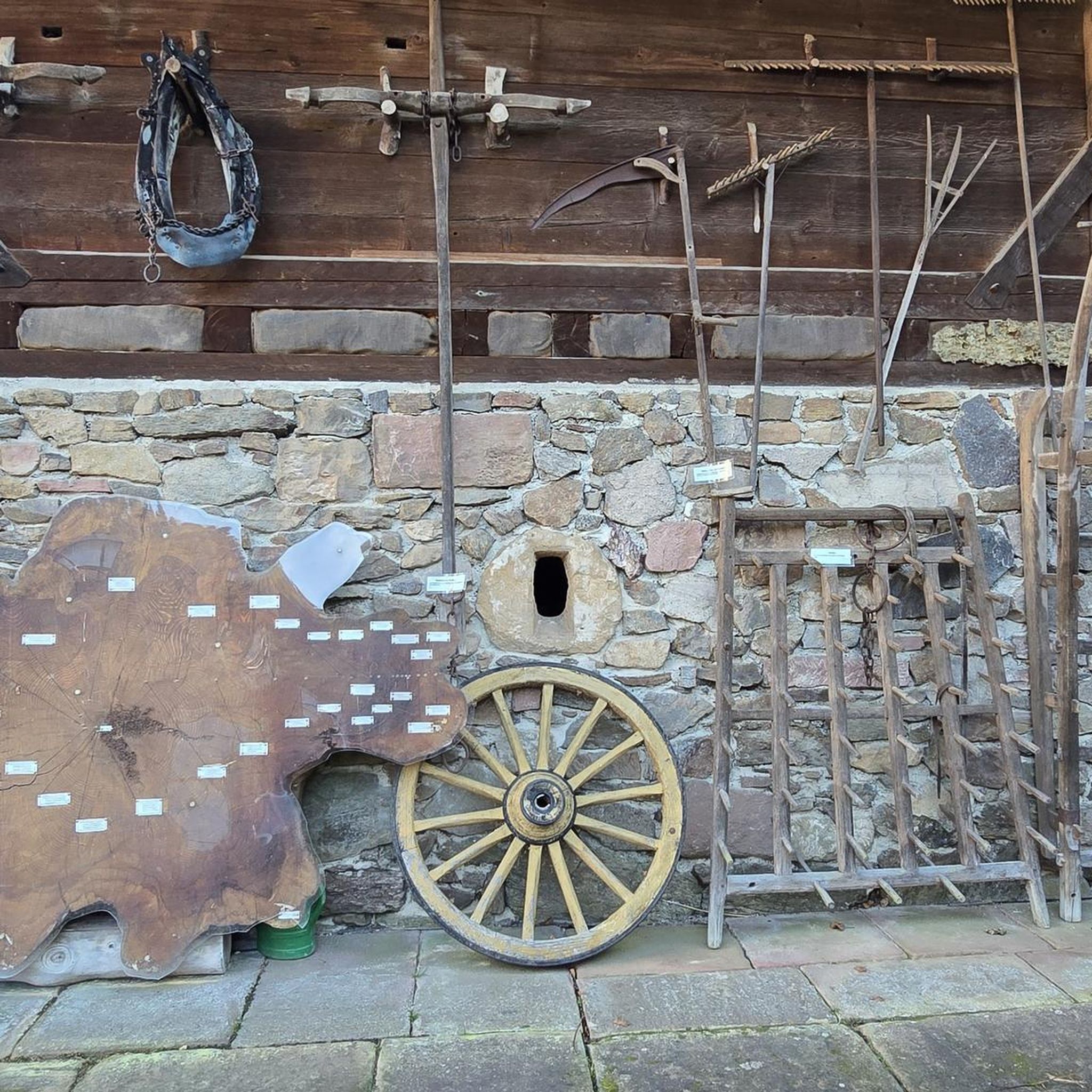
Quite steep trail. Magnificent view from the cliffs of the hill.
0
0
Pretty flowered bridge with geraniums crossing the Thaurion, a river with copper-brown water.
0
0
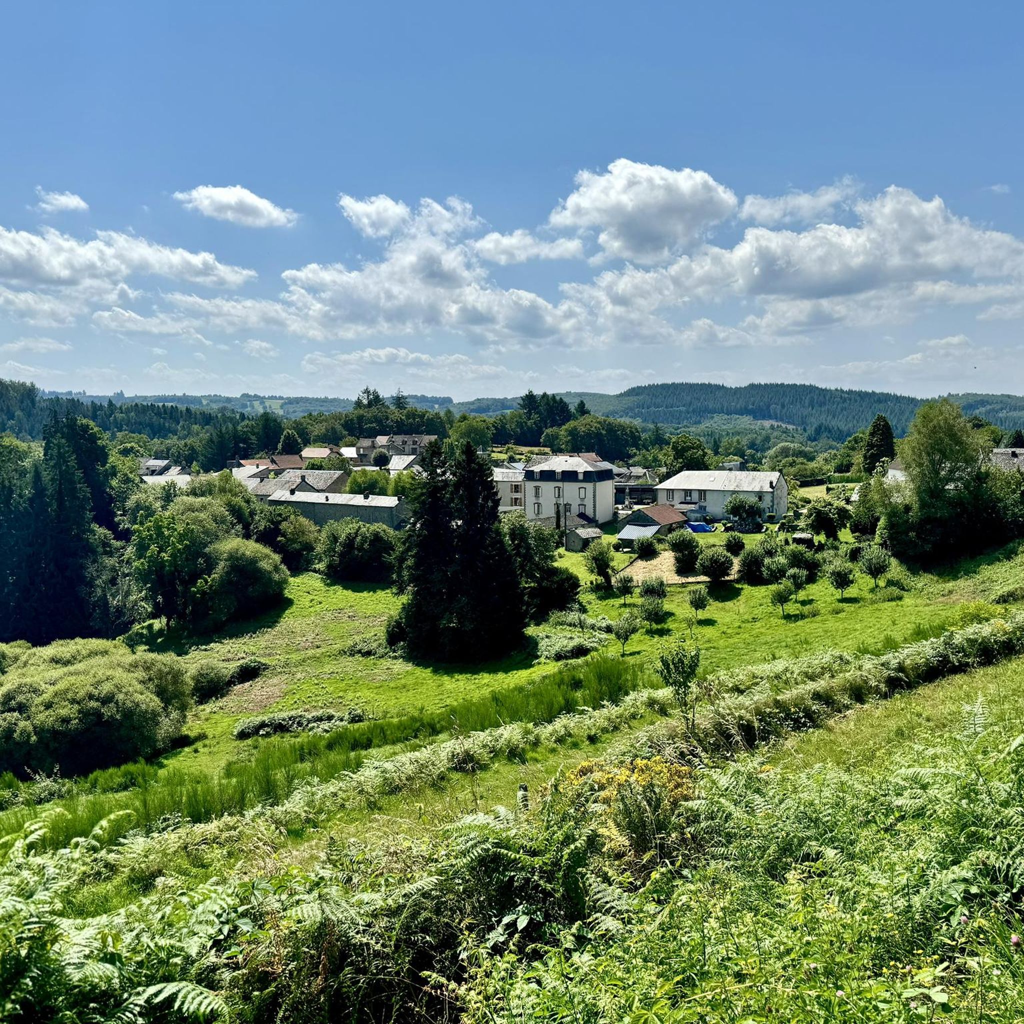
Beautiful view of the village and the valley from the fountain
0
0
(Sandy) beach supervised in summer
0
0
(Sandy) beach supervised in summer.
0
0

This furnished space allows you to enjoy the water during sunny days. Swimming is supervised in July and August from Tuesday to Sunday afternoon. A refreshment bar and the possibility of renting boats, canoes, pedal boats, and paddle boats complete the offer on this leisure base.
1
0

Bourganeuf is a small medieval town created by the Hospitallers. It is also the third city in France to have seen the appearance of electricity, hence its nickname the city of lights. The town even houses an electrification museum, in addition to its castle, its church and its characteristic Zizim tower.
0
0

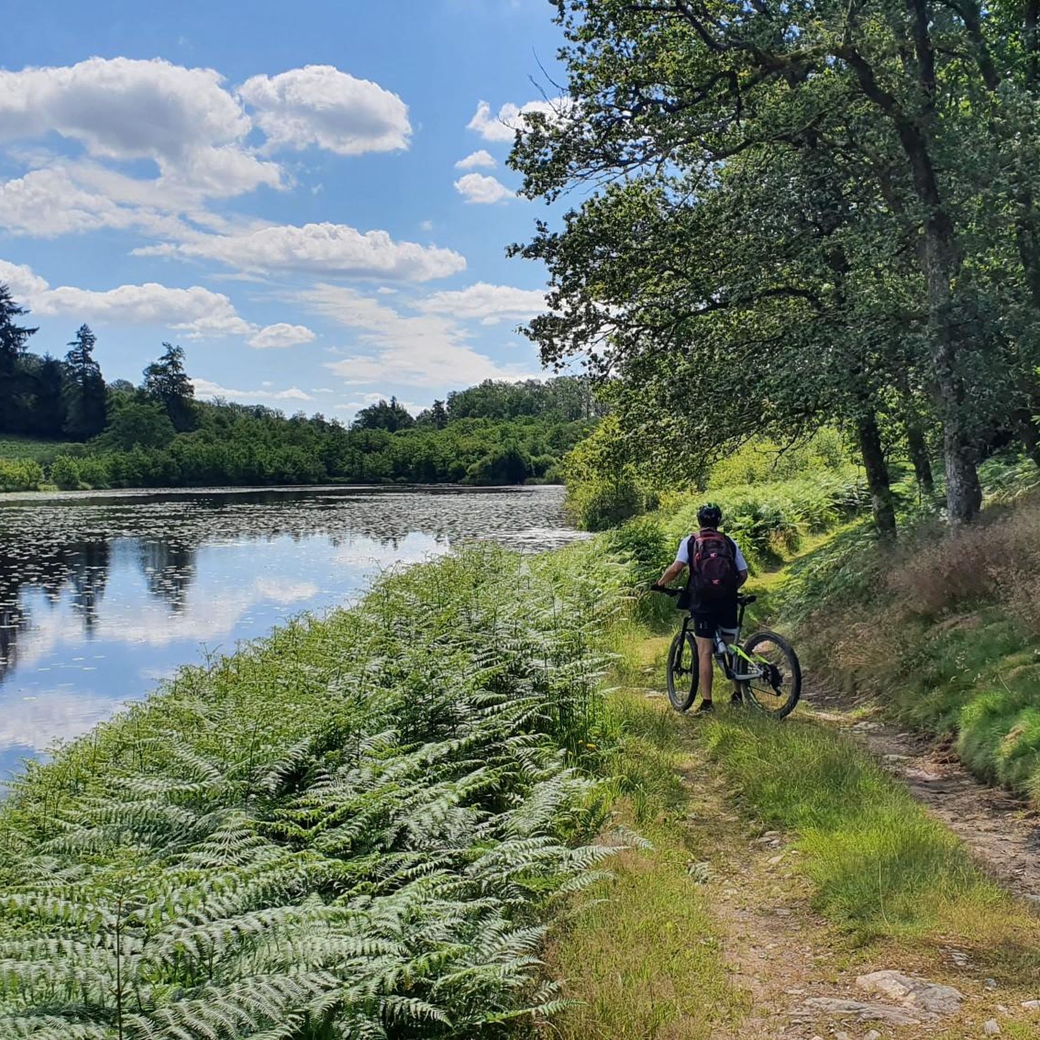
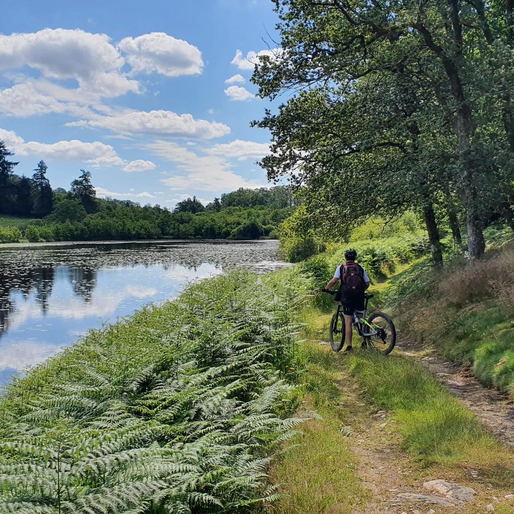
An ideal place to rest, swim and cool off or simply relax on the sandy beach and enjoy the tranquility of the river that passes in front of you.
2
0
Frequently Asked Questions
How many hiking trails are available around Montboucher-sur-Jabron?
There are over 35 hiking trails around Montboucher-sur-Jabron, offering a variety of experiences from easy strolls to more challenging routes. These trails explore the diverse landscapes of the Drôme region.
What kind of terrain can I expect on hikes near Montboucher-sur-Jabron?
The terrain around Montboucher-sur-Jabron is quite varied. You can expect to find pleasant walks along the banks of the Jabron River, shaded paths through wooded areas like the Bois de Lion, and rural country paths crossing fields and forests. Higher up, the Plateau de Géry offers more open landscapes and panoramic views.
Are there easy hiking options suitable for beginners or families in Montboucher-sur-Jabron?
Yes, Montboucher-sur-Jabron offers 14 easy hiking routes perfect for beginners or families. An example is the Zizim Tower loop from Bourganeuf, an easy 4.0-mile (6.4 km) path that provides a gentle ascent and is suitable for a shorter outing.
Are there more challenging hikes for experienced trekkers in the area?
For experienced trekkers, there are 6 difficult routes available. One such option is the Châtelus Bridge – Châtelus-le-Marcheix Beach loop from Châtelus-le-Marcheix, which covers 18.1 miles (29.2 km) with significant elevation changes, offering a more demanding adventure.
What natural features or landmarks can I see while hiking around Montboucher-sur-Jabron?
While hiking, you can explore the tranquil banks of the Jabron River, wander through the Bois de Lion, or ascend to the Plateau de Géry for magnificent panoramic views over the Valdaine plain. The historic Castel du Mont Boisé, from which the village gets its name, is also a notable landmark. Additionally, you might encounter the Châtelus Bridge or the charming settlement of Bourganeuf.
Are there any waterfalls to discover on hikes around Montboucher-sur-Jabron?
Yes, there are beautiful waterfalls to discover. You can visit the Jarrauds Waterfall or explore The Augerolles Waterfalls, both offering picturesque spots for a break during your hike.
What do other hikers say about the trails in Montboucher-sur-Jabron?
The hiking routes in Montboucher-sur-Jabron are highly rated by the komoot community, with an average score of 4.7 stars from over 70 reviews. Hikers often praise the varied terrain, the peaceful atmosphere of the riverbanks and wooded areas, and the scenic views from elevated points like the Plateau de Géry.
Are there any circular walks available in Montboucher-sur-Jabron?
Yes, many of the trails around Montboucher-sur-Jabron are circular, allowing you to start and end your hike in the same location. For instance, the Châtelus le Marcheix – loop is a popular moderate circular route covering 4.7 miles (7.5 km).
What is the best time of year to go hiking in Montboucher-sur-Jabron?
Montboucher-sur-Jabron, located in the Drôme Provençale, is pleasant for hiking during spring, summer, and autumn. Spring offers blooming landscapes, while summer provides warm weather for exploring the Jabron River banks. Autumn brings beautiful colors to the wooded areas. Always check local weather conditions before heading out.
Are there any specific trails that offer panoramic viewpoints?
Absolutely. The Plateau de Géry, located on the heights near Montélimar, is renowned for offering magnificent panoramic views over the Valdaine plain to the south and east. Hikes that incorporate this plateau will provide stunning vistas of the surrounding Drôme landscape.
Can I find accommodation or places to eat near the hiking trails in Montboucher-sur-Jabron?
Montboucher-sur-Jabron is a charming village with local amenities. While specific cafes directly on trails might be limited, the village itself and nearby towns offer various options for accommodation and dining. The region is also known for its charming villages like Le Poët-Laval and Mirmande, which often have local eateries.
Most popular attractions around Montboucher

Get inspired with the komoot mobile app


Explore more
Browse the best Hikes in other regions.
