The best walks and hikes around Reterre
4.6
(65)
299
hikers
38
hikes
Hiking around Reterre offers exploration of tranquil pastoral landscapes within the Creuse department of central France. The region is characterized by its rural charm, with elevations ranging from 450m to 617m, providing varied terrain. Trails often follow the banks of the Chat-Cros river and lead through wooded areas, with notable geological formations like the Pierres Jaumètres nearby.
Best hiking trails around Reterre
- The most popular hiking route is Le Chat-Cros loop from Évaux-les-Bains, a 5.1 miles (8.2 km) trail…
Last updated: June 27, 2026
4.6
(10)
57
hikers
8.24km
02:23
200m
200m
Moderate hike. Good fitness required. Easily-accessible paths. Suitable for all skill levels.
5.0
(3)
8
hikers
Moderate hike. Good fitness required. Easily-accessible paths. Suitable for all skill levels.

Sign up for free
4.7
(3)
24
hikers
4.29km
01:11
70m
70m
Easy hike. Great for any fitness level. Easily-accessible paths. Suitable for all skill levels.
5.0
(1)
6
hikers
10.7km
03:09
300m
300m
Moderate hike. Good fitness required. Easily-accessible paths. Suitable for all skill levels.
5.0
(1)
6
hikers
9.12km
02:30
150m
150m
Moderate hike. Good fitness required. Easily-accessible paths. Suitable for all skill levels.
Get access to more routes and recommendations from other explorers.
Sign up for free
Already have an account?
Our route recommendations are based on thousands of hikes, rides, and runs completed by other people on komoot.
Start today with a free account
Your next adventure awaits.
Login or Signup
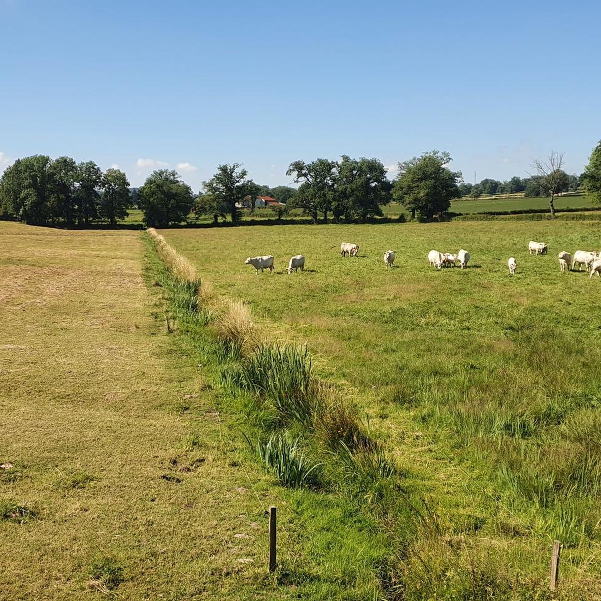
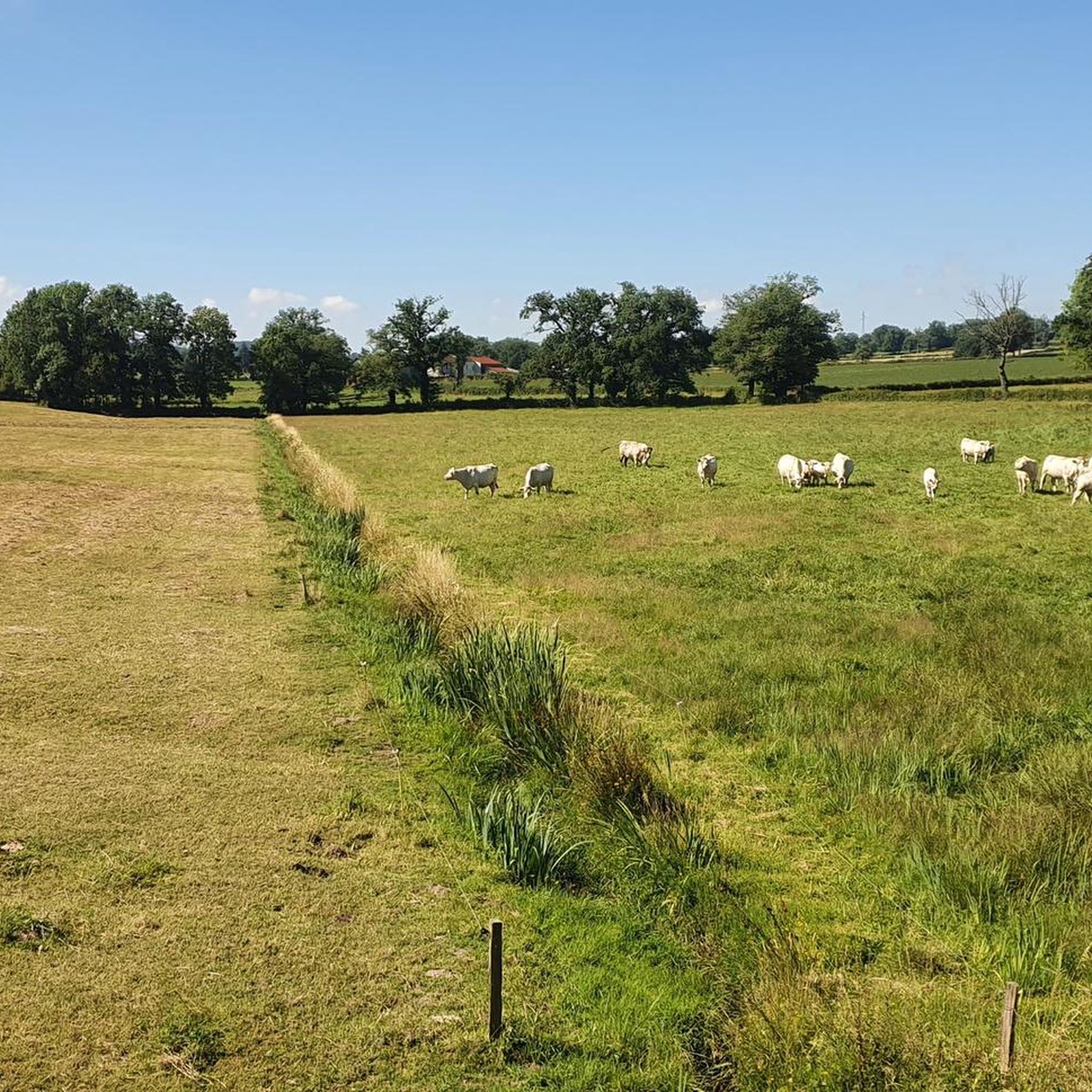

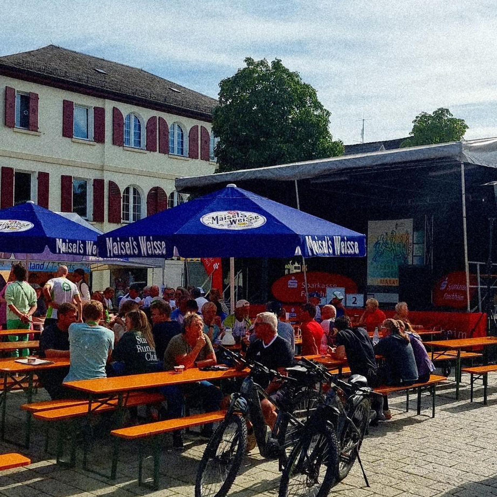
Tips from the Community

pretty thermal town of Creuse.
0
0

Evaux-les-Bains, with this beautiful mural, is advertising itself. It is, as its name indicates, a spa village. Hydrotherapy has been practiced here since Roman times, but reached its peak at the beginning of the 20th century. There is a lot of art deco in Evaux, located in the heart of Combraille. Art lovers from this period, have fun discovering the many visible works, particularly in the layout of certain bourgeois houses.
1
0

End of our tour of the Creuse in this charming town.
1
0
Frequently Asked Questions
What types of hiking trails can I find around Reterre?
Reterre offers a variety of hiking trails, primarily easy to moderate, winding through tranquil pastoral landscapes, along the Chat-Cros river, and into wooded areas. You'll find routes suitable for different fitness levels, with 13 easy and 21 moderate trails available.
Are there any easy hiking trails suitable for families in Reterre?
Yes, Reterre has several easy trails perfect for families. For instance, the Hiking loop from Évaux-les-Bains is an easy 3.0 km path, offering an accessible option for a quick outdoor experience. Another easy option is the Beautiful hollow path loop from Auzances, which is 3.5 km long.
Can I bring my dog on the hiking trails around Reterre?
Generally, dogs are welcome on most hiking trails in the rural areas around Reterre, provided they are kept under control, especially when passing through farming areas or near livestock. It's always a good idea to keep them on a leash and clean up after them to respect the local environment and other hikers.
Are there any circular hiking routes available in Reterre?
Yes, many of the trails around Reterre are designed as loops, allowing you to start and end in the same location. Examples include the popular Le Chat-Cros loop from Évaux-les-Bains and the Beautiful somewhat removed path – Beautiful forest path loop from Évaux-les-Bains.
What natural features or landmarks can I expect to see while hiking near Reterre?
While hiking near Reterre, you'll experience the tranquil countryside, the Chat-Cros river, and extensive wooded areas. The broader Creuse department is known for its 'wild and authentic nature.' Further afield, about 28 km from Reterre, you can visit the unique geological formations of the Pierres Jaumètres. You might also encounter local attractions such as the Evaux-les-Bains Mural or the historic Sainte-Valérie Abbey Church.
What do other hikers say about the trails in Reterre?
The hiking routes in Reterre are highly rated by the komoot community, with an average score of 4.7 stars from over 40 reviews. Hikers often praise the serene pastoral landscapes, the peaceful river paths, and the authentic natural experience the region offers.
Is public transport available to reach hiking trailheads near Reterre?
Public transport options directly to specific trailheads in Reterre are limited due to its rural nature. Most hikers typically rely on personal vehicles to access the starting points of trails. Parking is generally available in or near the villages where routes begin, such as Évaux-les-Bains or Auzances.
Are there any permits required for hiking in the Reterre area?
No, generally, no special permits are required for hiking on the public trails and paths around Reterre. The region emphasizes open access to its natural landscapes for walking and cycling.
What is the best time of year to go hiking in Reterre?
The best time to hike in Reterre is typically from spring through autumn (April to October). During these months, the weather is generally pleasant, and the natural landscapes are at their most vibrant. Autumn offers beautiful foliage, while spring brings wildflowers. Winter hiking is possible but can be cold and some paths might be muddy.
Are there any longer, more challenging hikes around Reterre?
While Reterre primarily offers easy to moderate trails, some routes provide a longer experience. For example, the Beautiful somewhat removed path – Beautiful forest path loop from Évaux-les-Bains is a moderate 15.6 km trail, often completed in about 4 hours 14 minutes, offering a more extended exploration of the forest paths.
Where can I find accommodation or places to eat near Reterre after a hike?
Reterre itself is a small commune, but nearby towns like Évaux-les-Bains or Auzances offer more options for accommodation, cafes, and pubs. These towns are common starting points for many local hikes and provide amenities for visitors.
Are there any specific trails that follow the Chat-Cros river?
Yes, the Chat-Cros river is a prominent feature of the Reterre landscape. The Le Chat-Cros loop from Évaux-les-Bains is a popular moderate route that directly follows the course of this river, offering pleasant riverside views.
Most popular attractions around Reterre

Get inspired with the komoot mobile app


Explore more
Browse the best Hikes in other regions.
