The best walks and hikes around Marigny
4.4
(99)
526
hikers
105
hikes
Hiking around Marigny offers a network of trails through the rural landscapes of the Allier region in France. The area is characterized by rolling hills, agricultural fields, and sections of dense woodland, providing varied terrain for hikers. Paths often connect charming villages and historical sites, making for scenic walks. The elevation changes are generally moderate, suitable for a range of hiking abilities.
Best hiking trails around Marigny
- The most popular hiking route is Hiking loop from Marigny, a 7.0…
Last updated: August 26, 2026
3.7
(3)
13
hikers
11.6km
03:02
80m
80m
Moderate hike. Good fitness required. Easily-accessible paths. Suitable for all skill levels.
5.0
(1)
3
hikers
9.61km
02:29
50m
50m
Moderate hike. Good fitness required. Easily-accessible paths. Suitable for all skill levels.

Sign up for free
3
hikers
10.4km
02:45
100m
100m
Moderate hike. Good fitness required. Easily-accessible paths. Suitable for all skill levels.
4
hikers
10.8km
02:52
120m
120m
Moderate hike. Good fitness required. Easily-accessible paths. Suitable for all skill levels.
4.0
(2)
4
hikers
8.19km
02:11
90m
90m
Moderate hike. Good fitness required. Easily-accessible paths. Suitable for all skill levels.
Get access to more routes and recommendations from other explorers.
Sign up for free
Already have an account?
Our route recommendations are based on thousands of hikes, rides, and runs completed by other people on komoot.
Start today with a free account
Your next adventure awaits.
Login or Signup



Tips from the Community

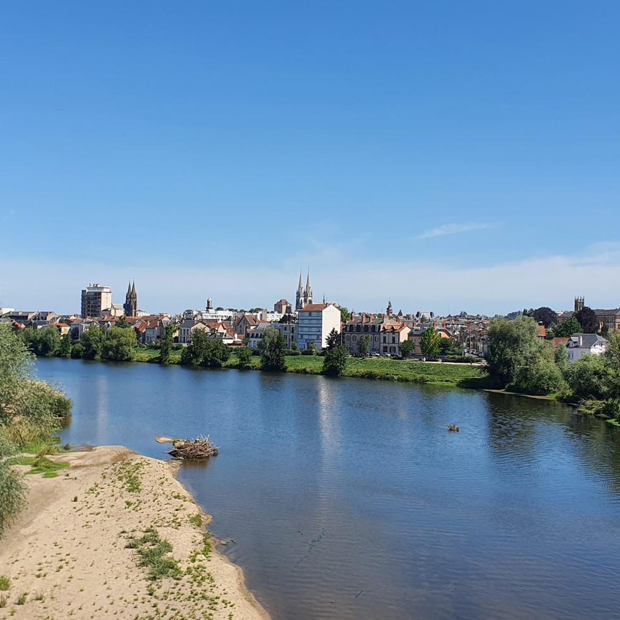
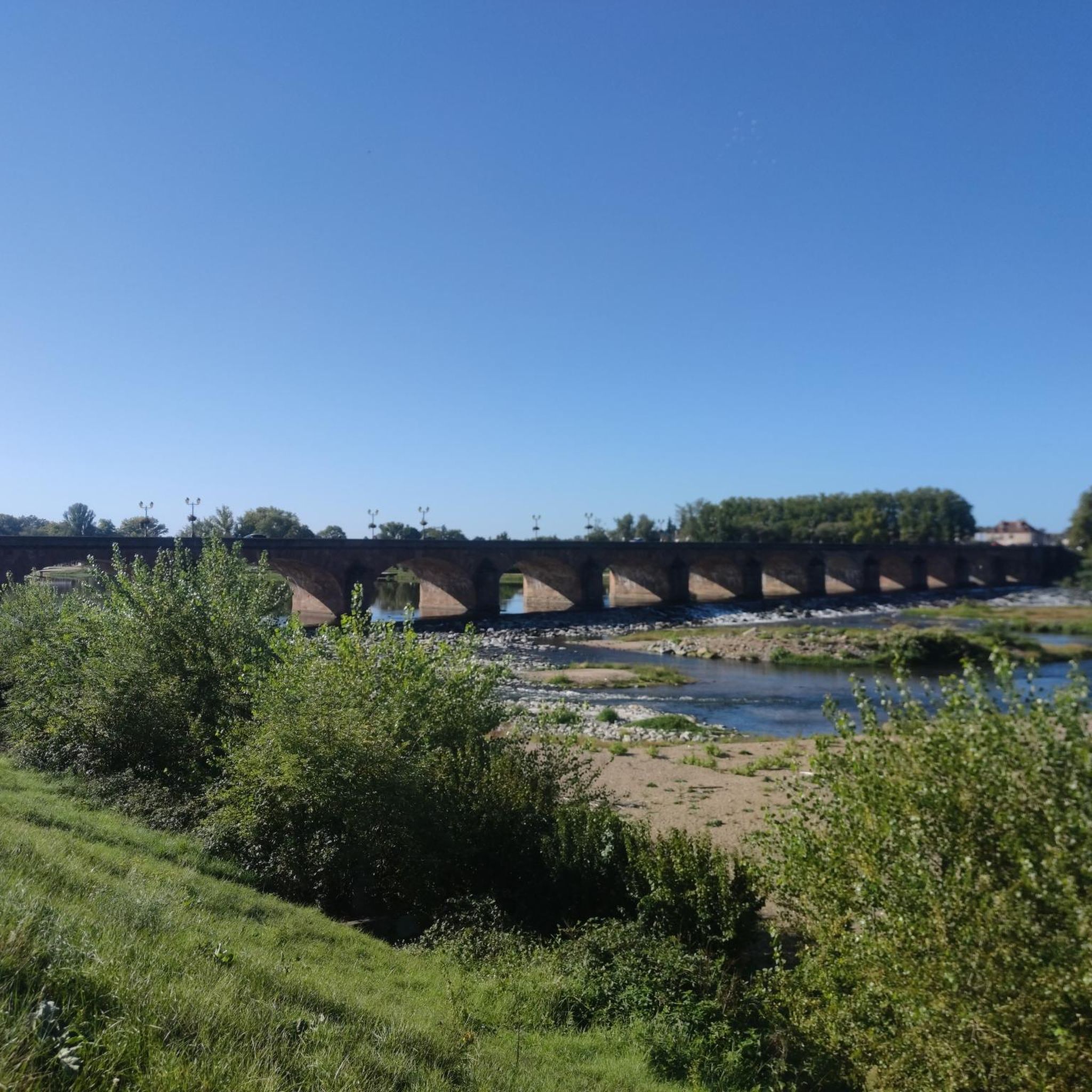
This ford, located a few kilometers before Moulins, can be very slippery. You arrive there after a 600 m descent at 7%, so be careful!
0
0

12th century church composed of a nave of three bays, a fourth bay forming a choir, and a semi-circular apse. Transepts were added. The south chapel was added in the 15th century and the north chapel in the mid-19th century. The facade has a heavy gable at the bottom of which opens a door with a trefoiled tympanum (12th century) under two ores scrolls, crowned by a cornice and corbels. The portal is decorated with sculptures (angel's head; goat's head; flora; man with accentuated virility; chimera or griffin...). The bell tower has two floors, the first being decorated on its four sides with three blind arcatures; the second, which contains the belfry, has each face pierced with three bays separated by twin columns. Of Romanesque origin, this church was remodeled in the 17th century (two chapels), then in the 19th century. Its three-bay nave is unique and its choir is narrower. It has a portal with a trefoiled tympanum and capitals decorated with curved leaves, heads and griffins.
1
0
Free visit to the exteriors all year round. Beautiful ensemble consisting of a quadrangular main building (17th century) flanked by square turrets topped with imperial roofs cushioned by slate lanterns. Set also composed of the chapel (1720), the dovecote, the granary with an inverted boat hull frame (dated 1617), the Reserve house with its half-timbering (15th century). A French terraced garden (1840) decorates the premises. Since 1696, the property has been in the same family.
0
0

Souvigny is a French commune located in the Allier department in the Auvergne-Rhône-Alpes region. Located in the heart of Bourbonnais, the city is the cradle of the Bourbon family, of which it was an important city of the lordship of Bourbon. It preserves an exceptional heritage linked to its affiliation with the powerful abbey of Cluny. In addition to the recumbent figures of the last Dukes of Bourbon, the priory church, the largest religious building in the Allier department, preserves the relics of several saints, including those of two abbots of Cluny who died in Souvigny: Mayeul, 4th abbot (died in 994), and Odilon his successor (died in 1049).
0
0
Frequently Asked Questions
How many hiking trails are available around Marigny?
There are nearly 100 hiking trails around Marigny, offering a wide variety of options for exploring the rural landscapes of the Allier region. These routes range from easy strolls to more challenging paths.
What is the typical difficulty level of hikes in Marigny?
The majority of hikes around Marigny are classified as moderate, with 54 routes falling into this category. There are also 37 easy trails for more relaxed walks, and a couple of more difficult options for experienced hikers.
Are there any circular walking routes in the Marigny area?
Yes, many of the trails around Marigny are designed as loops, allowing you to start and end at the same point. For example, consider the Water Crossing loop from Moulins, which offers a moderate 10.7 km (6.6 miles) journey through varied terrain.
What kind of natural features can I expect to see on hikes near Marigny?
Hiking around Marigny will take you through diverse landscapes, including rolling hills, agricultural fields, and sections of dense woodland. You'll experience the tranquil rural scenery characteristic of the Allier region.
Are there any historical landmarks or points of interest along the trails?
Yes, the region around Marigny is rich in history. You can explore sites like the Priory of St. Peter and St. Paul in Souvigny, or visit the nearby town of Moulins to see the Moulins Cathedral and the Sacred Heart Church. Some trails also pass by structures like The iron bridge over the Allier River.
What do other hikers say about the trails in Marigny?
The trails in Marigny are highly regarded by the komoot community, holding an average rating of 4.5 out of 5 stars from over 80 reviews. Hikers often praise the peaceful rural paths and the well-maintained routes that showcase the region's natural beauty.
Are there any easy hiking trails suitable for beginners or a relaxed walk?
Absolutely. Marigny offers 37 easy trails perfect for those looking for a gentle walk. These routes typically feature minimal elevation changes and provide a pleasant way to experience the countryside.
Can I find longer hiking routes for a more extended adventure?
While many routes are moderate in length, you can combine sections or explore trails like the Water Crossing loop from Moulins, which is over 10 km (6 miles), to enjoy a longer outing. The network of trails allows for varied distances.
What is the best time of year to go hiking in Marigny?
The region's rolling hills and woodlands are enjoyable throughout much of the year. Spring and autumn offer pleasant temperatures and beautiful scenery, while summer provides longer daylight hours. Winter hiking is also possible, though conditions may vary.
Are there any hikes near the town of Moulins?
Yes, the area around Moulins offers several hiking opportunities. A notable option is the Water Crossing loop from Moulins, a moderate 10.7 km (6.6 miles) trail that starts and ends in the vicinity of Moulins.
Are there any trails that pass through the Forêt des Prieurés Bagnolet?
Yes, the Forêt des Prieurés Bagnolet is a key feature of the local hiking landscape. While the specific route mentioned in the intro is popular, other trails may also traverse parts of this dense forest, offering a tranquil woodland experience.
What kind of terrain should I expect on the trails around Marigny?
The terrain around Marigny is generally varied, featuring a mix of rolling hills, open agricultural fields, and shaded woodland paths. The elevation changes are typically moderate, making for an engaging but manageable hiking experience.
Most popular attractions around Marigny

Get inspired with the komoot mobile app


Explore more
Browse the best Hikes in other regions.
