The best walks and hikes around Taponas
4.4
(302)
1,741
hikers
164
hikes
Hiking around Taponas offers routes primarily along the Saône River, characterized by flat terrain and gentle paths. The region's landscape is defined by its proximity to the river, providing accessible walking opportunities. Most trails feature minimal elevation changes, making them suitable for relaxed outdoor activities.
Best hiking trails around Taponas
- The most popular hiking route is Les Minimes au Paradis, a 7.6 miles (12.2 km) trail that takes 3 hours 14 minutes to complete. This moderate route features gentle…
Last updated: June 27, 2026
4.7
(3)
22
hikers
12.2km
03:14
120m
120m
Moderate hike. Good fitness required. Easily-accessible paths. Suitable for all skill levels.
5.0
(1)
17
hikers
5.68km
01:26
10m
10m
Easy hike. Great for any fitness level. Easily-accessible paths. Suitable for all skill levels.

Sign up for free
5.0
(3)
7
hikers
4.58km
01:14
60m
60m
Easy hike. Great for any fitness level. Easily-accessible paths. Suitable for all skill levels.
3.0
(1)
18
hikers
5.66km
01:31
70m
70m
Easy hike. Great for any fitness level. Easily-accessible paths. Suitable for all skill levels.
5.0
(2)
9
hikers
15.5km
03:55
30m
30m
Moderate hike. Good fitness required. Easily-accessible paths. Suitable for all skill levels.
Get access to more routes and recommendations from other explorers.
Sign up for free
Already have an account?
Our route recommendations are based on thousands of hikes, rides, and runs completed by other people on komoot.
Start today with a free account
Your next adventure awaits.
Login or Signup

Tips from the Community

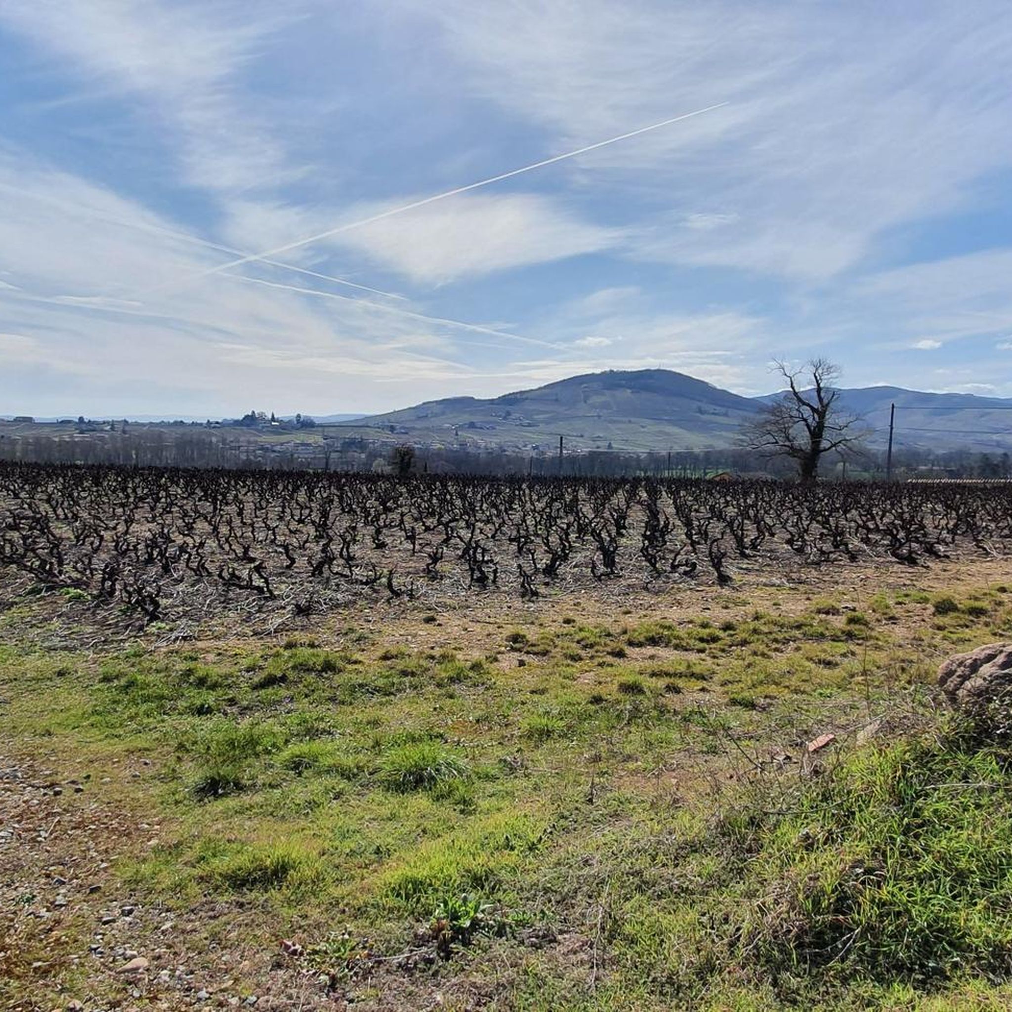
Ideally located on the banks of the Saône, north of Lyon and close to the Beaujolais hillsides, Guéreins is a very pleasant village.
0
0
The Saône was described for the first time by Julius Caesar in his collection The Conquest of the Gauls. He describes this river as being so calm that one does not know in which direction it flows.
0
0

The Tour des Minimes in Montmerle sur Saône was restored in 2020. It can be visited with the adjacent chapel. Inside, a total of 87 steps of a wooden staircase lead to its top. From this height, you have a phenomenal view of Beaujolais and the Saône.
1
0
The Tour des Minimes in Montmerle sur Saône was restored in 2020. It can be visited together with the adjacent chapel. Inside, a total of 87 steps lead up a wooden spiral staircase to its top, from which you have a phenomenal view of the Beaujolais and the Saône.
1
0

Frequently Asked Questions
What kind of hiking trails can I expect around Taponas?
Hiking around Taponas primarily features routes along the Saône River, characterized by flat terrain and gentle paths. The landscape offers accessible walking opportunities with minimal elevation changes, making them suitable for relaxed outdoor activities. You'll find a mix of riverside paths and open fields.
How many hiking trails are available in the Taponas region?
There are over 150 hiking trails around Taponas recorded on komoot. These include a variety of options, with approximately 60 easy routes, 90 moderate routes, and a few more challenging paths.
Are there any easy hikes suitable for beginners or families with children?
Yes, Taponas offers many easy routes perfect for beginners and families. An excellent option is the Saône riverside loop from Guéreins, an easy 3.1 miles (5.0 km) path that follows the riverbanks, offering flat and accessible walking. Another family-friendly choice is the Guéreins loop from Guéreins, a 2.8 miles (4.5 km) trail through open countryside.
What do other hikers say about the trails in Taponas?
The hiking trails around Taponas are highly rated by the komoot community, with an average score of 4.4 stars from over 250 reviews. More than 1,600 hikers have used komoot to explore the area, often praising the accessible riverside paths and gentle terrain.
Are there any longer or more moderate hiking options available?
For those looking for a moderate challenge, the Les Minimes au Paradis trail is a popular choice. This route is 7.6 miles (12.2 km) long and features gentle undulations through the local landscape, typically taking around 3 hours and 15 minutes to complete. Another moderate option is the Saône riverside loop from Belleville-en-Beaujolais, covering about 5.7 miles (9.1 km).
Are there any circular walks around Taponas?
Yes, many of the trails around Taponas are circular, offering convenient starting and ending points. Examples include the Saône riverside loop from Guéreins and the Guéreins loop from Guéreins. These loops allow you to experience the scenery without retracing your steps.
What interesting places or landmarks can I see near the hiking trails?
While hiking around Taponas, you can explore several interesting nearby attractions. Consider visiting the historic Château de Fléchères, or enjoy the scenic Towpath along the Saône. You might also spot a traditional Windmill or explore sections of La Voie Bleue, a long-distance cycling and walking route.
Is Taponas suitable for dog-friendly walks?
Given the prevalence of riverside paths and open fields with minimal elevation, many trails around Taponas are generally suitable for walks with dogs. However, always ensure your dog is under control and check local regulations regarding leash requirements, especially near agricultural areas or nature reserves.
What is the best time of year to go hiking in Taponas?
The flat terrain and riverside paths of Taponas make it accessible for hiking during much of the year. Spring and autumn offer pleasant temperatures and scenic views. Summer can be enjoyable, particularly along the river where there might be some shade. Winter hiking is also possible, though conditions may vary.
Are there any trails that offer scenic viewpoints?
While the Taponas region is characterized by flat terrain along the Saône River, offering pleasant riverside views, it does not feature significant elevation for panoramic viewpoints. However, you can find a notable summit nearby, Mont Brouilly, which offers more elevated perspectives of the surrounding landscape.
How accessible are the hiking trails by public transport?
Information on specific public transport access points for individual trailheads in Taponas is not extensively detailed. However, given the region's focus on local paths and riverside routes, many trails may be accessible from villages or towns that have local bus services. It's advisable to check local transport schedules for specific starting points.
Most popular attractions around Taponas

Get inspired with the komoot mobile app


Explore more
Browse the best Hikes in other regions.
