The best walks and hikes around Saint-Rémy-Sur-Durolle
4.4
(195)
1,248
hikers
23
hikes
Hiking around Saint-Rémy-Sur-Durolle offers access to a network of trails characterized by rolling hills and the presence of water bodies like Lac de Saint-Rémy-sur-Durolle and Plan d'Eau des Prades. The terrain typically features moderate elevation changes, making it suitable for various hiking abilities. The area provides opportunities for exploring both open landscapes and forested sections, including mysterious pine forests and an arboretum.
Best hiking trails in Saint-Rémy-Sur-Durolle
- The most popular hiking route is View of Lake Prades – Plan d'Eau…
Last updated: July 9, 2026
4.8
(4)
47
hikers
1.78km
00:28
10m
10m
Easy hike. Great for any fitness level. Easily-accessible paths. Suitable for all skill levels.
18
hikers
9.80km
02:56
310m
310m
Moderate hike. Good fitness required. Easily-accessible paths. Suitable for all skill levels.

Sign up for free
5.0
(1)
18
hikers
Moderate hike. Good fitness required. Easily-accessible paths. Suitable for all skill levels.
2
hikers
Moderate hike. Good fitness required. Easily-accessible paths. Suitable for all skill levels.
5.0
(2)
5
hikers
Easy hike. Great for any fitness level. Easily-accessible paths. Suitable for all skill levels.
Get access to more routes and recommendations from other explorers.
Sign up for free
Already have an account?
Our route recommendations are based on thousands of hikes, rides, and runs completed by other people on komoot.
Start today with a free account
Your next adventure awaits.
Login or Signup

Tips from the Community

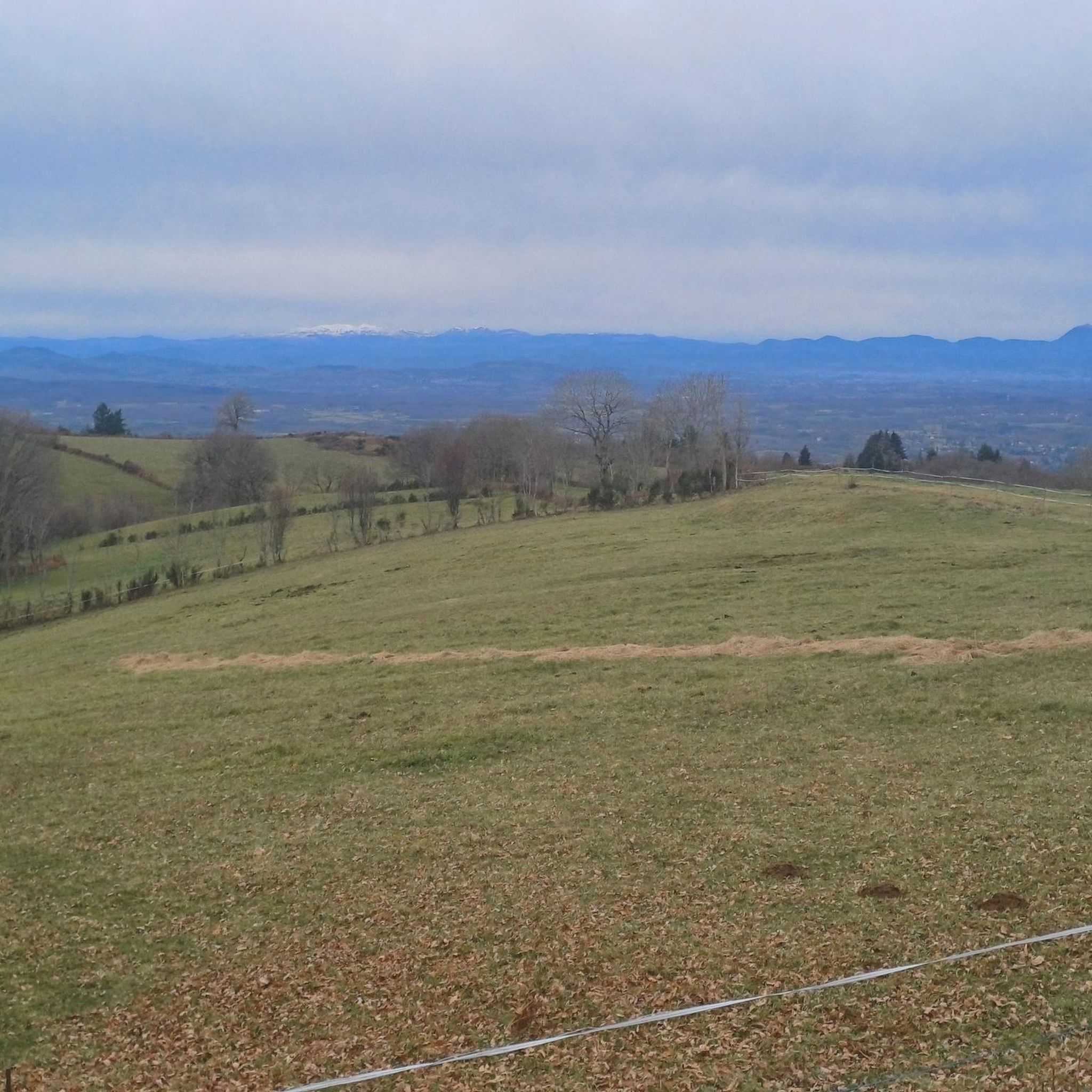
Wonderful view. Definitely worth it
0
0
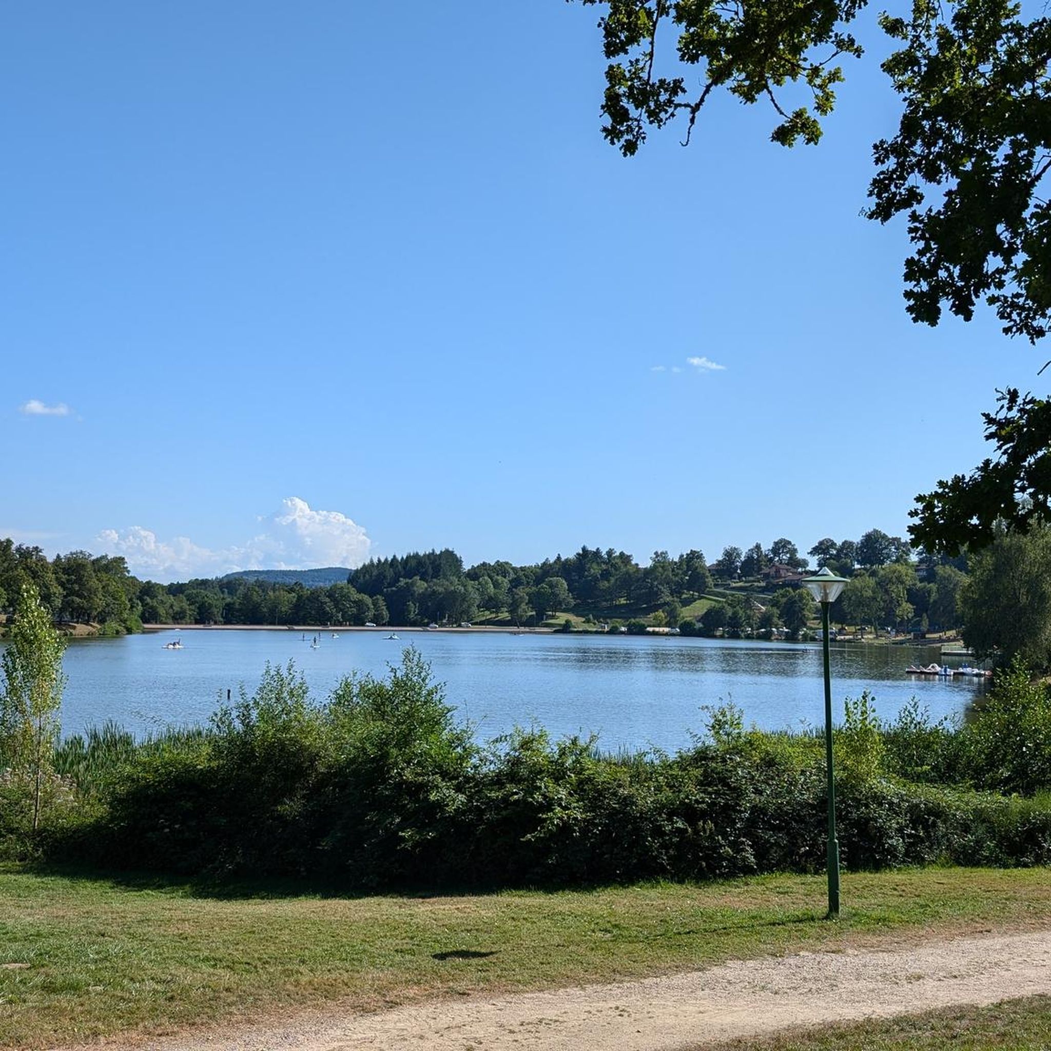
Great bathing and leisure lake
0
0

The Prades lake is a designated green resort. It features two beaches and offers a wide range of activities, including lovely hikes in the surrounding area.
0
0
Nice view of the Livradois-Forez and the Prades lake in Saint-Rémy-sur-Durolle.
0
0
The Calvary (Christian monument comprising between one and three crosses) of Saint-Rémy-sur-Durolle also offers a magnificent view.
0
0
Frequently Asked Questions
How many hiking trails are available around Saint-Rémy-Sur-Durolle?
There are over 25 hiking trails in the Saint-Rémy-Sur-Durolle area. These routes cater to various skill levels, with a good mix of easy and moderate options.
Are there any easy, family-friendly hiking routes in Saint-Rémy-Sur-Durolle?
Yes, the region offers several easy routes suitable for families. A great option is the View of Lake Prades – Plan d'Eau des Prades loop from Saint-Rémy-sur-Durolle, which is an easy 2.4 km (1.5 miles) trail offering pleasant lake views.
What are the best circular walks around Saint-Rémy-Sur-Durolle?
Many of the trails in Saint-Rémy-Sur-Durolle are circular, allowing you to start and end at the same point. For a moderate loop, consider the Plan d'Eau des Prades loop from Saint-Rémy-sur-Durolle, which covers about 9.3 km (5.8 miles) and takes around 2 hours 40 minutes.
Are there any waterfalls to see while hiking near Saint-Rémy-Sur-Durolle?
Yes, the area features natural attractions including waterfalls. You can explore the Creux de Saillant Waterfall, which is a notable natural monument in the vicinity.
What kind of terrain can I expect on hikes around Saint-Rémy-Sur-Durolle?
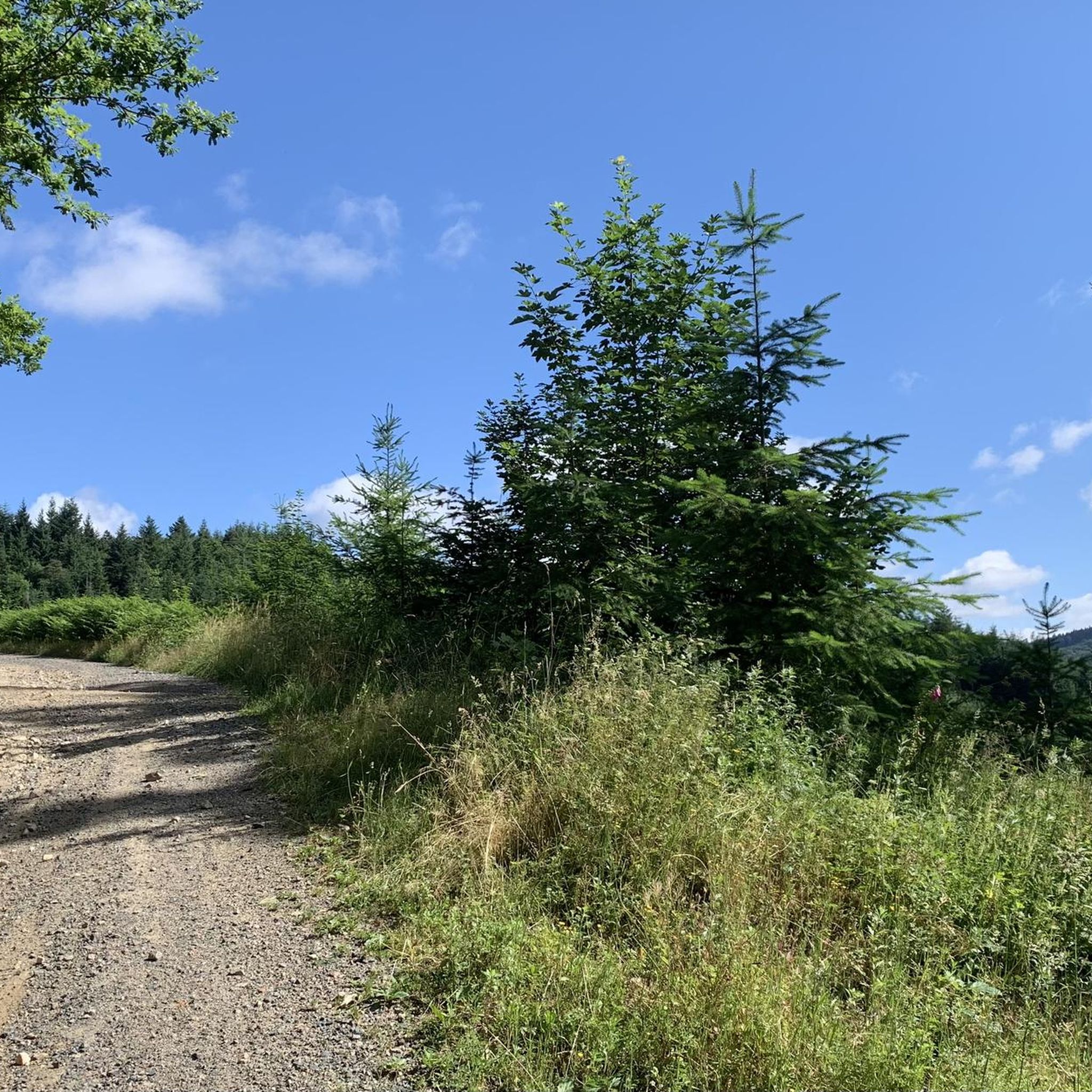
The terrain around Saint-Rémy-Sur-Durolle is characterized by rolling hills and the presence of water bodies like Lac de Saint-Rémy-sur-Durolle and Plan d'Eau des Prades. You'll find moderate elevation changes, with a mix of open landscapes and forested sections.
What do other hikers enjoy most about the trails in Saint-Rémy-Sur-Durolle?
The hiking trails in Saint-Rémy-Sur-Durolle are highly rated by the komoot community, with an average score of 4.4 stars from over 180 reviews. Hikers often praise the scenic lake views, the varied rolling terrain, and the accessibility of the loop trails.
Are there any challenging hikes for experienced trekkers?
While most routes are easy to moderate, there is at least one difficult trail available for those seeking a greater challenge. These routes typically feature more significant elevation gains and longer distances.
What are some interesting places to explore near the hiking routes?
Beyond the trails, you can visit several interesting sites. Consider exploring the Puy de Montoncel, a prominent summit, or the Gorges of the Credogne for dramatic natural scenery. The historic town of Thiers, known as the Cutlery Capital, is also nearby.
Are there opportunities for scenic views along the trails?
Absolutely. Many routes offer picturesque views, particularly around the lakes. The Panorama of Rez de Sol is a specific viewpoint known for its expansive vistas of the surrounding landscape.
Can I find longer, moderate hikes in the area?
Yes, for a longer moderate hike, you could try the Hiking loop from Saint-Rémy-sur-Durolle. This route is about 9.8 km (6.1 miles) long and typically takes around 2 hours 56 minutes to complete, traversing varied local landscapes.
What is the typical duration for hikes in Saint-Rémy-Sur-Durolle?
Hike durations vary widely depending on the route's length and difficulty. Easy walks like the 2.4 km View of Lake Prades loop can take less than an hour, while moderate trails like the 9.8 km Hiking loop from Saint-Rémy-sur-Durolle can take nearly three hours.
Most popular routes around Saint-Rémy-Sur-Durolle
Most popular attractions around Saint-Rémy-Sur-Durolle

Get inspired with the komoot mobile app


Explore more
Browse the best Hikes in other regions.
