The best road cycling routes around Saint-Dizier-Leyrenne
4.7
(13)
523
riders
189
rides
Road cycling routes around Saint-Dizier-Leyrenne traverse a landscape characterized by mid-mountain terrain, rolling hills, and scenic valleys. The region, now part of Saint-Dizier-Masbaraud in the Creuse department, offers varied elevation profiles suitable for different cycling preferences. Cyclists encounter a mix of quiet roads and more challenging climbs, with average altitudes around 430 meters and hills exceeding 500 meters. This diverse topography provides a range of experiences for road cyclists exploring the Nouvelle-Aquitaine region.
Best road cycling routes around Saint-Dizier-Leyrenne
- The…
Last updated: October 19, 2026
6
riders
Moderate road ride. Good fitness required. Mostly well-paved surfaces and easy to ride.
4.0
(1)
7
riders
21.9km
01:16
410m
410m
Moderate road ride. Good fitness required. Mostly well-paved surfaces and easy to ride.

6
riders
Moderate road ride. Good fitness required. Mostly well-paved surfaces and easy to ride.
4
riders
26.1km
01:17
340m
340m
Moderate road ride. Good fitness required. Mostly well-paved surfaces and easy to ride.
3
riders
52.0km
02:36
790m
790m
Moderate road ride. Good fitness required. Some segments of this route may be unpaved and difficult to ride.
Get access to more routes and recommendations from other explorers.
Already have an account?
Our route recommendations are based on thousands of hikes, rides, and runs completed by other people on komoot.
Start today with a free account
Your next adventure awaits.
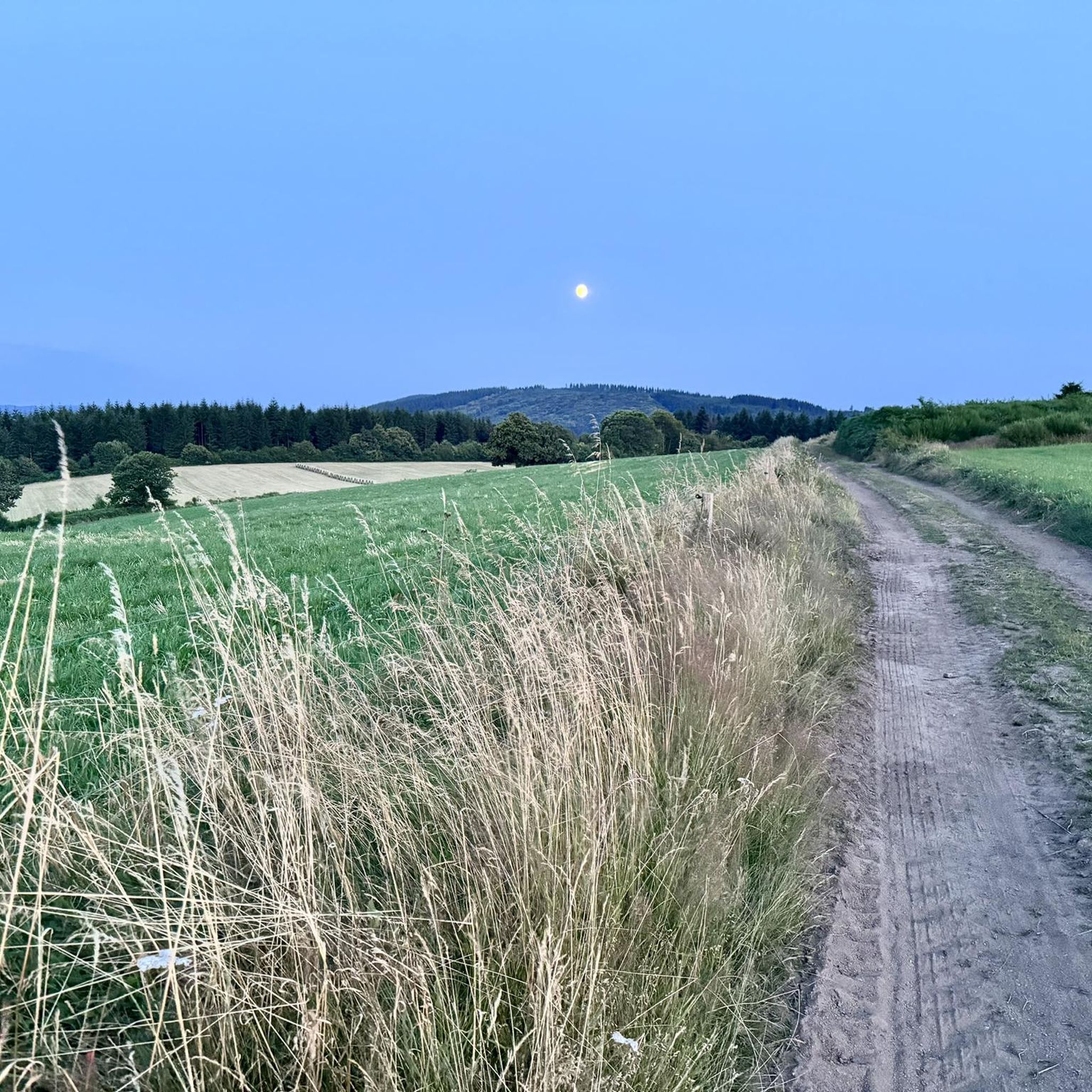
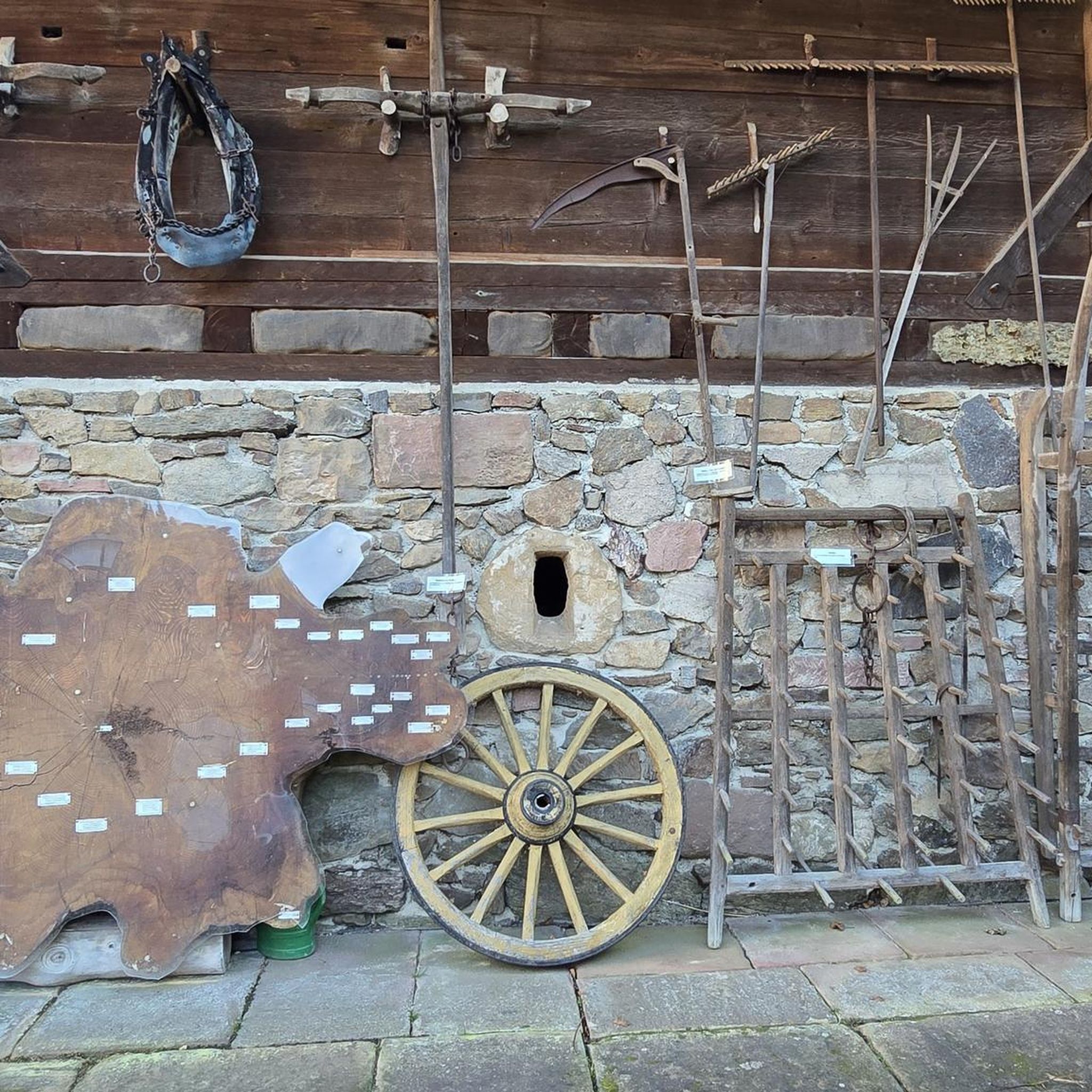
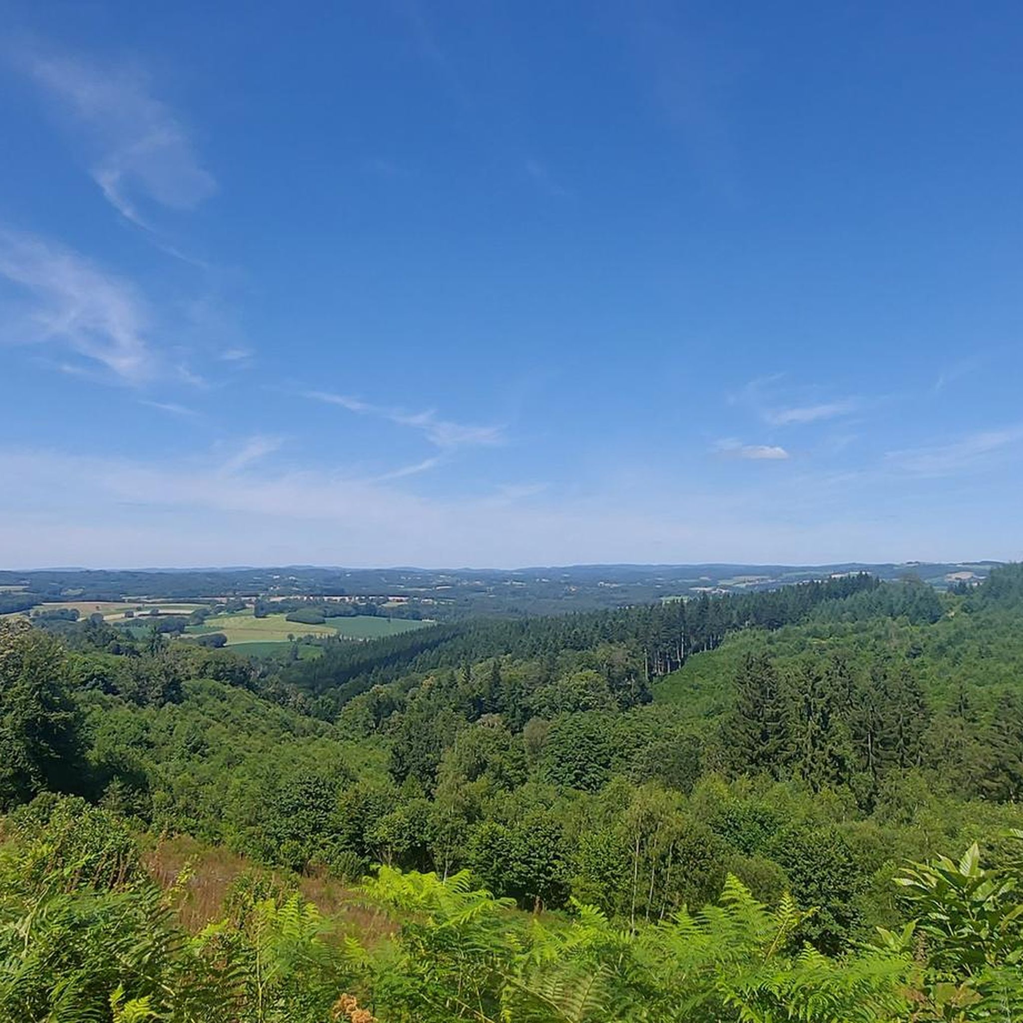
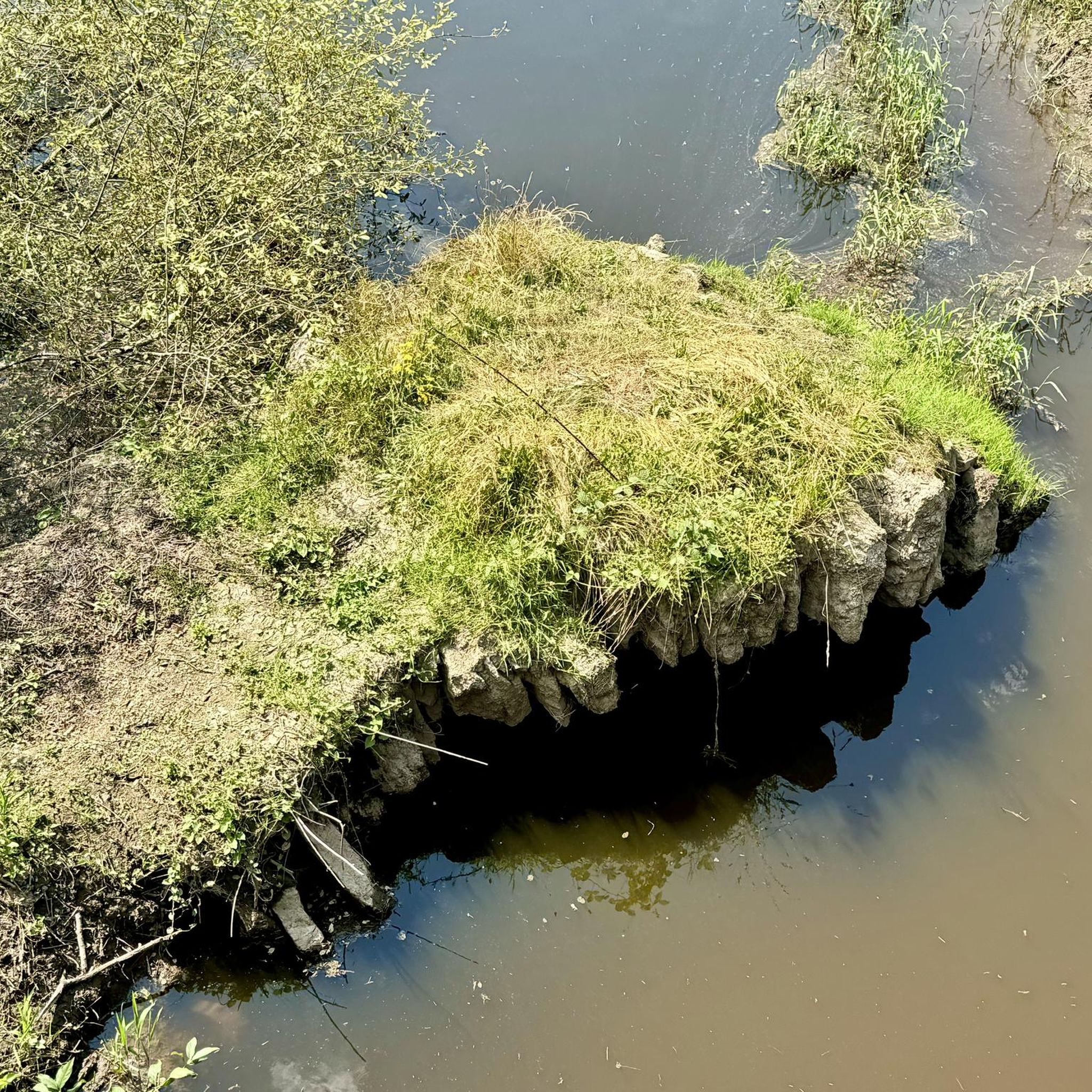
Tips from the Community

The cottages are clean and well-equipped. I really appreciated their attic aspect, although you have to climb a bit, but for a teenager it's great, the rooms upstairs under the roof ;)
0
0

I went to the indicated point and it doesn't look like the photo of the tower and the church, and there are actually fewer houses in reality than in the photos. I suspect the location is misplaced on the map.
0
0

The waterfalls extend over several stages. In the upper part of the valley, the mighty boulders of the 'Champs de Pierres' are also worth noting.
1
0
Pretty flowered bridge with geraniums crossing the Thaurion, a river with copper-brown water.
0
0
(Sandy) beach supervised in summer
0
0
(Sandy) beach supervised in summer.
0
0


Great and interesting stone formations
1
0
Frequently Asked Questions
How many road cycling routes are available around Saint-Dizier-Leyrenne?
There are over 190 road cycling routes in the Saint-Dizier-Leyrenne area, offering a wide range of options for different skill levels. You'll find routes varying from easy to difficult, traversing the region's diverse landscapes.
What kind of terrain can I expect when road cycling in Saint-Dizier-Leyrenne?
The region around Saint-Dizier-Leyrenne is characterized by a mix of mid-mountain terrain, rolling hills, and scenic valleys. Cyclists will encounter varied elevation profiles, with average altitudes around 430 meters and some hills exceeding 500 meters, providing both tranquil rides and more demanding climbs.
What is the best time of year for road cycling in Saint-Dizier-Leyrenne?
While specific weather conditions vary, the spring and autumn months generally offer pleasant temperatures and beautiful scenery for road cycling in Saint-Dizier-Leyrenne. Summers can also be excellent, though it's always wise to check local forecasts.
Are there routes suitable for beginners or those looking for an easier ride?
Yes, Saint-Dizier-Leyrenne offers several easier road cycling routes. There are 9 routes classified as 'easy' and 130 as 'moderate', providing plenty of options for those seeking less strenuous rides or just starting out. These routes often feature gentler gradients and picturesque scenery.
Are there challenging routes for experienced road cyclists?
Absolutely. For experienced road cyclists seeking a challenge, there are 58 routes classified as 'difficult' around Saint-Dizier-Leyrenne. These routes often include significant elevation gains and longer distances, such as the Vassivière Dam – Lake Vassivière loop from Bosmoreau-les-Mines, which covers nearly 70 km with over 1000 meters of ascent.
What natural features or landmarks can I see along the road cycling routes?
Many routes pass by notable natural features. You might cycle near the Thaurion River, the unique Châtelus Bridge, or the tranquil Châtelus-le-Marcheix Beach. The region is also close to larger water bodies like Lake Vassivière and Lac de Saint-Pardoux, offering scenic views.
Are there any historical sites to explore near the cycling routes?
Yes, the area is rich in history. You can find routes that pass by or near the historic town of Bénévent-l'Abbaye, known for its abbey, or the medieval town of Bourganeuf with its Zizim Tower. The Lantern of the Dead of Saint-Goussaud is another intriguing historical landmark.
Can I find routes that pass by waterfalls or significant water bodies?
Yes, several routes offer views of water features. For instance, the The Augerolles Waterfalls – Bourganeuf loop from Bosmoreau-les-Mines specifically highlights waterfalls. Additionally, routes often traverse the Thaurion valley and are within reach of Lake Vassivière and Lac de Saint-Pardoux, which are popular leisure destinations.
Are there circular road cycling routes available?
Many of the road cycling routes in Saint-Dizier-Leyrenne are designed as loops, allowing you to start and finish at the same point. Examples include the View of the Lake – Bénévent-l'Abbaye loop from Masbaraud-Mérignat and the Bénévent-l'Abbaye – Dolmen du Four des Fades loop.
Is parking available for cyclists in Saint-Dizier-Leyrenne?
While specific parking facilities for cyclists are not explicitly detailed, Saint-Dizier-Leyrenne and its surrounding villages typically offer public parking areas. It's advisable to check local signage upon arrival or consult maps for designated parking spots near route starting points.
What do other cyclists say about road cycling in this region?
The road cycling experience in Saint-Dizier-Leyrenne is highly rated by the komoot community, with an average score of 4.75 stars from over 7 reviews. Cyclists often praise the varied terrain, scenic rural landscapes, and the mix of tranquil roads with challenging climbs.
Are there family-friendly road cycling options in the area?
While many routes involve rolling hills, there are easier and moderate options that can be suitable for families, especially those with some cycling experience. The communal water feature in Saint-Dizier-Leyrenne also offers a flat 2.5-kilometer loop, perfect for a relaxed family ride.
Most popular routes around Saint-Dizier-Leyrenne
Most popular attractions around Saint-Dizier-Leyrenne

Get inspired with the komoot mobile app


Explore more
Browse the best Road cycling routes in other regions.
