The best walks and hikes around Insmingen
4.5
(508)
1,899
hikers
88
hikes
Hiking around Insmingen, a commune in the Moselle department of France, offers access to varied terrain within the Grand Est region. The area is characterized by its moderate altitude, ranging from 215m to 273m, and the presence of the Albe River. Insmingen serves as a gateway to the expansive Lorraine Regional Natural Park, known for its deciduous forests, wooded hills, and numerous rivers and ponds. This natural setting provides a diverse environment for outdoor activities.
Best hiking trails around Insmingen
…Last updated: July 2, 2026
4.8
(90)
287
hikers
8.26km
02:07
40m
40m
Moderate hike. Good fitness required. Easily-accessible paths. Suitable for all skill levels.
4.6
(44)
209
hikers
7.81km
02:01
40m
40m
Moderate hike. Good fitness required. Easily-accessible paths. Suitable for all skill levels.

Sign up for free
4.8
(5)
18
hikers
10.9km
02:53
100m
100m
Moderate hike. Good fitness required. Easily-accessible paths. Suitable for all skill levels.
4.0
(1)
16
hikers
9.01km
02:21
60m
60m
Moderate hike. Good fitness required. Easily-accessible paths. Suitable for all skill levels.
4.8
(5)
17
hikers
13.0km
03:26
120m
120m
Moderate hike. Good fitness required. Easily-accessible paths. Suitable for all skill levels.
Get access to more routes and recommendations from other explorers.
Sign up for free
Already have an account?
Our route recommendations are based on thousands of hikes, rides, and runs completed by other people on komoot.
Start today with a free account
Your next adventure awaits.
Login or Signup
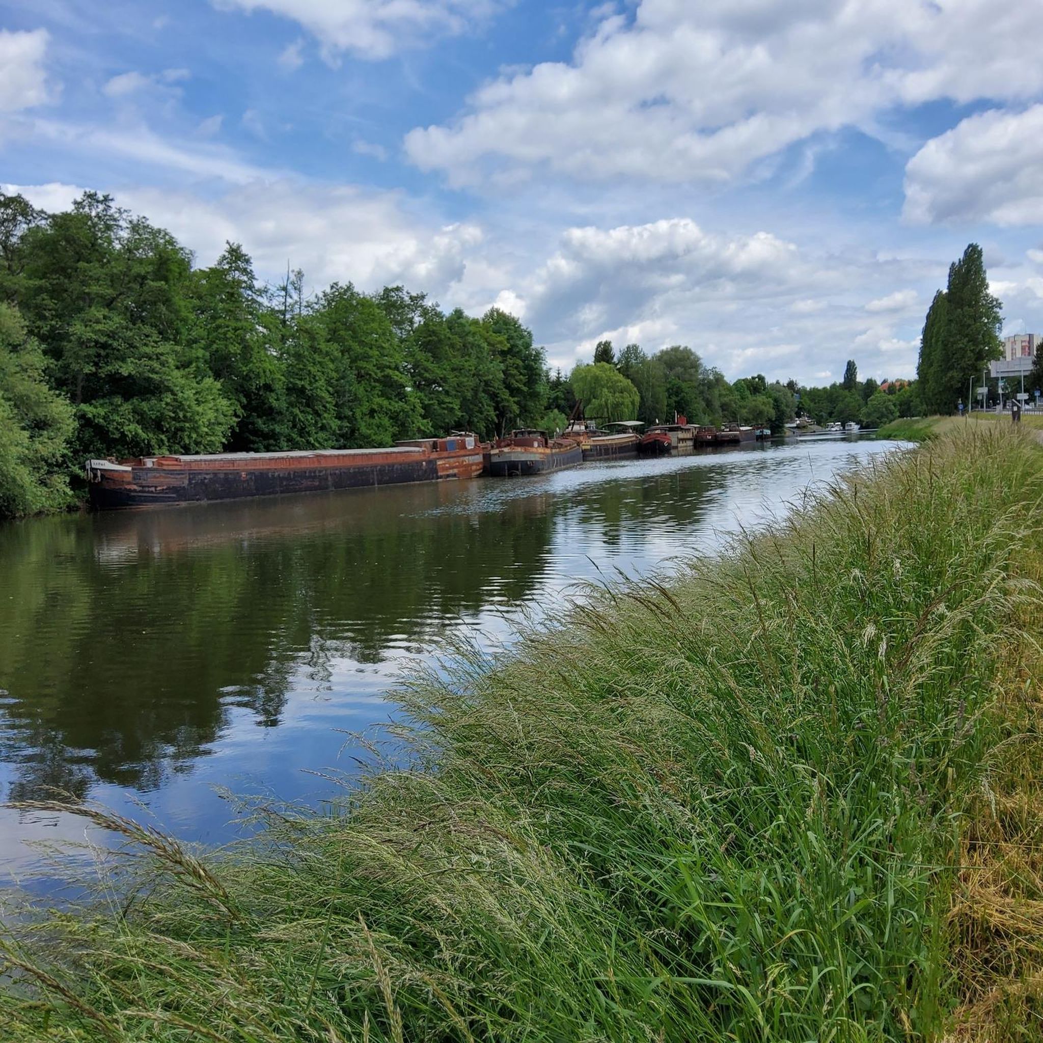
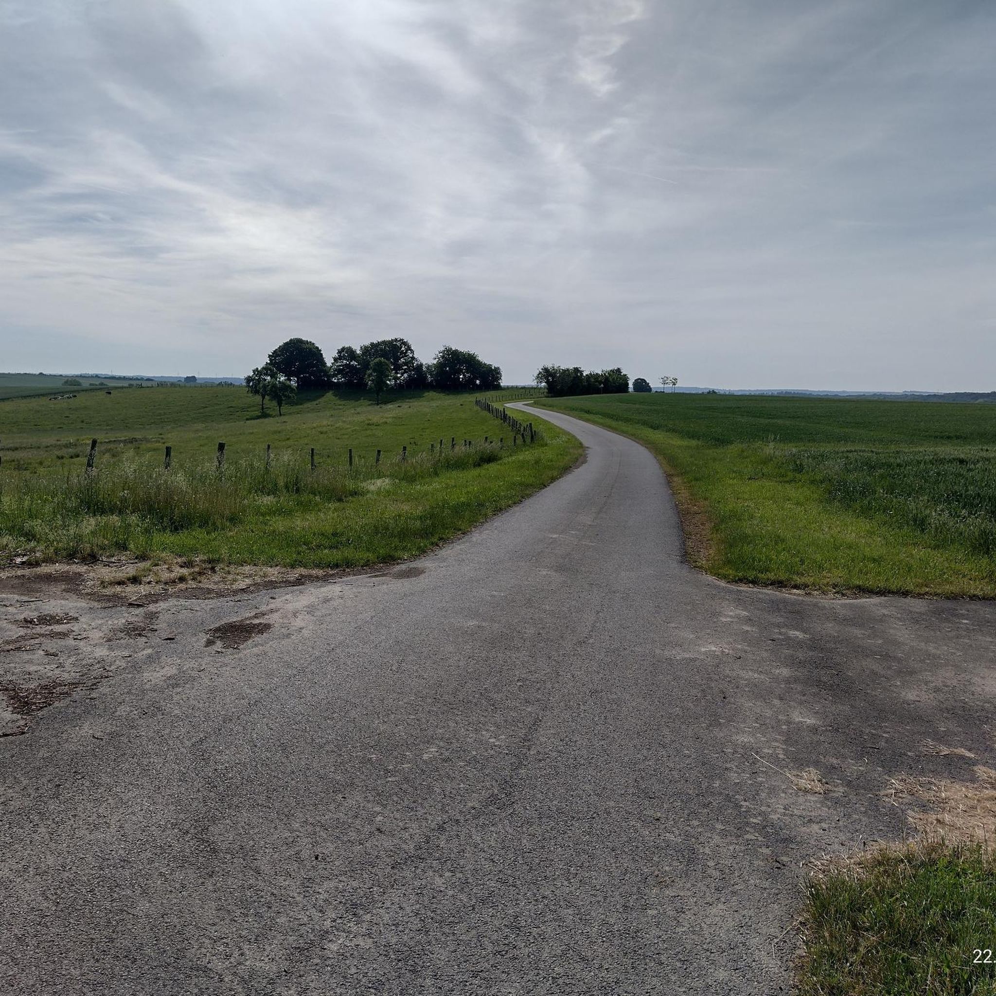
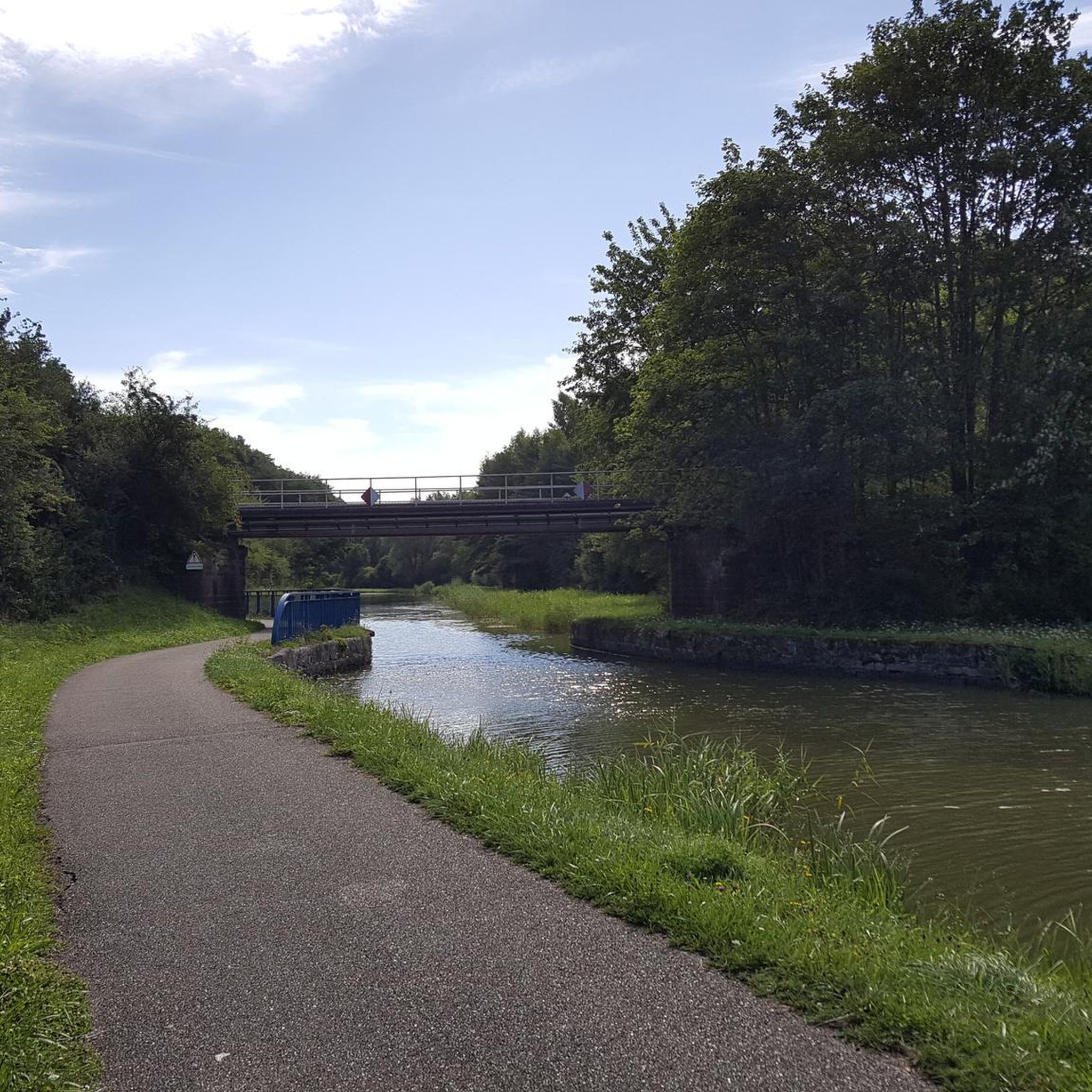

Tips from the Community

The Marais de Rémering-lès-Puttelange pond is renowned for its natural setting and attracts visitors year-round. This pond is part of the "Aquatic Maginot Line," a defensive flooding system consisting of six ponds, from Hoste to Holving, created in 1934. In just a few years, this military pond has been transformed into a recreational area.
0
0

Hirbach Pond blends history and nature. A remnant of the former aquatic Maginot Line, it is now a popular spot for outdoor recreation. Its municipal campsite, open from April to October, offers an ideal setting for a waterfront stay.
0
0

Beautiful hike combining villages, forests and ponds on mostly tarmacked or gravel paths.
0
0

Beautiful little metal figures along the roadside.
1
0


The beauty and strength of nature
0
0

"This pedunculate oak was named after Joseph Ehrlich, who loves the forest, where he has been working for more than 40 years. In 1993, the oak had a height of 26m and a circumference of 333cm. Age was estimated at 250 years in 1993. "
0
0
Frequently Asked Questions
How many hiking trails are available around Insmingen?
There are over 80 hiking trails around Insmingen, offering a variety of options for different skill levels. The komoot community has explored more than 1,600 routes in the area.
Are there easy hiking trails suitable for beginners or families in Insmingen?
Yes, Insmingen offers over 35 easy hiking trails. A great option for a relaxed outing is the Fishing spots at the pond – Marsh Pond loop from Hilsprich, an easy 4.8-mile (7.7 km) path that explores tranquil areas around local ponds and marshland.
What kind of terrain can I expect on hikes around Insmingen?
The terrain around Insmingen is characterized by moderate altitudes, ranging from 215m to 273m, and the presence of the Albe River. You'll find deciduous forests, rolling wooded hills, and a network of rivers and ponds, especially as you venture towards the nearby Lorraine Regional Natural Park.
Are there any challenging hikes near Insmingen?
While most routes are easy to moderate, there are 4 more challenging hikes available. These typically feature greater elevation changes and longer distances, providing a more strenuous experience for experienced hikers.
What can I see along the hiking trails around Insmingen?
Many trails offer natural beauty, particularly around the numerous ponds and forests. You might encounter highlights such as the Grand Pond of Mittersheim or the Welschhof Pond. The local Sainte-Anne loop in Insming itself also incorporates historical and religious elements.
Are there circular hiking routes available in the Insmingen area?
Yes, many of the trails around Insmingen are circular routes, allowing you to start and end at the same point. For example, the Hirbacher Pond – Honnert Oak Tree loop from Hilsprich is a popular moderate circular trail traversing natural and forested environments.
Can I bring my dog on the hiking trails around Insmingen?
The natural environment of Insmingen and the Lorraine Regional Natural Park is generally welcoming to dogs. However, it's always recommended to keep your dog on a leash, especially in areas with wildlife or near livestock, and to check specific trail regulations before you go.
What is the best time of year to go hiking in Insmingen?
The region's deciduous forests are particularly beautiful in spring with fresh greenery and in autumn with vibrant fall colors. Summer offers pleasant conditions for exploring the ponds and shaded woodlands. Winter hiking is also possible, though some trails might be muddy or require appropriate gear.
What do other hikers enjoy most about hiking in Insmingen?
The area is highly rated by the komoot community, with an average score of 4.6 stars from over 400 reviews. Hikers often praise the tranquil natural settings, the variety of trails around ponds and through forests, and the well-maintained paths.
Are there opportunities for wildlife spotting during hikes?
Yes, the proximity to the Lorraine Regional Natural Park means the area is rich in wildlife. You might spot deer, roe deer, foxes, and wild boars. The park is also a crucial area for bird conservation, especially around its numerous ponds and wetlands.
How long do hikes around Insmingen typically take?
Hikes vary in length and duration. For instance, the Orientation Table Viewpoint loop from Montdidier is about 6.8 miles (10.9 km) and typically takes around 2 hours 53 minutes. Easier, shorter routes can be completed in under two hours.
Is there public transport access to hiking trailheads near Insmingen?
Insming is a small commune, and while local bus services might connect to nearby towns, direct public transport to specific trailheads can be limited. It's often advisable to use a car to reach the starting points of many hikes, especially those deeper within the Lorraine Regional Natural Park.
Where can I find parking for hiking trails in the Insmingen area?
Parking is generally available in the villages and towns near trailheads, such as Hilsprich or Montdidier, which serve as starting points for many popular routes. Look for designated parking areas or roadside parking where permitted.
What are some other notable routes in the region?
Beyond the most popular trails, you can explore routes like the Farms loop from Le Val-de-Guéblange, a moderate 9 km trail, or the longer Metal art – Orientation Table Viewpoint loop from Léning, which covers nearly 13 km.
Most popular routes around Insmingen
Most popular attractions around Insmingen

Get inspired with the komoot mobile app


Explore more
Browse the best Hikes in other regions.
