The best cycling routes around Vallière
4.5
(54)
418
riders
61
rides
Touring cycling routes around Vallière are situated within the Millevaches natural park in the Creuse department, offering a diverse landscape for cyclists. The region features a mix of dense woodlands, open plains, and varied terrain with elevations ranging from 494m to 708m. This environment provides routes that traverse forests and open countryside, often with engaging elevation changes. Nearby, Lake Vassivière offers additional scenic points for longer rides.
Best touring cycling routes around Vallière
- The most popular touring cycling route is…
Last updated: June 27, 2026
4.0
(1)
3
riders
78.1km
05:09
1,170m
1,170m
This difficult 48.5-mile touring cycling loop in Millevaches Regional Natural Park features panoramic views, historic sites, and the Source
4.7
(15)
97
riders
74.9km
04:50
1,000m
1,000m
Hard bike ride. Very good fitness required. Mostly paved surfaces. Suitable for all skill levels.

Sign up for free
4.5
(2)
23
riders
60.2km
03:55
770m
770m
Hard bike ride. Very good fitness required. Mostly paved surfaces. Suitable for all skill levels.
5.0
(1)
21
riders
117km
07:45
1,740m
1,740m
Hard bike ride. Very good fitness required. Mostly paved surfaces. Suitable for all skill levels.
4.3
(3)
13
riders
19.9km
01:17
240m
250m
Moderate bike ride. Good fitness required. Mostly paved surfaces. Suitable for all skill levels.
Get access to more routes and recommendations from other explorers.
Sign up for free
Already have an account?
Our route recommendations are based on thousands of hikes, rides, and runs completed by other people on komoot.
Start today with a free account
Your next adventure awaits.
Login or Signup
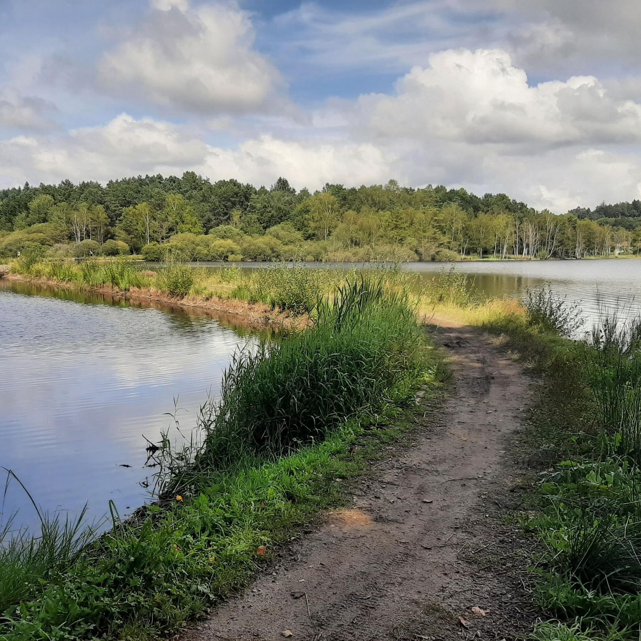
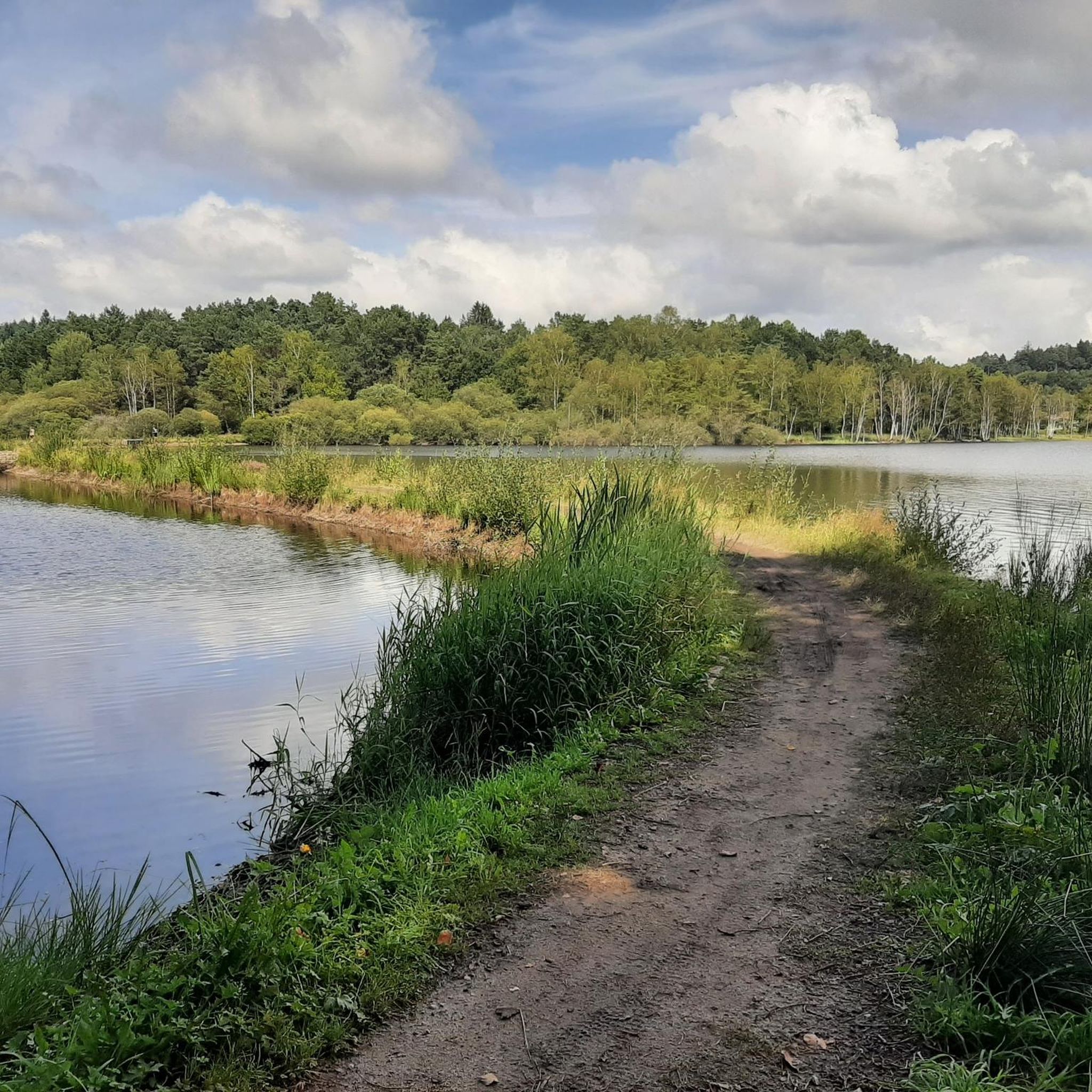
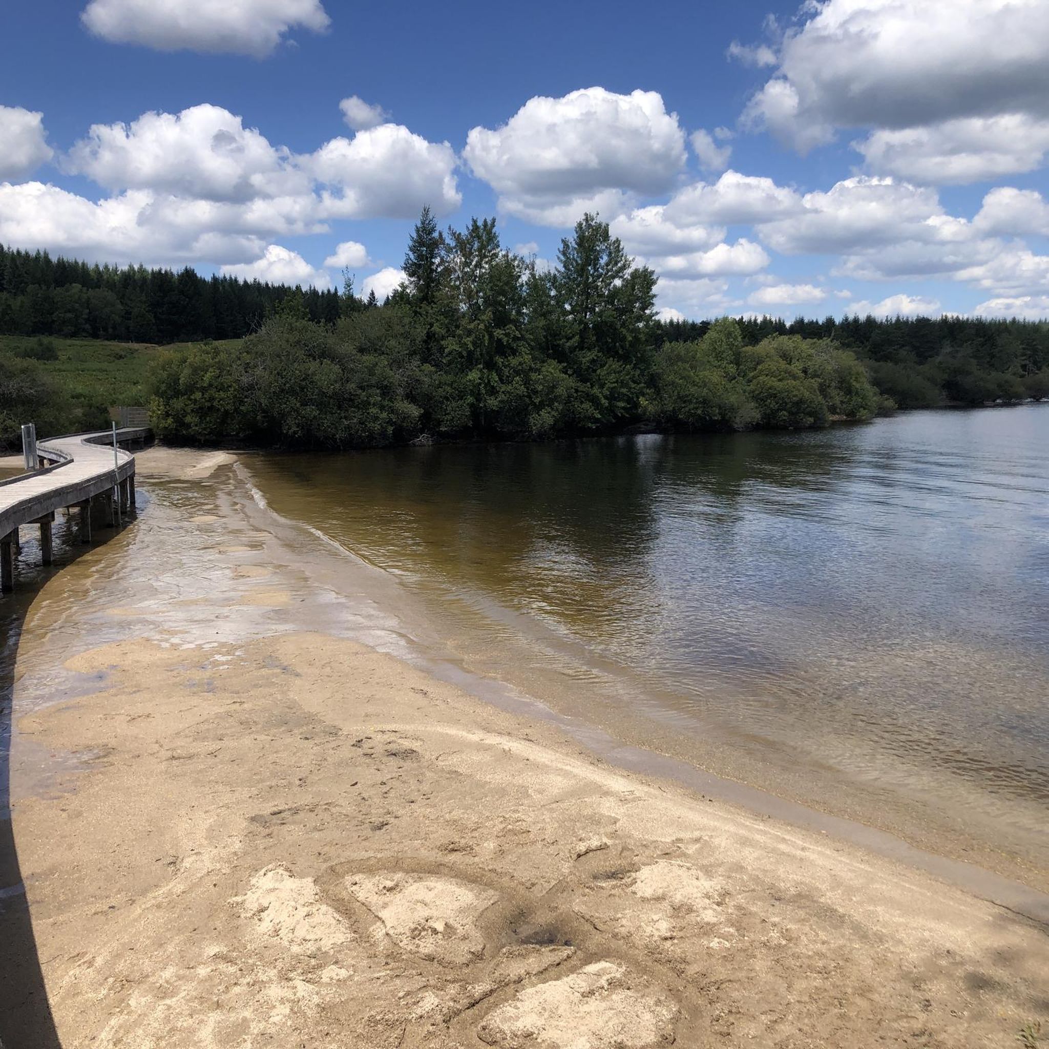

Tips from the Community

Felletin station - TER line unfortunately closed in September 2025. A café takes over the station square and an original talking telephone booth in the front
0
0

Super delicious ice cream and fresh crêpes
0
0

after 90km on the Tour de la Creuse a swim in the lake in the evening at the campsite is a plus
0
0

Long and pretty footbridge to span the lake.
0
0
footbridge to span La Maulde. The place is magnificent.
0
0

Superb site, one of the largest artificial lakes in France
0
0

Royère is located on the Millevaches plateau, between Lake Vassivière and Lake Lavaud Gelade. The town is pleasant and has shops and accommodation.
1
0

Bourganeuf is a small medieval town created by the Hospitallers. It is also the third city in France to have seen the appearance of electricity, hence its nickname the city of lights. The town even houses an electrification museum, in addition to its castle, its church and its characteristic Zizim tower.
0
0
Frequently Asked Questions
How many touring cycling routes are available around Vallière?
There are over 50 touring cycling routes in the Vallière area, catering to various skill levels. While most are moderate to difficult, they offer diverse landscapes for exploration.
What kind of terrain can I expect on touring cycling routes in Vallière?
The touring cycling routes around Vallière, situated within the Millevaches natural park in the Creuse department, feature a diverse landscape. You can expect a mix of dense woodlands, open plains, and varied terrain with elevations ranging from 494m to 708m. This environment provides routes that traverse forests and open countryside, often with engaging elevation changes.
Are there any circular touring cycling routes in the Vallière area?
Yes, there are several circular touring cycling routes. For instance, the difficult route Lake Vassivière – Terrade Bridge loop from Vallière circles Lake Vassivière, offering scenic views. Another option is the moderate Roby bridge – Terrade Bridge loop from Felletin, which leads through the local countryside.
Are there options for less experienced touring cyclists in Vallière?
While many routes in Vallière are rated moderate to difficult, there are options for those seeking a less strenuous ride. The Château de Blessac – Terrade Bridge loop from Blessac is a moderate 14.9 km (9.3 miles) route that can be completed in under 1.5 hours, offering a good option for a shorter, less challenging experience.
What natural attractions can I see along the touring cycling routes near Vallière?
Many routes will take you past beautiful natural features. You can cycle around Lake Vassivière, which is a prominent feature in the region, or cross the Terrade Bridge and Roby bridge. The area is also known for its woods and plains, rich with wildlife and flora.
Are there any historical or cultural landmarks accessible by touring bike in the Vallière region?
While the immediate Vallière area (Creuse) is more focused on natural beauty, you might encounter local churches like the Church of La Nouaille. For a significant cultural experience, the town of Aubusson, known as the Tapestry Capital, is also within reach and offers a unique cultural stop.
What do other touring cyclists say about the routes in Vallière?
The touring cycling routes in Vallière are highly rated by the komoot community, with an average score of 4.6 stars from over 50 reviews. More than 400 touring cyclists have used komoot to explore Vallière's varied terrain, often praising the diverse landscapes of dense woodlands and open plains.
Is Vallière suitable for family touring cycling trips?
The Vallière region offers a mix of terrain. While some routes feature significant elevation changes and are rated difficult, there are also moderate options like the Château de Blessac – Terrade Bridge loop from Blessac that could be suitable for families looking for shorter, less intense rides. It's best to check the difficulty and length of individual routes to match your family's ability.
What is the best time of year for touring cycling in Vallière?
The Creuse department, where Vallière is located, offers beautiful scenery throughout the warmer months. Spring and autumn generally provide pleasant temperatures and vibrant landscapes, making them ideal for touring cycling. Summer can also be enjoyable, especially around Lake Vassivière, but be prepared for potentially warmer weather.
Can I find routes that feature Lake Vassivière?
Absolutely. Lake Vassivière is a central feature for many touring cycling routes in the area. A popular option is the difficult Lake Vassivière – Terrade Bridge loop from Vallière, which offers extensive views of the lake and its surroundings. Another challenging route is the Lake Vassivière – Roby bridge loop from Chavanat.
Are there any routes that explore the sources of the Creuse river?
Yes, one of the most popular touring cycling routes in the area is By the Sources of the Creuse. This difficult 125.7 km (78.1 miles) trail features significant elevation gain through varied landscapes, allowing you to explore the origins of the river.
What are the elevation changes like on touring cycling routes around Vallière?
The touring cycling routes around Vallière often feature engaging elevation changes. The region's altitude ranges from 494m to 708m, meaning you'll encounter a mix of ascents and descents. For example, the route By the Sources of the Creuse has over 1100 meters of elevation gain, indicating a challenging ride.
Where can I find parking for touring cycling routes in Vallière?
While specific parking areas for each route are not detailed, Vallière and surrounding villages like Felletin and Blessac, which serve as starting points for many routes, typically offer public parking facilities. It's advisable to check local signage upon arrival or use navigation apps to locate convenient parking near your chosen starting point.
Most popular attractions around Vallière

Get inspired with the komoot mobile app


Explore more
Browse the best Cycling routes in other regions.
