The best running trails around Groß-Moyeuvre
4.3
(80)
2,942
runners
17
runs
Jogging around Groß-Moyeuvre offers diverse natural landscapes, including river paths, extensive forest areas, and varied hillsides. The region is situated at the confluence of the Orne and Conroy rivers, providing scenic routes along waterways. Surrounding forests, such as the Moyeuvre National Forest, cover approximately 394 hectares, offering varied terrain and shade. The presence of high plateaus like Tréhémont and Froidcul also provides opportunities for runs with elevation changes and panoramic views.
Best jogging routes around Groß-Moyeuvre
- The most popular jogging route is Forest Trail – Muddy Path in the Forest loop from Moyeuvre-Grande, a 9.1 miles (14.6 km) trail that takes 1 hour 32 minutes to complete. This route leads through dense forest, offering a natural running experience.
- Another top favourite among local runners is Climb to Tivoli – Orne River loop from Moyeuvre-Grande, a difficult 11.7 miles (18.8 km) path. This route features significant elevation gain and follows the Orne River.
- Local runners also love the Forest Trail – The hunters' hut loop from Froidcul, a 12.2 miles (19.6 km) trail leading through forest, often completed in about 2 hours 19 minutes.
- Jogging around Groß-Moyeuvre is defined by riverside paths, extensive forest trails, and varied hillsides. The network offers options for easy, moderate, and difficult runs, catering to different ability levels.
- The routes in Groß-Moyeuvre are highly rated by the komoot community with an average score of 4.3 stars from over 50 reviews. More than 3000 runners have used komoot to explore Groß-Moyeuvre's varied terrain.
Last updated: October 13, 2026
81
runners
9.82km
01:01
20m
20m
Moderate run. Good fitness required. Mostly paved surfaces. Suitable for all skill levels.
19
runners
17.9km
01:54
160m
160m
Hard run. Very good fitness required. Mostly paved surfaces. Suitable for all skill levels.

21
runners
14.6km
01:33
70m
70m
Moderate run. Good fitness required. Mostly paved surfaces. Suitable for all skill levels.
11
runners
18.8km
02:01
210m
210m
Hard run. Very good fitness required. Mostly paved surfaces. Suitable for all skill levels.
10
runners
19.9km
02:21
160m
160m
Hard run. Very good fitness required. Mostly paved surfaces. Suitable for all skill levels.
Get access to more routes and recommendations from other explorers.
Already have an account?
Our route recommendations are based on thousands of hikes, rides, and runs completed by other people on komoot.
Start today with a free account
Your next adventure awaits.

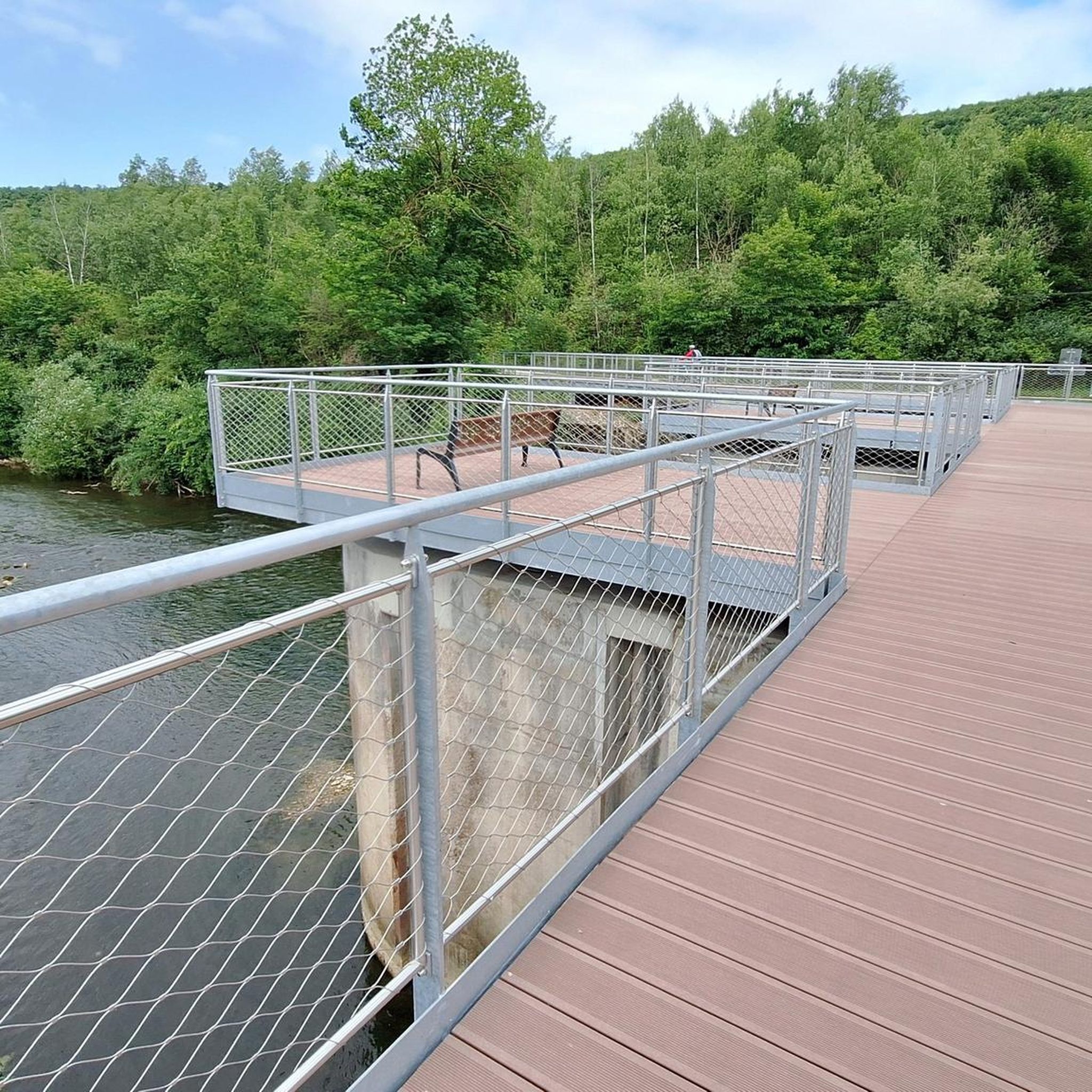
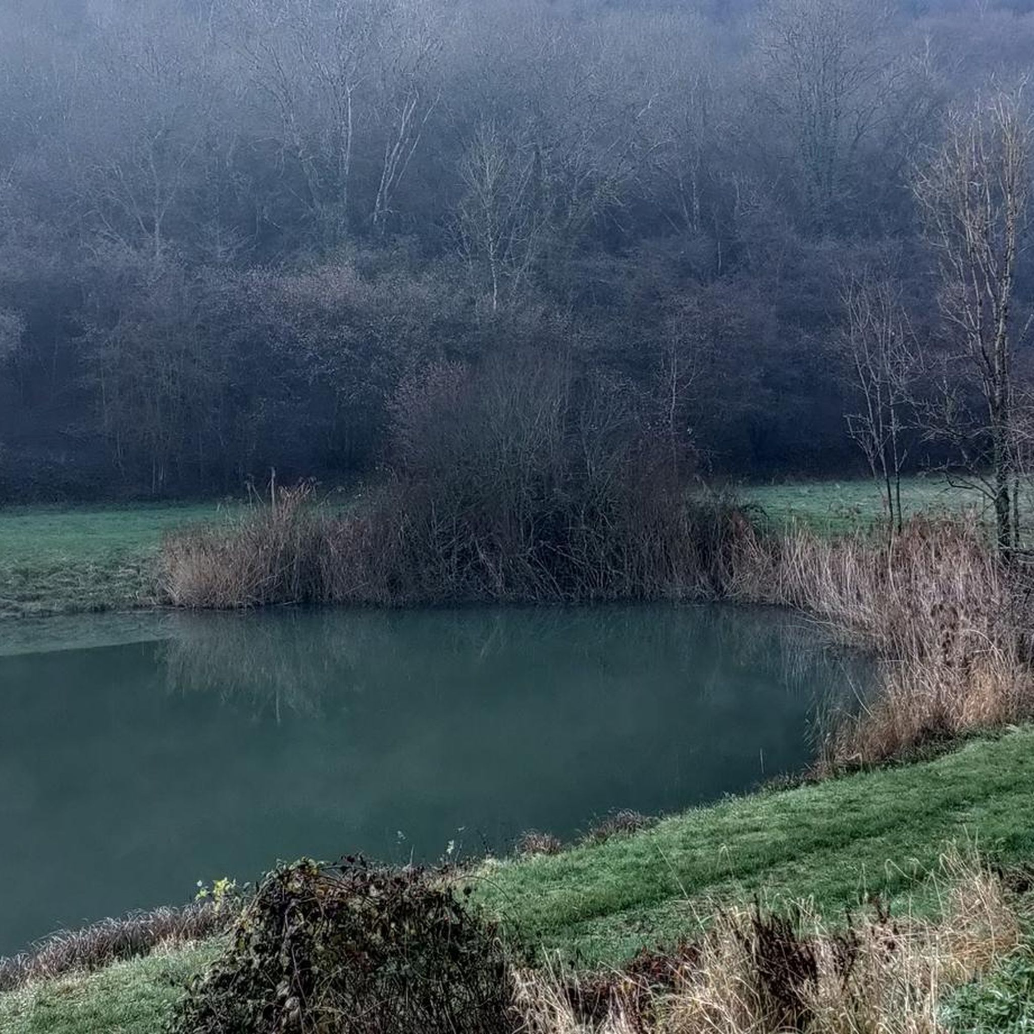
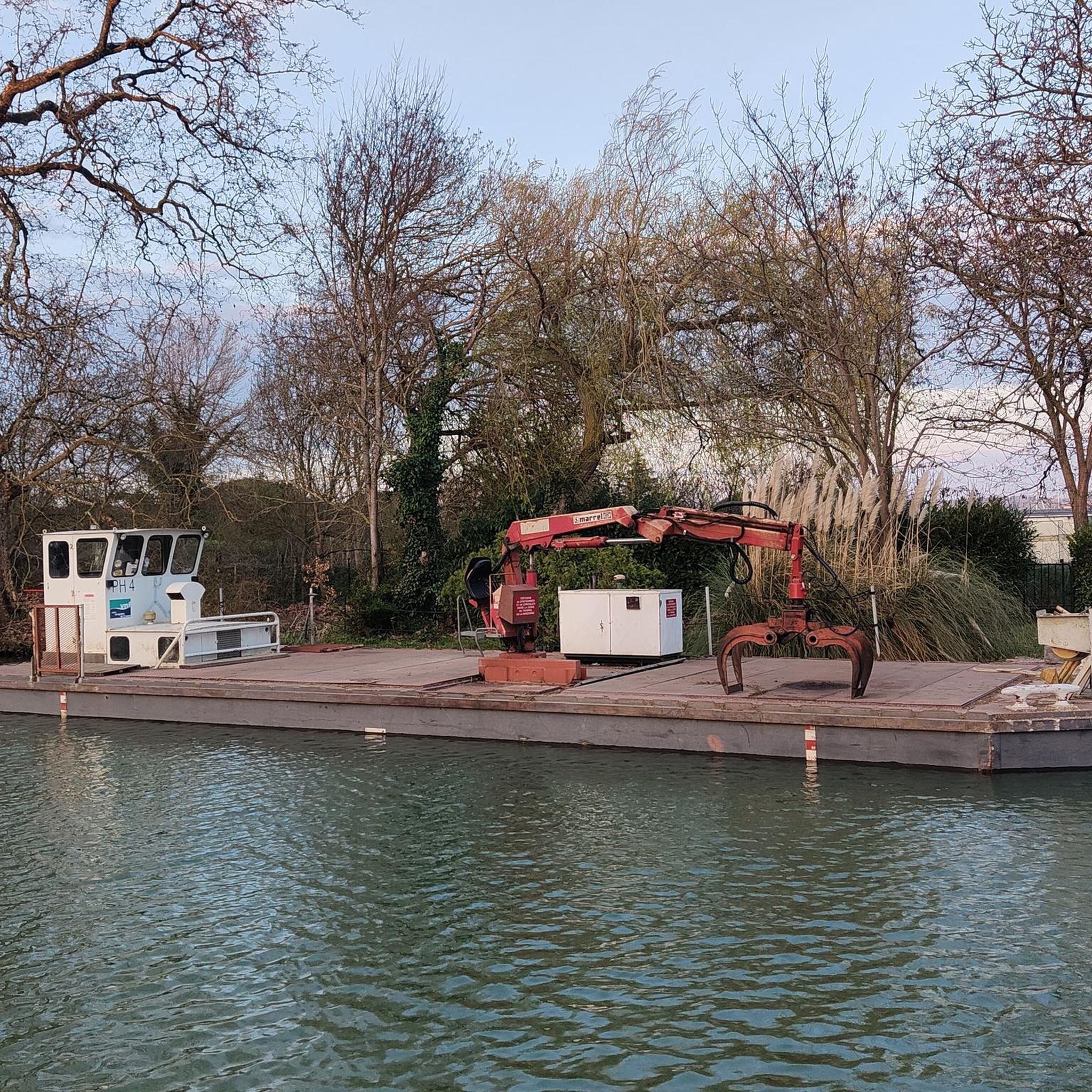

Tips from the Community


🌾 **Étang du Tivoli – Nature Break near Volmerange-les-Mines (Wallingen)** The **Étang du Tivoli** is quietly located on the edge of **Volmerange-les-Mines** (German: **Wallingen**) – a small, natural pond surrounded by meadows, field paths, and sparsely scattered trees. 🐦 The spot is a popular stopover for walkers and cyclists, often visited by herons, ducks, and other waterfowl. A small bench invites you to rest with a view over the water. **Tip:** Ideal for a quiet break on a tour through the Lorraine border region – especially beautiful at sunrise or late evening light.
0
0

A tiny but perfectly formed pond. It is a pleasure to visit it and to walk there.
4
0
Frequently Asked Questions
How many running routes are available in Groß-Moyeuvre?
Groß-Moyeuvre offers a diverse selection of running routes, with over 10 trails available on komoot. These include options for various fitness levels, from easy riverside paths to more challenging forest and hillside runs.
Are there any easy jogging routes suitable for beginners in Groß-Moyeuvre?
Yes, Groß-Moyeuvre provides several easy running options. The region's river paths, particularly along the Orne and Conroy rivers, offer generally flatter terrain ideal for beginners. There are at least 2 easy routes listed on komoot.
Where can I find more challenging running trails around Groß-Moyeuvre?
For a more demanding run, consider routes that incorporate the region's hillsides and extensive forest areas. A particularly challenging option is the Climb to Tivoli – Orne River loop from Moyeuvre-Grande, which is 11.7 miles (18.8 km) long and features significant elevation gain.
Are there any long-distance running trails in the Groß-Moyeuvre area?
Yes, for those looking for longer runs, Groß-Moyeuvre has several options. The Climb to Tivoli – Orne River loop from Moyeuvre-Grande is a substantial 11.7 miles (18.8 km) route. Another great choice is the Forest Trail – Muddy Path in the Forest loop from Moyeuvre-Grande, which covers 9.1 miles (14.6 km) through dense forest.
What kind of natural features or landmarks can I expect to see while jogging in Groß-Moyeuvre?
The region is rich in natural beauty. You can enjoy scenic routes along the Orne and Conroy rivers, explore vast forest areas, and encounter hillsides offering varied terrain. A notable attraction is the Plan d'Eau de la Sangsue, which features a 2.5 km circuit perfect for running, and provides access to surrounding greenways and forest trails. The Tivoli Pond is also a beautiful spot.
Are there any circular running routes available in Groß-Moyeuvre?
Many of the running routes in Groß-Moyeuvre are designed as loops, offering convenient circular paths. Examples include the popular Forest Trail – Muddy Path in the Forest loop from Moyeuvre-Grande and the Forest Trail – Muddy Path in the Forest loop from Froidcul.
What do other runners enjoy most about jogging in Groß-Moyeuvre?
The running routes in Groß-Moyeuvre are highly rated by the komoot community, with an average score of 4.3 stars from over 50 reviews. Runners often praise the diverse natural landscapes, including the peaceful forest trails and picturesque riverside paths, which offer a refreshing outdoor experience.
Are there any family-friendly running routes in the area?
While specific 'family-friendly' routes aren't explicitly categorized, the region's flatter river paths and the 2.5 km circuit around the Plan d'Eau de la Sangsue are generally suitable for families looking for an easier run or walk together. The extensive green spaces and accessible trails make it a good option for outdoor activities.
Can I bring my dog on the jogging paths in Groß-Moyeuvre?
Many of the natural trails and forest paths in Groß-Moyeuvre are suitable for running with dogs, provided they are kept under control, typically on a leash, and you adhere to local regulations regarding pets in natural areas. The expansive forest areas offer plenty of space for you and your canine companion.
Are there any running routes that follow canals or waterways?
Yes, Groß-Moyeuvre is situated at the confluence of the Orne and Conroy rivers, providing numerous scenic routes along waterways. The Véloroute Charles le Téméraire, a cycling path along the Moselle Canal, is also well-suited for runners, offering a safe and picturesque option. You can find sections of this route, like the Charles le Téméraire cycle route, which are great for running.
Are there any running routes near Moyeuvre-Petite?
Yes, there's a dedicated running route starting from Moyeuvre-Petite. The Running loop from Moyeuvre-Petite is a moderate 8.1 miles (12.9 km) trail that offers a great way to explore the surrounding area.
Most popular routes around Groß-Moyeuvre
Most popular attractions around Groß-Moyeuvre

Get inspired with the komoot mobile app


Explore more
Browse the best Running Trails & Routes in other regions.
