The best walks and hikes around Villard-Léger
4.6
(292)
3,567
hikers
122
hikes
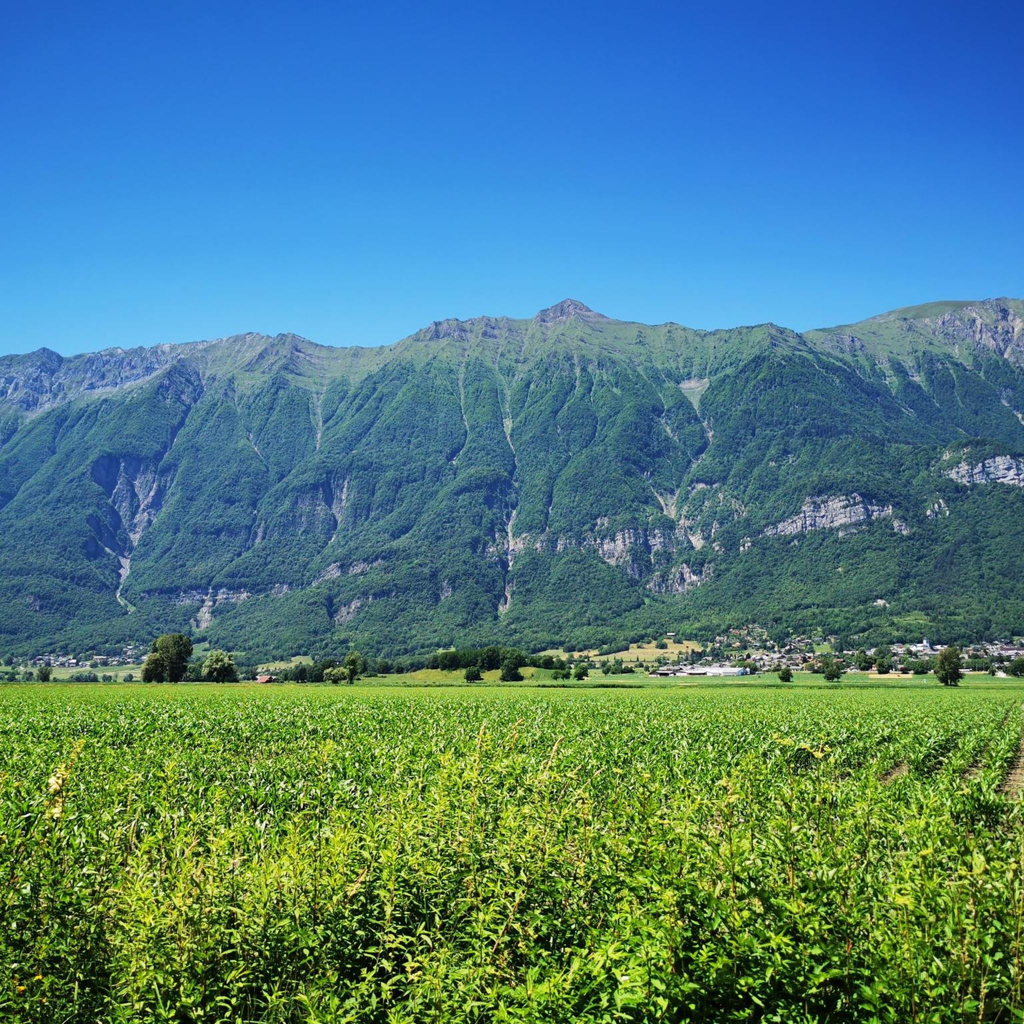
Hiking around Villard-Léger, located in the Savoie region of France, offers diverse trails through a landscape characterized by forests and mountain pastures. The area features varied terrain with options ranging from easy walks to more challenging routes. Hikers can experience panoramic views, including potential glimpses of Lac du Bourget and Mont-Blanc on clear days, alongside historical points of interest.
Best hiking trails around Villard-Léger
- The most popular hiking route is Col de Champlaurent loop from Champlaurent, an easy 3.4…
Last updated: July 1, 2026
4.4
(12)
116
hikers
7.31km
02:57
410m
420m
Moderate hike. Good fitness required. Mostly accessible paths. Sure-footedness required.
5.0
(2)
27
hikers
11.9km
04:51
800m
800m
Moderate hike. Good fitness required. Mostly accessible paths. Sure-footedness required.

Sign up for free
4.8
(5)
35
hikers
10.8km
03:05
260m
260m
Moderate hike. Good fitness required. Easily-accessible paths. Suitable for all skill levels.
5.0
(1)
22
hikers
5.54km
01:43
210m
210m
Easy hike. Great for any fitness level. Easily-accessible paths. Suitable for all skill levels.
5.0
(1)
27
hikers
2.29km
00:35
10m
10m
Easy hike. Great for any fitness level. Easily-accessible paths. Suitable for all skill levels.
Get access to more routes and recommendations from other explorers.
Sign up for free
Already have an account?
Our route recommendations are based on thousands of hikes, rides, and runs completed by other people on komoot.
Start today with a free account
Your next adventure awaits.
Login or Signup




Tips from the Community

A sustained climb from Chamoux; for those with the best tire equipment (minimum 25" 4 seasons), it's possible to climb all the way to the Fort itself!
0
0


magnificent view of the snow-capped mountains at the end of May
1
0


Large parts of the tour have very little traffic, so you can enjoy the beautiful nature even more.
1
0

Refuge three well renew
0
0


Col la Perche is located at an altitude of 1,986 meters, between Pointe de Rognier (2,341 meters) and Chapotet (2,083 meters).
0
0
Frequently Asked Questions
How many hiking trails are available around Villard-Léger?
There are over 100 hiking trails around Villard-Léger, offering a wide range of options for different preferences and fitness levels. The komoot community has explored 117 routes in total.
What kind of terrain can I expect on hikes around Villard-Léger?
The terrain around Villard-Léger is diverse, characterized by fragrant forests and sunny mountain pastures. Many routes offer panoramic views, including potential glimpses of Lac du Bourget, Aix-les-Bains, Chambéry, the Chartreuse, and even Mont-Blanc on clear days.
Are there hikes for all fitness levels in Villard-Léger?
Yes, Villard-Léger offers hikes for all fitness levels. You'll find 21 easy routes, 75 moderate trails, and 21 difficult options. Easy hikes are generally up to two hours with minimal elevation, while moderate and difficult routes require good to very good fitness and can involve significant elevation gains.
What natural features or landmarks can I see while hiking near Villard-Léger?
While hiking, you can discover several natural features and landmarks. Notable mountain passes include Col du Frêne (950 m) and Marocaz Pass. You might also encounter beautiful lakes like Lac de Sainte Hélène and Lac de la Thuile, or viewpoints such as Watch Rock.
Are there any historical sites to explore on the trails?
Yes, the area features historical points of interest. For example, the Col de Cochette (587 m) – Tower loop from Villard-d'Héry includes the Col de Cochette and a tower. The region also has sites like the Villard-Léger Mill and the Château de Montmayeur, which can be incorporated into hiking loops.
Are there any circular walks available in Villard-Léger?
Many of the trails around Villard-Léger are designed as circular walks, allowing you to start and end at the same point. Examples include the easy Col de Champlaurent loop from Champlaurent and the moderate Tower – Scenic Pathway loop from Saint-Pierre-de-Soucy.
What do other hikers say about the trails in Villard-Léger?
The trails in Villard-Léger are highly rated by the komoot community, with an average score of 4.5 stars from over 300 reviews. Hikers often praise the diverse landscapes, panoramic views, and the variety of routes suitable for different abilities.
Can I find family-friendly hiking routes in Villard-Léger?
Yes, there are several family-friendly hiking routes, particularly among the 21 easy trails available. These typically feature accessible paths, shorter durations, and less elevation gain, making them suitable for all ages.
Are there any trails that offer views of Mont-Blanc?
On clear days, some hiking routes around Villard-Léger offer breathtaking panoramic views that can include distant glimpses of Mont-Blanc, adding a spectacular element to your outdoor experience.
Is there parking available at the trailheads?
While specific parking details vary by trailhead, many popular hiking routes around Villard-Léger, especially those starting from villages like Champlaurent or Villard-d'Héry, typically have designated parking areas nearby. It's advisable to check individual route descriptions for precise parking information.
What is a good moderate hike to try in the area?
A good moderate option is the Les Tours de Montmayeurs – Tower loop from La Croix-de-la-Rochette. This 8.9 km trail involves about 494 meters of elevation gain and offers a rewarding experience for those with good fitness.
What is the best time of year to hike in Villard-Léger?
The best time to hike in Villard-Léger is generally from spring through autumn when the weather is mild and the trails are clear. Summer offers warm, sunny conditions, while spring and autumn provide pleasant temperatures and beautiful seasonal foliage. Winter hiking is possible but may require appropriate gear and experience for snowy or icy conditions.
Most popular routes around Villard-Léger
Most popular attractions around Villard-Léger

Get inspired with the komoot mobile app


Explore more
Browse the best Hikes in other regions.
