The best cycling routes around Saint-Pierre-De-Belleville
4.5
(67)
1,753
riders
32
rides
Touring cycling around Saint-Pierre-De-Belleville, located in the Savoie department of southeastern France, traverses diverse alpine landscapes. The region features varied terrain, with elevations ranging from 357 meters along the Arc River to 2,341 meters at Pointe de Rognier. This mountainous environment includes flower-filled pastures, pine forests, and rocky areas at higher altitudes, providing access to the Maurienne Valley and Vallée des Belleville. Cyclists can expect high-altitude paths with challenging ascents set against a backdrop of Alpine peaks.
Best touring cycling…
Last updated: July 1, 2026
4.4
(8)
371
riders
39.3km
03:29
1,520m
1,520m
Hard bike ride. Very good fitness required. Mostly paved surfaces. Suitable for all skill levels.
4.6
(5)
79
riders
Moderate bike ride. Good fitness required. Mostly paved surfaces. Suitable for all skill levels.

Sign up for free
4.0
(3)
52
riders
Moderate bike ride. Good fitness required. Mostly paved surfaces. Suitable for all skill levels.
5.0
(6)
110
riders
35.1km
02:23
580m
580m
Hard bike ride. Very good fitness required. Mostly paved surfaces. Suitable for all skill levels.
5.0
(1)
30
riders
48.0km
03:31
1,090m
1,090m
Hard bike ride. Very good fitness required. Mostly paved surfaces. Suitable for all skill levels.
Get access to more routes and recommendations from other explorers.
Sign up for free
Already have an account?
Our route recommendations are based on thousands of hikes, rides, and runs completed by other people on komoot.
Start today with a free account
Your next adventure awaits.
Login or Signup

Tips from the Community

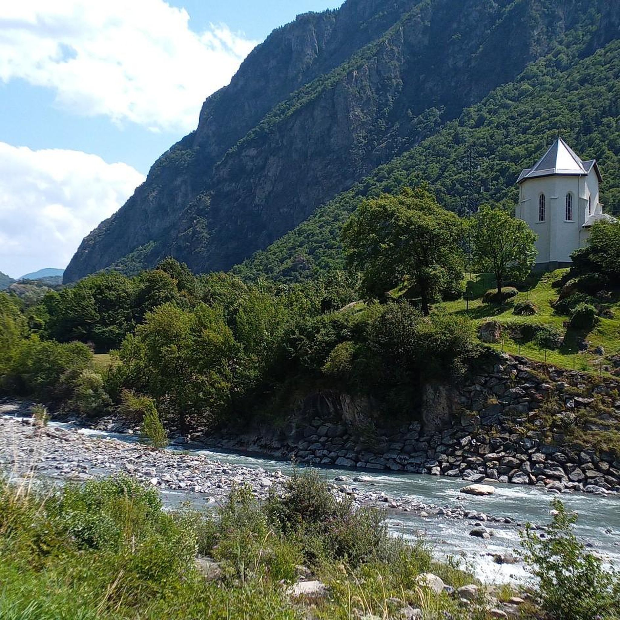
Beautiful church and small water spot.
2
0
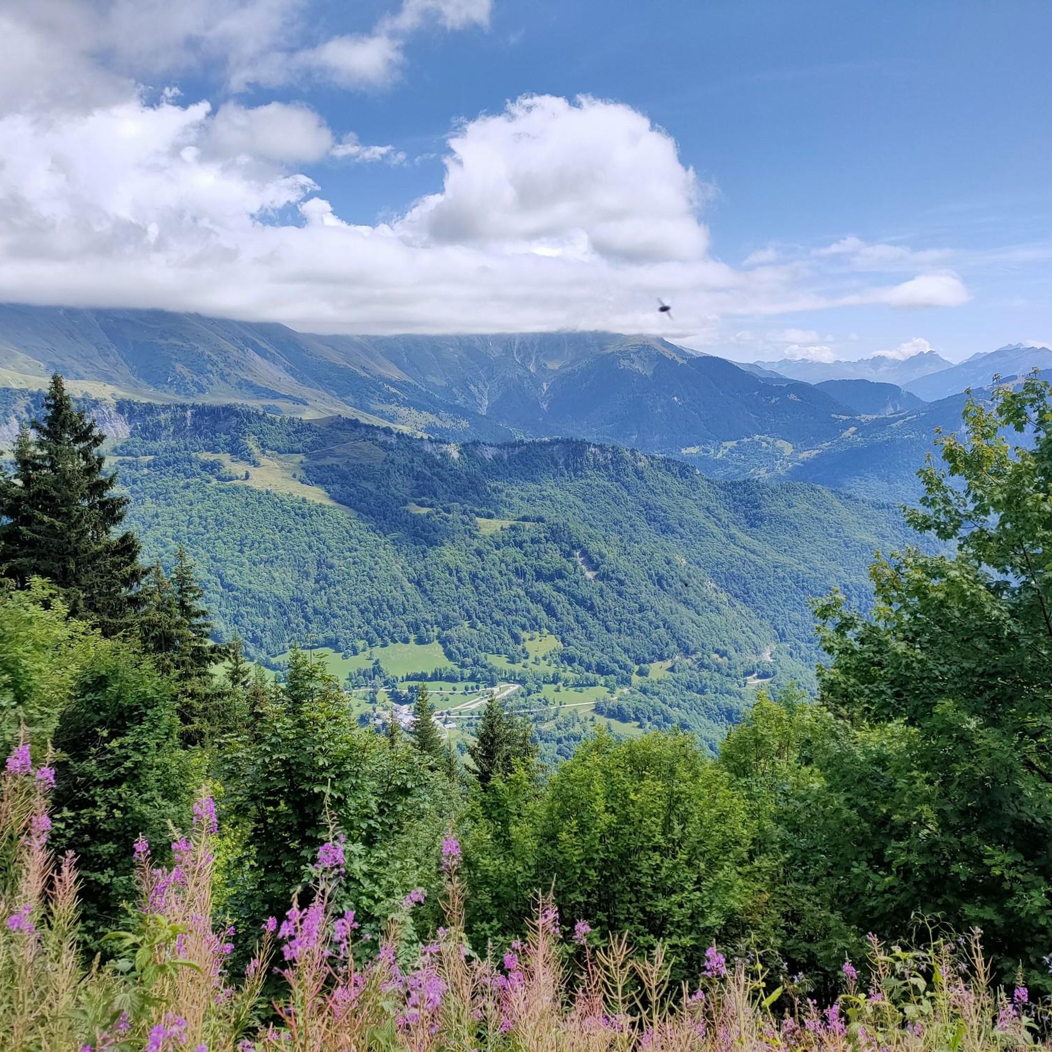
Small street and great views. Little traffic.
2
0
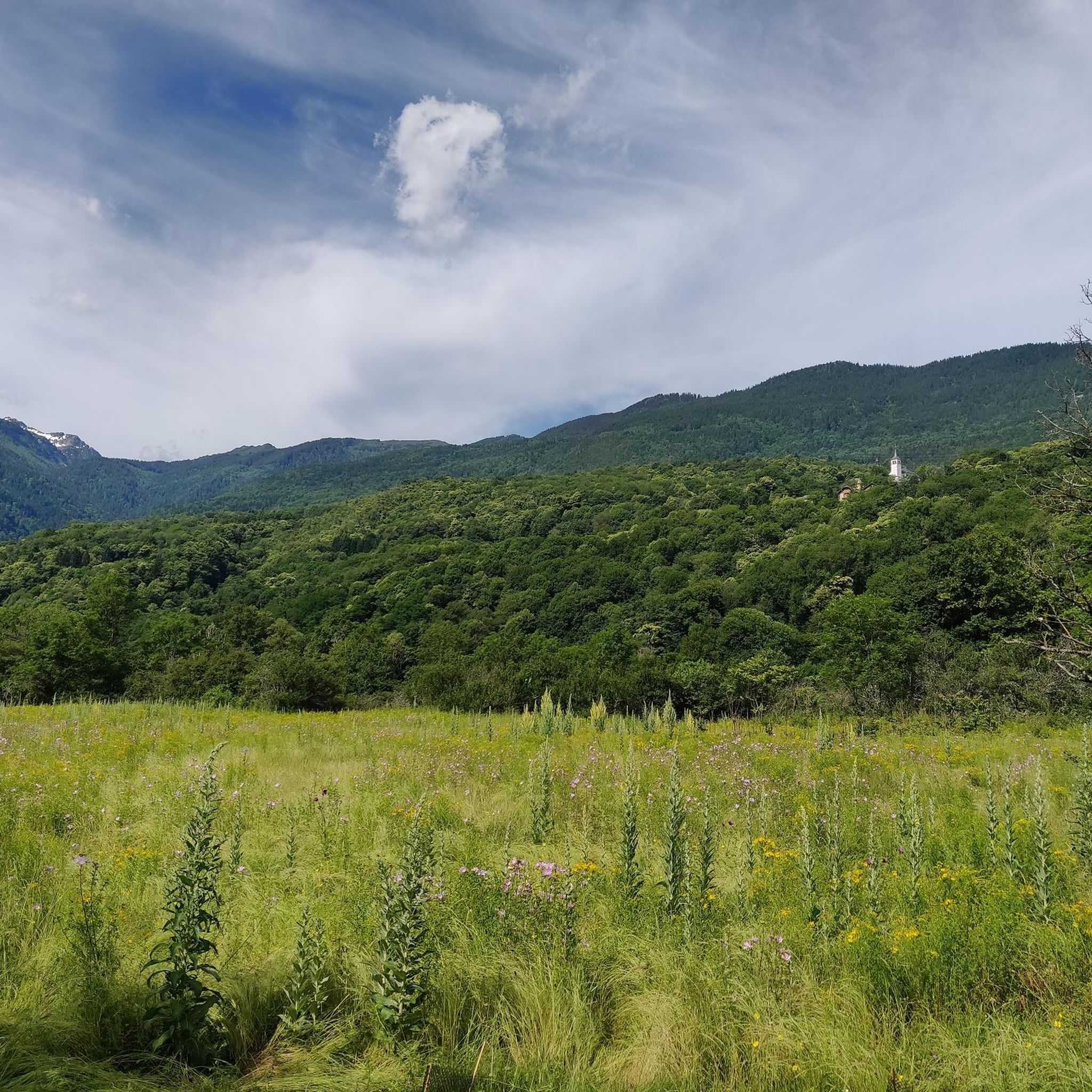
Transit town in the valley, various options for mountains.
2
0
Church worth seeing in Montvernier.
2
0
nice little restaurant, great views
2
0
Small resting place, great view.
2
0
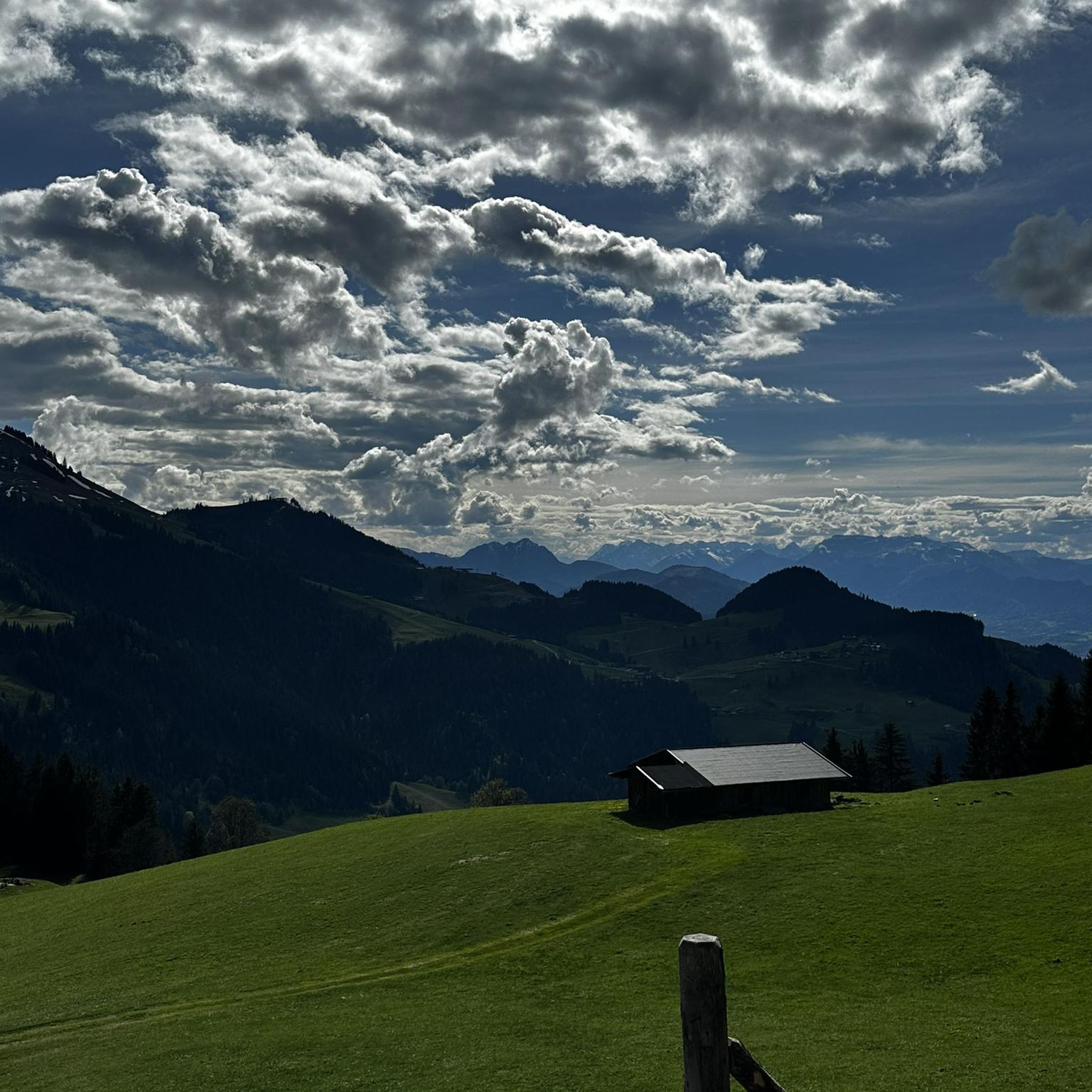
Great road and wonderful views.
2
0
Frequently Asked Questions
How many touring cycling routes are available around Saint-Pierre-De-Belleville?
There are 29 touring cycling routes around Saint-Pierre-De-Belleville. These routes cater to various skill levels, with 2 easy, 7 moderate, and 20 difficult options.
What kind of terrain can I expect on touring cycling routes around Saint-Pierre-De-Belleville?
The terrain around Saint-Pierre-De-Belleville is diverse, ranging from 357 meters along the Arc River to 2,341 meters at Pointe de Rognier. You'll encounter flower-filled pastures, pine forests, and rocky alpine areas at higher altitudes. The region offers striking vertical contrasts and access to the wider Maurienne Valley and Vallée des Belleville, known for challenging mountain passes and scenic river valleys.
Are there any easy touring cycling routes suitable for beginners?
Yes, there are 2 easy touring cycling routes available. While many routes in the area feature significant elevation gain, these easier options provide a gentler introduction to the region's beautiful landscapes.
What famous mountain passes can I access for touring cycling from Saint-Pierre-De-Belleville?
Saint-Pierre-De-Belleville is a gateway to some of the French Alps' most celebrated cycling routes. You can access iconic passes such as Col du Grand Cucheron and Col de la Madeleine. The Maurienne Valley, easily accessible from the area, is also renowned for passes like Col du Galibier, Col de la Croix de Fer, and Col du Glandon.
Are there any circular touring cycling routes in the area?
Yes, several routes are designed as loops. For example, the Drinking Water at the Cemetery – Church of La Chambre loop from Épierre - Saint-Léger is a moderate 35.2 km route, and the Hurtières Lake – Col du Grand Cucheron loop from Les Chavannes-en-Maurienne offers a challenging 49.4 km ride.
What natural features or landmarks can I see while touring cycling in Saint-Pierre-De-Belleville?
While cycling, you can enjoy views of flower-filled pastures, pine forests, and rocky alpine areas. Higher elevations offer breathtaking views extending to the Vanoise glaciers, the Mont-Blanc massif, and the peaks of the Lauzière mountain range. Notable landmarks include the challenging Col du Grand Cucheron and the scenic Scenic Secondary Road to Col de la Madeleine.
What is the best time of year for touring cycling in Saint-Pierre-De-Belleville?
The best time for touring cycling in Saint-Pierre-De-Belleville is typically during the warmer months, from late spring to early autumn. During this period, mountain passes are generally clear of snow, and the weather is more favorable for cycling, allowing you to fully enjoy the alpine landscapes.
Is Saint-Pierre-De-Belleville well-equipped for cyclists?
Yes, the broader Vallée des Belleville, which includes Saint-Pierre-De-Belleville, is 'Accueil Vélo' certified. This indicates a cyclist-friendly infrastructure, including bike service areas and, in some parts, summer ski lifts that provide easy access to higher altitudes for various cycling disciplines.
What do other touring cyclists enjoy most about touring cycling in Saint-Pierre-De-Belleville?
The area is highly rated by the komoot community, with an average score of 4.6 stars from over 70 reviews. Reviewers often praise the diverse alpine landscapes, the challenge of the mountain passes, and the extensive network of routes that offer options for different ability levels.
Are there any family-friendly touring cycling routes in the Saint-Pierre-De-Belleville area?
While many routes are challenging, the region does offer 2 easy routes that could be suitable for families or those seeking a less strenuous ride. The Vallée des Belleville also features a wide network of cycling routes, some of which are designed to be more accessible.
Where can I find information about parking or public transport access for touring cycling routes?
Specific parking information for individual routes is often available on the route details page. For broader public transport options in the Maurienne Valley and Vallée des Belleville, it's advisable to consult local tourism resources. For general information about the region, you can visit portedemaurienne-tourisme.com.
Can I find accommodation or places to eat near the touring cycling routes?
Saint-Pierre-De-Belleville and the surrounding villages in the Maurienne Valley and Vallée des Belleville offer various accommodation options, cafes, and restaurants. These amenities are generally available in the settlements you'll pass through or near the start/end points of many routes, providing convenient stops for cyclists.
Most popular routes around Saint-Pierre-De-Belleville
Most popular attractions around Saint-Pierre-De-Belleville

Get inspired with the komoot mobile app


Explore more
Browse the best Cycling routes in other regions.
