The best MTB trails around Betton-Bettonet
4.5
(88)
648
riders
83
rides
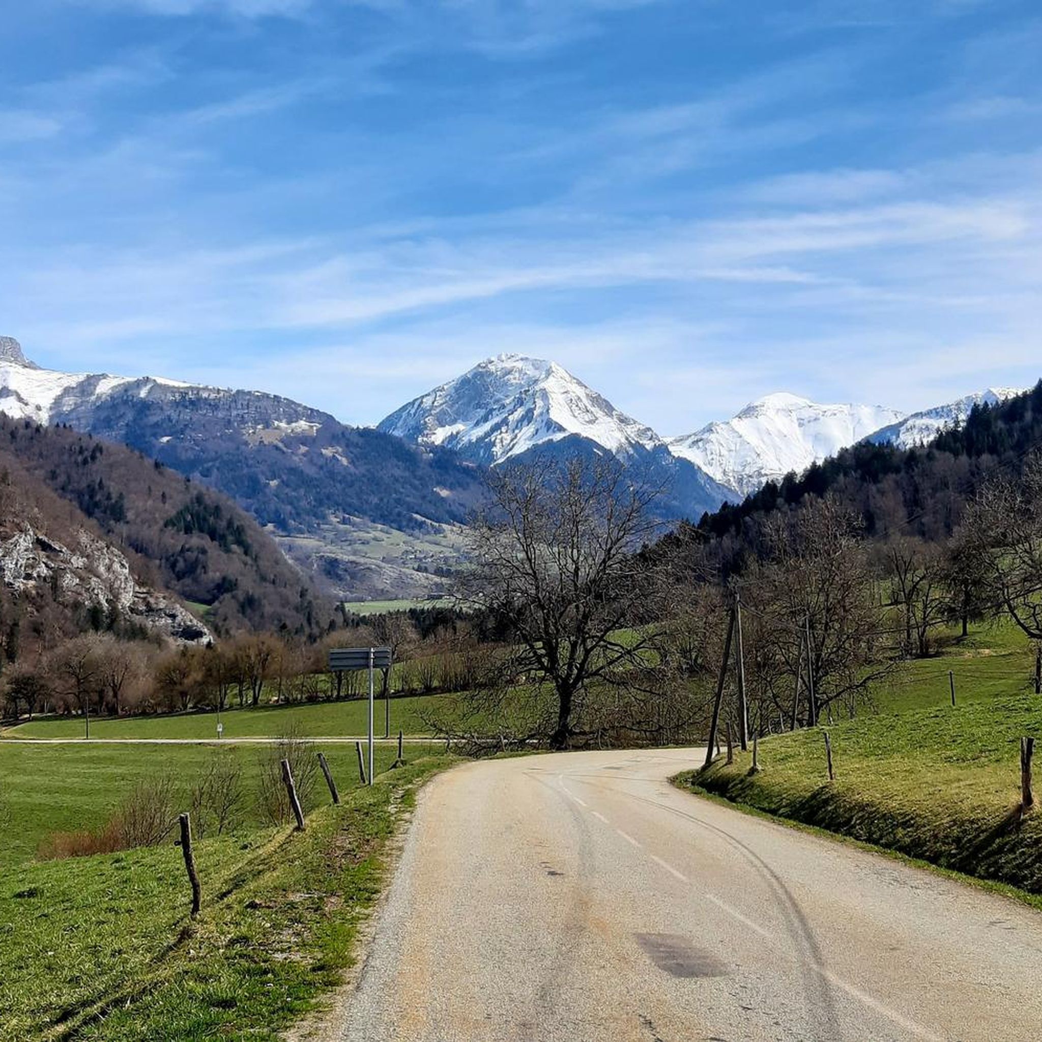
Mountain bike trails around Betton-Bettonet are set within the Savoie department of France's Auvergne Rhône-Alpes region, offering diverse terrain for cycling. The area features a mountainous environment with varied topography, including forested areas, valleys, and views of the surrounding Alpine foothills. Riders can expect routes with varied gradients and natural obstacles, characteristic of the region's landscape.
Best mountain bike trails around Betton-Bettonet
- The most popular mountain bike trail is Col du Grand Cucheron – Arbarétan Pass loop from Bourget-en-Huile,…
Last updated: July 15, 2026
4.0
(2)
22
riders
49.2km
03:49
260m
260m
Hard mountain bike ride. Good fitness required. Advanced riding skills necessary. Some portions of the route may require you to push your bike.
4.0
(2)
8
riders
25.0km
03:07
1,080m
1,080m
Hard mountain bike ride. Very good fitness required. Advanced riding skills necessary.

Sign up for free
8
riders
55.7km
03:32
490m
490m
Moderate mountain bike ride. Good fitness required. Suitable for all skill levels.
8
riders
24.8km
02:37
630m
630m
Hard mountain bike ride. Good fitness required. Advanced riding skills necessary. Some portions of the route may require you to push your bike.
8
riders
Hard mountain bike ride. Good fitness required. Advanced riding skills necessary. Some portions of the route may require you to push your bike.
Get access to more routes and recommendations from other explorers.
Sign up for free
Already have an account?
Our route recommendations are based on thousands of hikes, rides, and runs completed by other people on komoot.
Start today with a free account
Your next adventure awaits.
Login or Signup


Tips from the Community

just magnificent, keep it secret or almost....
0
0

A sustained climb from Chamoux; for those with the best tire equipment (minimum 25" 4 seasons), it's possible to climb all the way to the Fort itself!
0
0


The Col de Cochette from La Trinité is 2.99 km long with a total drop of 237 m. The average gradient is 7.9% with maximum gradients of 10%. From Villard-d'Héry, it is 1.89 km with an average gradient of 7.8%. There is a total drop of 148m.
2
0

incredible sunrise for this last day of October, unreal colors on the misty Combe and the great arc in the background
0
0

The Montgilbert fort is located at an altitude of 1,630 meters and dates from the 1880s. It then allowed the surveillance of the Arc valley, the According to valleys and the Cucheron pass. It is no longer possible to visit it, but you can get a good overview by approaching the entrance.
0
0
Frequently Asked Questions
How many mountain bike trails are available around Betton-Bettonet?
There are over 75 mountain bike trails around Betton-Bettonet, offering a wide range of options for different skill levels. This includes 10 easy routes, 33 moderate routes, and 32 difficult routes.
What kind of terrain can I expect on mountain bike trails in Betton-Bettonet?
The terrain around Betton-Bettonet is characterized by its mountainous environment within the Savoie department. You'll encounter varied gradients, forested areas, valleys, and natural obstacles, typical of the Alpine foothills. Routes often feature significant ascents and descents, providing both challenge and scenic views.
Are there any easy mountain bike trails suitable for beginners or families?
Yes, there are 10 easy mountain bike trails around Betton-Bettonet. An example of a more accessible route is the Lake Carouge – Étang de Grésy loop from Saint-Pierre-d'Albigny, which is approximately 24 km long with minimal elevation gain, making it suitable for a more relaxed ride.
What are some notable landmarks or natural features to see while mountain biking in the area?
While exploring the trails, you can encounter various natural and historical landmarks. Highlights include the Col du Frêne (950 m), scenic lakes like Lac de Sainte Hélène and Lac de la Thuile, and viewpoints such as Watch Rock. Some routes also offer views of historic structures like Château de Miolans.
Are there any mountain bike trails that pass by lakes or offer water views?
Yes, several routes incorporate water features. For instance, the Col de Cochette (587 m) – Lake Carouge loop from Saint-Pierre-d'Albigny explores a hill pass and a scenic lake. Another option is the easy Lake Carouge – Étang de Grésy loop from Saint-Pierre-d'Albigny.
What do other mountain bikers say about the trails in Betton-Bettonet?
The mountain bike trails around Betton-Bettonet are highly regarded by the komoot community, holding an average rating of 4.5 stars from over 80 reviews. Riders often praise the varied terrain, the challenging climbs, and the beautiful natural scenery of the Savoie region.
Are there any challenging mountain bike routes for experienced riders?
Absolutely. Betton-Bettonet offers 32 difficult mountain bike routes. A challenging option is the Col du Grand Cucheron – Arbarétan Pass loop from Bourget-en-Huile, which covers nearly 28 km with significant elevation gain through mountain passes. Another demanding route is the Fort Montgilbert loop from Betton-Bettonet, featuring over 1100 meters of ascent.
Can I find mountain bike routes that offer views of vineyards or historic sites?
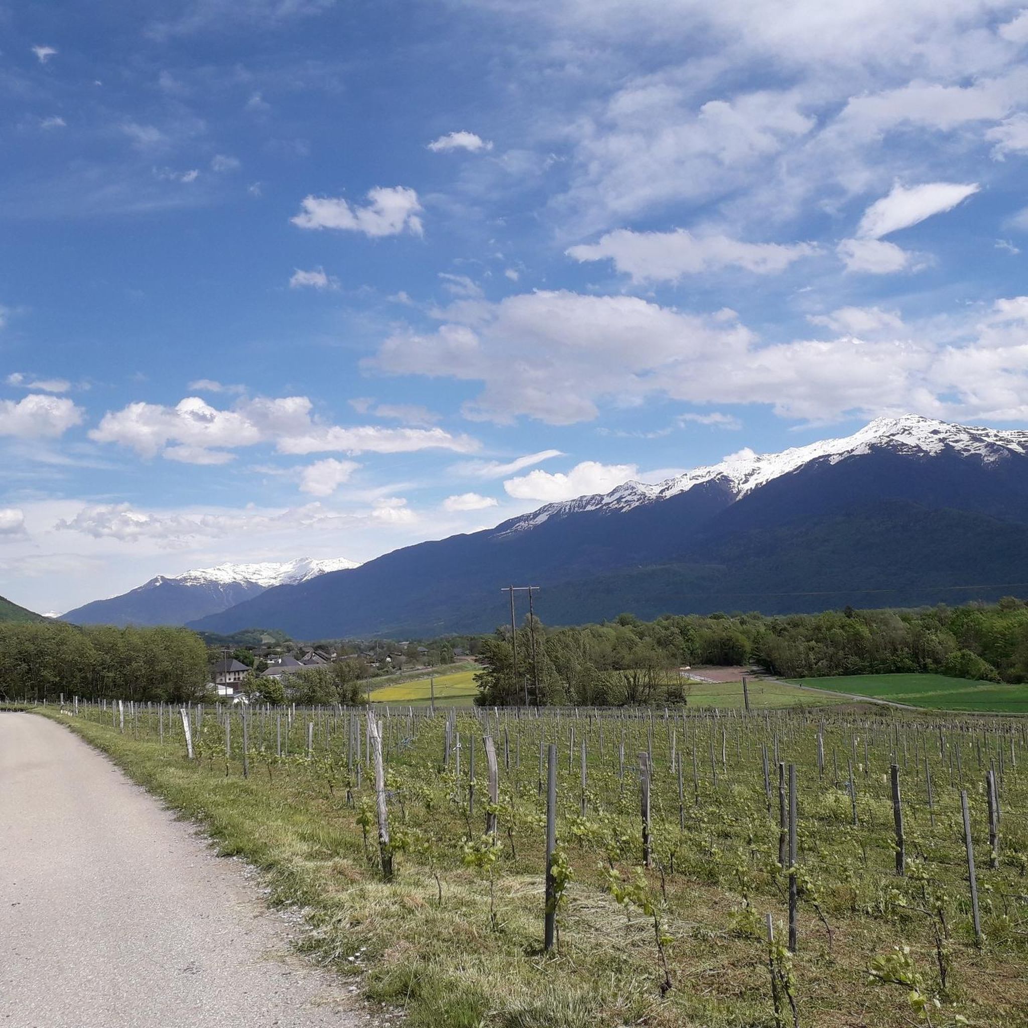
Yes, you can. The Arclusaz from the vineyards – View of Château de Miolans loop from Saint-Pierre-d'Albigny is a great choice. This trail leads through local vineyards and provides scenic views of the historic Château de Miolans.
What is the best time of year to go mountain biking in Betton-Bettonet?
Given the mountainous environment of the Savoie region, spring through autumn generally offers the most favorable conditions for mountain biking. During these seasons, trails are typically clear of snow, and the weather is more conducive to outdoor activities. It's always advisable to check local weather forecasts before heading out.
Are there any circular mountain bike routes available?
Many of the mountain bike trails around Betton-Bettonet are designed as loops, allowing you to start and finish at the same point. Examples include the Col du Grand Cucheron – Arbarétan Pass loop and the Col de Cochette – Lake Carouge loop.
Most popular routes around Betton-Bettonet
Most popular attractions around Betton-Bettonet

Get inspired with the komoot mobile app


Explore more
Browse the best MTB trails in other regions.
