The best running trails around Montendry
4.7
(29)
1,233
runners
92
runs
Jogging routes around Montendry are set within the scenic Savoie region of France, characterized by its mountainous terrain and diverse natural features. The area is nestled near the Massif des Bauges Regional Natural Park, offering varied topography and significant elevation changes. Runners can expect a mix of accessible paths and challenging climbs, with routes often featuring mountain passes like Col du Frêne. This landscape provides a range of options for different running preferences.
Best jogging routes around Montendry
- The most…
Last updated: July 1, 2026
115
runners
68.8km
10:54
3,770m
3,760m
Hard run. Very good fitness required. Sure-footedness, sturdy shoes and alpine experience required.
5.0
(1)
13
runners
6.97km
00:52
280m
280m
Moderate run. Good fitness required. Mostly paved surfaces. Suitable for all skill levels.

Sign up for free
7
runners
14.2km
01:32
190m
190m
Moderate run. Good fitness required. Mostly paved surfaces. Suitable for all skill levels.
5
runners
5.37km
00:39
110m
110m
Moderate run. Good fitness required. Mostly paved surfaces. Suitable for all skill levels.
10
runners
22.8km
02:53
630m
630m
Hard run. Very good fitness required. Sure-footedness, sturdy shoes and alpine experience required.
Get access to more routes and recommendations from other explorers.
Sign up for free
Already have an account?
Our route recommendations are based on thousands of hikes, rides, and runs completed by other people on komoot.
Start today with a free account
Your next adventure awaits.
Login or Signup
Tips from the Community

just magnificent, keep it secret or almost....
0
0

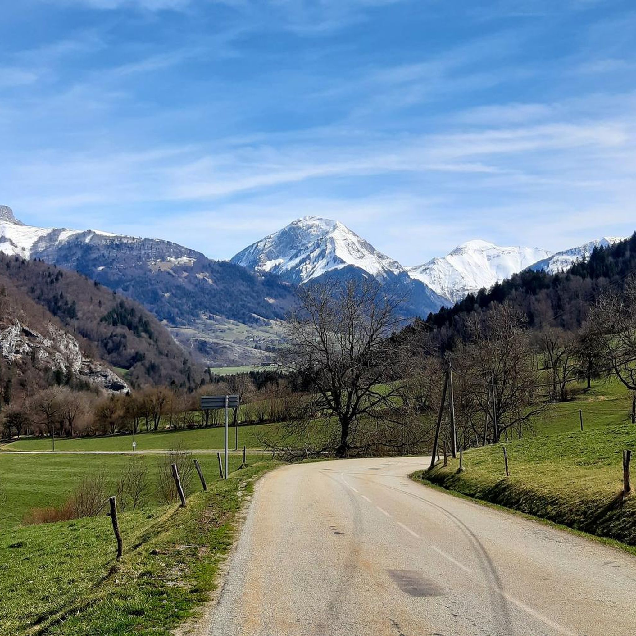
magnificent view of the snow-capped mountains at the end of May
1
0

Large parts of the tour have very little traffic, so you can enjoy the beautiful nature even more.
1
0

The Col de Cochette from La Trinité is 2.99 km long with a total drop of 237 m. The average gradient is 7.9% with maximum gradients of 10%. From Villard-d'Héry, it is 1.89 km with an average gradient of 7.8%. There is a total drop of 148m.
2
0

Col la Perche is located at an altitude of 1,986 meters, between Pointe de Rognier (2,341 meters) and Chapotet (2,083 meters).
0
0
Aiguebelle marks the entrance to the Maurienne valley. It is a small living town with a rich past, from where a good number of hikes start.
0
0
The Col de la Perrière is located at an altitude of 2,003 meters. It offers a superb view of the Grand Charnier, the Grands Moulins, the Frêche, the Tête de la Perrière and the Grand Miceau.
0
0
It is a superb passage, at an altitude of 1,850 meters. The panorama opens onto the Lauzière chain, Mont Blanc and Pointe de Rognier. A small lake is at the level of the pass, it is the lake of the Frogs.
0
0
Frequently Asked Questions
How many running routes are available around Montendry?
Montendry offers a wide selection of running routes, with over 90 trails available for exploration. These routes cater to various skill levels, ranging from easy paths to more challenging runs.
Are there easy running routes suitable for beginners in Montendry?
Yes, Montendry has several easy running routes perfect for beginners or those looking for a relaxed jog. While the region is known for its mountainous terrain, you can find less strenuous options. For example, the area offers 3 easy routes, ensuring there's something for every fitness level.
What about more challenging trails for experienced runners in Montendry?
Experienced runners will find plenty of challenging trails around Montendry. The region's proximity to the Massif des Bauges means routes often feature significant elevation gains and varied topography. There are 38 difficult routes available, including longer loops like the Col de Champlaurent loop from Champlaurent, which covers over 15 km with considerable ascent.
Can I find circular running routes in the Montendry area?
Absolutely! Many of the running routes around Montendry are circular, allowing you to start and finish at the same point. Popular options include the Col de Champlaurent loop from Champlaurent and the Château Rochette loop from Aiton, both offering varied terrain and scenic views.
What kind of scenic views can I expect on Montendry's jogging trails?
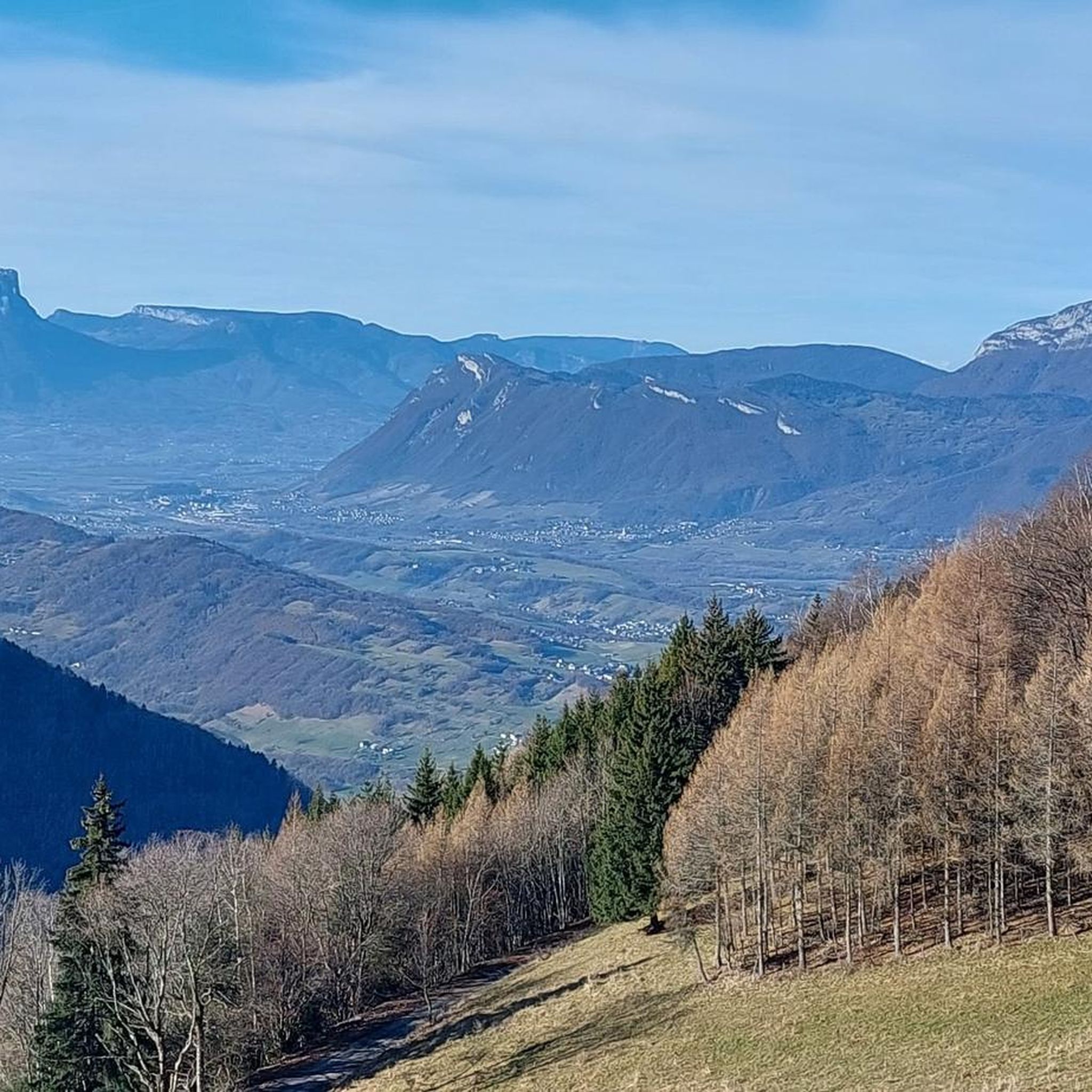
Jogging in Montendry offers splendid panoramas, especially from elevated points like Pierre Besse. You can expect breathtaking views of the Combe de Savoie and the impressive Dent d'Arclusaz, particularly around mountain passes such as Col du Frêne (950 m). The diverse terrain, from accessible paths to challenging climbs, is set against a backdrop of the rugged beauty of the Massif des Bauges.
Are there running trails with convenient parking options near Montendry?
Yes, many running trails in the Montendry area offer convenient parking. Mountain passes like Col du Frêne (950 m) are often highlighted as good spots to park before heading out on a run. It's advisable to check individual route descriptions for specific parking information.
Is it possible to access running routes around Montendry using public transport?
While Montendry is nestled in a more rural, mountainous region, public transport options might be limited directly to trailheads. It's best to research local bus services connecting to nearby towns like Chambéry, which may offer better access points. For specific routes, checking local transport schedules is recommended.
Are the jogging routes around Montendry dog-friendly?
Many outdoor trails in the Savoie region are generally dog-friendly, but it's always recommended to check specific route regulations, especially within protected areas like the Massif des Bauges Regional Natural Park. Ensure your dog is on a leash and that you carry waste bags to maintain the natural environment.
Are there any family-friendly running paths suitable for all ages?
Yes, Montendry offers paths that are suitable for families, particularly the easier and moderate routes. These often feature less elevation gain and more stable surfaces. Look for routes described as 'easy' or 'moderate' for options that can be enjoyed by various family members.
What natural landmarks or points of interest can I discover while running in Montendry?
While running in Montendry, you'll be surrounded by the natural beauty of the Massif des Bauges. You might encounter notable mountain passes like Col du Frêne (950 m) or Col de Champlaurent. The region also features impressive peaks such as Dent d'Arclusaz and Le Grand Parra, which, while not always directly on jogging paths, contribute to the stunning backdrop.
When is the best time of year to go running in Montendry?
The best time for running in Montendry is generally from spring through autumn when the weather is milder and trails are clear of snow. Summer offers warm conditions, while spring and autumn provide pleasant temperatures and vibrant scenery. Higher elevation trails might be inaccessible due to snow during winter, though lower routes could still be runnable.
What do other runners enjoy the most about jogging in Montendry?
The running routes in Montendry are highly rated by the komoot community, with an average score of 4.7 stars from over 20 reviews. Runners frequently praise the varied topography, the challenging climbs, and the stunning panoramic views offered by the mountainous terrain. The diverse range of routes, from moderate loops like Running loop from Saint-Alban-d'Hurtières to more difficult trails, also contributes to its popularity.
Most popular attractions around Montendry

Get inspired with the komoot mobile app


Explore more
Browse the best Running Trails & Routes in other regions.
