The best walks and hikes around Castelfranc
4.4
(292)
1,226
hikers
113
hikes
Hiking around Castelfranc, situated in the Lot department of France, features a landscape defined by limestone plateaus, river valleys, and areas of dense woodland. The region is known for its geological formations and historical sites, including prehistoric dolmens. Trails often traverse varied elevations, providing views of the surrounding countryside.
Best hiking trails around Castelfranc
- The most popular hiking route is Albas Orientation Table – Albas loop from Albas, a 9.6 miles (15.4 km) trail that takes 4 hours 25…
Last updated: June 24, 2026
4.0
(8)
31
hikers
10.8km
02:58
160m
160m
Moderate hike. Good fitness required. Easily-accessible paths. Suitable for all skill levels.
4.8
(4)
24
hikers
7.67km
02:07
140m
130m
Moderate hike. Good fitness required. Easily-accessible paths. Suitable for all skill levels.

Sign up for free
4.0
(4)
12
hikers
14.7km
04:15
370m
370m
Moderate hike. Good fitness required. Easily-accessible paths. Suitable for all skill levels.
5.0
(2)
9
hikers
Hard hike. Very good fitness required. Easily-accessible paths. Suitable for all skill levels.
4.0
(1)
3
hikers
3.54km
00:58
60m
60m
Easy hike. Great for any fitness level. Easily-accessible paths. Suitable for all skill levels.
Get access to more routes and recommendations from other explorers.
Sign up for free
Already have an account?
Our route recommendations are based on thousands of hikes, rides, and runs completed by other people on komoot.
Start today with a free account
Your next adventure awaits.
Login or Signup

Tips from the Community

A magnificent place for both partying and running... Belaye!!!
0
0
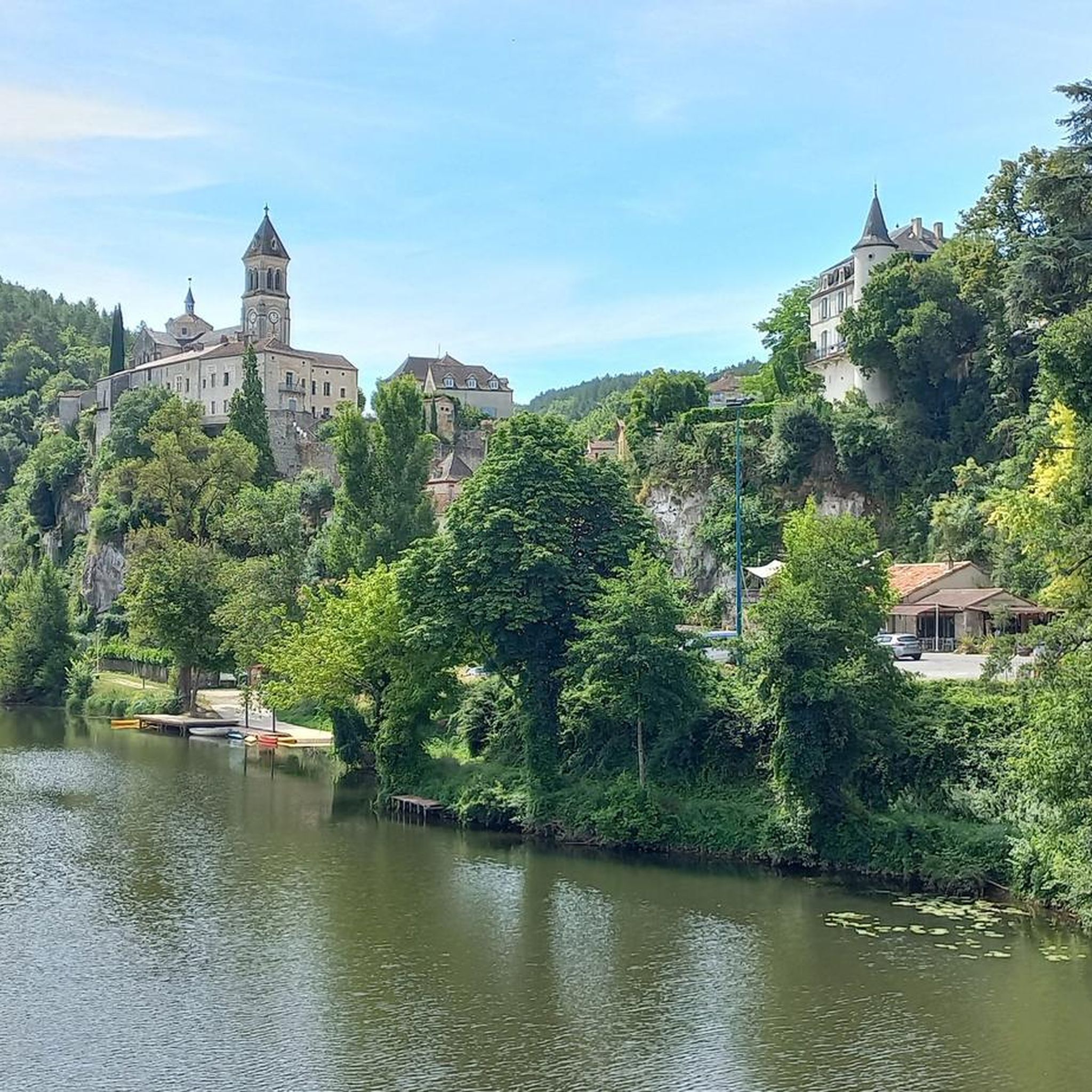
At the foot of the castle, impressive!!!
0
0


rest spot on the Lot, small beach to relax
0
0

Nice view of the center from the narrow bridge
0
0

Very beautiful castle which you can easily go around. Of square construction, it is bordered to the south by vines and is surrounded by chestnut trees.
0
0

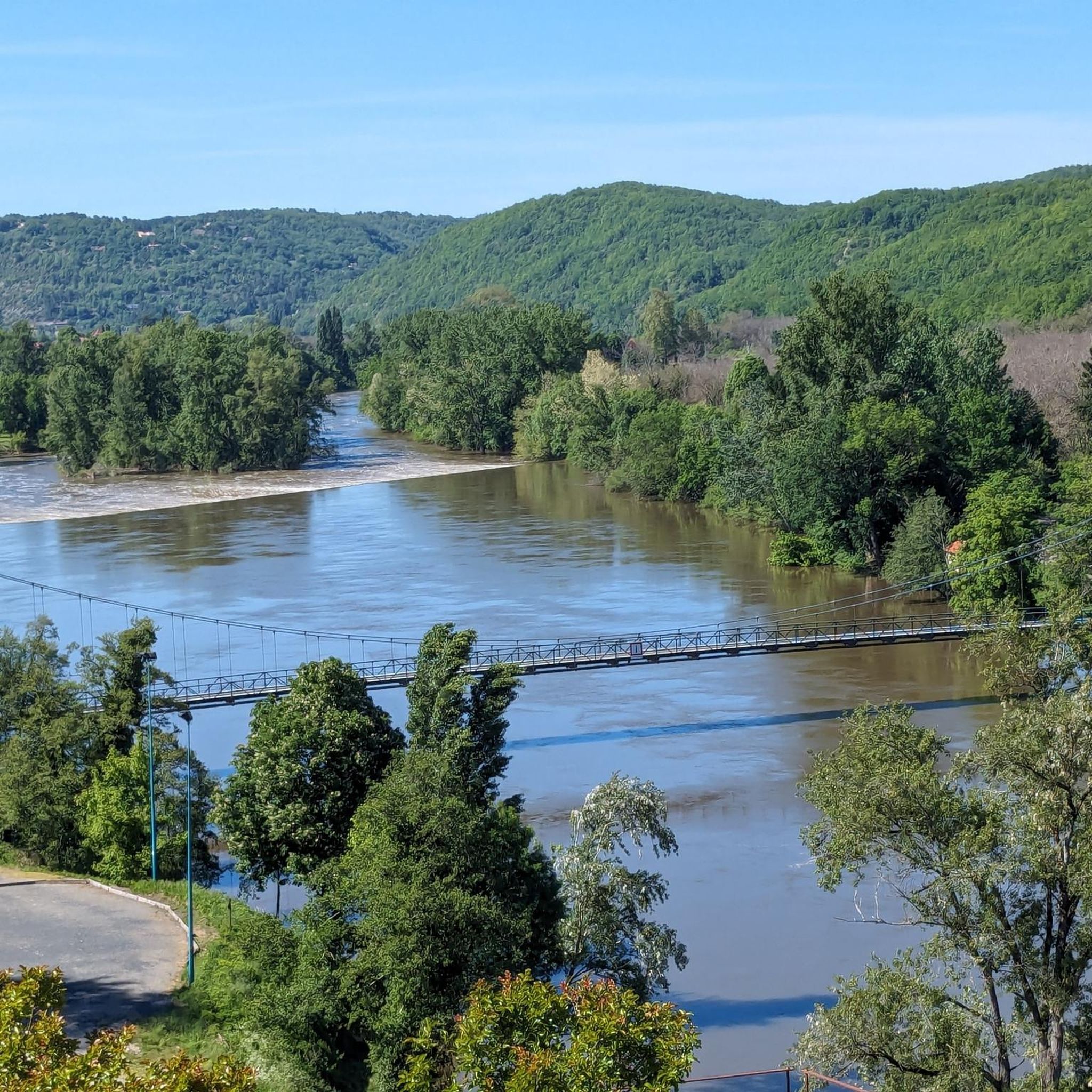
very nice view Albas suspension bridge
0
0
Frequently Asked Questions
How many hiking trails are available around Castelfranc?
There are over 100 hiking routes in the Castelfranc area, offering a wide range of options for different skill levels and preferences. The komoot community has explored more than 106 routes in this region.
Are there easy hiking trails suitable for beginners around Castelfranc?
Yes, Castelfranc offers numerous easy hiking trails perfect for beginners. Out of the total routes, 43 are classified as easy, often traversing gentle terrain through woodlands and along river valleys. These routes are a great way to experience the region's natural beauty without significant elevation challenges.
What is the typical length and duration of hikes in the Castelfranc area?
Hikes around Castelfranc vary in length and duration. Many popular routes, like the Prehistoric Dolmen loop from Castelfranc, are around 4.7 miles (7.5 km) and take about 2 hours. Longer options, such as the Albas Orientation Table – Albas loop from Albas, can extend to 9.6 miles (15.4 km) and take over 4 hours, offering more challenging terrain and panoramic views.
Are there family-friendly hiking options near Castelfranc?
Yes, many of the easier trails around Castelfranc are suitable for families. These routes often feature relatively flat paths through forests or along the Lot River, providing pleasant walks for all ages. Look for routes with shorter distances and minimal elevation gain for the best family experience.
Are dogs allowed on hiking trails around Castelfranc?
Generally, dogs are welcome on hiking trails in the Castelfranc region. However, it's always recommended to keep your dog on a leash, especially when passing through agricultural areas or near livestock, and to clean up after them. Always check local signage for any specific restrictions.
What kind of natural landmarks or attractions can I see while hiking in Castelfranc?
The Castelfranc region is rich in natural and historical landmarks. You can explore ancient prehistoric dolmens, which are scattered throughout the landscape, particularly on routes like the Castelfranc Beach – Prehistoric Dolmen loop from Castelfranc. The area is also characterized by limestone plateaus and scenic river valleys, offering diverse geological features and picturesque views.
Are there any interesting towns or villages to visit near the hiking routes?
Absolutely. The hiking trails often pass near charming villages and towns. For instance, the Albas Orientation Table – Albas loop from Albas starts near Albas, a picturesque village. Other notable places to explore include Puy-l'Évêque and Luzech, which offer historical sites and local charm.
Is parking available at trailheads around Castelfranc?
Parking is generally available in the villages and towns that serve as starting points for many hikes, including Castelfranc itself. Look for designated parking areas in village centers or near local amenities. For more remote trailheads, roadside parking might be an option, but always ensure you are not obstructing access or private property.
What is the best time of year to hike around Castelfranc?
The best time to hike around Castelfranc is typically during spring (April to June) and autumn (September to October). During these seasons, the weather is mild and pleasant, and the natural scenery is particularly beautiful with blooming wildflowers or vibrant fall foliage. Summer can be hot, so early morning or late afternoon hikes are recommended then.
What do other hikers enjoy most about hiking in Castelfranc?
The hiking experience in Castelfranc is highly rated by the komoot community, with an average score of 4.4 stars. Reviewers often praise the region's diverse landscapes, which include quiet woodlands, open countryside, and historical dolmen sites. The well-maintained paths and the opportunity to discover ancient history while enjoying nature are frequently highlighted.
Are there any circular hiking routes available in Castelfranc?
Yes, many of the hiking routes around Castelfranc are circular, offering convenient starting and ending points in the same location. For example, the Hiking loop from Castelfranc is a popular moderate circular path that explores the local woodlands and countryside, bringing you back to your starting point.
Are there any challenging or advanced hiking routes in the Castelfranc area?
While most routes are moderate, Castelfranc does offer a few more challenging options for experienced hikers. These routes typically feature greater distances and more significant elevation changes, providing a good workout and rewarding views from the limestone plateaus. There are 3 routes classified as difficult, offering a more strenuous experience.
Most popular routes around Castelfranc
Most popular attractions around Castelfranc

Get inspired with the komoot mobile app


Explore more
Browse the best Hikes in other regions.
