The best cycling routes around La Talaudière
4.2
(474)
5,444
riders
351
rides
Touring cycling routes around La Talaudière offer a diverse landscape for cyclists, characterized by varied terrain that includes both paved roads and forest tracks. The region features hilly landscapes with significant elevation changes, providing opportunities for both challenging climbs and more moderate rides. Cyclists can traverse agricultural areas, dense forested sections, and natural spaces such as the Étang Paysager de La Talaudière. This mix of environments ensures a range of experiences for touring cyclists.
Best touring cycling routes around La…
Last updated: October 4, 2026
4.5
(12)
53
riders
22.2km
01:28
330m
330m
Moderate bike ride. Good fitness required. Mostly paved surfaces. Suitable for all skill levels.
4.3
(4)
45
riders
58.3km
04:06
1,070m
1,070m
Hard bike ride. Very good fitness required. Mostly paved surfaces. Suitable for all skill levels.

21
riders
24.5km
02:18
560m
570m
Hard bike ride. Very good fitness required. Mostly paved surfaces. Suitable for all skill levels.
3.0
(1)
22
riders
18.9km
01:13
250m
250m
Moderate bike ride. Good fitness required. Mostly paved surfaces. Suitable for all skill levels.
5.0
(2)
18
riders
82.3km
05:38
1,390m
1,390m
Hard bike ride. Very good fitness required. Mostly paved surfaces. Suitable for all skill levels.
Get access to more routes and recommendations from other explorers.
Already have an account?
Our route recommendations are based on thousands of hikes, rides, and runs completed by other people on komoot.
Start today with a free account
Your next adventure awaits.

Tips from the Community

Upon arriving at Saint-Symphorien-sur-Coise, you cannot miss the imposing church that dominates the village. The building, classified as a Historic Monument, has undergone a major renovation. This collegiate church is remarkable for its style but also particularly for its unusual shape. Indeed, the cramped terrain did not allow for the construction of the nave, which traditionally gives its monuments a cross shape.
0
0

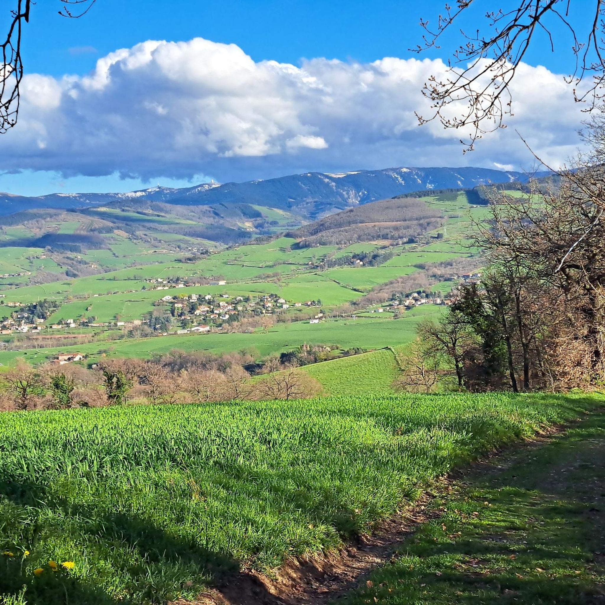
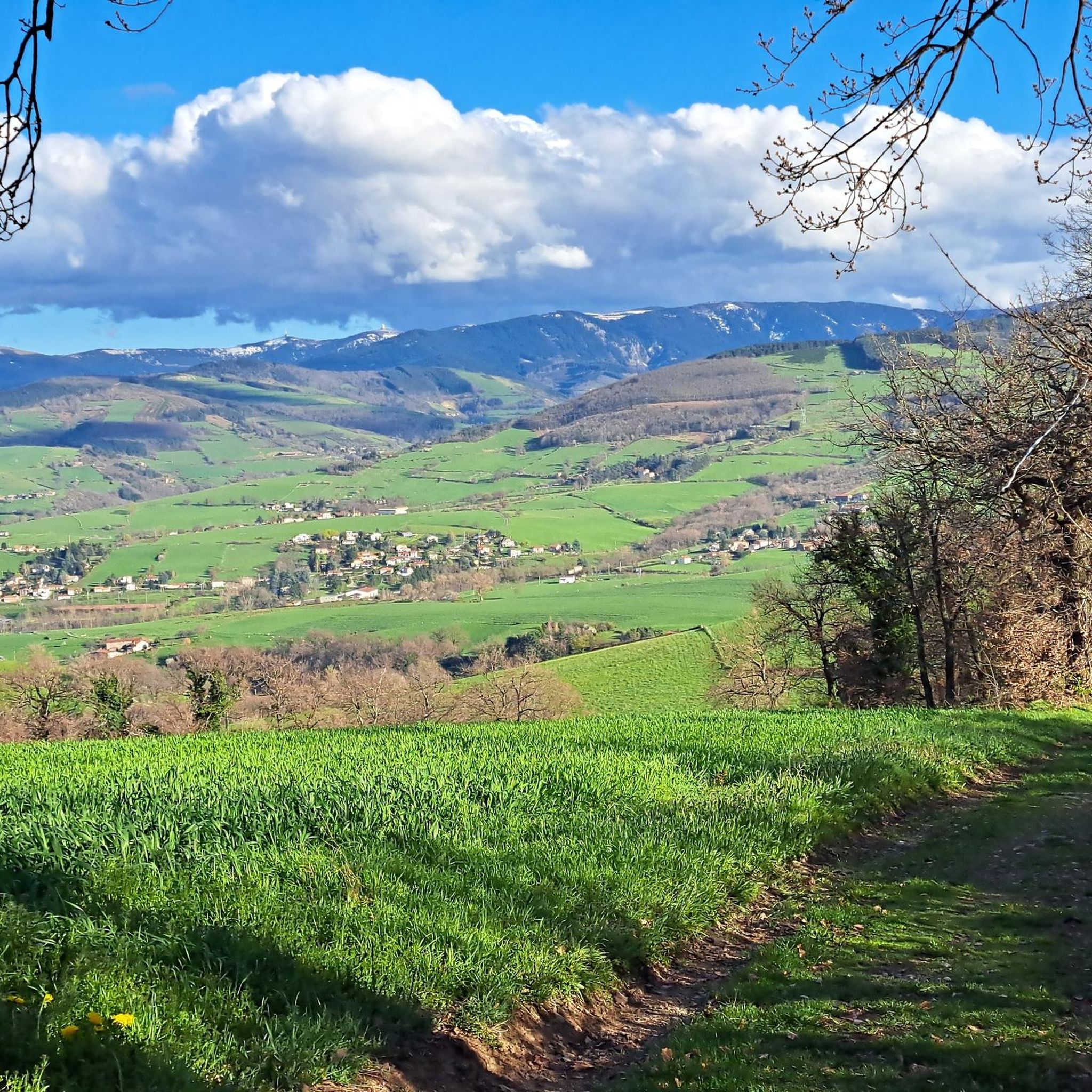
Few cars on Monday mid-morning, we enjoy the calm on this beautiful little route, looking at the magnificent green landscapes just below us.
0
0

Crêt Malherbe is the highest point in the Monts du Lyonnais. At 946 meters, it offers a panoramic view of the Alps and the Pilat massif. Although it provides a valuable vantage point, this summit is not frequently visited and is only accessible via a footpath from the hamlet of Les Loives.
0
0
on the watershed between the ocean and the Mediterranean
0
0


Pleasant and friendly especially when the weather is nice
0
0
Super beautiful and pleasant in good weather
0
0
Frequently Asked Questions
How many touring cycling routes are available around La Talaudière?
There are over 300 touring cycling routes in the La Talaudière area, offering a wide range of options for cyclists. These routes are highly rated by the komoot community, with an average score of 4.2 stars.
What kind of terrain can I expect on touring cycling routes in La Talaudière?
The terrain around La Talaudière is quite varied, featuring a mix of paved roads and forest tracks. You'll encounter hilly landscapes with significant elevation changes, providing opportunities for both challenging climbs and more moderate rides. Routes often traverse agricultural areas and dense forested sections.
Are there any easy touring cycling routes for beginners or families?
Yes, while many routes are moderate to difficult, there are 28 easy touring cycling routes available around La Talaudière. These routes are generally shorter and have less elevation gain, making them suitable for beginners or families looking for a more relaxed ride.
What are some notable natural attractions or points of interest to see while cycling?
Beyond the cycling routes themselves, La Talaudière offers natural spaces like the Étang Paysager de La Talaudière, also known as 'La Mare aux Canards,' which is a landscaped pond surrounded by a park perfect for relaxation. You can also visit the Maison de la Nature for environmental education and botanical gardens. For specific landmarks, consider visiting the Gouffre d'Enfer Dam or the historic Rochetaillée Castle.
Are there any circular touring cycling routes in the area?
Yes, many of the touring cycling routes around La Talaudière are designed as loops. For example, the Col de la Gachet loop from La Talaudière is a moderate 18.9 km route that allows you to start and finish in the same location.
What do other cyclists say about touring cycling in La Talaudière?
The touring cycling routes in La Talaudière are highly rated by the komoot community, with an average score of 4.2 stars from over 380 reviews. Cyclists often praise the diverse landscapes, the mix of road and forest tracks, and the opportunities for challenging rides through hilly terrain.
Can I find routes that include significant climbs?
Absolutely. The region is known for its hilly landscapes and significant elevation changes. Routes like Col de la Gachet – Chemin de la fond du loup loop from Sorbiers, which covers 44.1 km with over 1000 meters of ascent, provide challenging climbs for experienced touring cyclists.
Are there any lakes or dams I can cycle past?
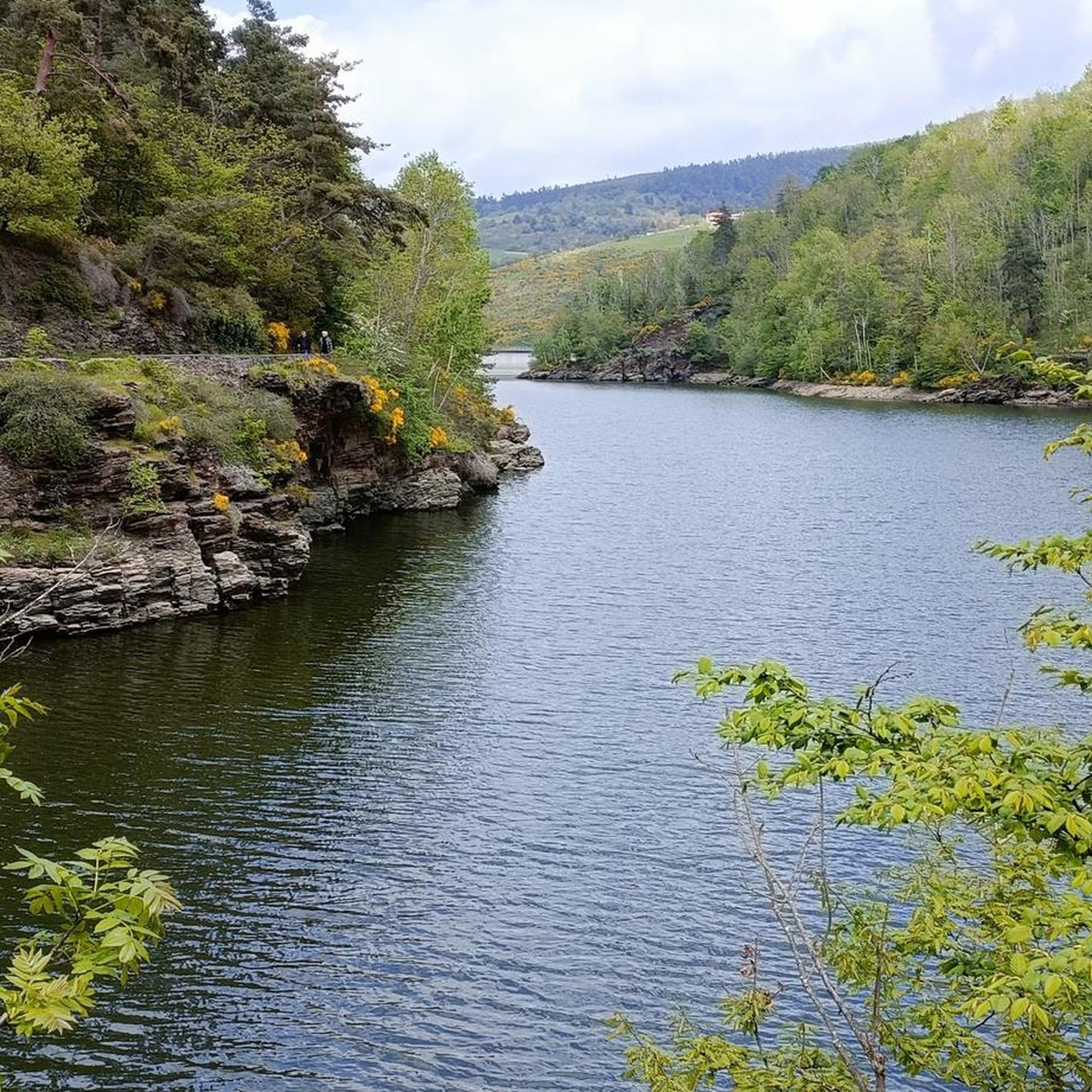
Yes, the area features several impressive dams and reservoirs. You might encounter the Rive dam spillway, Cotatay Dam, or the Gier Reservoir on various routes, offering scenic views and interesting points to pause.
What is the best time of year for touring cycling in La Talaudière?
While specific seasonal data isn't provided, the varied terrain suggests that spring and autumn would offer pleasant temperatures for cycling, with vibrant natural scenery. Summer can also be enjoyable, though it's advisable to start earlier in the day to avoid the midday heat on more exposed sections.
Are there any routes suitable for a longer, more challenging day trip?
For a longer and more challenging day trip, consider the La croix Blanche – Chemin de la fond du loup loop from Sorbiers. This difficult route spans 43.4 km and involves substantial elevation gain, typically taking nearly 4 hours to complete.
What types of landscapes will I see on the touring routes?
You'll experience a diverse range of landscapes, from open agricultural fields to dense forested sections. The routes often wind through natural spaces, offering a blend of rural charm and natural beauty, characteristic of the region's varied environment.
Most popular routes around La Talaudière
Most popular attractions around La Talaudière

Get inspired with the komoot mobile app


Explore more
Browse the best Cycling routes in other regions.
