The best running trails around Saint-Genest-Malifaux
4.8
(33)
1,218
runners
61
runs
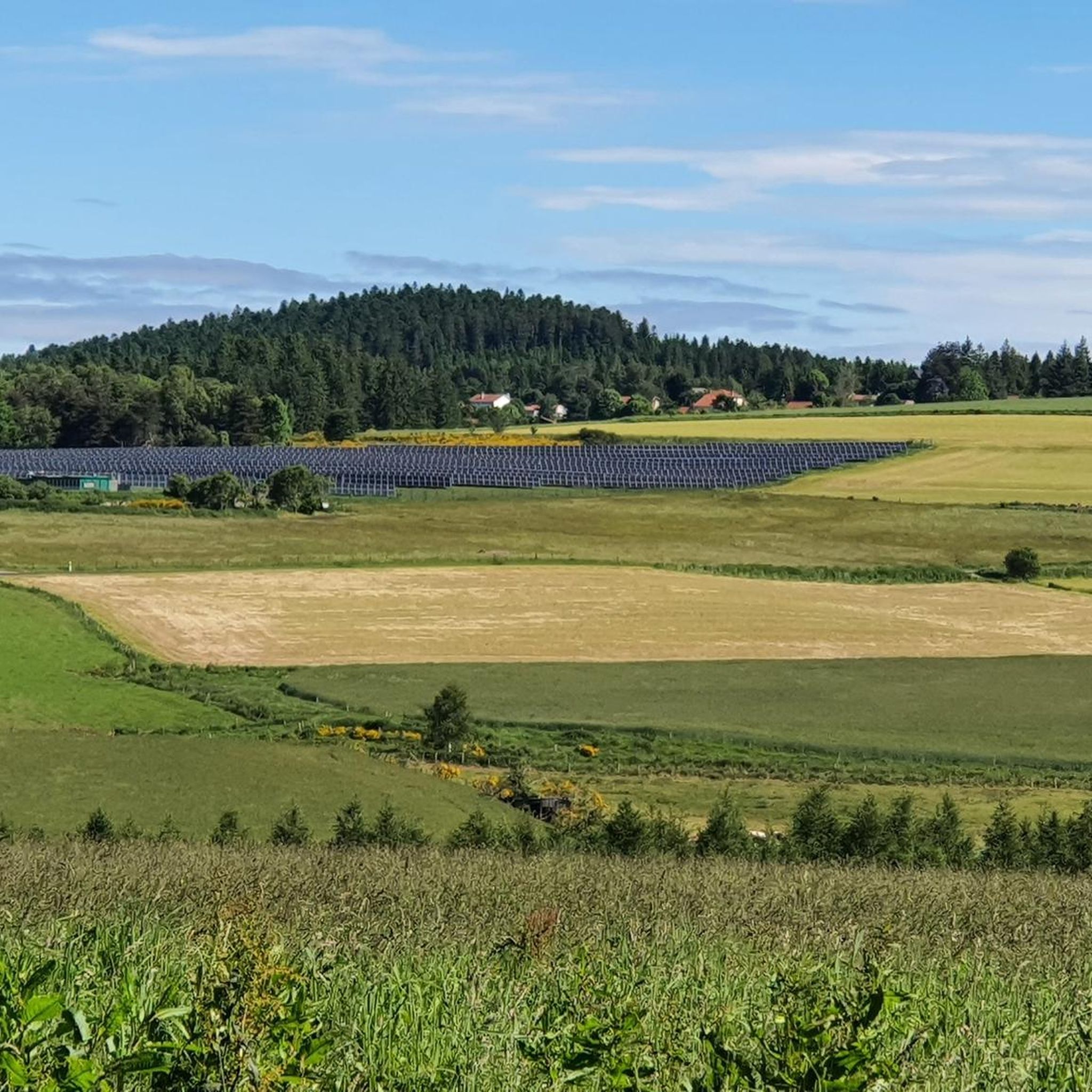
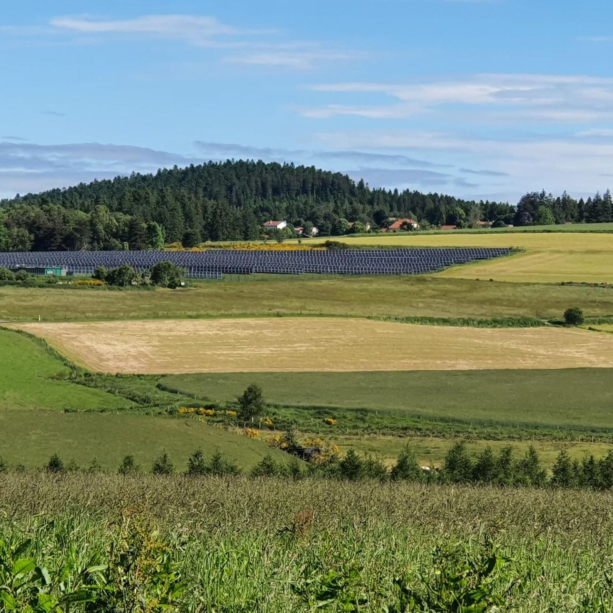
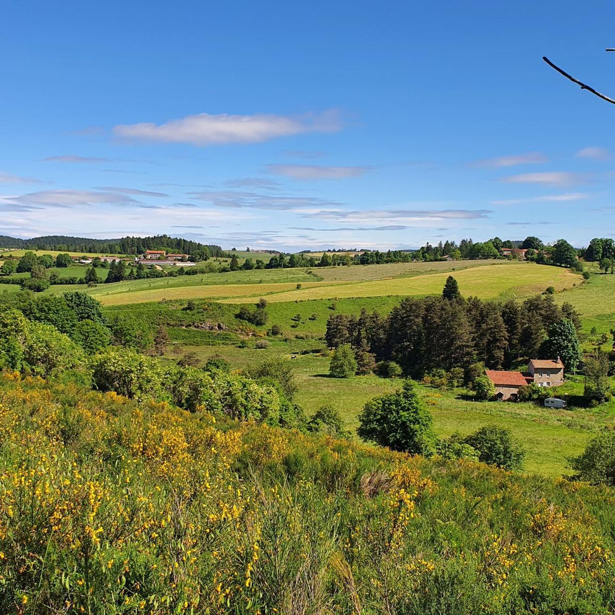
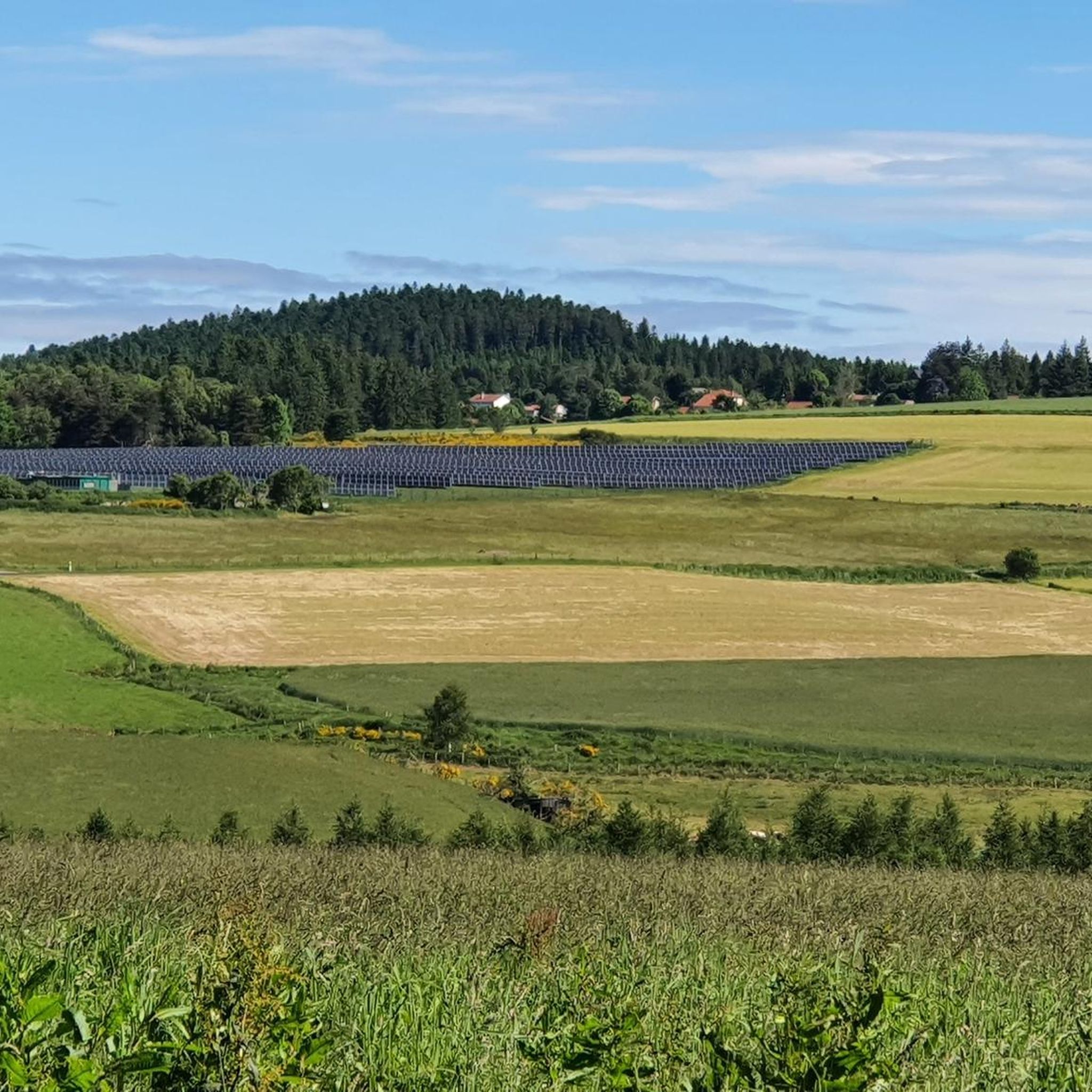
Jogging routes around Saint-Genest-Malifaux are situated within the Haut-Pilat region, part of the Parc Naturel Régional du Pilat, at an altitude of 1,000 meters. The area features diverse natural paths, including grassy trails, forest roads, and routes alongside streams. The landscape transitions from dense pine forests to clearings, with varied terrain encompassing gentle slopes and more challenging ascents. The Semène River and Sapt reservoir lake are prominent natural features, offering scenic backdrops for running.
Best jogging routes around Saint-Genest-Malifaux
- The…
Last updated: June 29, 2026
4.8
(20)
243
runners
7.42km
00:55
90m
90m
Moderate run. Good fitness required. Mostly paved surfaces. Suitable for all skill levels.
5.0
(3)
114
runners
19.4km
02:34
570m
570m
Hard run. Very good fitness required. Mostly paved surfaces. Suitable for all skill levels.

Sign up for free
87
runners
24.6km
03:07
590m
590m
Hard run. Very good fitness required. Mostly paved surfaces. Suitable for all skill levels.
72
runners
18.3km
02:21
500m
500m
Hard run. Very good fitness required. Mostly paved surfaces. Suitable for all skill levels.
43
runners
Hard run. Very good fitness required. Mostly paved surfaces. Suitable for all skill levels.
Get access to more routes and recommendations from other explorers.
Sign up for free
Already have an account?
Our route recommendations are based on thousands of hikes, rides, and runs completed by other people on komoot.
Start today with a free account
Your next adventure awaits.
Login or Signup

Tips from the Community

The Sapt dam is an impressive 18-metre-high structure. Also called the Plats dam, it is located on the course of the Semène.
0
0

Crêt de Chaussître is located at the southern end of Pilat. It offers a beautiful panorama of the Monts du Velay, Mont Mezenc, the Yssingeaux juices and the high plateaus of Forez.
0
0

Do not miss the waterfall at the foot of the dam to take a cool break
0
0

Nice example of a dam where you can walk under the structure that overlooks you. Impressive.
2
0
By mountain bike, the northern accesses are difficult, large stones, very technical. Access by chemin du Teil easier but steep and partly paved. My favorite access is through the east in the woods from Prélager (before arriving at the picnic area, take the small grassy path on the left which descends slightly)
0
0
access by the southwest path is steep with some stones. Access by the northwest path under the road is pleasant and not too steep with views over the Cotatay valley.
0
0

Frequently Asked Questions
How many running routes are available in Saint-Genest-Malifaux?
Saint-Genest-Malifaux offers a wide selection of over 50 running routes. These trails cater to various preferences, from easy jogs to more challenging runs, all set within the beautiful Haut-Pilat region.
What kind of terrain can I expect on the jogging trails in Saint-Genest-Malifaux?
The region boasts a diverse natural environment, offering a variety of paths. You can expect to run on grassy trails, forest roads, and routes that crisscross by streams. The landscape transitions from dense pine forests to clearings, with paths featuring both gentle slopes and more challenging ascents, characteristic of the medium-mountain Pilat massif.
Are there easy running routes suitable for beginners in Saint-Genest-Malifaux?
Yes, there are routes suitable for beginners. While many trails offer moderate to difficult challenges, you can find at least one easy running route. For a pleasant experience, consider the 6 km route that follows the bucolic Semène river and ventures into an enchanting forest towards the Sapt or Plats reservoir lake, as mentioned in the regional research.
Can I find challenging running routes for experienced runners in Saint-Genest-Malifaux?
Absolutely. The area is well-known for its challenging terrain, with 22 difficult running routes available. For instance, the Chaussitre Cross loop from Saint-Genest-Malifaux is a difficult 19.4 km trail with significant elevation gain through varied forest terrain, taking approximately 2 hours 33 minutes to complete.
Are there running routes that pass by natural landmarks like lakes or rivers?
Yes, many routes in Saint-Genest-Malifaux feature stunning natural landmarks. The region is traversed by the picturesque Semène River, and the Sapt reservoir lake is nestled at the foot of a coniferous forest. A popular option is the Sapt Dam loop from Saint-Genest-Malifaux, an 11.3 km trail leading through forests and around the Sapt Dam.
What do other runners enjoy most about jogging in Saint-Genest-Malifaux?
The running routes in Saint-Genest-Malifaux are highly rated by the komoot community, with an average score of 4.8 stars from over 30 reviews. Runners often praise the varied terrain, dense forests, and scenic routes along rivers and lakes. The network offers options for different ability levels, providing a rewarding experience for all.
Are there running trails with panoramic views in the Saint-Genest-Malifaux area?
Yes, as part of the Pilat Massif, Saint-Genest-Malifaux offers exceptional panoramas. Some viewpoints even extend to Mont Blanc, Mont Ventoux, and the volcanoes of Auvergne. Routes around peaks like Crêt de Chaussître or Crêt de la Perdrix are likely to provide these stunning vistas.
Are there any specific running events held in the Saint-Genest-Malifaux region?
Yes, the area is known for hosting events like the 'Trail du Haut-Pilat,' which features 100% natural courses ranging from 7 km to a 42 km 'Mara-trail.' This highlights the suitability of the terrain for trail running and jogging enthusiasts and the convivial atmosphere of the area. You can find more information about the event on the Pilat Tourisme website.
Where can I park when accessing running trails in Saint-Genest-Malifaux?
Many trails are accessible from convenient starting points. For example, the parking lot of Place du 19 mars 1962 is a known accessible location for starting your run.
Are there any circular running routes available?
Yes, many of the running routes in Saint-Genest-Malifaux are circular, allowing you to start and finish at the same point. Examples include the Crêt de Chaussître – Sapt Dam loop from Saint-Genest-Malifaux, a challenging 18.3 km path, and the Sapt Dam loop from Saint-Genest-Malifaux, an 11.3 km moderate trail.
What kind of natural sites can I explore while running in Saint-Genest-Malifaux?
While running, you'll be immersed in the Parc Naturel Régional du Pilat, known for its rich biodiversity. You can explore dense pine forests, clearings, and areas along the Semène River and Sapt Lake. The region's varied environments, including dams and traditional hamlets, add to the scenic beauty and natural exploration.
Are there any historical or cultural landmarks near the running routes?
Yes, the trails often pass through charming hamlets with traditional stone houses, offering a glimpse into the local heritage. Additionally, you might encounter landmarks such as the Rochetaillée Castle or the Gouffre d'Enfer Dam, which are notable points of interest in the wider area.
Most popular routes around Saint-Genest-Malifaux
Most popular attractions around Saint-Genest-Malifaux

Get inspired with the komoot mobile app


Explore more
Browse the best Running Trails & Routes in other regions.
