The best walks and hikes around Grandfontaine
4.5
(727)
5,552
hikers
279
hikes
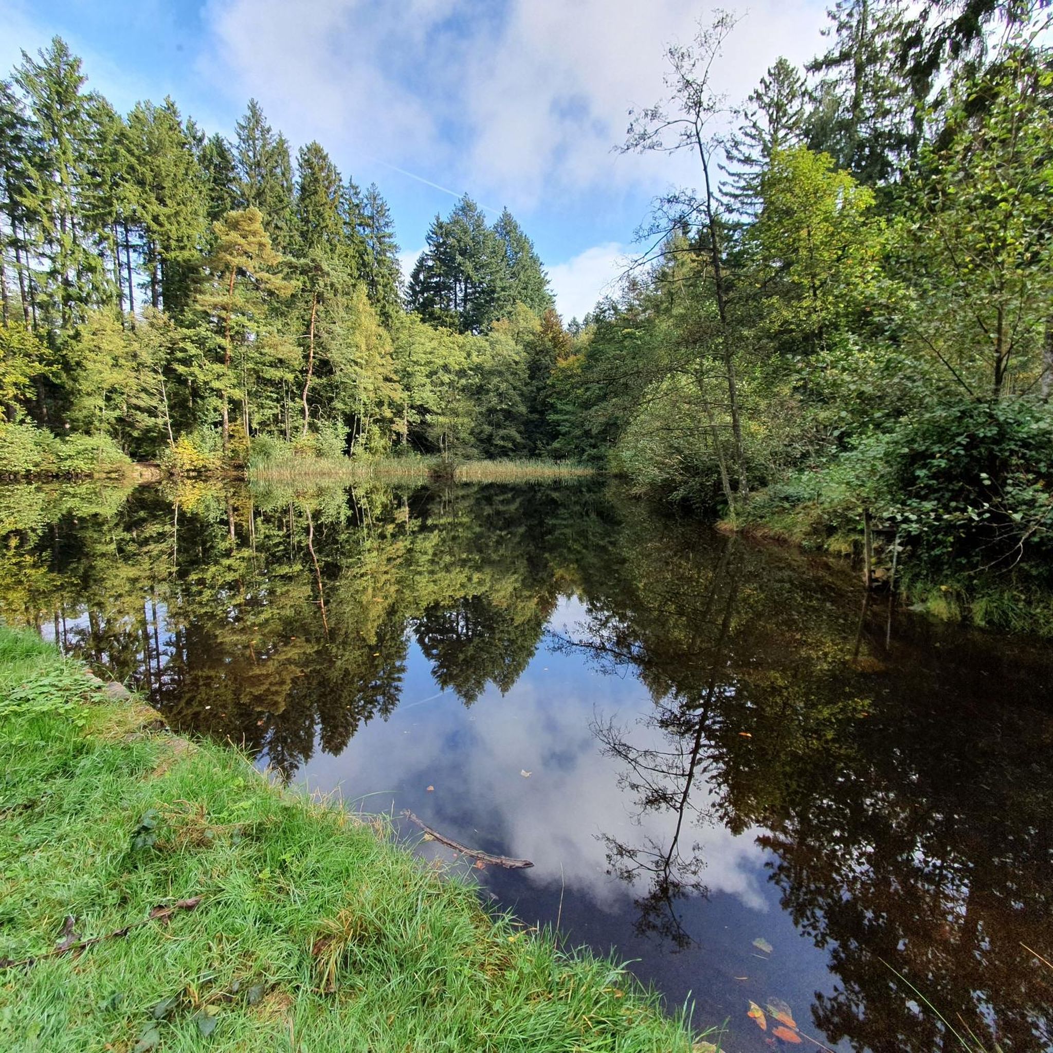
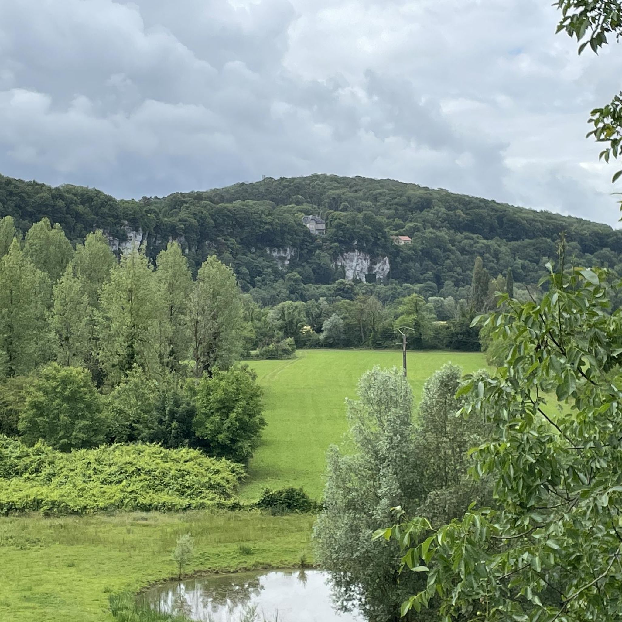
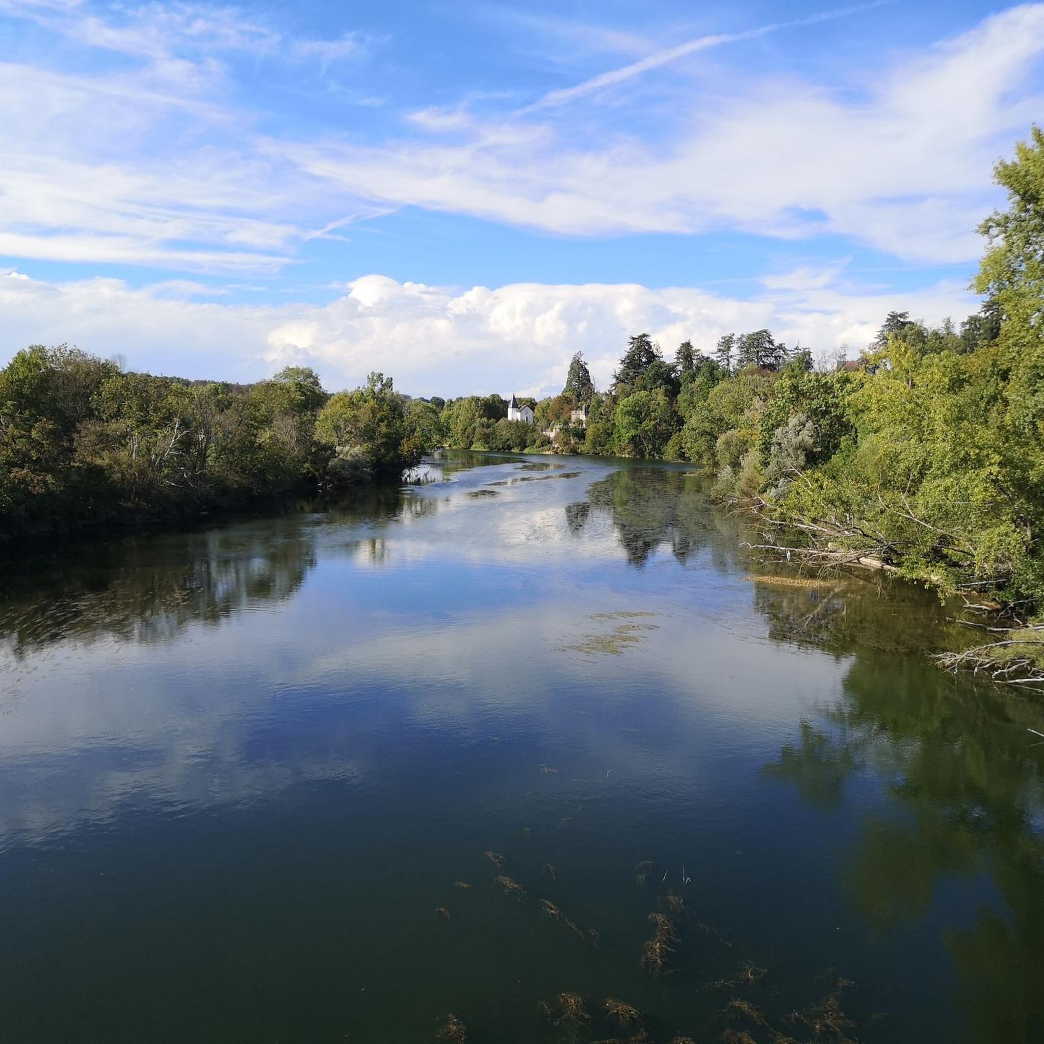
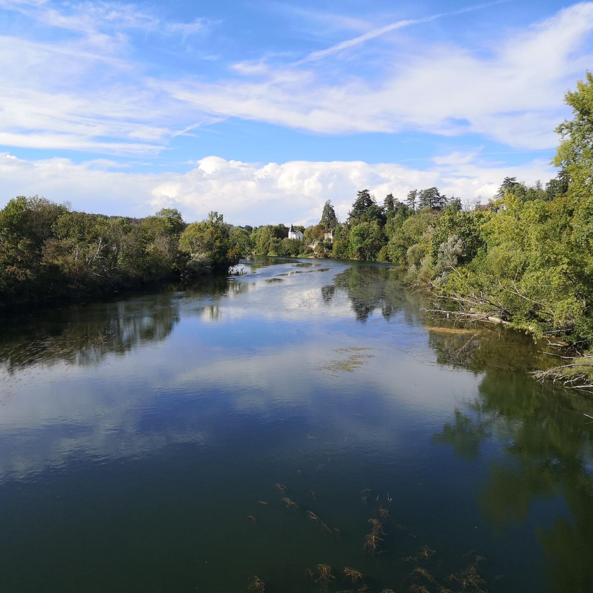
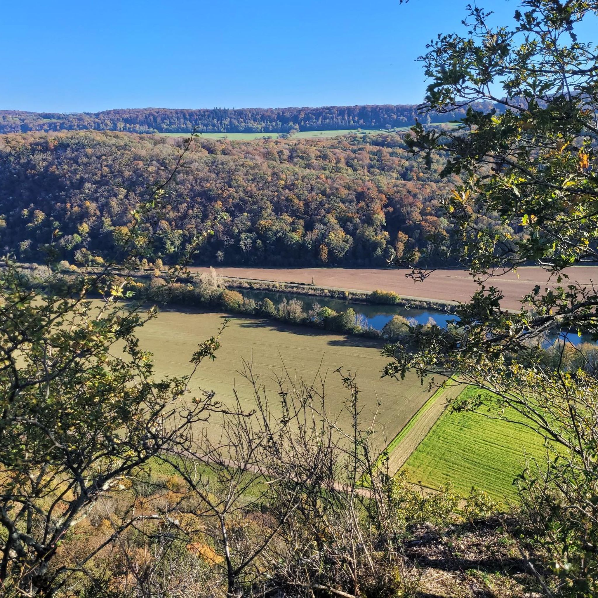
Hiking around Grandfontaine offers a diverse landscape characterized by forested hills, river valleys, and historical waterways. The region features a mix of natural paths, asphalt, gravel, paved, and unpaved sections, providing varied walking experiences. Elevations are generally moderate, offering accessible options for different hiking abilities. This area combines natural beauty with cultural points of interest for outdoor exploration.
Best hiking trails around Grandfontaine
- The most popular hiking route is Percée de Thoraise — loop by the canal du Rhône au…
Last updated: July 6, 2026
4.7
(31)
108
hikers
4.34km
01:23
170m
170m
Easy hike. Great for any fitness level. Easily-accessible paths. Suitable for all skill levels.
4.7
(11)
45
hikers
7.13km
02:01
150m
150m
Moderate hike. Good fitness required. Easily-accessible paths. Suitable for all skill levels.

Sign up for free
4.7
(29)
111
hikers
4.42km
01:23
160m
160m
Easy hike. Great for any fitness level. Easily-accessible paths. Suitable for all skill levels.
4.5
(2)
36
hikers
10.1km
02:52
230m
230m
Moderate hike. Good fitness required. Easily-accessible paths. Suitable for all skill levels.
4.3
(4)
27
hikers
8.69km
02:14
40m
40m
Moderate hike. Good fitness required. Easily-accessible paths. Suitable for all skill levels.
Get access to more routes and recommendations from other explorers.
Sign up for free
Already have an account?
Our route recommendations are based on thousands of hikes, rides, and runs completed by other people on komoot.
Start today with a free account
Your next adventure awaits.
Login or Signup
Tips from the Community

Lock in the connecting canal to the ship tunnel, approx. 3-4 m high.
2
0
A ship tunnel (1810) that can be walked through from the side as a shortcut for the Le Doubs river canal. On the other side of the canal there is a lock about 3-4 m high. There is a water curtain at both portals and the interior is beautifully and decoratively lit. Worth seeing.
2
0

It is also possible to walk through the tunnel.
5
0


In honor of the dead of the First World War
2
0

Particularly impressive in good weather ☀️
2
0

You can go through on foot on a special footbridge or go through with the (house) - boat. The additional lighting is attached to the tunnel ceiling in the form of a chain of running lights. The water curtain at the end of the tunnel is turned off just before passing.
8
0

Unfortunately, you cannot drive through this channel tunnel. It's over the hill for that.
6
0
Frequently Asked Questions
How many hiking trails are available around Grandfontaine?
The Grandfontaine area offers a wide selection of nearly 300 hiking routes. These range from over 125 easy paths, ideal for a relaxed stroll, to 149 moderate trails for those seeking a bit more challenge, and 24 difficult routes for experienced hikers.
Are there easy, family-friendly hikes in Grandfontaine?
Yes, Grandfontaine is well-suited for families with over 125 easy routes. A great option is the Percée de Thoraise — loop by the canal du Rhône au Rhin. This 4.3 km (2.7 miles) trail follows the historic canal, offering flat terrain and pleasant water views, making it accessible for all ages.
What kind of terrain can I expect on hikes around Grandfontaine?
Hiking around Grandfontaine features a diverse landscape. You'll find gentle paths alongside historical canals, as well as more undulating trails through dense woodlands and along scenic ridges. Elevations are generally moderate, providing a good mix of accessible and slightly more challenging terrain.
Are there any circular walks in the Grandfontaine area?
Yes, many routes in Grandfontaine are circular, allowing you to start and end at the same point. For example, the Our Lady of the Mount Chapel – Thoraise Tunnel loop from Thoraise is a moderate 7.7 km (4.8 miles) trail that takes you through forested hills and past historical sites. Another option is the easy Monument and church in Thoraise loop from Thoraise.
What are some interesting landmarks or attractions to see along the trails?
The Grandfontaine region is rich in historical and natural points of interest. You can explore sites like the Thoraise Tunnel, which is part of the historic canal system. The area also features impressive structures like the Citadel of Besançon and the Porte Noire (Black Gate), offering glimpses into the region's past.
What do other hikers say about the trails in Grandfontaine?
The trails in Grandfontaine are highly regarded by the komoot community, boasting an average rating of 4.5 stars from over 660 reviews. Hikers often praise the region's blend of natural beauty, varied terrain, and the presence of historical waterways, making for a rewarding outdoor experience.
Are there any moderate trails for a more challenging hike?
Absolutely. Grandfontaine offers 149 moderate trails for those looking for a longer or more varied hike. The Crête and Bois Rapin Trail is a popular moderate option, covering 7.1 km (4.4 miles) through forested areas and along a ridge, providing diverse scenery.
Is it possible to hike near Grandfontaine in winter?
While the guide focuses on general hiking, the region's forested hills and canal paths can offer beautiful winter scenery. However, conditions can vary, so it's always recommended to check local weather forecasts and trail conditions before heading out for a winter hike. Some paths might become slippery or less accessible.
Are there any hikes that offer views of historical sites or architecture?
Yes, several routes incorporate historical elements. For instance, the Our Lady of the Mount Chapel – Thoraise Tunnel loop from Thoraise passes by historical sites. The region's connection to the Rhône au Rhin canal also means you'll encounter historical waterways and structures like the Thoraise Tunnel.
What is the typical duration for hikes in this area?
Hike durations vary significantly depending on the trail's length and difficulty. Easy routes like the Percée de Thoraise — loop by the canal du Rhône au Rhin can be completed in about 1 hour 22 minutes. Moderate trails, such as the Crête and Bois Rapin Trail, typically take around 2 hours. Longer or more challenging routes will naturally require more time.
Are there any hikes that follow the canal?
Yes, the region is known for its historical waterways. The Percée de Thoraise — loop by the canal du Rhône au Rhin is an excellent example, offering a flat and scenic walk directly alongside the canal. These paths are generally easy and provide a unique perspective on the area's engineering heritage.
Most popular routes around Grandfontaine
Most popular attractions around Grandfontaine

Get inspired with the komoot mobile app


Explore more
Browse the best Hikes in other regions.
