The best walks and hikes around Miserey-Salines
4.4
(738)
5,678
hikers
354
hikes
Hiking around Miserey-Salines offers access to a network of trails through varied terrain in the Doubs department of France. The region is characterized by rolling hills, dense woodlands, and river valleys, providing diverse natural environments for outdoor activities. Trails often follow streams and lead to elevated points, offering views of the surrounding countryside. The landscape is generally accessible, with options ranging from gentle walks to more challenging ascents.
Best hiking trails around Miserey-Salines
- The most popular hiking route is Le…
Last updated: July 6, 2026
5.0
(1)
18
hikers
20.3km
05:47
470m
470m
Hard hike. Very good fitness required. Easily-accessible paths. Suitable for all skill levels.
4.5
(2)
12
hikers
7.72km
02:05
110m
110m
Moderate hike. Good fitness required. Easily-accessible paths. Suitable for all skill levels.

Sign up for free
4.0
(3)
10
hikers
4.52km
01:14
60m
70m
Easy hike. Great for any fitness level. Easily-accessible paths. Suitable for all skill levels.
13
hikers
6.58km
01:57
200m
200m
Easy hike. Great for any fitness level. Easily-accessible paths. Suitable for all skill levels.
4
hikers
6.67km
01:48
80m
80m
Easy hike. Great for any fitness level. Easily-accessible paths. Suitable for all skill levels.
Get access to more routes and recommendations from other explorers.
Sign up for free
Already have an account?
Our route recommendations are based on thousands of hikes, rides, and runs completed by other people on komoot.
Start today with a free account
Your next adventure awaits.
Login or Signup
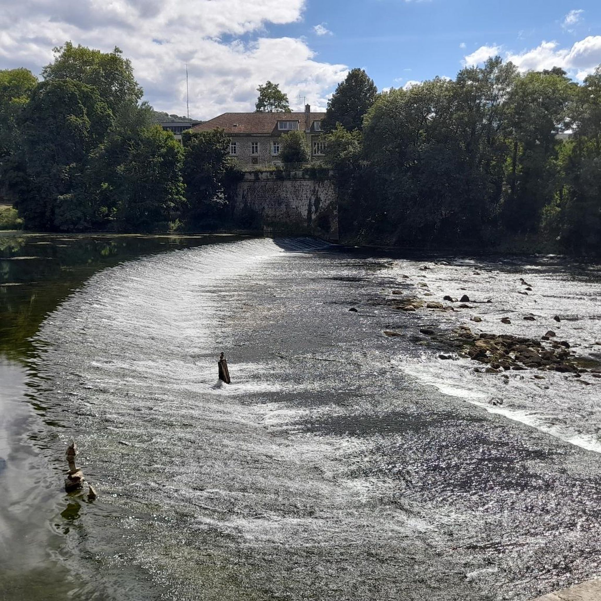
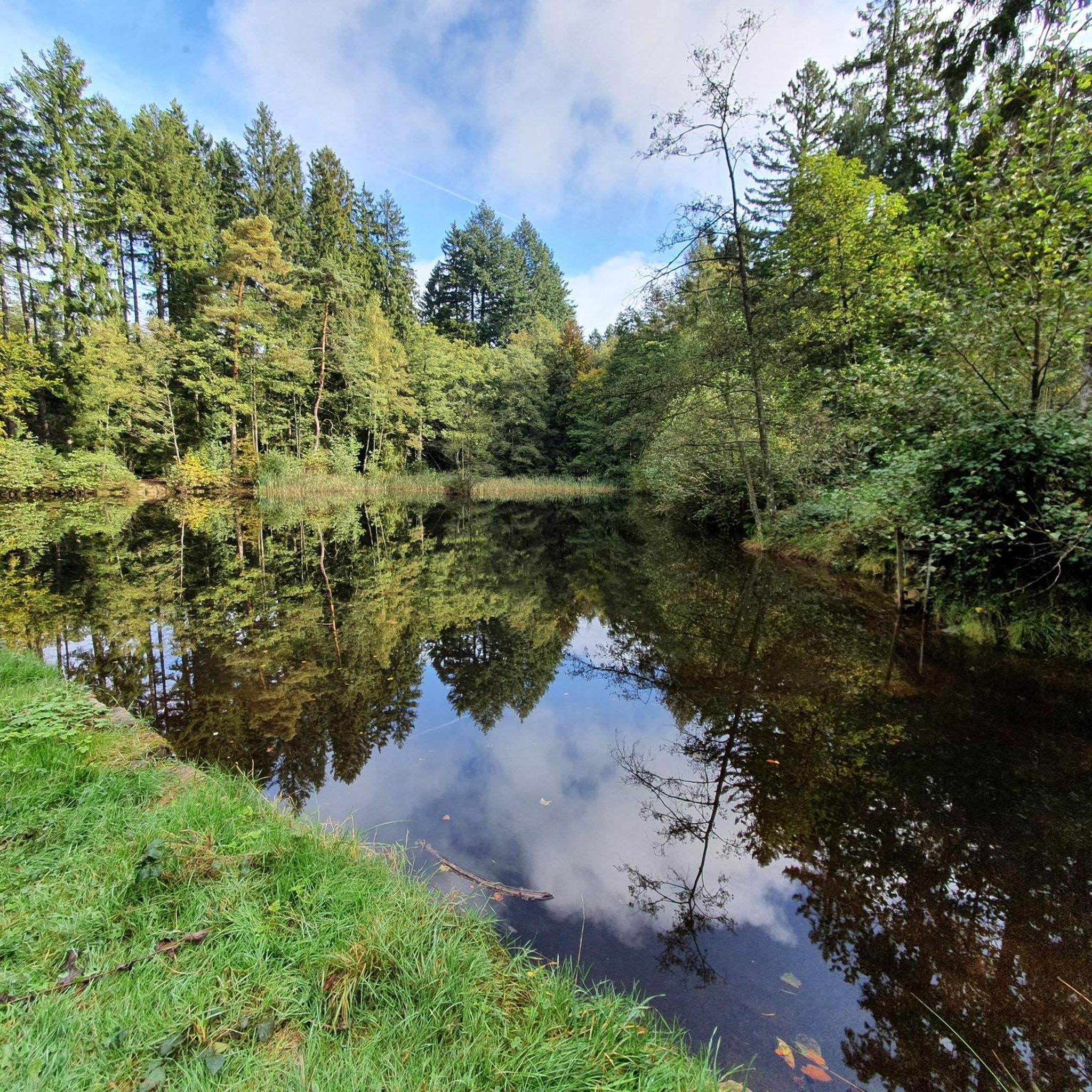
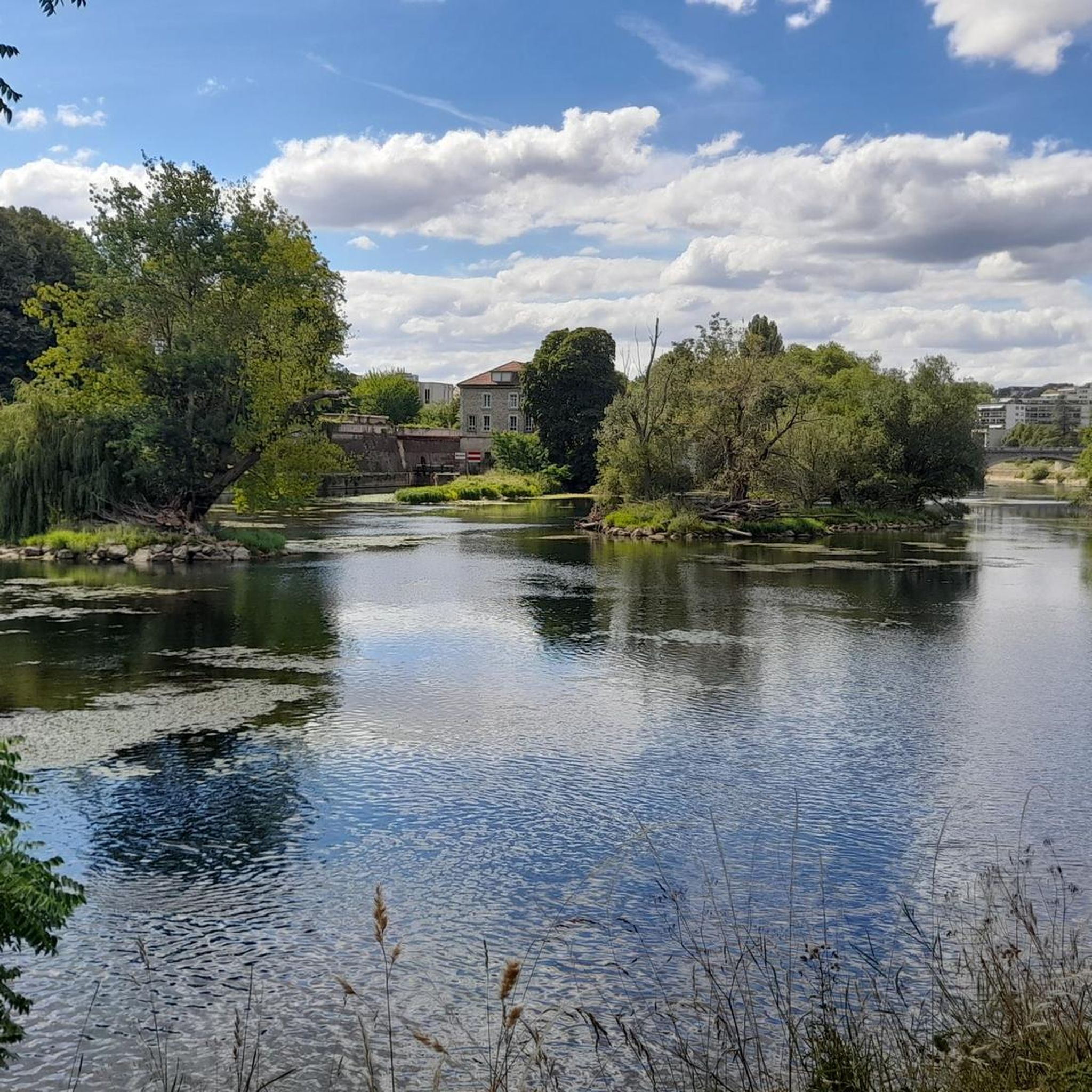
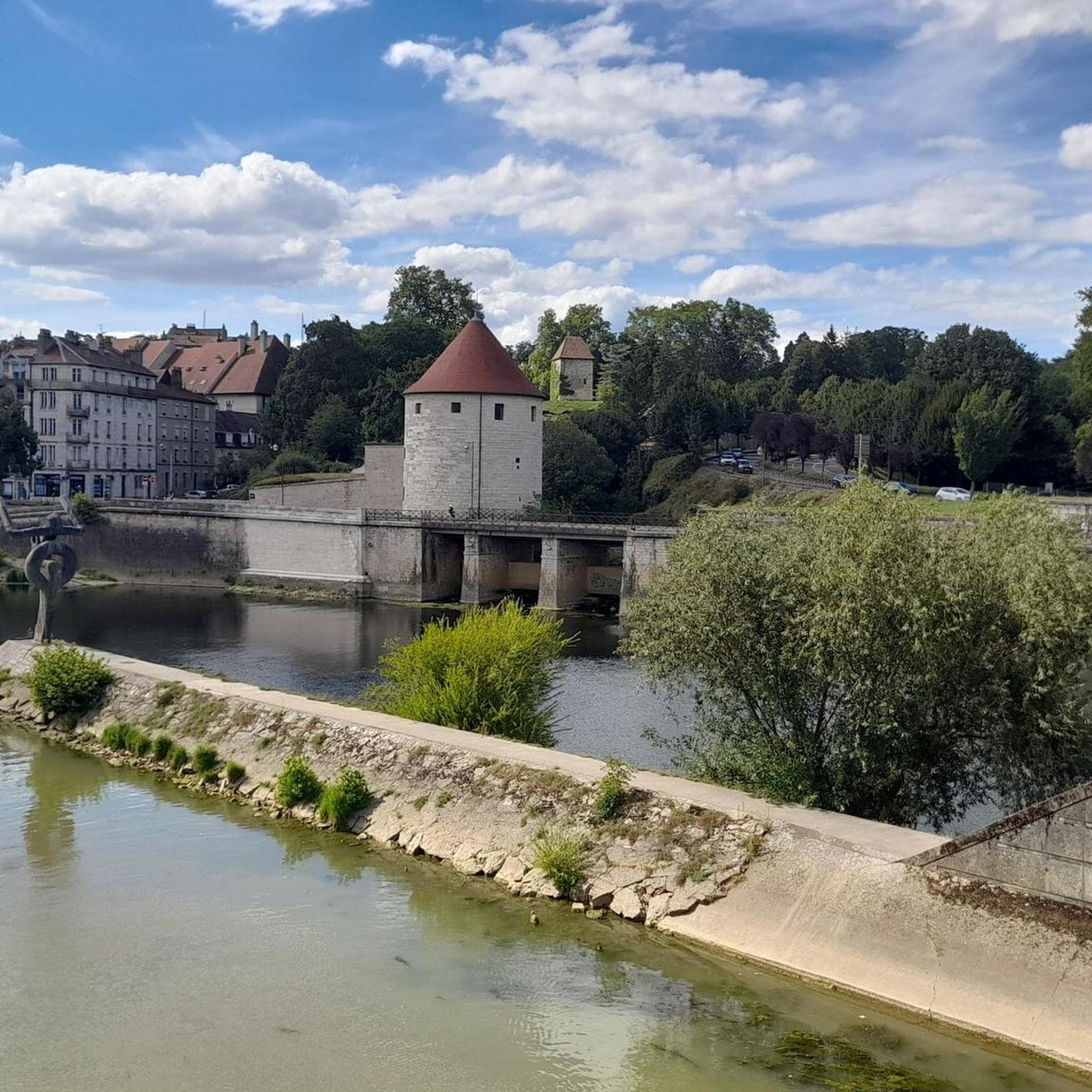
Tips from the Community

Very beautiful hike and wonderful view... in good weather!
0
0

Scattered along the forest trails around Châtillon-le-Duc and Tallenay, royal boundary stones mark former state territories. Engraved with the fleur-de-lis or royal letters, they served to demarcate the royal forests under the Ancien Régime. Today, they discreetly mark the paths.
1
0
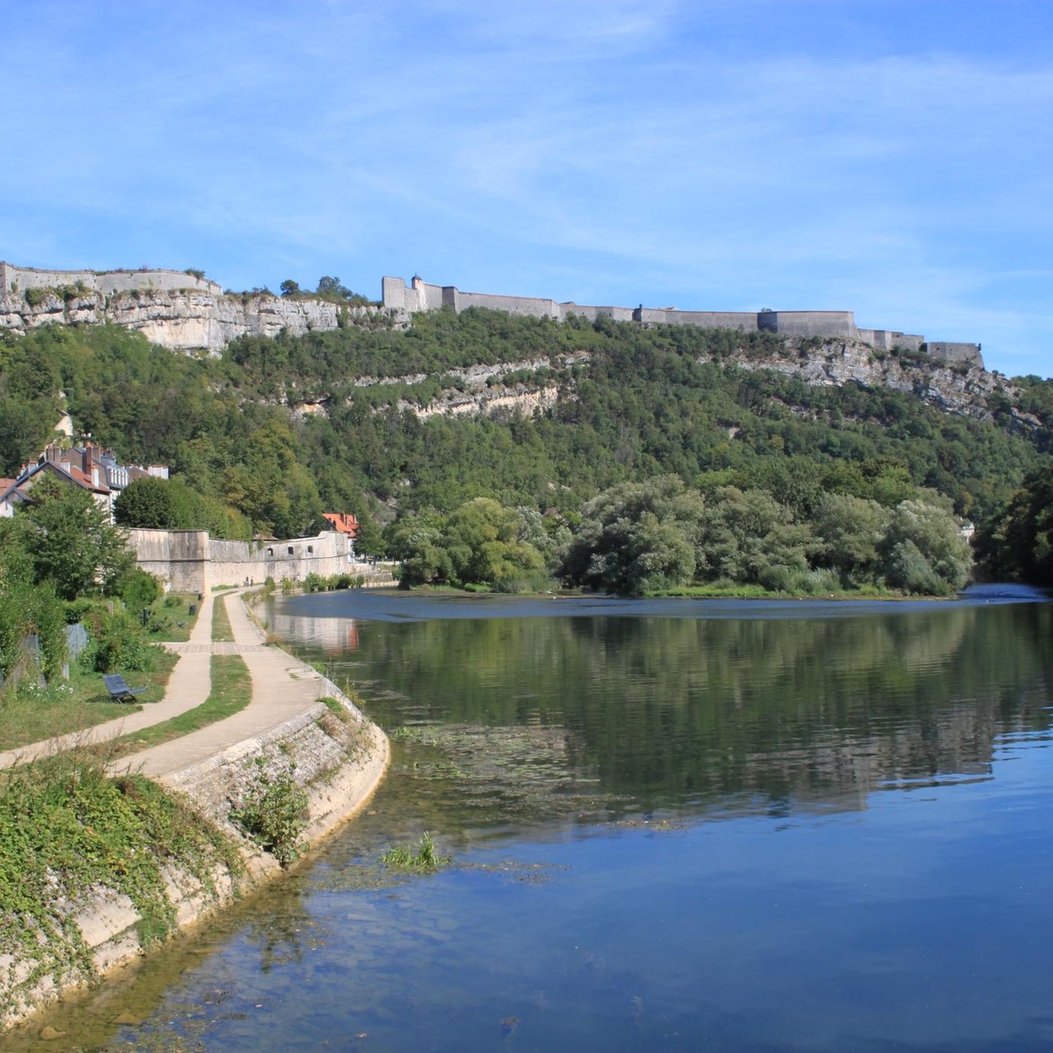
Perched north of Besançon, Châtillon-le-Duc overlooks the Ognon Valley from its rocky outcrop. Here you'll discover the remains of a former 19th-century military fort, built on the ruins of a feudal castle.
1
0

Here you can enjoy nature in peace and quiet
0
0


The Vieux Tilleul, also called the Gros Tilleul, is an approximately 400-year-old tree that can be found in the Chailluz Forest. This magnificent tree with twisted branches sees its roots planted on the beginning of the ridge leading to the Fort de la Dame Blanche. =============== The Vieux Tilleul, also called the Gros Tilleul, is a tree about 400 years old that can be found in the Forest of Chailluz. This beautiful tree with twisted branches sees its roots planted in the beginning of the ridge leading to the Fort de la Dame Blanche.
1
0
A beautiful view from Fort de la Dame Blanche (also known as Fort de Chailluz). Be careful of the cliff, the fort is also a reserved military zone. ============= A nice view from fort of the Dame Blanche (also known as the fort of Chailluz). Be careful of the cliff, the fort is also a military restricted area. https://fr.wikipedia.org/wiki/Fort_de_Chailluz
3
1
Frequently Asked Questions
How many hiking trails are available around Miserey-Salines?
There are over 350 hiking trails around Miserey-Salines, offering a wide range of options from easy strolls to more challenging routes through the region's woodlands and river valleys.
Are there any easy or beginner-friendly hiking trails in Miserey-Salines?
Yes, Miserey-Salines offers many easy trails suitable for beginners. For a gentle introduction, consider the Ruisseau de la Vallée loop from Miserey-Salines, an easy 4.2-mile (6.8 km) path that follows a stream through local woodlands.
What are some good circular walks around Miserey-Salines?
Many trails in the area are circular, allowing you to start and end at the same point. The Hiking loop from Miserey-Salines is a good option, covering 4.1 miles (6.6 km) with moderate elevation changes, offering a pleasant loop experience.
Are there any family-friendly hiking routes in the area?
Absolutely. The region has several trails perfect for families. The Château d'École loop from École-Valentin is an easy 2.8-mile (4.5 km) trail that leads through historical sites and open countryside, suitable for all ages.
Can I bring my dog on the hiking trails around Miserey-Salines?
Many trails in the Miserey-Salines area are dog-friendly, especially those through woodlands and open countryside. It's generally recommended to keep dogs on a leash, particularly near wildlife or livestock, and to check specific trail regulations if available. Always carry water for your pet.
What kind of natural attractions or landmarks can I see while hiking?
The region boasts several interesting natural and historical landmarks. You might encounter the Bout du Monde Waterfall, the unique The Holed Rock, or even the Chère Cave. For historical sites, the impressive Citadel of Besançon is a prominent nearby attraction, offering great views.
Is there public transport available to reach hiking trailheads?
Miserey-Salines is part of the Grand Besançon Métropole, which operates a public transport network (Ginko). While some trailheads might be accessible via bus, it's advisable to check specific routes and schedules on the Ginko website for the most accurate information regarding access to your chosen starting point.
Where can I find parking near the hiking trails?
Parking is generally available in the villages and towns near popular trailheads, such as Miserey-Salines itself or École-Valentin. Look for designated public parking areas. For specific routes, it's often helpful to check the komoot tour details, as users frequently share parking information in their tour descriptions or comments.
What is the best time of year to hike in Miserey-Salines?
The best time to hike in Miserey-Salines is typically from spring to autumn (April to October). During these months, the weather is generally mild and pleasant, with lush greenery in spring and vibrant foliage in autumn. Summer offers longer daylight hours, but trails can be busier. Winter hiking is possible but may require appropriate gear for colder, potentially icy conditions.
What do other hikers enjoy most about hiking in Miserey-Salines?
The area is highly rated by the komoot community, with an average score of 4.5 stars from over 600 reviews. Reviewers often praise the quiet woodlands, the varied terrain suitable for different skill levels, and the well-maintained paths that make for an enjoyable outdoor experience.
Are there any challenging hikes for experienced hikers?
Yes, for experienced hikers seeking a challenge, the region offers more demanding routes. The Le Vieux Tilleul – Fort de la Dame Blanche loop from École-Valentin is a difficult 12.6-mile (20.3 km) trail with significant elevation gain, providing a strenuous and rewarding experience.
Most popular routes around Miserey-Salines
Most popular attractions around Miserey-Salines

Get inspired with the komoot mobile app


Explore more
Browse the best Hikes in other regions.
