The best running trails around Labastide-Du-Haut-Mont
167
runners
16
runs
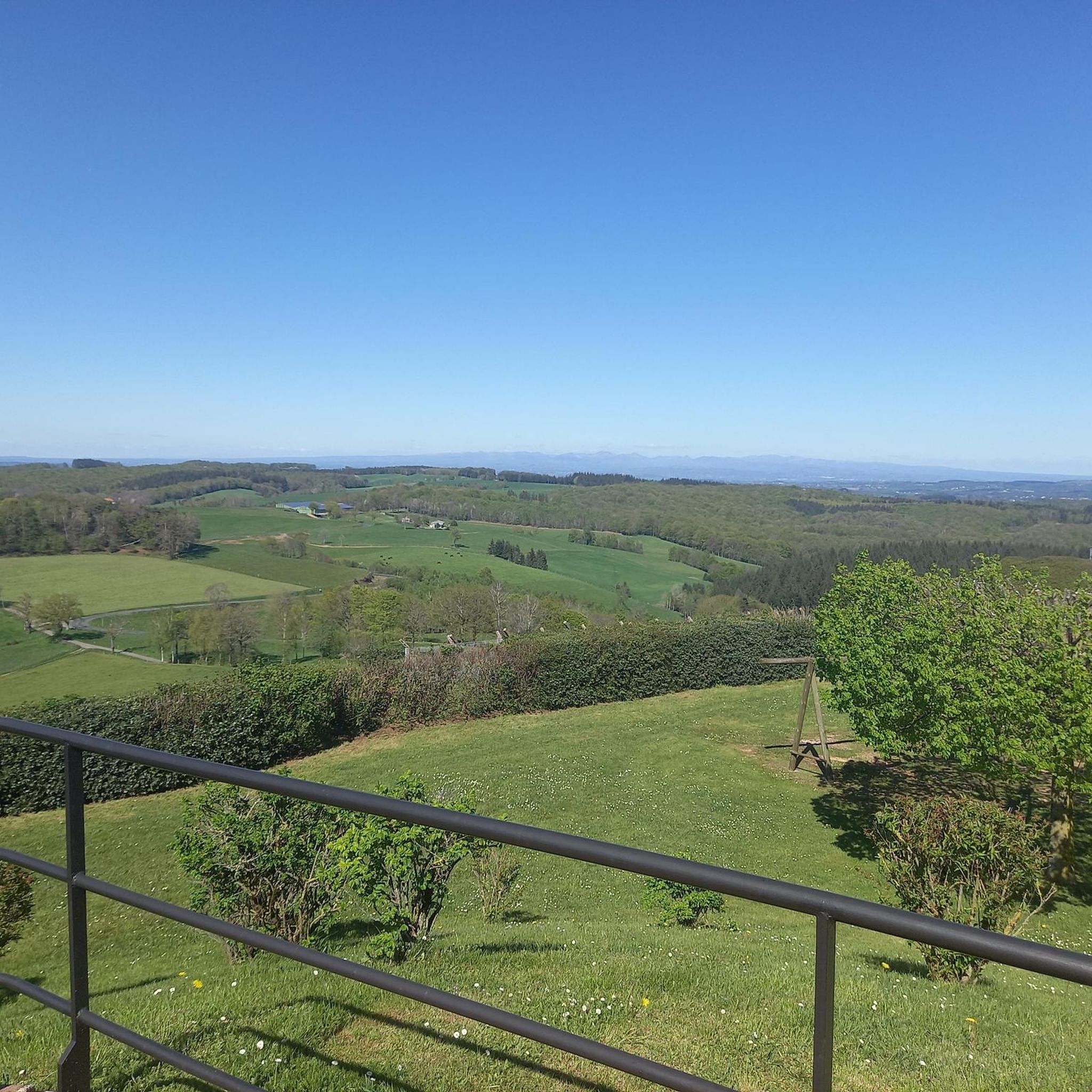
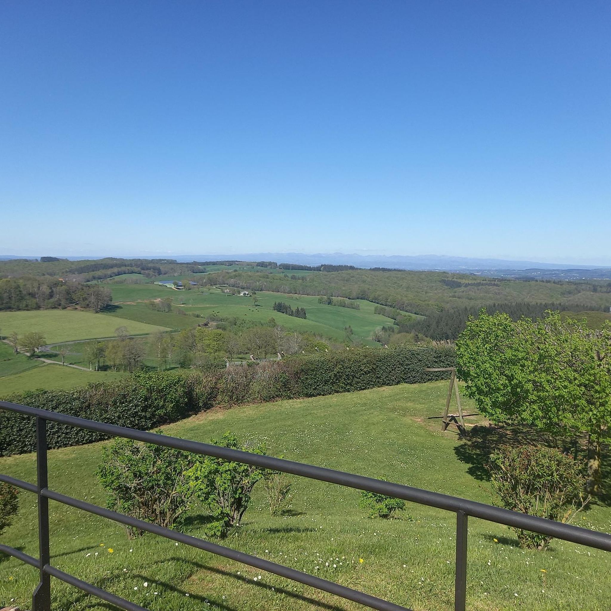
Jogging around Labastide-Du-Haut-Mont offers routes through the Ségala lotois, a region characterized by rolling hills, diverse forests of chestnut, beech, and fir, and cultivated fields. The area includes the highest point in the Lot department, providing varied terrain with inclines and descents. Winding streams are present along many routes, adding to the natural setting. This environment, with altitudes ranging from 400 to 788 meters, provides a backdrop of the Auvergne mountains.
Best jogging routes around Labastide-Du-Haut-Mont
- The most popular jogging…
Last updated: June 29, 2026
12
runners
10.4km
01:15
170m
170m
Moderate run. Good fitness required. Mostly paved surfaces. Suitable for all skill levels.
12
runners
15.8km
01:50
240m
240m
Hard run. Very good fitness required. Mostly paved surfaces. Suitable for all skill levels.

Sign up for free
9
runners
14.9km
01:48
260m
260m
Moderate run. Good fitness required. Mostly paved surfaces. Suitable for all skill levels.
4
runners
9.86km
01:11
170m
170m
Moderate run. Good fitness required. Mostly paved surfaces. Suitable for all skill levels.
6
runners
3.03km
00:19
20m
20m
Easy run. Great for any fitness level. Mostly paved surfaces. Suitable for all skill levels.
Get access to more routes and recommendations from other explorers.
Sign up for free
Already have an account?
Our route recommendations are based on thousands of hikes, rides, and runs completed by other people on komoot.
Start today with a free account
Your next adventure awaits.
Login or Signup


Tips from the Community


With a restaurant and public restrooms nearby, this picnic area is the perfect place to stop or have lunch during your hike.
3
0
This lake is the largest artificial lake in the Lot department. With this varied plan, the shores of this lake make for an excellent hiking trail.
3
0

Body of water with many facilities: playground for children, picnic tables, barbecues. A 1.7 km trail circles the lake.
1
0
Frequently Asked Questions
What kind of terrain can I expect on the running routes around Labastide-Du-Haut-Mont?
The region, part of the Ségala lotois, is characterized by rolling hills, diverse forests of chestnut, beech, and fir, and cultivated fields. You'll encounter varied topography with inclines and descents, providing a dynamic running experience. Winding streams are also present along many routes, adding to the natural setting.
Are there running routes suitable for beginners or those looking for an easier jog?
Yes, while many routes feature varied terrain and elevation changes, there are options for different ability levels. For example, the area offers 1 easy route and 13 moderate routes out of a total of 16, ensuring there are paths suitable for a more relaxed pace.
What are some notable natural features or landmarks I might see while running in the area?
Labastide-Du-Haut-Mont is the highest point in the Lot department, offering expansive views of the Auvergne mountains. You'll also find wild forests, picturesque meadows, and active streams. The nearby Lake Tolerme is a significant natural attraction, and you might pass through charming settlements like Lacam-d'Ourcet Village.
Are there any circular running routes in Labastide-Du-Haut-Mont?
Yes, many of the running paths in the area are designed as loops, offering a convenient way to start and finish your run in the same location. An example is the Running loop from Le Cassan, which covers 5.6 km.
What do other runners think about the trails in Labastide-Du-Haut-Mont?
The running routes in Labastide-Du-Haut-Mont are highly rated by the komoot community, with an average score of 4.5 stars from 4 reviews. Over 290 runners have used komoot to explore the varied terrain, often praising the scenic landscapes and diverse paths.
Can I bring my dog on the running trails?
The region is generally very welcoming to outdoor enthusiasts, and many trails are suitable for dogs. However, it's always recommended to keep your dog on a leash, especially when passing through cultivated fields or near livestock, and to respect local signage regarding pet access.
What is the best time of year to go running in Labastide-Du-Haut-Mont?
The varied topography and presence of winding streams make the area enjoyable throughout much of the year. Spring and autumn offer pleasant temperatures and beautiful scenery with changing foliage. Even in summer, the wild forests provide shade, and the active streams add a refreshing atmosphere to the routes.
Are there any running routes that pass by water features?
Yes, the region is known for its active, winding streams, which are present along many routes, even during summer. Additionally, the Lake Tolerme is a significant water body nearby, offering opportunities for runs around its perimeter or as a destination.
How long are the typical running routes in this area?
The routes vary in length to suit different preferences. For instance, the Running loop from Le Cassan is about 5.6 km, while other routes like the Étang de Maurian loop from Parlan extend to nearly 15 km, offering options for shorter jogs or longer endurance runs.
Is there parking available near the trailheads?
While specific parking details for every trailhead are not always listed, the region is well-equipped for outdoor activities, and many marked trails often have designated parking areas in nearby villages or at common starting points. It's advisable to check local information or maps for specific route access points.
Are there any facilities like picnic areas along the routes?
Yes, for those looking to take a break or enjoy the scenery, there is a dedicated Picnic area by the water, which can be a pleasant stop during or after your run.
Most popular routes around Labastide-Du-Haut-Mont
Most popular attractions around Labastide-Du-Haut-Mont

Get inspired with the komoot mobile app


Explore more
Browse the best Running Trails & Routes in other regions.
