The best walks and hikes around Scy-Chazelles
4.7
(122)
659
hikers
47
hikes
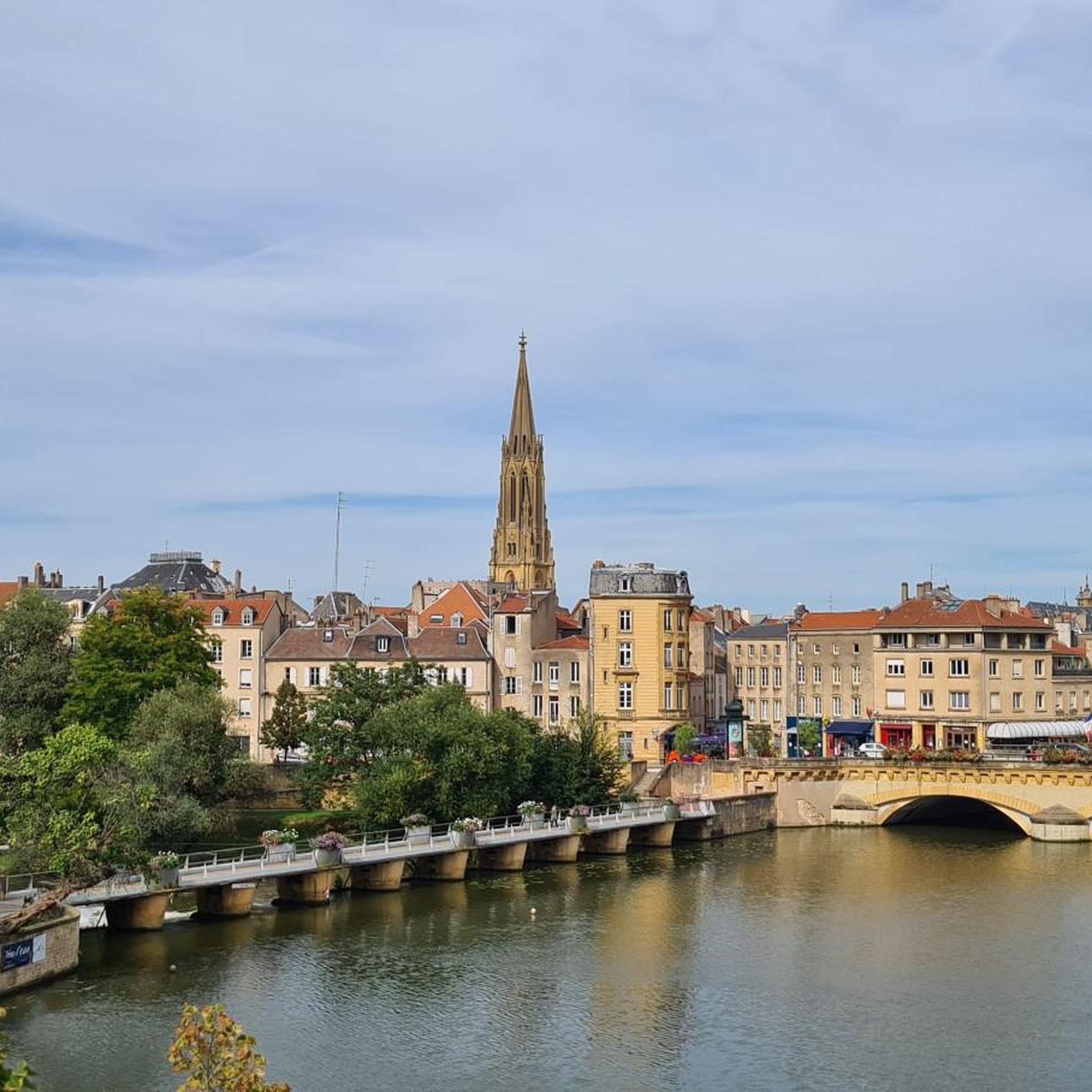
Hiking around Scy-Chazelles offers diverse landscapes, characterized by picturesque, sloping streets and lush forests. The region is nestled on the slopes of Mont Saint-Quentin, providing panoramic views of the Metz Métropole area and the Moselle valley. The Moselle River is a prominent natural feature, with trails offering various viewpoints. This former wine-growing village presents a unique blend of natural beauty and historical elements for hikers.
Best hiking trails around Scy-Chazelles
- The most popular hiking route is Saint-Remy Church – Fort…
Last updated: August 19, 2026
4.6
(34)
90
hikers
8.28km
02:23
210m
210m
Moderate hike. Good fitness required. Easily-accessible paths. Suitable for all skill levels.
4.7
(22)
97
hikers
10.1km
02:47
170m
170m
Moderate hike. Good fitness required. Easily-accessible paths. Suitable for all skill levels.

Sign up for free
5.0
(6)
23
hikers
3.63km
01:00
60m
60m
Easy hike. Great for any fitness level. Easily-accessible paths. Suitable for all skill levels.
4.8
(11)
56
hikers
Easy hike. Great for any fitness level. Easily-accessible paths. Suitable for all skill levels.
4.8
(4)
53
hikers
6.19km
01:44
130m
130m
Easy hike. Great for any fitness level. Easily-accessible paths. Suitable for all skill levels.
Get access to more routes and recommendations from other explorers.
Sign up for free
Already have an account?
Our route recommendations are based on thousands of hikes, rides, and runs completed by other people on komoot.
Start today with a free account
Your next adventure awaits.
Login or Signup
Tips from the Community

A lovely spot with a view of the Moselle valley, not to be missed early in the morning when the sun rises!
0
0

More specifically, as mentioned in the previous comment, the building partially collapsed. Apparently, it was vandalism perpetrated by a worthless individual who has nothing to contribute to society.
0
0

I went there today, July 14, 2025, and I was shocked to discover that it had been destroyed... 😱😢
1
0

Coming from le Ban-Saint-Martin, a beautiful winding road leads up through the forest (Route Touristique). Coming from Scy-Chazelles, the road is straight and quite steep uphill!
1
0

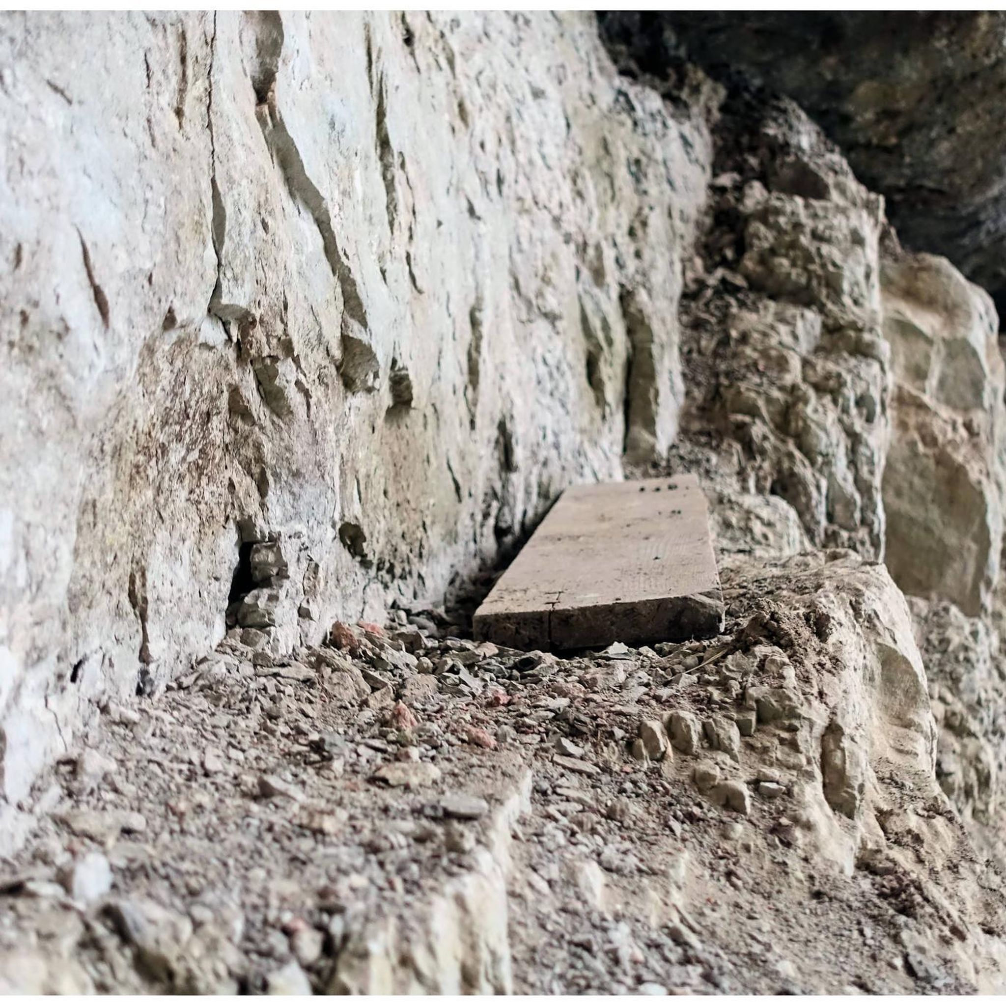
The gentleman's cadolle is a stone cabin built by a nobleman in the 18th century.
3
0

Safety work begins here, very dilapidated
1
0
great view of Metz and the surrounding area, rubbish bins but no benches
1
0
Frequently Asked Questions
How many hiking trails are available in Scy-Chazelles?
There are over 40 hiking trails around Scy-Chazelles, offering a variety of experiences for different skill levels. You'll find everything from easy strolls to more challenging routes through the region's diverse landscapes.
What are the typical difficulty levels for hikes in Scy-Chazelles?
The trails in Scy-Chazelles cater to various fitness levels. You'll find a good selection of easy paths, with 24 routes suitable for all, and 17 moderate hikes for those seeking a bit more challenge. There is also one difficult route for experienced hikers.
Are there any circular walks around Scy-Chazelles?
Yes, many of the trails in Scy-Chazelles are circular, allowing you to start and end at the same point. For example, the Saint-Remy Church – Fort Giraudon loop from Scy-Chazelles is a popular moderate circular route, and the Tank turret – Vallon des Bruyères loop from Plappeville offers an easy circular option.
What kind of terrain can I expect on hikes in Scy-Chazelles?
Hiking in Scy-Chazelles features a mix of picturesque, sloping streets, lush forests, and paths offering panoramic views. You'll encounter varied terrain, from gentle forest paths to routes with moderate elevation changes, especially around Mont Saint-Quentin and the Moselle valley.
What historical sites or landmarks can I see while hiking in Scy-Chazelles?
Scy-Chazelles is rich in history. You can explore sites like the 19th-century fort and artillery battery on Mont Saint-Quentin, or visit the Fort Saint-Quentin. The village itself has an old religious heritage, including the Fortified Church of Saint-Quentin and the Saint-Rémi Church. The Saint-Remy Church – Fort Giraudon loop from Scy-Chazelles specifically takes you past historical sites.
Are there good viewpoints on the hiking trails in Scy-Chazelles?
Absolutely. Many trails offer splendid panoramic vistas of the Metz Métropole area and the winding Moselle valley. Mont Saint-Quentin is a prime location for expansive views, and routes along the Moselle River provide opportunities to admire the water and surrounding landscapes.
Is Scy-Chazelles suitable for family-friendly hikes?
Yes, Scy-Chazelles offers several easily accessible paths suitable for families and children. These routes typically have gentle elevation changes and shorter durations, making them enjoyable for all ages. The Entrance to Fort Alvensleben – Whoops du Saint Quentin loop from Plappeville is an easy option that explores the area with gentle elevation.
Are dogs allowed on the hiking trails in Scy-Chazelles?
Generally, dogs are welcome on trails in Scy-Chazelles, especially in the forested areas. However, it's always recommended to keep them on a leash, particularly in populated areas or near wildlife, and to check for any specific local regulations on individual routes or protected areas.
Where can I park for hiking in Scy-Chazelles?
Parking is generally available in and around the village of Scy-Chazelles, as well as at various trailheads. Specific parking information can often be found on individual route descriptions on komoot, or by checking local signage upon arrival.
How can I reach the hiking trails by public transport?
Scy-Chazelles is accessible by public transport, connecting it to the wider Metz Métropole area. You can plan your journey to the village, and from there, many trails are within walking distance. For detailed public transport options, it's best to consult local transport schedules or a journey planner for the Metz region.
What do other hikers enjoy most about hiking in Scy-Chazelles?
The area is highly rated by the komoot community, with an average score of 4.7 stars from over 80 reviews. Hikers often praise the beautiful views of the Moselle valley, the historical sites along the paths, and the peaceful atmosphere of the forest trails.
Are there cafes or places to eat near the hiking trails in Scy-Chazelles?
Scy-Chazelles, being a charming village, offers local amenities where you can find cafes or restaurants to refuel after your hike. For more options, the nearby Metz Métropole area provides a wider selection of dining establishments. You can also check tourisme-metz.com for local information.
What is the best time of year to go hiking in Scy-Chazelles?
Scy-Chazelles offers pleasant hiking conditions throughout much of the year. Spring and autumn provide comfortable temperatures and beautiful scenery, with vibrant foliage in fall. Summer is also popular, though it can be warmer. Winter hikes are possible, especially on lower elevation trails, but always check weather conditions.
Most popular routes around Scy-Chazelles
Most popular attractions around Scy-Chazelles

Get inspired with the komoot mobile app


Explore more
Browse the best Hikes in other regions.
