The best walks and hikes around Tetingen
4.6
(331)
1,914
hikers
235
hikes
Hiking around Tetingen offers a network of trails through a landscape characterized by rolling hills, agricultural fields, and scattered woodlands. The region features varied terrain, including paths connecting small villages and historical sites. Elevation changes are generally moderate, making the area suitable for longer walks. The trails often pass by local landmarks and provide views of the surrounding countryside.
Best hiking trails around Tetingen
- The most popular hiking route is Folschviller village church – Pontpierre Chapel loop from Folschviller,…
Last updated: July 5, 2026
4.0
(2)
12
hikers
19.8km
05:19
230m
230m
Hard hike. Very good fitness required. Easily-accessible paths. Suitable for all skill levels.
5.0
(1)
13
hikers
17.2km
04:40
240m
240m
Moderate hike. Good fitness required. Easily-accessible paths. Suitable for all skill levels.

Sign up for free
5.0
(1)
13
hikers
10.5km
02:48
130m
130m
Moderate hike. Good fitness required. Easily-accessible paths. Suitable for all skill levels.
4.5
(2)
9
hikers
13.1km
03:31
170m
170m
Moderate hike. Good fitness required. Easily-accessible paths. Suitable for all skill levels.
3.5
(2)
9
hikers
12.4km
03:20
160m
160m
Moderate hike. Good fitness required. Easily-accessible paths. Suitable for all skill levels.
Get access to more routes and recommendations from other explorers.
Sign up for free
Already have an account?
Our route recommendations are based on thousands of hikes, rides, and runs completed by other people on komoot.
Start today with a free account
Your next adventure awaits.
Login or Signup

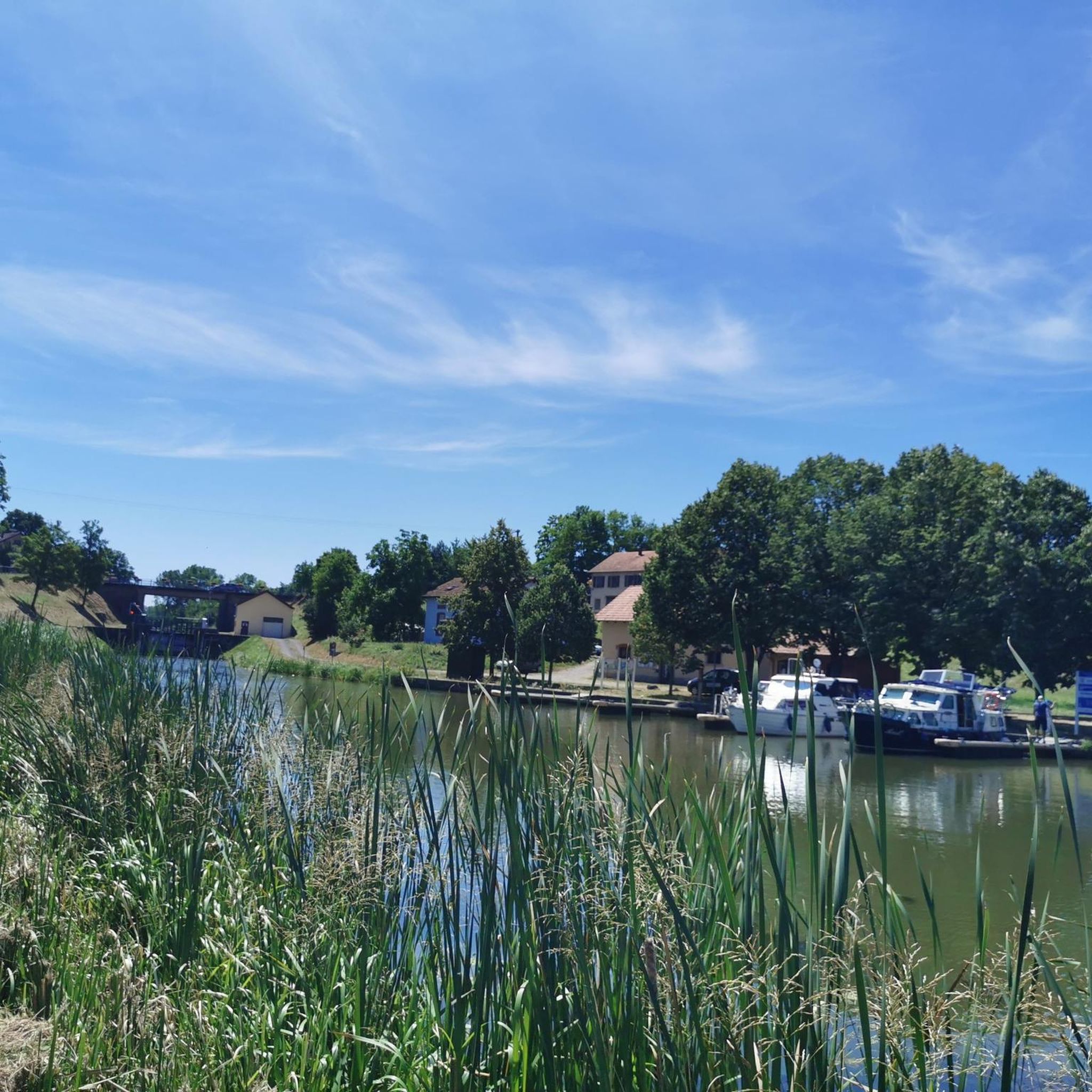
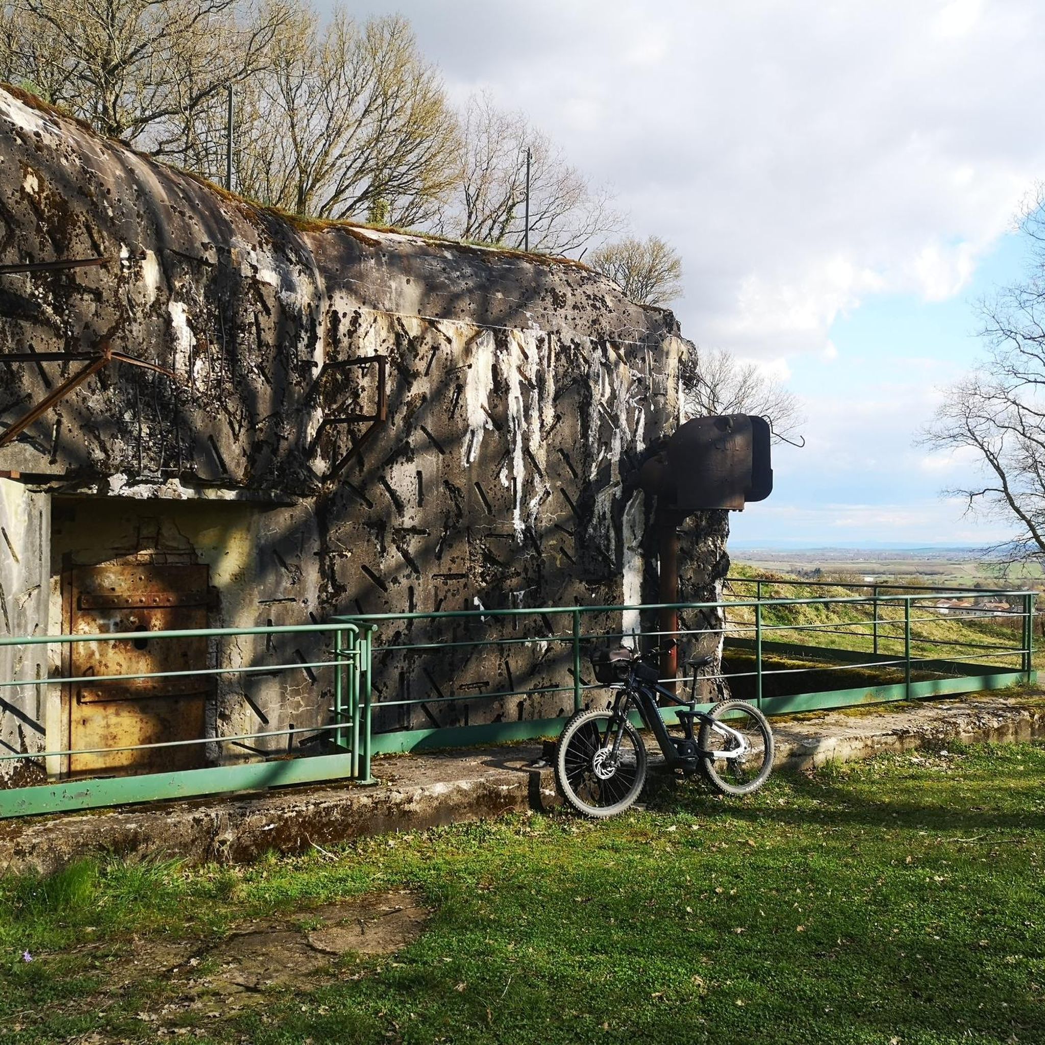
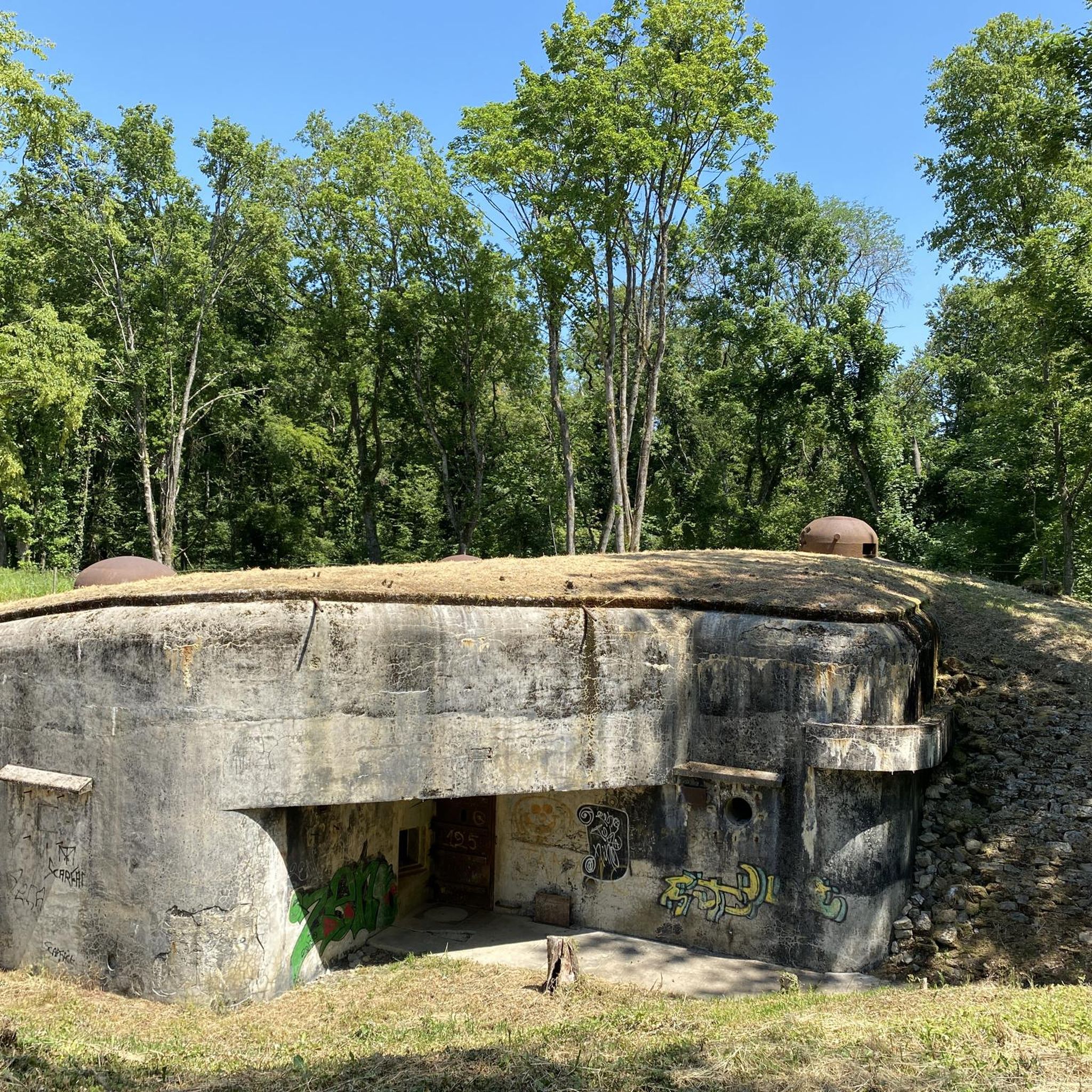
Tips from the Community

This unique extraction tower is one of the few remaining remnants of the Folschviller coal mine shaft. Its characteristic hammer shape is an alternative to the traditionally constructed model. The only example of this type in Moselle, the structure was granted protective protection in 1992. The shaft is 58 m high.
0
0


The modern low-rise building is located outside the center. You can reach the city by bus.
1
0
The modern low-rise train station is located outside the center. You can get to the city center by bus.
1
0
The modern low-rise train station is located outside the center. You can get to the city center by public bus.
1
0

Frequently Asked Questions
How many hiking trails are available around Tetingen?
There are over 230 hiking routes around Tetingen, offering a wide range of options for different skill levels. You'll find approximately 74 easy routes, 146 moderate routes, and 10 more challenging trails.
What kind of terrain can I expect on hikes in Tetingen?
The hiking trails around Tetingen are characterized by rolling hills, agricultural fields, and scattered woodlands. The elevation changes are generally moderate, making the area suitable for various types of walks, from leisurely strolls to more challenging long-distance hikes.
Are there any easy or beginner-friendly hiking options in Tetingen?
Yes, Tetingen offers numerous easy routes suitable for beginners or those looking for a relaxed walk. Approximately 74 of the available routes are classified as easy, often traversing gentle terrain through fields and woodlands.
Are there any longer hiking routes for experienced hikers?
For experienced hikers seeking a longer challenge, routes like the Folschviller village church – Pontpierre Chapel loop from Folschviller offer a substantial experience. This particular trail is nearly 20 km long and takes over 5 hours to complete, featuring rural settings and moderate elevation changes.
What interesting landmarks or attractions can I see while hiking near Tetingen?
While hiking around Tetingen, you can discover several points of interest. Consider visiting the historic Lorraine American Cemetery and Memorial, the impressive Saint-Nabor Abbey Church of Saint-Avold, or the Croix de Porcelette. Some trails also pass by remnants of the Maginot Line.
Are there any circular hiking routes in the Tetingen area?
Yes, many routes in Tetingen are designed as loops. For example, the Vieux Berfane Farm – Old War Memorial loop from Teting-sur-Nied is a popular 12.4 km circular trail that takes you through agricultural land and past historical markers.
What do other hikers enjoy most about hiking in Tetingen?
The hiking experience in Tetingen is highly rated by the komoot community, with an average score of 4.6 stars from over 240 reviews. Hikers often praise the varied landscapes, including rolling hills and woodlands, and the well-maintained paths connecting villages and historical sites.
Are there hiking trails accessible by public transport in Tetingen?
Some routes in the Tetingen area offer connections to local transport hubs. For instance, the Fitness Trail – Saint-Avold station loop from Folschviller is a moderate 17.2 km path that features varied landscapes and links to the Saint-Avold station.
What is the best season for hiking in Tetingen?
Tetingen's landscape of rolling hills and woodlands makes it enjoyable for hiking across multiple seasons. Spring and autumn offer pleasant temperatures and vibrant scenery, while summer provides longer daylight hours. Winter hiking is also possible, though conditions may vary, especially on less maintained paths.
Are there any trails that pass through or near villages?
Many trails in Tetingen connect small villages, allowing you to experience the local charm and potentially find amenities. The region's network of paths is designed to link these communities, offering a blend of natural scenery and village life.
Can I find trails with scenic viewpoints in Tetingen?
While Tetingen is characterized by rolling hills rather than dramatic mountains, some routes offer pleasant views of the surrounding countryside. For specific viewpoints, you might explore areas that lead to higher elevations or look for local highlights such as Rocher de l’Edelweiss.
Most popular attractions around Tetingen

Get inspired with the komoot mobile app


Explore more
Browse the best Hikes in other regions.
