The best walks and hikes around Rampoux
4.5
(168)
702
hikers
69
hikes
Hiking around Rampoux, a village in France's Lot department, offers diverse landscapes for outdoor activities. The terrain features vineyards, river valleys, and limestone cliffs, providing varied experiences for hikers. Elevations in the area range from 176m to nearly 400m on local ridges, offering elevated vistas across the Lot valley. The region is also situated near the Parc Naturel Régional des Causses du Quercy, known for its limestone plateaus and verdant valleys.
Best hiking trails around Rampoux
- The most popular hiking…
Last updated: June 30, 2026
4.8
(4)
13
hikers
9.68km
02:36
120m
120m
Moderate hike. Good fitness required. Easily-accessible paths. Suitable for all skill levels.
4.8
(4)
14
hikers
9.18km
02:28
110m
110m
Moderate hike. Good fitness required. Easily-accessible paths. Suitable for all skill levels.

Sign up for free
4.0
(2)
9
hikers
14.6km
04:06
300m
300m
Moderate hike. Good fitness required. Easily-accessible paths. Suitable for all skill levels.
5.0
(1)
9
hikers
13.0km
03:40
260m
260m
Moderate hike. Good fitness required. Easily-accessible paths. Suitable for all skill levels.
4.3
(4)
7
hikers
8.34km
02:19
150m
150m
Moderate hike. Good fitness required. Easily-accessible paths. Suitable for all skill levels.
Get access to more routes and recommendations from other explorers.
Sign up for free
Already have an account?
Our route recommendations are based on thousands of hikes, rides, and runs completed by other people on komoot.
Start today with a free account
Your next adventure awaits.
Login or Signup
Tips from the Community

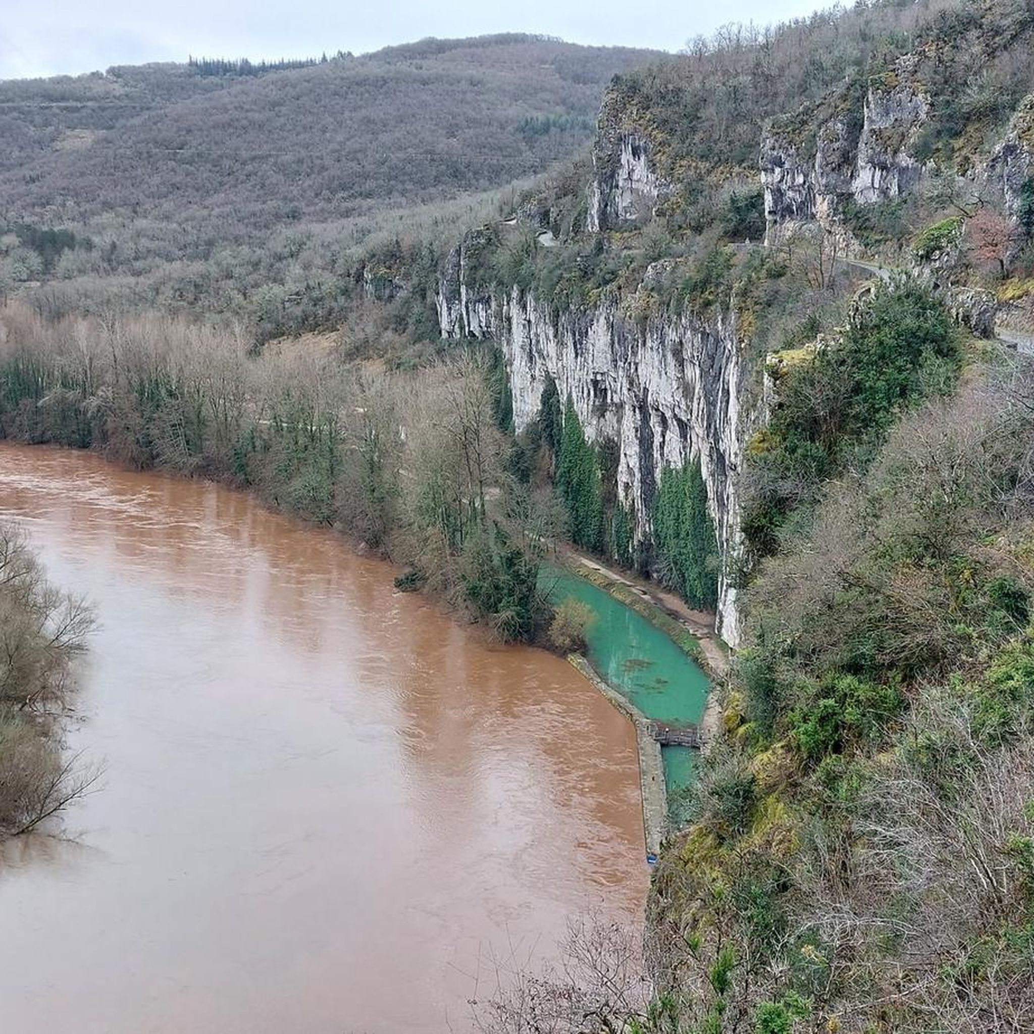
Lavercantière is surrounded by beautiful forests and rivers. Take a stroll through the village centre. You won't be disappointed. A superb fortified church adjoins an equally remarkable medieval castle.
0
0

Frequently Asked Questions
How many hiking trails are available around Rampoux?
There are over 60 hiking trails around Rampoux, offering a variety of experiences for different skill levels. The region is well-suited for both casual walkers and more experienced hikers.
Are there easy hiking trails suitable for beginners or families in Rampoux?
Yes, Rampoux offers a good selection of easy trails. There are 24 easy routes available, many of which are family-friendly and wind through local vineyards, providing gentle paths and scenic views. An example is the 'Le Sentier des Vignes' mentioned in the region research, which is an 8-kilometer trail.
What kind of terrain can I expect on hikes around Rampoux?
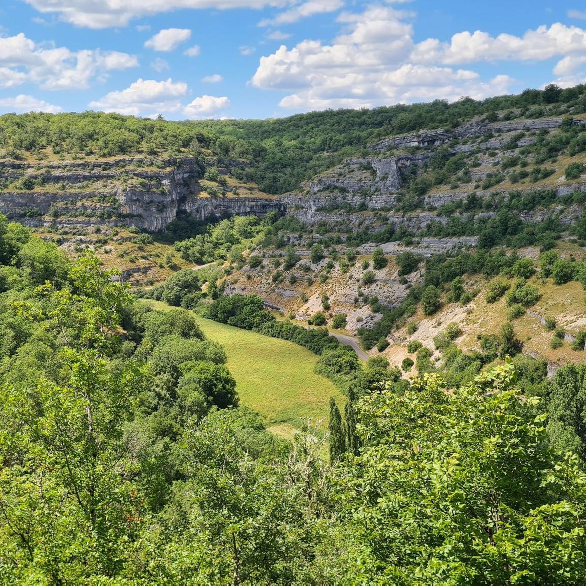
Hiking around Rampoux offers diverse terrain, including gentle vineyard paths, scenic river valleys along the Célé River, and impressive limestone cliffs. For those seeking higher altitudes, trails like 'Les Crêtes de Rampoux' ascend to nearly 400 meters, providing breathtaking views across the Lot valley. The area also features the arid 'causses' (limestone plateaus) and verdant valleys of the nearby Parc Naturel Régional des Causses du Quercy.
Are there any circular hiking routes in Rampoux?
Yes, many of the trails around Rampoux are designed as circular routes, allowing you to start and end at the same point. For example, the Hiking loop from Rampoux is a moderate 6.0 miles (9.7 km) path offering varied terrain and views. Another option is the Hiking loop from Dégagnac, a 9.0 miles (14.6 km) trail through the Lot valley.
What are some notable natural features or viewpoints I can find on hikes near Rampoux?
Hikers can enjoy panoramic views of the surrounding countryside from vineyard trails and elevated vistas from ridges like 'Les Crêtes de Rampoux'. The Célé River valley offers spectacular panoramas where impressive limestone cliffs meet clear waters. For a specific viewpoint, consider visiting the Moncalou Panoramic Tower, which is a highlight in the area.
What do other hikers enjoy most about hiking in Rampoux?
The area is highly rated by the komoot community, with an average score of 4.4 stars from over 150 reviews. Hikers often praise the diverse landscapes, from quiet vineyard paths to challenging riverside trails, and the well-maintained routes that offer varied experiences and beautiful views of the Lot valley.
Are there any nearby towns or attractions worth exploring after a hike?
Absolutely. Rampoux is close to several charming towns and attractions. You can explore the village of Les Arques, or visit the settlements of Cazals and Salviac. The region is also near the extensive Parc Naturel Régional des Causses du Quercy, which offers further exploration opportunities.
Is Rampoux a good destination for long-distance hiking?
While many local trails are moderate in length, Rampoux's proximity to the Parc Naturel Régional des Causses du Quercy, with its network of over 700 kilometers of marked trails, makes it an excellent base for those interested in longer-distance hiking. You can explore the vast limestone plateaus and verdant valleys within the park.
What is the best time of year to go hiking in Rampoux?
The spring and autumn months are generally ideal for hiking in Rampoux, offering pleasant temperatures and beautiful scenery. Spring brings blooming wildflowers, while autumn showcases vibrant fall foliage. Summers can be warm, so early morning or late afternoon hikes are recommended, while winter hiking is possible but may require checking local conditions.
Are there any cafes or places to eat near the hiking trails in Rampoux?
While specific cafes directly on every trail are not guaranteed, the village of Rampoux and nearby towns like Lavercantière and Dégagnac offer amenities. For instance, the Restaurant loop from Lavercantière and the Restaurant loop from Dégagnac are designed to include dining options, suggesting that refreshments are accessible in these areas.
Are the hiking trails around Rampoux dog-friendly?
Many trails in the French countryside, including those around Rampoux, are generally dog-friendly, especially if dogs are kept on a leash. However, it's always advisable to check specific trail regulations or local signage, particularly in protected natural areas like the Parc Naturel Régional des Causses du Quercy, to ensure compliance.
Most popular attractions around Rampoux

Get inspired with the komoot mobile app


Explore more
Browse the best Hikes in other regions.
