The best MTB trails around Sablières
4.6
(65)
455
riders
46
rides
Mountain biking around Sablières offers diverse landscapes within the rugged terrain of the Ardèche department. The area is characterized by the Drobie and Chassezac rivers, dramatic gorges, and mountainous environments. Riders can explore trails winding through dense forests and along river valleys, providing varied elevation changes. This region, part of the Monts d'Ardèche Regional Nature Park, presents an unspoilt natural setting for mountain biking.
Best mountain bike trails around Sablières
- The most popular mountain bike trail is Watershed – Mazan-l'Abbaye…
Last updated: October 11, 2026
4.0
(2)
26
riders
34.7km
03:40
1,030m
1,030m
Hard mountain bike ride. Very good fitness required. Suitable for all skill levels.
5.0
(1)
15
riders
39.0km
03:45
910m
910m
Hard mountain bike ride. Very good fitness required. Suitable for all skill levels.

5.0
(1)
5
riders
46.1km
04:53
1,380m
1,380m
Hard mountain bike ride. Very good fitness required. Advanced riding skills necessary. Some portions of the route may require you to push your bike.
7
riders
34.9km
03:40
1,000m
1,000m
Hard mountain bike ride. Very good fitness required. Advanced riding skills necessary.
5.0
(1)
13
riders
51.2km
04:12
1,170m
1,170m
Hard mountain bike ride. Very good fitness required. Advanced riding skills necessary.
Get access to more routes and recommendations from other explorers.
Already have an account?
Our route recommendations are based on thousands of hikes, rides, and runs completed by other people on komoot.
Start today with a free account
Your next adventure awaits.

Tips from the Community

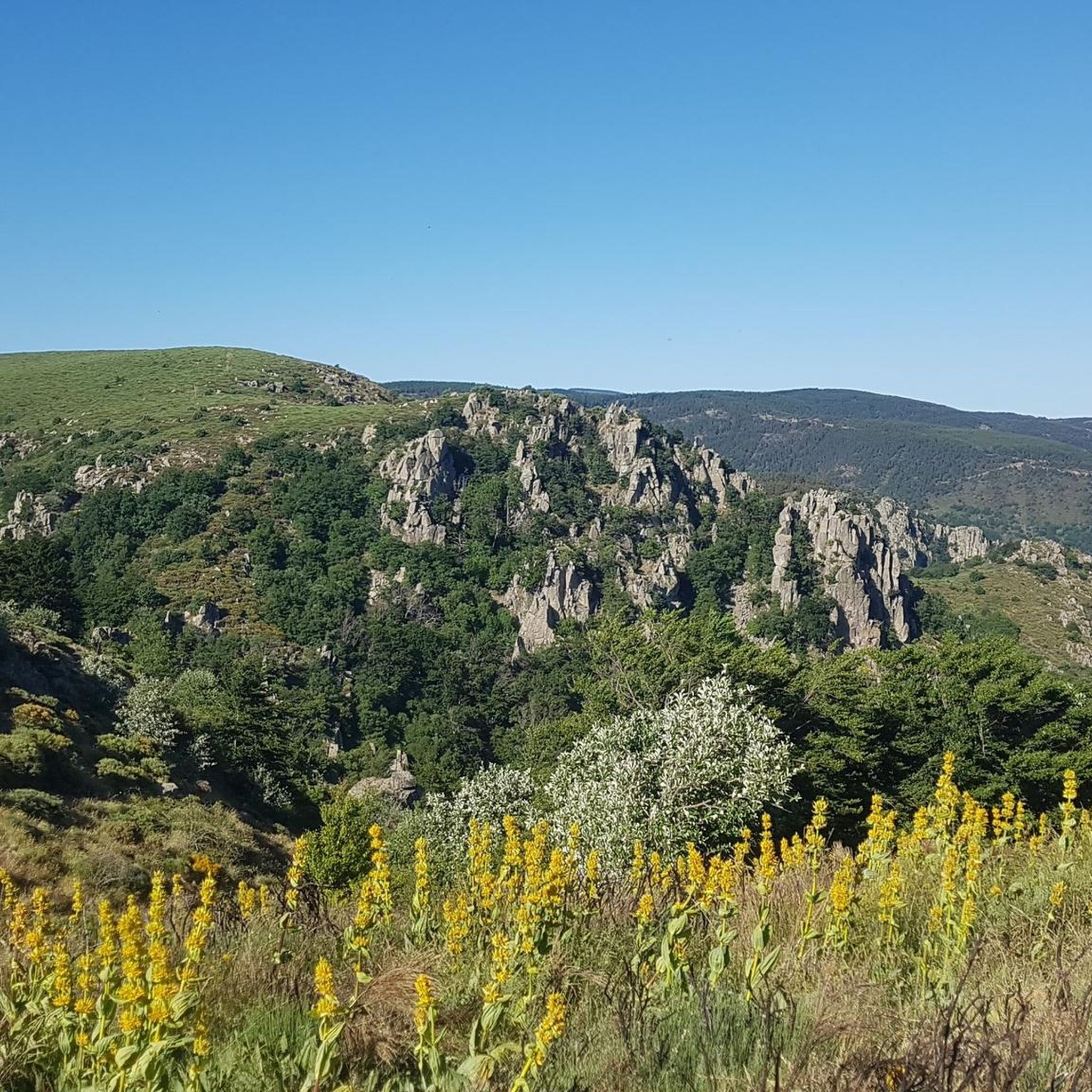
One of the prettiest views in the region. I was lucky enough to have a magnificent blue sky. Pure happiness
0
0


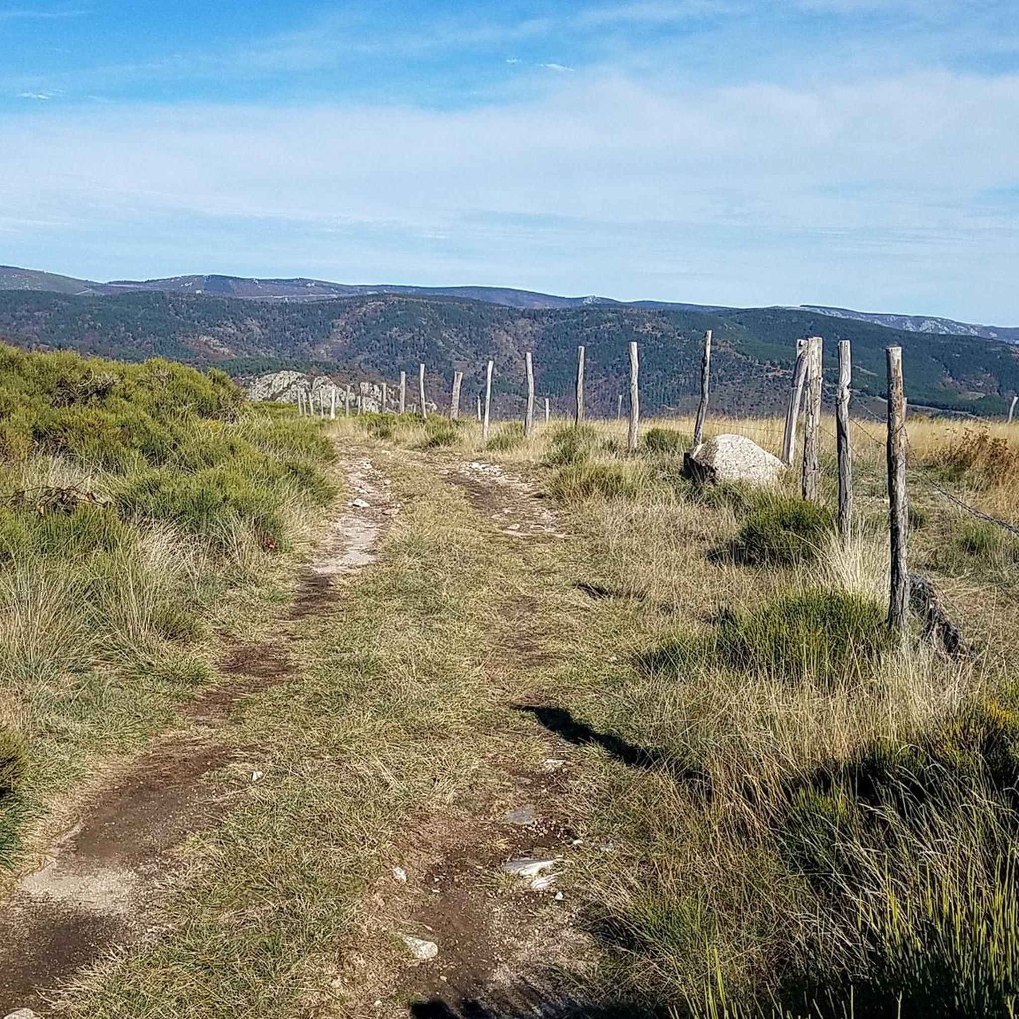
Too stony on Gravel... It's just fine but not pleasant. MTB ok
0
0

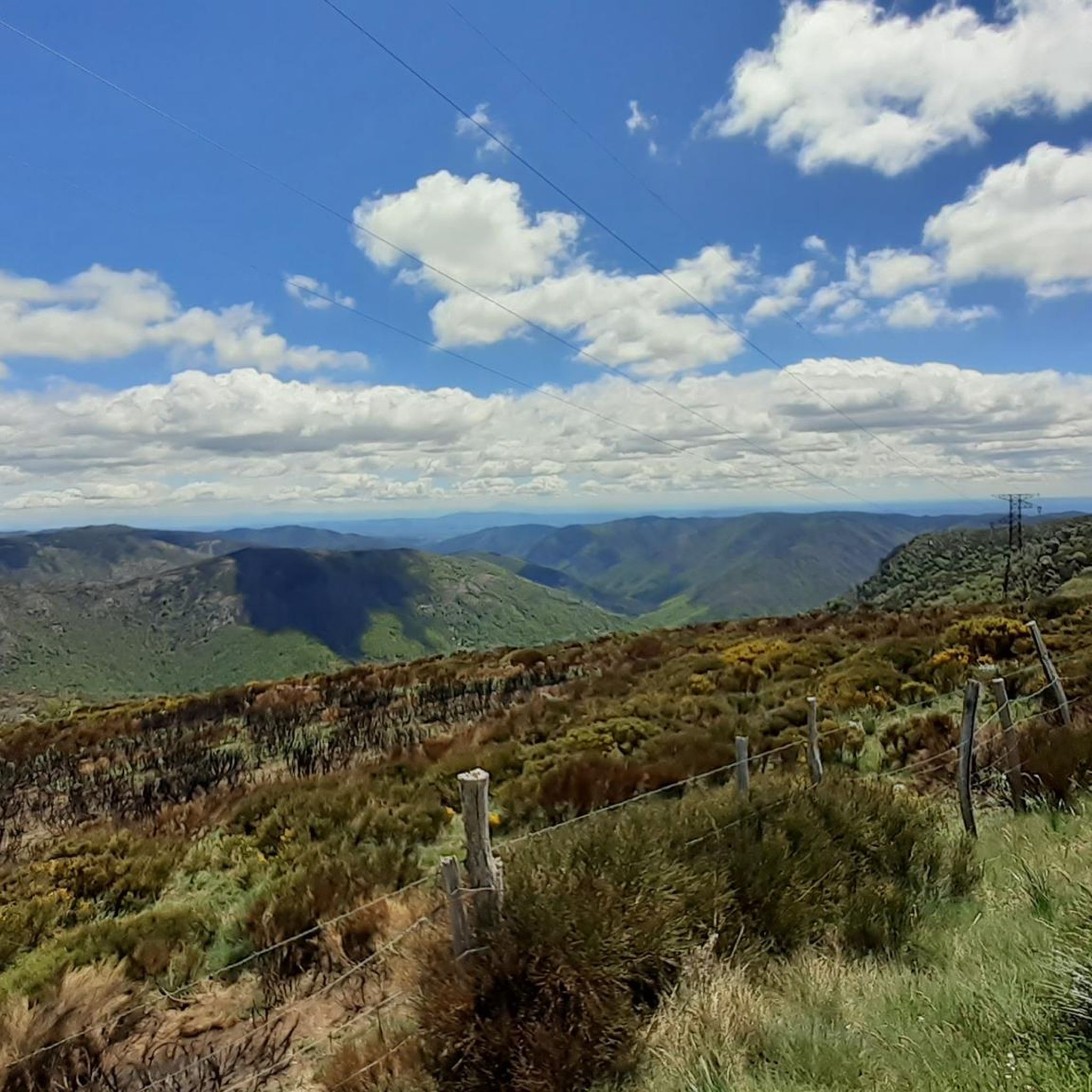
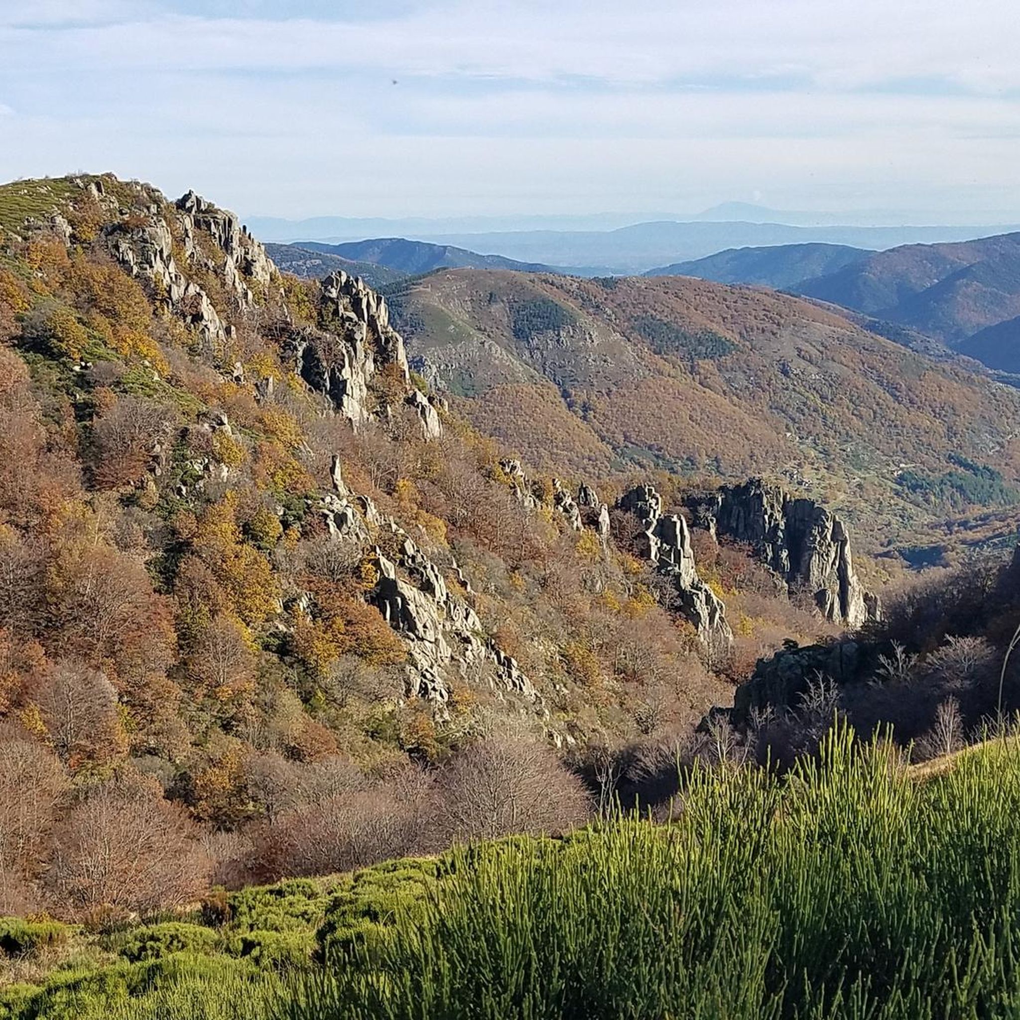
The view from the pass over the Monts d'Ardèche Regional Natural Park is breathtakingly beautiful. The new Meyrand viewpoint, a little south of the summit of the pass, was inaugurated in July 2024. It offers an exceptional panorama of the Monts d'Ardèche, the Cévennes, and you can even see as far as Mont Ventoux.
0
0

Climbing up to the Col du Meyrand from Valgorge, you get a magnificent view of the gorges of the valley from which you came. To do this, you have to overcome sixteen kilometers at an average of 5.1%.
1
0

Magnificent views, awesome climbs and climbs :)
0
0


Von Saint-André-Lachamp nach Charus, dann Single Trail an die La Drobie, über die Pont de la Brousse.
0
0
Frequently Asked Questions
How many mountain bike trails are there around Sablières?
There are over 40 mountain bike trails available around Sablières, catering to various skill levels. This includes 6 easy, 18 moderate, and 16 difficult routes, offering a wide range of experiences from gentle rides to challenging climbs and descents.
Are there any family-friendly mountain bike trails in Sablières?
Yes, Sablières offers several family-friendly mountain bike trails. There are 6 easy routes that are suitable for beginners or families looking for a more relaxed ride through the scenic Ardèche landscape. These trails typically feature less challenging terrain and elevation changes.
What kind of terrain can I expect on mountain bike trails in Sablières?
The terrain around Sablières is diverse, characterized by the rugged landscape of the Monts d'Ardèche Regional Nature Park. You can expect trails winding through dense forests, along river valleys like the Drobie and Chassezac, and across mountainous areas with varied elevation changes. Some routes feature technical climbs and exhilarating descents, while others offer smoother paths.
Are there any circular mountain bike routes available?
Yes, many mountain bike routes around Sablières are circular. For example, the Col de la Croix de Bauzon – Col de Meyrand Viewpoint loop from Col de la Croix de Bauzon is a moderate 30.0 km trail that takes you through mountainous areas with great viewpoints. Another option is the difficult Croix de Millet Pass – Beaume Valley loop from Valgorge, covering 39.0 km.
What are some challenging mountain bike trails in the Sablières area?
For experienced riders seeking a challenge, Sablières offers several difficult trails. The Watershed – Col de Meyrand Viewpoint loop from Col de la Croix de Bauzon is a demanding 86.6 km route with significant elevation gain. Another difficult option is the Les Salles – Steep Uphill loop from Planzolles, a 40.9 km path known for its challenging climbs and descents.
Are there any viewpoints or landmarks to see along the mountain bike trails?
Yes, the region boasts numerous scenic viewpoints and historical landmarks. You can find stunning vistas like the Col de Meyrand Viewpoint and the Outstanding view of the Beaume. Historical sites include the Notre-Dame de Thines Church, perched above the Thines valley, offering spectacular views and cultural interest.
Can I find trails that follow rivers or through gorges?
Absolutely. The Sablières area is defined by its rivers and gorges. You can explore trails that run alongside the Chassezac River and through the dramatic La Drobie Valley. The Rock Pools of the Gorges de Chassezac are a notable natural feature, perfect for a refreshing stop.
What do other mountain bikers say about the trails in Sablières?
The mountain bike trails around Sablières are highly rated by the komoot community, with an average score of 4.5 stars from over 50 reviews. Riders often praise the diverse landscapes, the unspoilt natural environment, and the variety of trails that cater to different ability levels.
Is there a long-distance mountain biking route in the Ardèche region?
Yes, the broader Ardèche region is home to the 'Grande Traversée de l'Ardèche' (GTA VTT), a significant mountain biking route spanning over 315 km. It connects various parts of the Ardèche, showcasing its diverse terrain, including the Montagne Ardéchoise, the Tanargue Range, and the Gorges de l'Ardèche. You can find more information on France Vélo Tourisme.
What are the typical durations for mountain bike tours in Sablières?
Tour durations vary significantly depending on the trail's length and difficulty. For instance, a moderate route like the Col de la Croix de Bauzon – Col de Meyrand Viewpoint loop from Col de la Croix de Bauzon typically takes about 3 hours and 7 minutes. Longer, more difficult trails, such as the Watershed – Mazan-l'Abbaye loop from Mayres, can take around 9 hours and 2 minutes to complete.
Are there any specific facilities for mountain bikers in the region?
The Ardèche region is generally bike-friendly. While specific facilities in Sablières itself are not detailed, some areas in the wider Ardèche provide services like bike rental, equipment maintenance, secure bicycle shelters, and repair kits to enhance the mountain biking experience.
Most popular routes around Sablières
Most popular attractions around Sablières

Get inspired with the komoot mobile app


Explore more
Browse the best MTB trails in other regions.
