The best walks and hikes around Rivarennes
4.3
(120)
423
hikers
58
hikes
Hiking around Rivarennes offers diverse landscapes within the Loire-Anjou-Touraine Natural Regional Park. The region is characterized by riverside paths along the Creuse, Indre, and Cher rivers, as well as extensive forested areas like the Chinon State Forest. Trails often traverse gentle hillsides and agricultural lands, providing varied terrain for outdoor activities.
Best hiking trails in Rivarennes
- The most popular hiking route is Along the Creuse from Rivarennes, a 4.2 miles (6.8 km) trail that takes 1 hour 48 minutes…
Last updated: July 7, 2026
3.8
(6)
20
hikers
6.83km
01:48
60m
60m
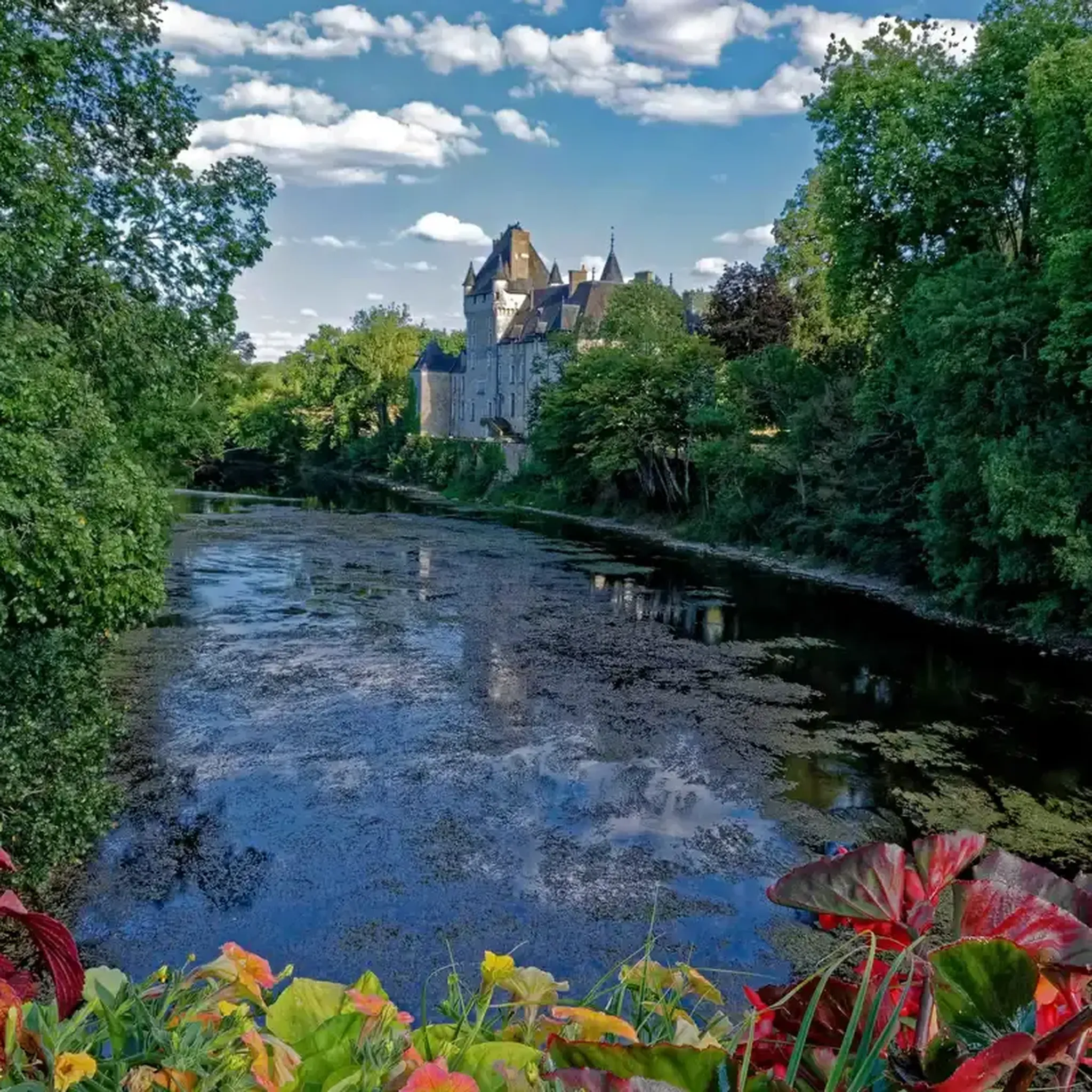
The Rivarennes loop is a moderate 4.2-mile (6.8 km) hike offering views of Château de la Tour and diverse terrain.
4.0
(2)
6
hikers
8.05km
02:09
80m
80m
Hike the moderate 5.0-mile Thenay and Saint-Gaultier loop through the French countryside, offering scenic views of the Creuse Valley.

Sign up for free
4.7
(12)
23
hikers
10.9km
02:47
40m
40m
Moderate hike. Good fitness required. Easily-accessible paths. Suitable for all skill levels.
4.8
(4)
9
hikers
9.57km
02:35
120m
120m
Moderate hike. Good fitness required. Easily-accessible paths. Suitable for all skill levels.
2
hikers
4.97km
01:17
30m
30m
Easy hike. Great for any fitness level. Easily-accessible paths. Suitable for all skill levels.
Get access to more routes and recommendations from other explorers.
Sign up for free
Already have an account?
Our route recommendations are based on thousands of hikes, rides, and runs completed by other people on komoot.
Start today with a free account
Your next adventure awaits.
Login or Signup

Tips from the Community

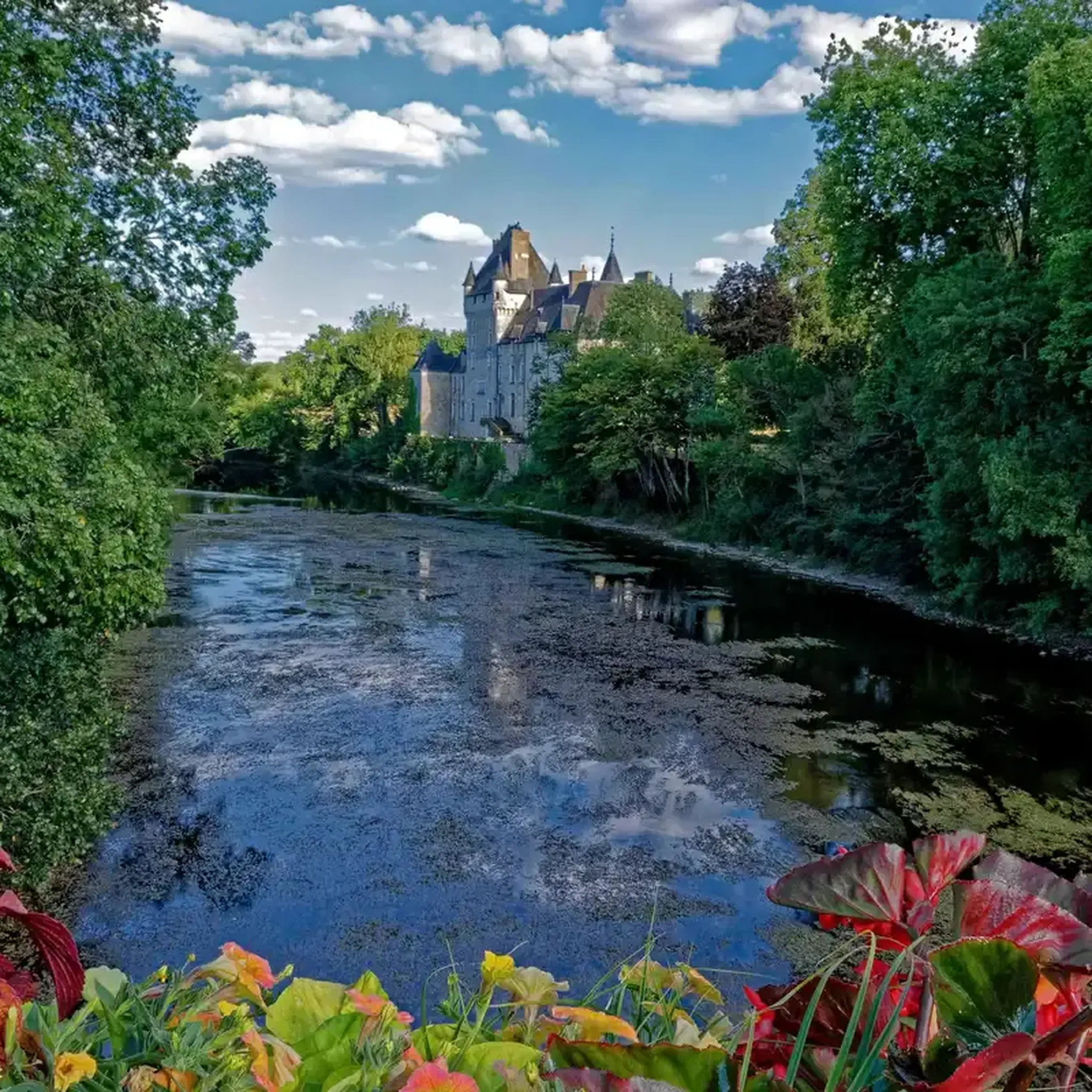
Château de la Tour is a true gem. From the bridge over the Creuse River, you have a beautiful view of the water and, of course, the château.
3
0
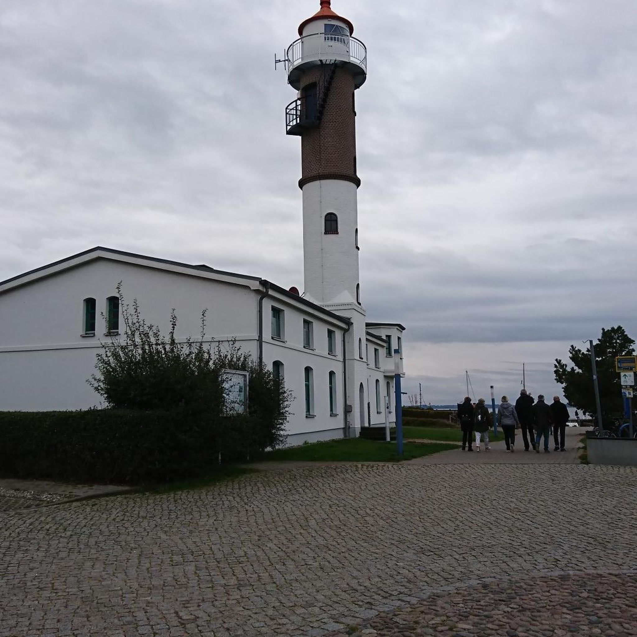
From the bridge over the Creuse River in Saint-Gaultier, you have a beautiful view of the priory with the Église Saint-Gaultier (also called Église Saint-Gaultier et son priory). The complex: Originating in the 11th–12th century, built by the Benedictines. It consisted of the church and the adjacent monastery/prieuré. The towers and buildings you see are partly part of the later college that was built against the old priory. The complex offers a magnificent view of the Creuse, making it such a photogenic spot from the bridge.
3
0
A beautiful (quiet) walking route with a rest area with a bench about halfway along, where we were joined by donkeys. Part of the route crosses and follows the Creuse River. Beautiful views, with several benches and picnic tables along the river.
3
0


Superb panoramic view of the river and the town of Thenay. This place is on the bike path, so you can stop, get off the bike and take a photo.
0
0

Nice view of the river and the natural area, calm and peaceful.
0
0

A view from the bridge to see the church of Saint-Gaultier and the Creuse river flanked by trees and greenery.
2
0
Frequently Asked Questions
How many hiking trails are available around Rivarennes?
Rivarennes and its surroundings offer nearly 60 hiking trails. These routes cater to various preferences, with 26 easy trails and 33 moderate options, ensuring there's something for every hiker.
Are there any easy hiking trails suitable for beginners or families?
Yes, Rivarennes has 26 easy hiking trails perfect for beginners or families. An example is the View from the bridge loop from Saint-Gaultier, which is an easy 4.7 km route. The region's gentle hills and riverside paths make many routes accessible for a relaxed outing.
What kind of landscapes can I expect to see while hiking in Rivarennes?
Hiking in Rivarennes offers a diverse range of landscapes. You'll find picturesque riverside paths along the Creuse, Indre, and Cher rivers, extensive forested areas like the Chinon State Forest, and charming agricultural lands, including vineyards. Some trails also feature gentle hillsides, providing varied terrain and scenic views.
Are there any circular hiking routes in the area?
Yes, many routes around Rivarennes are circular, allowing you to start and end at the same point. For instance, the Étang Batardet – Étang Communal loop from Luzeret is a moderate 11 km circular trail that takes you through areas with ponds and open countryside.
What do other hikers enjoy most about the trails in Rivarennes?
The hiking trails in Rivarennes are highly rated by the komoot community, with an average score of 4.4 stars from over 100 reviews. Hikers often praise the region's diverse landscapes, from tranquil riverside paths to scenic vineyards and forests, as well as the well-maintained nature of the routes.
Can I find trails that pass through vineyards or agricultural areas?
Absolutely. The region is known for its rural charm, and several trails lead through agricultural landscapes, including vineyards. The Winegrowers' Lands Trail is a moderate 8.1 km route specifically designed to showcase these beautiful winegrowing areas.
Are there any notable landmarks or attractions to see along the hiking routes?
Yes, the area around Rivarennes offers several interesting landmarks. You might encounter historical structures like The Old Bridge or enjoy scenic viewpoints such as View from the bridge. The broader region also features charming towns like Argenton-sur-Creuse with its Notre-Dame church.
Are there any trails that follow rivers?
Many trails in Rivarennes offer picturesque views along rivers. The region is characterized by riverside paths along the Creuse, Indre, and Cher rivers. A great example is Along the Creuse from Rivarennes, a moderate 6.8 km trail that follows the banks of the Creuse River.
What is the longest moderate trail available in the area?
Among the moderate trails, the Étang Batardet – Étang Communal loop from Luzeret is one of the longer options, covering 11 km. It's a great choice for those looking for a more extended moderate hike through varied countryside.
Are there any trails that go through forested areas?
Yes, the area boasts beautiful forested areas, such as the Chinon State Forest, which offers numerous hiking opportunities. While specific komoot routes listed here might not explicitly state 'forest,' many trails will traverse deciduous and coniferous woodlands, providing varied natural settings.
Are there any trails with significant elevation changes or hilly terrains?
While Rivarennes is generally characterized by gentle hills, some trails do incorporate moderate elevation changes, leading hikers through hillsides and offering panoramic views. The Oulches and surroundings loop from Oulches, for example, features over 120 meters of ascent, providing a more undulating experience.
Most popular attractions around Rivarennes

Get inspired with the komoot mobile app


Explore more
Browse the best Hikes in other regions.
