The best road cycling routes around Domfaing
4.6
(72)
1,519
riders
63
rides
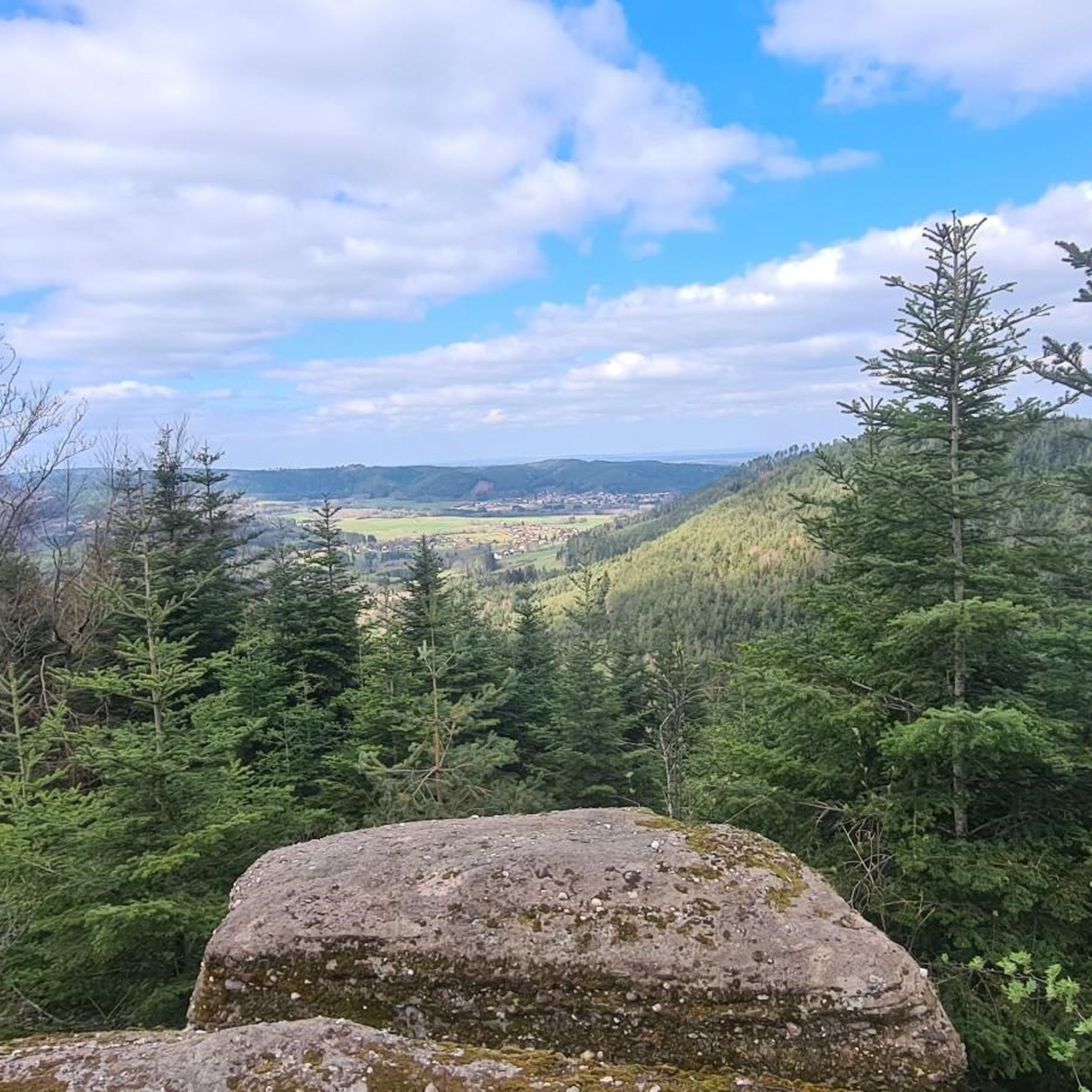
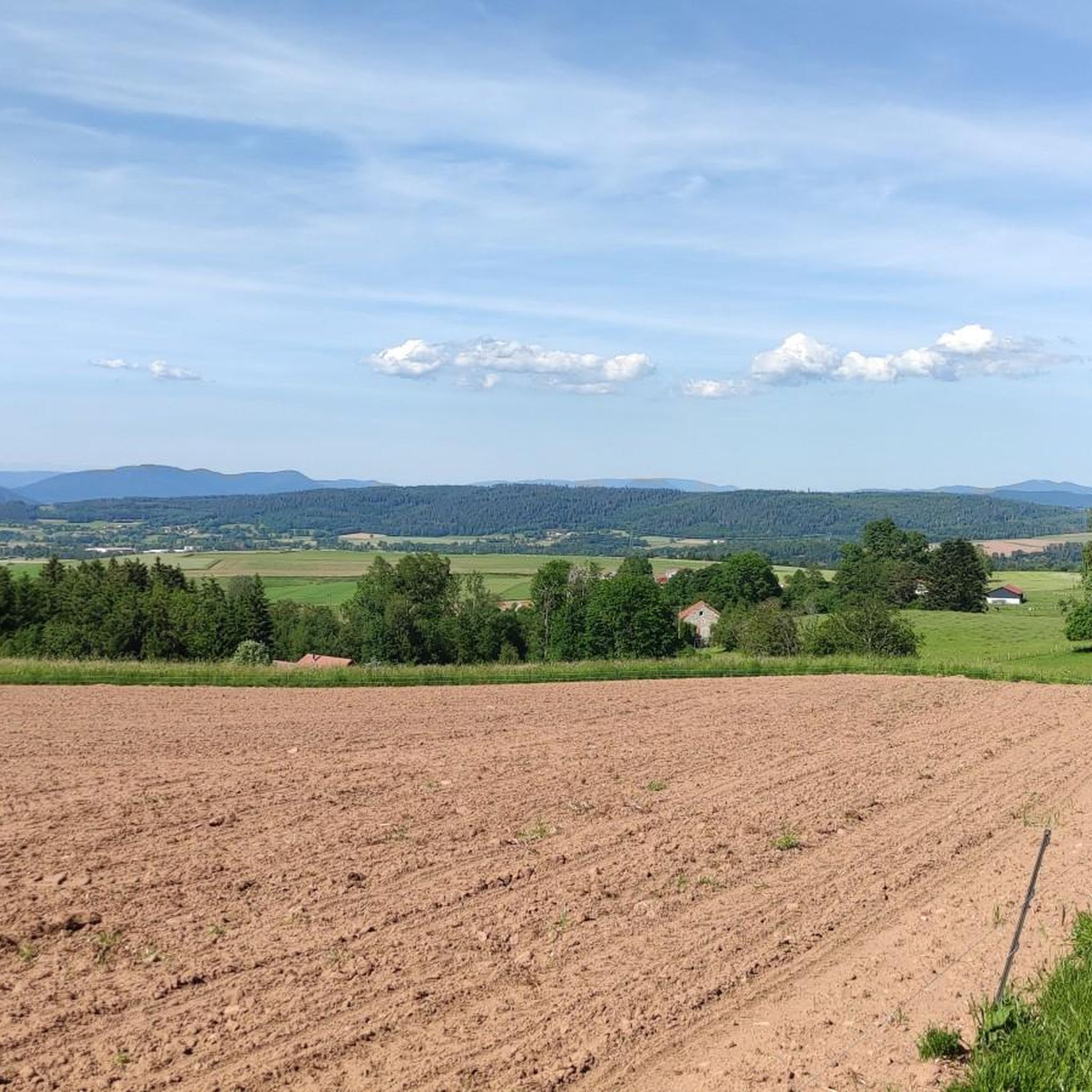
Road cycling around Domfaing offers diverse terrain within the Vosges Mountains, characterized by significant climbs and well-maintained paths. The region features a landscape that transitions between dense pine forests and open mountain pastures, providing varied visual experiences. Cyclists encounter challenging ascents and rewarding views, with peaks reaching over 1,300 meters. This area is known for its long climbs, making it suitable for various training efforts.
Best road cycling routes around Domfaing
- The most popular road cycling route is Col du Wettstein – Wettstein Pass loop from Bruyères, a 65.1 miles (104.7 km) trail that takes 5 hours 24 minutes to complete. This difficult route features a significant pass ascent.
- Another top favourite among local road cyclists is Moulin Lake – Arrentes Pass loop from Bruyères, a moderate 33.7 miles (54.2 km) path. This route winds through scenic landscapes, passing by Moulin Lake and over Arrentes Pass.
- Local road cyclists also love the View of Lake Lispach – Col du Wettstein loop from Bruyères, a 82.4 miles (132.6 km) trail leading through varied terrain with views of Lake Lispach, often completed in about 7 hours 14 minutes.
- Road cycling around Domfaing is defined by the Vosges Mountains, dense pine forests, and mountain pastures, offering challenging climbs and scenic routes. The network provides options for easy, moderate, and difficult rides, catering to different ability levels.
- The routes in Domfaing are highly rated by the komoot community with an average score of 4.6 stars from over 50 reviews. More than 1,300 road cyclists have used komoot to explore Domfaing's varied terrain.
Last updated: July 5, 2026
127
riders
105km
05:25
1,810m
1,810m
Hard road ride. Very good fitness required. Mostly well-paved surfaces and easy to ride.
4.0
(2)
48
riders
177km
09:16
3,180m
3,180m
Hard road ride. Very good fitness required. Mostly well-paved surfaces and easy to ride.

Sign up for free
4.5
(4)
81
riders
54.2km
02:33
690m
690m
Moderate road ride. Good fitness required. Mostly well-paved surfaces and easy to ride.
5.0
(2)
66
riders
133km
07:14
2,530m
2,530m
Hard road ride. Very good fitness required. Mostly well-paved surfaces and easy to ride.
5.0
(1)
53
riders
49.6km
02:26
670m
670m
Moderate road ride. Good fitness required. Some segments of this route may be unpaved and difficult to ride.
Get access to more routes and recommendations from other explorers.
Sign up for free
Already have an account?
Our route recommendations are based on thousands of hikes, rides, and runs completed by other people on komoot.
Start today with a free account
Your next adventure awaits.
Login or Signup
Tips from the Community

Beautiful lake. The cycle path on the eastern side is more like a cycle street that is great to ride on.
1
0

Very pleasant ascent, steady with a quality surface, be careful, keep a second ramp under your pedal, it hides behind before reaching the lake of Gérardmer!
0
0

Beautiful climb that winds up in several switchbacks with a very moderate gradient. Train a little for everyone, easy to do!👍
0
0


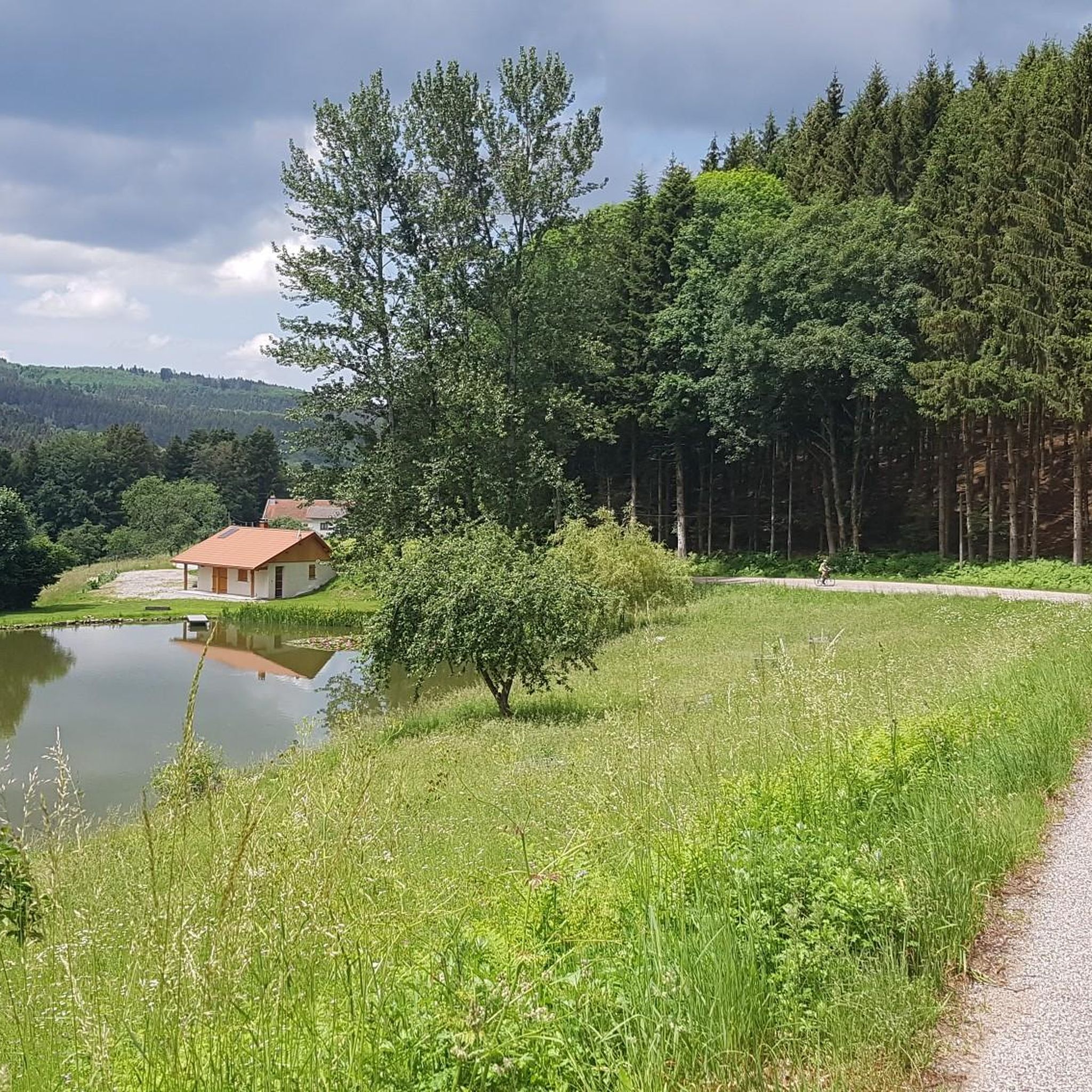
The beautiful mirror-like lake, surrounded by beautiful vegetation, is also explained on the information board. The insect-eating sundew is common there.
1
0

Nice quiet place to take a break.
1
0
Good, affordable accommodation. Right in the heart of the Cols.
0
0

We first hiked the route along the upper slope, bringing some food and water. It was a beautiful walk, and on the way back, we made a nice stop in the village. Be sure to check the restaurant opening hours.
0
0
Frequently Asked Questions
How many road cycling routes are available around Domfaing?
There are over 60 road cycling routes available around Domfaing, catering to various skill levels. This includes 9 easy routes, 36 moderate routes, and 15 difficult routes, ensuring options for every cyclist.
What kind of terrain can I expect on road cycling routes in Domfaing?
Road cycling in Domfaing primarily features the diverse terrain of the Vosges Mountains. You'll encounter significant climbs, with some routes reaching maximum gradients of 20%, winding through dense pine forests and opening up to expansive mountain pastures. The region offers a mix of well-maintained roads and scenic forest routes.
Are there challenging road cycling routes for experienced cyclists?
Yes, Domfaing is well-known for its challenging climbs and difficult routes. For instance, the Col du Wettstein – Wettstein Pass loop from Bruyères is a difficult 104.7 km route with over 1800 meters of elevation gain. Another demanding option is the View of Lake Lispach – Col du Wettstein loop from Bruyères, covering 132.6 km with over 2500 meters of ascent.
What are some scenic viewpoints or natural features along the routes?
The region offers numerous scenic spots. You can experience tranquil forest roads, such as the Forest road between Brouvelieures and Autrey, or enjoy panoramic views from higher elevations. The *Route des Crêtes* (Ridge Road) provides stunning vistas over the Vosges, including views of Lac Blanc. Routes like the View of Lake Lispach – Col du Wettstein loop from Bruyères offer glimpses of beautiful mountain lakes.
Are there any moderate road cycling routes suitable for a less intense ride?
Absolutely. For a moderate ride, consider the Moulin Lake – Arrentes Pass loop from Bruyères. This 54.2 km route features around 690 meters of elevation gain and winds through scenic landscapes, passing by Moulin Lake and over Arrentes Pass. Another moderate option is the Moulin Lake – I See Life in Vosges loop from Bruyères.
What is the best time of year for road cycling in Domfaing?
The best time for road cycling in Domfaing is typically from spring through autumn. During these seasons, the weather is generally favorable, and the diverse landscapes, from deep forests to open pastures and vineyards, are at their most picturesque. Summer offers warmer temperatures, while spring and autumn provide cooler, crisp air ideal for longer rides.
Are there circular road cycling routes available?
Yes, many of the road cycling routes around Domfaing are designed as loops, allowing you to start and finish in the same location. Examples include the Col du Wettstein – Wettstein Pass loop from Bruyères and the Moulin Lake – Arrentes Pass loop from Bruyères.
What do other cyclists say about road cycling in Domfaing?
The road cycling routes around Domfaing are highly rated by the komoot community, with an average score of 4.6 stars from over 50 reviews. Cyclists often praise the challenging climbs, the varied and beautiful scenery, and the well-maintained paths that transition between dense forests and open mountain views.
Are there any facilities or places to stop along the routes?
While specific cafes or accommodations are not detailed for every route, the region around Domfaing, being part of the Vosges, has charming villages and towns where you can find amenities. Some routes may pass near facilities like Camping Domaine de Messires, offering potential stopping points.
What are the highest points reached on road cycling routes in this area?
The Vosges Mountains, where Domfaing is located, feature peaks reaching over 1,300 meters. While not as high as the Alps, climbs in this region, such as those leading towards Le Grand Ballon (the highest mountain at 1,424 m), offer significant elevation gains and rewarding views from the summits.
Most popular attractions around Domfaing

Get inspired with the komoot mobile app


Explore more
Browse the best Road cycling routes in other regions.
