The best walks and hikes around Aurensan
4.5
(62)
406
hikers
13
hikes
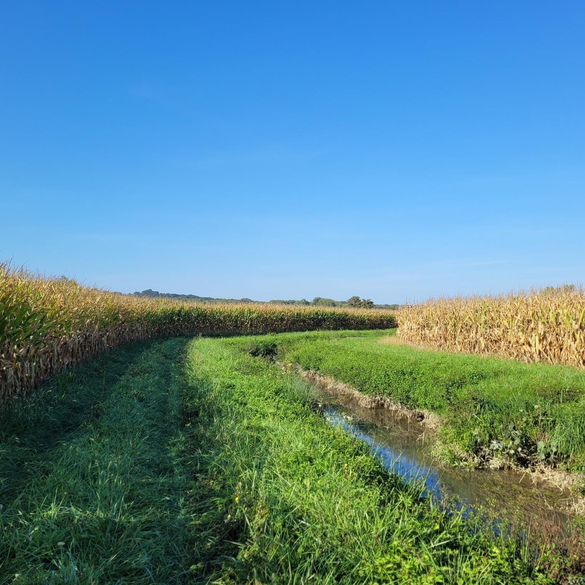
Hiking around Aurensan provides access to the varied landscapes of the Hautes-Pyrénées department in southwestern France. The commune, situated at an altitude of 250m to 271m, serves as a gateway to the foothills of the Pyrenees mountain range. The terrain transitions from rolling green hills and river valleys to pine forests and offers views towards higher peaks. This region is characterized by diverse natural environments, including agricultural lands and proximity to glacial lakes and mountain passes.
Best hiking trails around…
Last updated: June 24, 2026
4.2
(17)
119
hikers
29.3km
07:39
210m
210m
Hard hike. Very good fitness required. Easily-accessible paths. Suitable for all skill levels.
4.8
(12)
73
hikers
5.12km
01:22
60m
60m
Easy hike. Great for any fitness level. Easily-accessible paths. Suitable for all skill levels.

Sign up for free
4.7
(11)
66
hikers
3.68km
00:57
20m
20m
Easy hike. Great for any fitness level. Easily-accessible paths. Suitable for all skill levels.
5.0
(1)
22
hikers
4.32km
01:08
40m
40m
Easy hike. Great for any fitness level. Easily-accessible paths. Suitable for all skill levels.
4.5
(2)
12
hikers
26.8km
06:47
60m
60m
Hard hike. Very good fitness required. Easily-accessible paths. Suitable for all skill levels.
Get access to more routes and recommendations from other explorers.
Sign up for free
Already have an account?
Our route recommendations are based on thousands of hikes, rides, and runs completed by other people on komoot.
Start today with a free account
Your next adventure awaits.
Login or Signup
Popular around Aurensan

Tips from the Community

Beautiful cathedral that is definitely worth a visit.
4
0

Here pilgrims can fill up their water bottles (about 10 km from Aire-sur-l'Adour).
9
0
Beautiful richly decorated and painted church in the middle of the city.
11
0


Nice view of the Adour river from the crossing on the bridge and nice view of Aire sur l'Adour from the river :)
0
0

Free guided tours of the church and restored crypt From June to September, Monday to Friday at 10am, 11am, 4pm and 5pm. The rest of the year visits are only possible by reservation.
8
2
The Sainte-Quitterie Church is a UNESCO World Heritage Site as a stopover on the paths to Santiago de Compostela. It is also classified as a historical monument.
8
2

Nice views of the river from this bridge which is also on the St Jaques de Compostelle pirgrimage path.
0
0
Frequently Asked Questions
How many hiking trails are available around Aurensan?
Aurensan offers a selection of over 10 hiking trails, catering to various skill levels. These routes explore the diverse landscapes from rolling hills to river valleys, with views towards the Pyrenees foothills.
What kind of terrain can I expect on hikes around Aurensan?
The terrain around Aurensan is quite varied. You can expect to hike through green hills, agricultural lands, and river valleys. As you venture further, the landscape transitions towards pine forests and offers glimpses of the majestic Pyrenees mountain range, providing a mix of gentle paths and more challenging ascents.
Are there easy hiking trails suitable for beginners or families in Aurensan?
Yes, Aurensan has several easy hiking trails perfect for beginners or families. For instance, the Lac du Brousseau loop from Église Sainte-Quitterie is an easy 3.2 miles (5.1 km) path offering a pleasant walk around a local lake with minimal elevation changes. Another option is the Lac du Gabassot loop from Baliracq-Maumusson, which is 2.7 miles (4.3 km) and leads through the local countryside.
Are there any challenging hikes for experienced trekkers near Aurensan?
For experienced trekkers seeking a challenge, Aurensan provides routes with more significant distances and moderate elevation gain. The Sainte-Quitterie Church – La Halle aux grains loop from Landes du Pin is a demanding 17.7 miles (28.5 km) trail that takes approximately 7 hours 25 minutes to complete, featuring varied terrain and notable ascents.
Are there any circular hiking routes in Aurensan?
Many of the trails around Aurensan are designed as loops, offering convenient circular routes. Examples include the Lac du Brousseau loop from Larquérat, which is an easy 3.7 km (2.3 miles) walk, and the longer Bridge over the Adour – La Halle aux grains loop from Gée-Rivière, a difficult 26.8 km (16.7 miles) option.
What points of interest can I see along the hiking trails around Aurensan?
While hiking around Aurensan, you can discover several local points of interest. These include historical sites like the Sainte-Quitterie Church and La Halle aux grains. Further afield, you might encounter other notable landmarks such as the Saint John the Baptist Cathedral, Aire, or the Saint Martin Church, depending on your chosen route.
Are there any lakes or waterfalls accessible on hikes near Aurensan?
While Aurensan itself is not directly adjacent to major lakes or waterfalls, its location in the Hautes-Pyrénées provides access to stunning natural features within a reasonable distance. The Pyrenees are dotted with glacial lakes, such as those found in the Néouvielle Reserve, and spectacular waterfalls like those at the Cirque de Gavarnie, a UNESCO World Heritage site. These areas offer unique hiking experiences amidst dramatic mountain scenery.
What do other hikers say about the trails in Aurensan?
The hiking trails around Aurensan are highly regarded by the komoot community, with an average rating of 4.4 stars from over 50 reviews. Hikers often praise the varied terrain, the peaceful countryside, and the accessibility to different types of landscapes, from gentle lake loops to more demanding routes with views towards the Pyrenees.
What is the best time of year to go hiking in Aurensan?
The best time to go hiking in Aurensan is generally from spring through autumn. During these seasons, the weather is typically mild and pleasant, making for comfortable hiking conditions. Spring brings lush greenery and blooming flora, while autumn offers beautiful fall colors. Summer is also popular, but it's advisable to start early to avoid the midday heat.
Are dogs allowed on hiking trails in Aurensan?
Generally, dogs are welcome on most hiking trails around Aurensan, especially in the local countryside and forest paths. However, it's always recommended to keep them on a leash, particularly in areas with livestock or wildlife, and to check for any specific local regulations or signage, especially if venturing into protected natural areas further into the Pyrenees.
Is public transport available to access hiking trails near Aurensan?
Aurensan is a smaller commune, and direct public transport links to specific trailheads might be limited. Access to hiking trails typically requires personal transportation. However, regional bus services might connect Aurensan to larger towns in the Hautes-Pyrénées, from where local transport or a short drive could lead to various hiking starting points.
Where can I find parking when hiking in Aurensan?
For most hiking trails around Aurensan, you can typically find parking in or near the starting points of the routes, often in village centers or designated parking areas. It's advisable to check the specific route details on komoot for information on recommended parking spots for each individual trail.
Most popular attractions around Aurensan

Get inspired with the komoot mobile app


Explore more
Browse the best Hikes in other regions.
