The best running trails around Laval-Sur-Vologne
3.9
(52)
703
runners
99
runs
Jogging routes around Laval-Sur-Vologne traverse a landscape characterized by its varied terrain, including forested areas and natural rock formations. The region features gentle hills and paths alongside natural water bodies, offering diverse running environments. These routes provide opportunities to explore the local natural features, with elevations generally suitable for regular running.
Best jogging routes around Laval-Sur-Vologne
- The most popular jogging route is Pointhaie Rocks Loop, a 3.8 miles (6.2 km) trail that takes about 45 minutes to complete, offering…
Last updated: July 5, 2026
4.0
(2)
11
runners
6.17km
00:44
130m
130m
Moderate run. Good fitness required. Mostly accessible paths. Some sure footedness required.
5.0
(1)
45
runners
9.94km
01:13
220m
220m
Moderate run. Good fitness required. Mostly paved surfaces. Suitable for all skill levels.

Sign up for free
15
runners
27.4km
03:22
620m
620m
Hard run. Very good fitness required. Sure-footedness, sturdy shoes and alpine experience required.
1.0
(1)
14
runners
5.73km
00:40
140m
140m
Moderate run. Good fitness required. Mostly paved surfaces. Suitable for all skill levels.
8
runners
10.4km
01:10
180m
180m
Moderate run. Good fitness required. Mostly paved surfaces. Suitable for all skill levels.
Get access to more routes and recommendations from other explorers.
Sign up for free
Already have an account?
Our route recommendations are based on thousands of hikes, rides, and runs completed by other people on komoot.
Start today with a free account
Your next adventure awaits.
Login or Signup
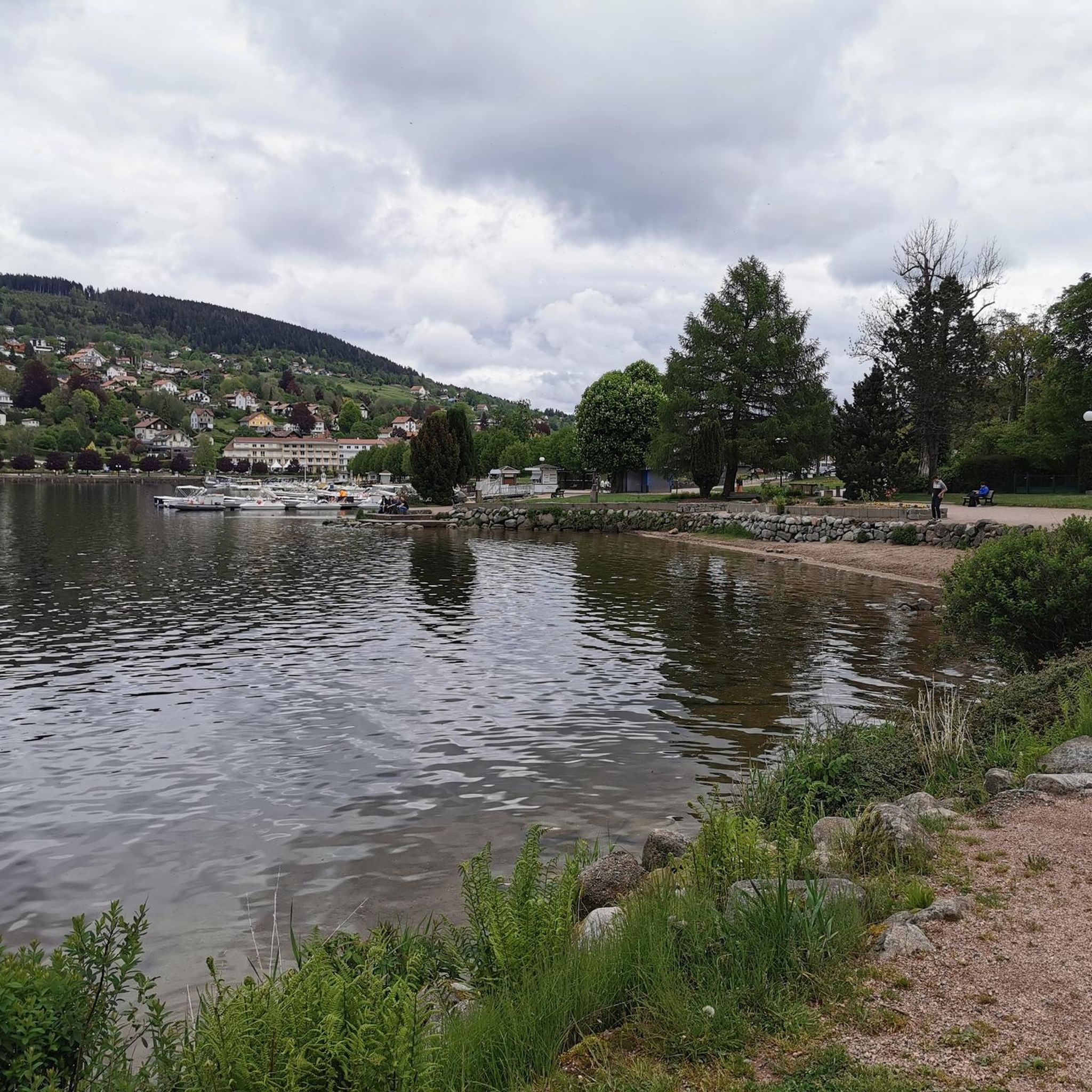
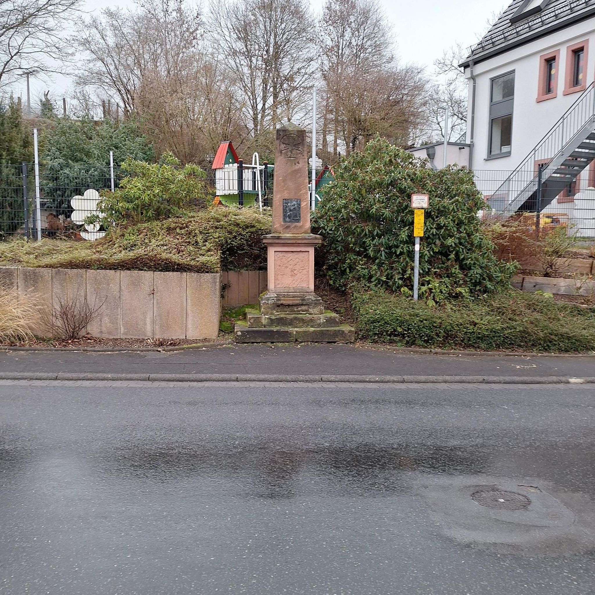
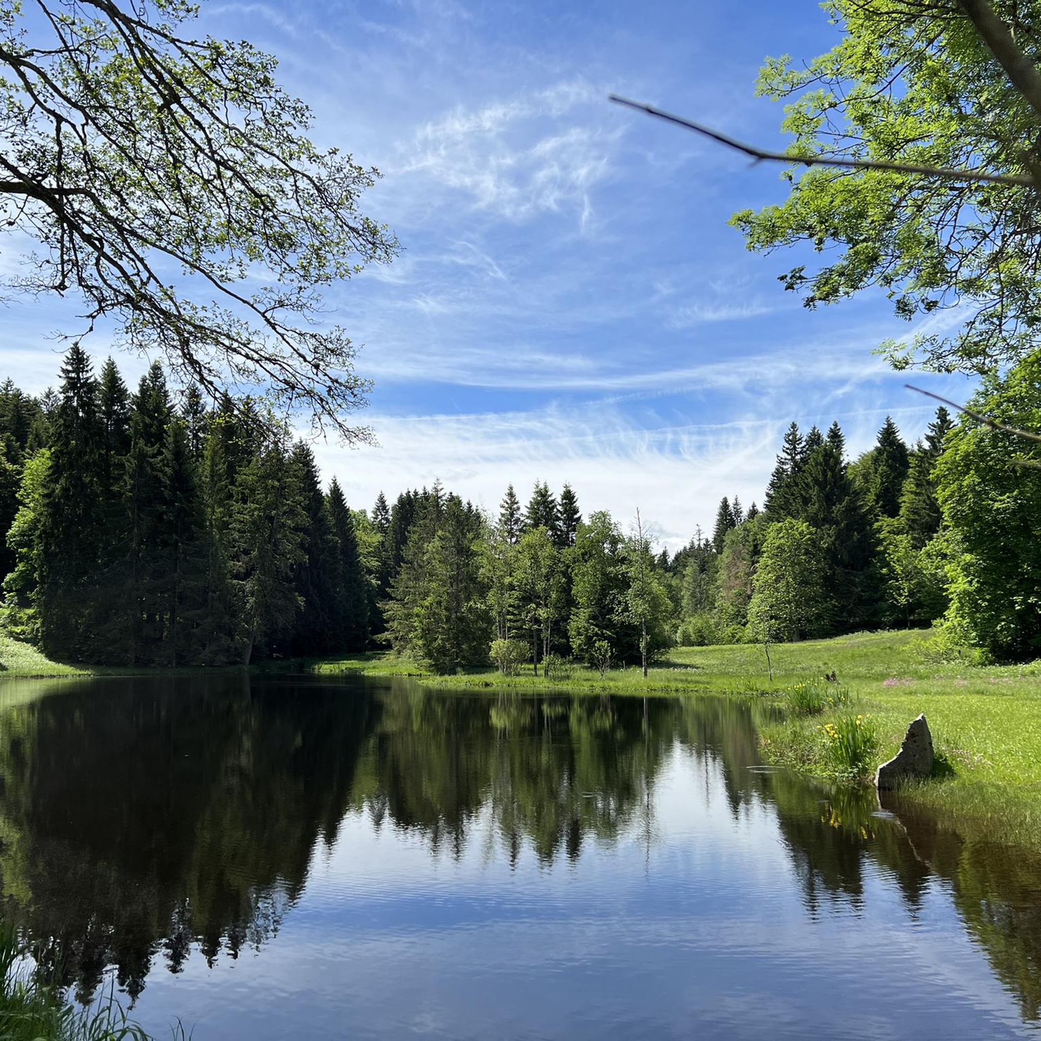
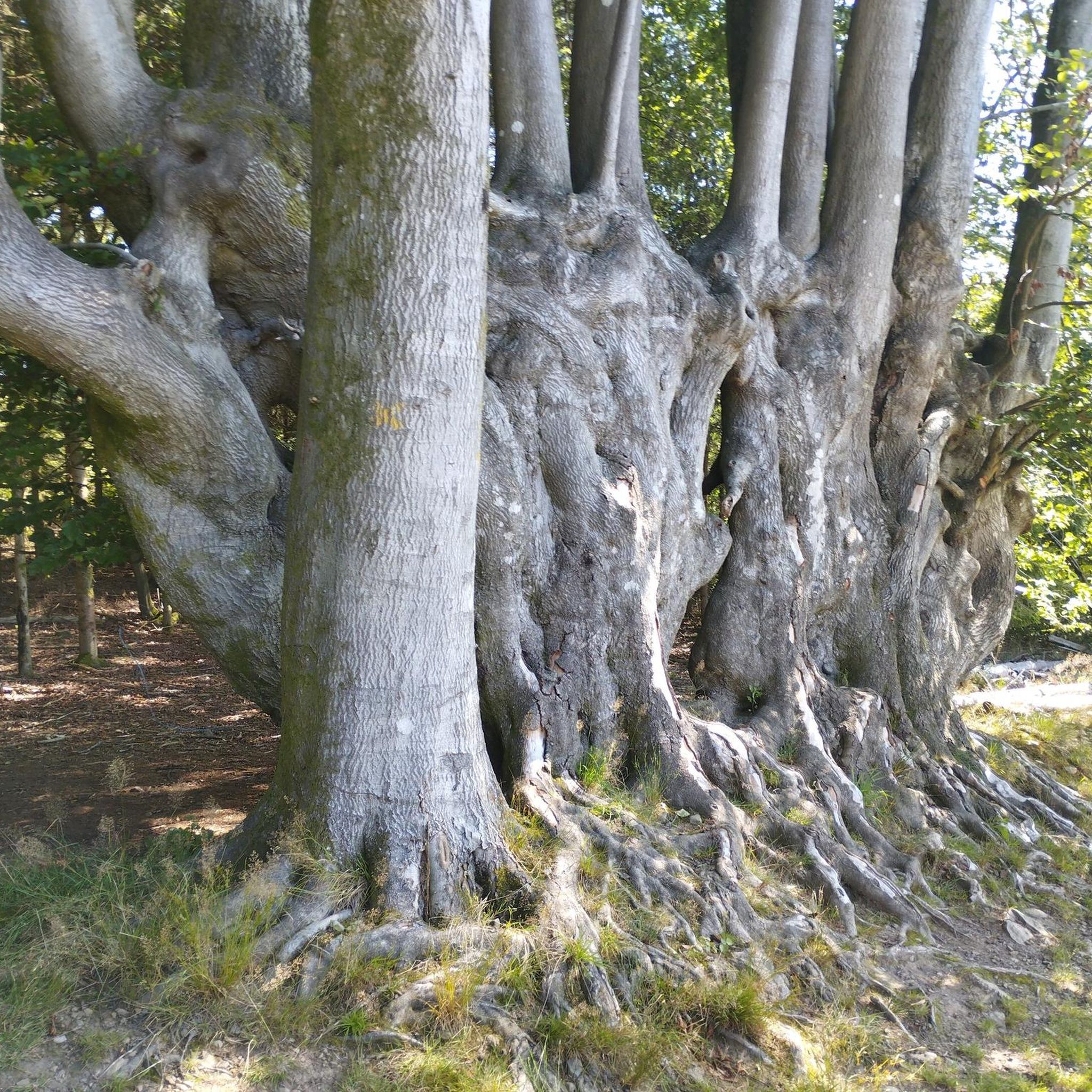
Tips from the Community

Nicknamed "The Lookout", this 15-meter-high sandstone tower dates from 1900. It is located on the Avison mountain (altitude of 593 meters) and offers a beautiful view of the surrounding peaks.
0
0

A beautiful pond to run around in, with some eye-catching wooden carvings.
2
0
These sandstone rocks are 15 meters high and the view from the top of these rocks is magnificent.
2
0
These sandstone rocks are 15 meters high and the view from the top of these rocks is magnificent.
2
0

Frequently Asked Questions
How many running routes are available in Laval-Sur-Vologne?
Laval-Sur-Vologne offers a diverse network of over 80 running routes. These include 5 easy paths perfect for beginners, 67 moderate trails, and 11 more challenging options for experienced runners.
Are there any easy or beginner-friendly jogging paths in Laval-Sur-Vologne?
Yes, Laval-Sur-Vologne has 5 easy jogging paths suitable for beginners or those looking for a relaxed run. These routes typically feature gentler terrain and shorter distances, allowing for a comfortable introduction to running in the region.
What kind of terrain can I expect on running trails around Laval-Sur-Vologne?
The running trails in Laval-Sur-Vologne traverse a varied landscape, characterized by forested areas, natural rock formations, and paths alongside natural water bodies. You'll encounter gentle hills and diverse environments, with elevations generally suitable for regular running.
Are there any circular running routes in the area?
Yes, many of the routes around Laval-Sur-Vologne are circular, offering convenient starting and ending points. For example, the Pointhaie Rocks Loop is a popular 3.8-mile (6.2 km) circular trail, and the Pointhaie Pond loop from Bruyères offers a 6.5-mile (10.4 km) woodland and pondside experience.
What are some scenic viewpoints or attractions I can see while running in Laval-Sur-Vologne?
While running in the region, you can encounter several natural attractions. The Great Tendon Waterfall and the Little Waterfall of Tendon are notable natural sights. For panoramic views, consider trails that offer glimpses towards the View from La Brostille (862 m).
Are there any running routes suitable for families with children?
For families, the easier routes are generally the most suitable. Look for paths with minimal elevation gain and shorter distances. The region's forested paths and routes near ponds can offer an enjoyable and accessible experience for all ages, though specific 'family-friendly' designations would depend on the children's age and fitness level.
Can I bring my dog on the running trails in Laval-Sur-Vologne?
Many natural trails in the Laval-Sur-Vologne area are generally dog-friendly, especially those through woodlands and open spaces. However, it's always recommended to keep your dog on a leash and check for any specific local regulations or signage, particularly in nature reserves or protected areas, to ensure a pleasant experience for everyone.
What do other runners enjoy most about jogging in Laval-Sur-Vologne?
The running experience in Laval-Sur-Vologne is highly rated by the komoot community, with an average score of 4.0 stars from over 40 reviews. Runners often praise the varied terrain, including forested paths and natural rock outcrops, as well as the options for different ability levels. Over 600 runners have used komoot to explore the region's diverse trails.
Are there any running routes that pass by water features like ponds or rivers?
Yes, several routes in the region incorporate water features. The Pointhaie Pond loop from Bruyères is a prime example, leading you through woodlands and alongside a pond, offering a refreshing element to your run.
What is the typical distance and elevation gain for running routes in Laval-Sur-Vologne?
Running routes in Laval-Sur-Vologne vary significantly. You can find shorter loops like the Pointhaie Rocks Loop at 3.8 miles (6.2 km) with about 126 meters of elevation gain. Longer options, such as the Pointhaie Rocks loop from Bruyères, extend to 6.2 miles (9.9 km) with around 218 meters of ascent, providing a range of challenges.
Are there options for longer, more challenging runs in the area?
Absolutely. For those seeking a greater challenge, routes like the Beautiful view – Superb view of Les Poulieres loop from Bruyères offer a substantial 17-mile (27.4 km) journey with over 620 meters of elevation gain, categorized as difficult. There are 11 such challenging routes available.
Is public transport available to access running trails in Laval-Sur-Vologne?
While specific public transport links directly to trailheads might be limited, Laval-Sur-Vologne is a commune in the Vosges department, and regional bus services connect it to larger towns like Bruyères. From these towns, you might find closer access points to some of the running routes. Planning your route in advance and checking local transport schedules is advisable.
Where can I find parking for the running trails?
Parking availability varies by trailhead. Many routes, especially those starting from or passing through villages like Bruyères or Beauménil, will have designated parking areas. For example, routes like the Running loop from Beauménil would typically have parking options within the village. It's best to check the individual route details on komoot for specific parking information.
Most popular routes around Laval-Sur-Vologne
Most popular attractions around Laval-Sur-Vologne

Get inspired with the komoot mobile app


Explore more
Browse the best Running Trails & Routes in other regions.
