The best walks and hikes around Saint-Bonnet-De-Four
4.7
(55)
210
hikers
31
hikes
Hiking around Saint-Bonnet-De-Four offers access to a varied natural environment in the Allier department of the Auvergne-Rhône-Alpes region of France. The terrain transitions from the rugged Combraille region in the south to the gentler, rounded hills of the Bocage Bourbonnais to the north. This creates a landscape of meadows, valleys, and distinctive hedgerows. The area is characterized by its tranquil ambiance, providing a serene setting for outdoor activities.
Best hiking trails around Saint-Bonnet-De-Four
- The most popular hiking route is Moulin…
Last updated: July 1, 2026
4.8
(6)
17
hikers
8.52km
02:26
200m
200m
Moderate hike. Good fitness required. Easily-accessible paths. Suitable for all skill levels.
5.0
(3)
16
hikers
5.53km
01:32
100m
100m
Easy hike. Great for any fitness level. Easily-accessible paths. Suitable for all skill levels.

Sign up for free
8
hikers
12.9km
03:25
130m
130m
Moderate hike. Good fitness required. Easily-accessible paths. Suitable for all skill levels.
5.0
(1)
6
hikers
7.98km
02:11
130m
130m
Moderate hike. Good fitness required. Easily-accessible paths. Suitable for all skill levels.
4.5
(2)
6
hikers
9.84km
02:46
200m
200m
Moderate hike. Good fitness required. Easily-accessible paths. Suitable for all skill levels.
Get access to more routes and recommendations from other explorers.
Sign up for free
Already have an account?
Our route recommendations are based on thousands of hikes, rides, and runs completed by other people on komoot.
Start today with a free account
Your next adventure awaits.
Login or Signup


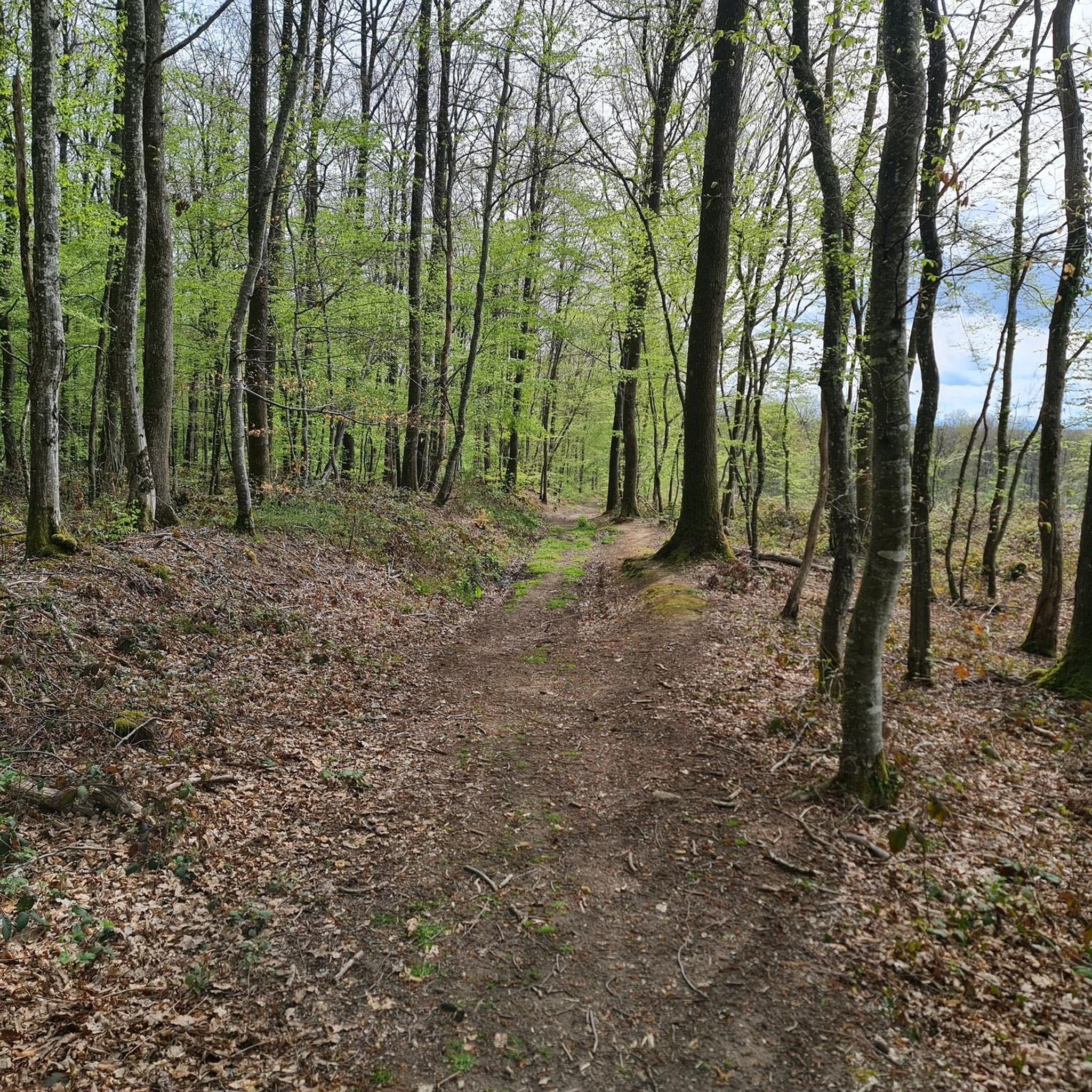
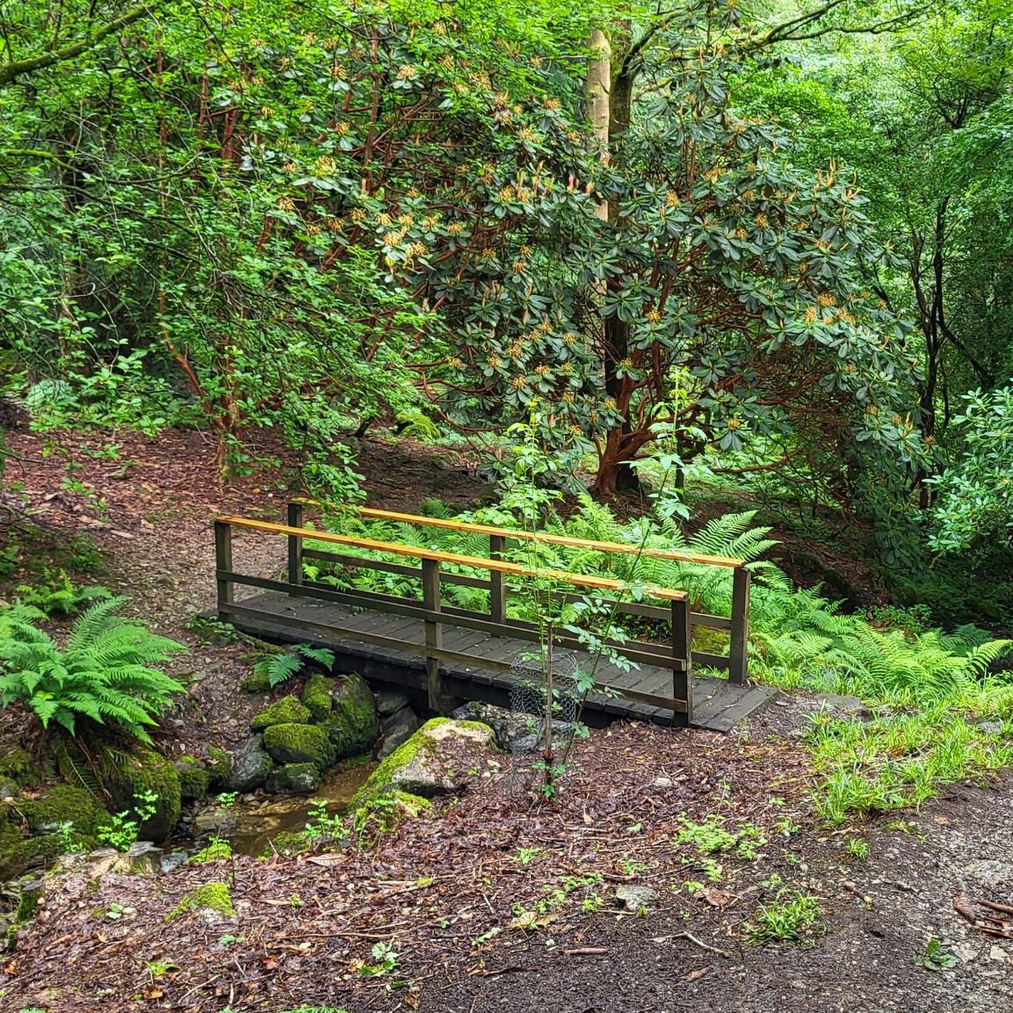
Tips from the Community

Very nice place on the banks of the Bouble which offers a rest area
0
0

Magnificent waterfall. Buccolic!
0
1
Frequently Asked Questions
How many hiking trails are available around Saint-Bonnet-De-Four?
There are nearly 30 hiking trails around Saint-Bonnet-De-Four, offering a range of options from easy strolls to more challenging routes. The komoot community has explored these varied terrains over 180 times.
What types of landscapes can I expect to see while hiking in Saint-Bonnet-De-Four?
The region offers a diverse topography, transitioning from the rugged Combraille region in the south to the gentler, rounded hills of the Bocage Bourbonnais to the north. You'll encounter a patchwork of meadows, valleys, distinctive hedgerows, and tranquil woodlands, including parts of the expansive Colettes forest.
Are there any easy hiking trails suitable for beginners or families?
Yes, Saint-Bonnet-De-Four has several easy trails. For example, the Moulin Berthon Waterfall loop from Marque Faille is an easy 5.5 km route that takes about 1 hour and 30 minutes to complete, with a modest 100m elevation gain, perfect for a relaxed outing.
Can I find circular hiking routes in the area?
Many of the trails around Saint-Bonnet-De-Four are circular, allowing you to start and end at the same point. Popular options include the Moulin Berthon Waterfall loop from Vernusse and the Lake loop from Vernusse, both offering scenic round trips.
Are there any waterfalls to visit on the hiking trails?
Absolutely! The Moulin Berthon Waterfall is a beautiful and noteworthy rural waterfall in the area. You can experience it on routes like the Moulin Berthon Waterfall loop from Vernusse or the easier Moulin Berthon Waterfall loop from Marque Faille. There's also the Cascade loop from Montvicq which explores local cascades.
What do other hikers enjoy most about hiking in Saint-Bonnet-De-Four?
The trails in Saint-Bonnet-De-Four are highly rated by the komoot community, with an average score of 4.7 stars. Hikers often praise the tranquil ambiance, the peaceful woodlands, and the varied natural beauty, including the scenic waterfalls and lakeside paths.
Are there any specific landmarks or points of interest along the trails?
Beyond the natural beauty, you can discover interesting points like the Moulin Berthon Waterfall. Other nearby attractions include the historic Viaduc de la Bouble and the Fontaine Saint-Patrocle, a natural monument.
What is the best time of year to go hiking in Saint-Bonnet-De-Four?
The region's varied landscapes of meadows, valleys, and woodlands are beautiful throughout the warmer months. Spring and autumn offer pleasant temperatures and vibrant scenery, while summer provides lush greenery. The tranquil ambiance makes it enjoyable for outdoor activities across these seasons.
Are the hiking trails in Saint-Bonnet-De-Four dog-friendly?
While specific regulations can vary, generally, the natural environment of Saint-Bonnet-De-Four, with its peaceful woodlands and open spaces, is welcoming for dogs. It's always recommended to keep dogs on a leash, especially near livestock or in protected areas, and to clean up after them.
Are there any hikes that feature a lake?
Yes, the Lake loop from Vernusse is a popular moderate trail that spans approximately 9.8 km. This route takes you through varied landscapes and offers pleasant waterside paths and views, typically completed in about 2 hours and 45 minutes.
What is the typical elevation gain on trails around Saint-Bonnet-De-Four?
The elevation gain varies depending on the trail's difficulty. Easy routes like the Moulin Berthon Waterfall loop from Marque Faille have around 100m of elevation gain. Moderate trails, such as the Moulin Berthon Waterfall loop from Vernusse or the Lake loop from Vernusse, can feature around 200m of elevation gain, offering a good workout without being overly strenuous.
Most popular routes around Saint-Bonnet-De-Four
Most popular attractions around Saint-Bonnet-De-Four

Get inspired with the komoot mobile app


Explore more
Browse the best Hikes in other regions.
