The best road cycling routes around Biebelried
4.6
(1905)
32,337
riders
397
rides
Road cycling routes around Biebelried traverse a landscape characterized by the rolling hills of Lower Franconia, with extensive vineyards and agricultural fields defining much of the terrain. The region features gentle ascents and descents, offering varied road cycling experiences. Routes often follow quiet country roads, providing views of the Main River valley and surrounding rural areas. This area is suitable for road cyclists seeking routes through cultivated landscapes and charming villages.
Best road cycling routes around Biebelried
- The most popular…
Last updated: July 8, 2026
4.9
(39)
54
riders
29.8km
01:21
250m
260m
Moderate road ride. Great for any fitness level. Some segments of this route may be unpaved and difficult to ride.
5.0
(2)
60
riders
Easy road ride. Great for any fitness level. Mostly well-paved surfaces and easy to ride.

Sign up for free
19
riders
Moderate road ride. Great for any fitness level. Some segments of this route may be unpaved and difficult to ride.
9
riders
Hard road ride. Very good fitness required. Mostly well-paved surfaces and easy to ride.
5.0
(4)
27
riders
Easy road ride. Great for any fitness level. Mostly well-paved surfaces and easy to ride.
Get access to more routes and recommendations from other explorers.
Sign up for free
Already have an account?
Our route recommendations are based on thousands of hikes, rides, and runs completed by other people on komoot.
Start today with a free account
Your next adventure awaits.
Login or Signup
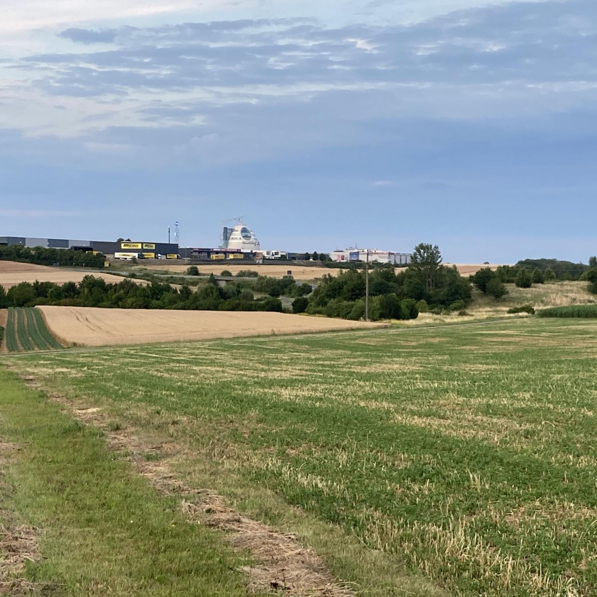
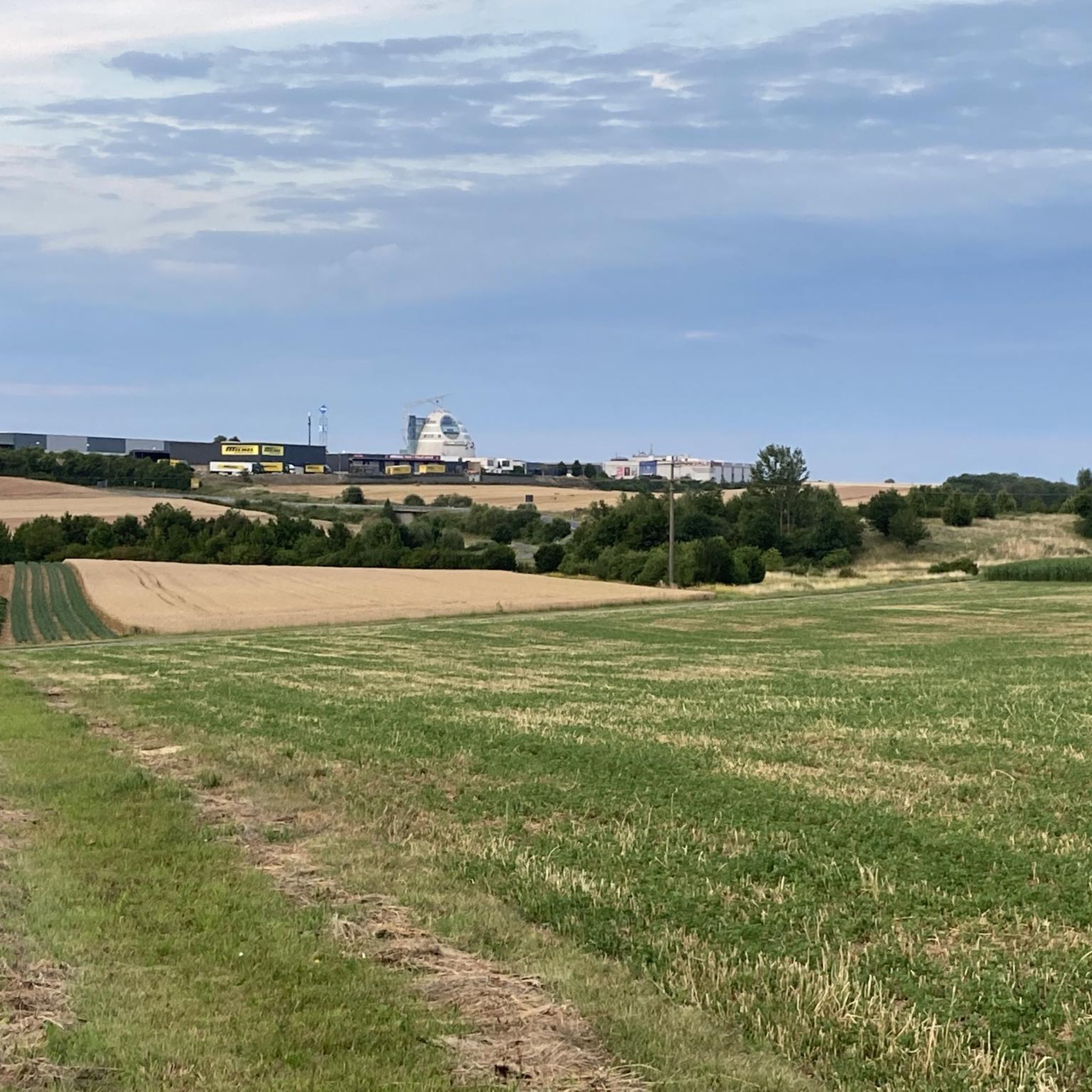
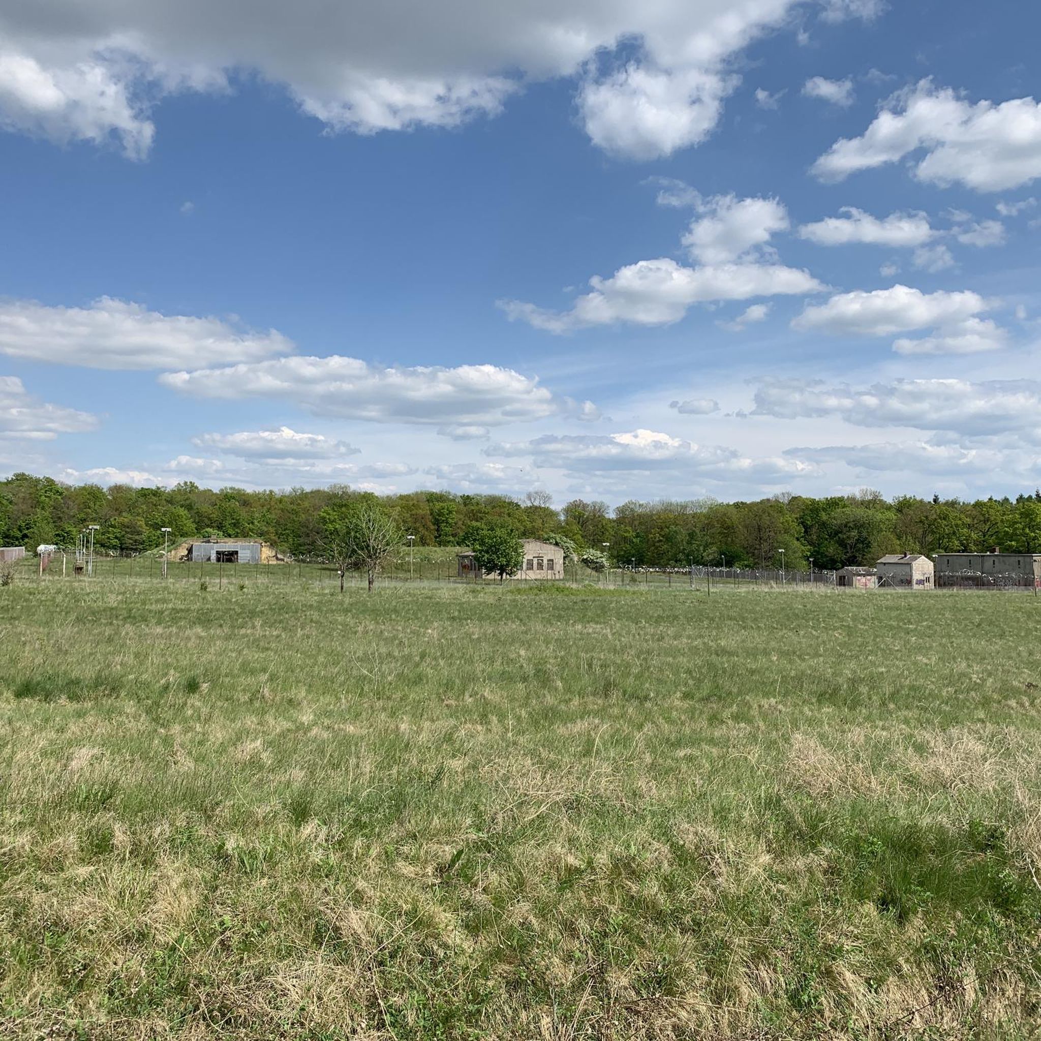
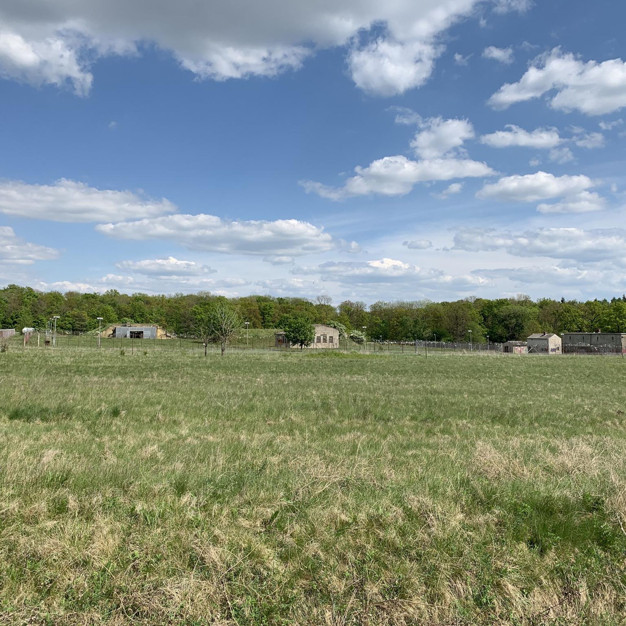
Tips from the Community

Very nice place to linger
1
0
Very good old presentation
0
0

Beautifully laid out and maintained, it's a great place to stroll, relax, or simply enjoy the view of the Main River.
1
0
The Franconian shell limestone offers excellent conditions for viticulture, and winegrowing has a very long tradition here.
0
0
On average, about 10 ships pass through here every day. Standing nearby and watching the huge barges slowly rise and fall is impressive! Technology and nature coexist here.
0
0

The Main, with a length of 527 kilometers, is the longest right-hand tributary of the Rhine. The Main's source rivers originate in the Fichtel Mountains (White Main) and the Franconian Jura (Red Main). On the western edge of the town of Kulmbach, in the Melkendorf district, near Steinenhausen Castle, the two source rivers merge to form the Main River itself. Despite many marked changes of direction, the river maintains its main flow direction from east to west – rare in Central Europe – and touches several Franconian low mountain ranges. Large parts of the Franconian wine-growing region and numerous, partly well-preserved, historic town centers lie along the Main. The Main flows through large metropolitan areas around Würzburg and Frankfurt. Opposite Mainz's old town – between Ginsheim-Gustavsburg and the Maaraue in Mainz-Kostheim – it flows into the Rhine. From there (kilometer 0) upstream to above the railway bridge near Hallstadt (kilometer 387.69)[1], the Main (Ma) is a federal waterway. The Main is not exceptionally long, but nevertheless a historically and geographically important river. In late antiquity, its lower reaches between Miltenberg and Großkrotzenburg formed a short section of the outer border of the province of Upper Germany of the Roman Empire. In the 19th century, the Main line separated the spheres of influence of the two major German powers, Austria and Prussia, within the German Confederation, with its seat in Frankfurt directly on the Main. The Main River, which actually runs for long stretches through Upper Germany, is neither a dialect nor a cultural border, but it is widely understood that the Main line divides Germany into a northern and southern part. In terms of transport, the Rhine-Main region is the center of Germany and Europe.
0
0

For hikers, the pond is a popular stopover on various routes, such as the "Bach Runde von Gerbrunn" or the "Bach Runde von Rottendorf" (Bach Loop). The surrounding area is ideal for walks or short hikes.
6
0
Frequently Asked Questions
How many road cycling routes are available around Biebelried?
There are over 390 road cycling routes around Biebelried, catering to various skill levels. This includes 93 easy routes, 252 moderate routes, and 53 difficult routes, ensuring options for every road cyclist.
Are there easy road cycling routes suitable for beginners or families in Biebelried?
Yes, Biebelried offers numerous easy road cycling routes perfect for beginners or families. An excellent option is the Vineyards of Lower Franconia – Randersacker Vineyards loop from Biebelried, an easy 28.1-mile (45.3 km) trail that takes about 1 hour 53 minutes, offering scenic views through local vineyards with gentle terrain.
Where can I find more challenging road cycling routes near Biebelried?
For advanced road cyclists seeking a challenge, the region offers routes with more significant elevation changes. Consider the demanding Volkach Market Square and Fountain – Rödelseer Gate loop from Dettelbach Bahnhof, a 74.2-mile (119.4 km) route with over 3,000 feet of elevation gain, providing a strenuous ride through diverse landscapes.
Are there circular road cycling routes around Biebelried?
Many road cycling routes around Biebelried are circular, allowing you to start and end at the same point. A popular moderate circular option is the Roadbike loop from Theilheim, which covers 21.4 miles (34.5 km) and features rolling terrain through several small villages.
What kind of scenery can I expect on road cycling routes in Biebelried?
Road cycling routes in Biebelried are characterized by the picturesque landscapes of Lower Franconia. You'll encounter extensive vineyards, rolling hills, agricultural fields, and charming villages. Many routes also offer views of the Main River valley, providing a diverse and scenic backdrop for your ride.
Are there any notable attractions or points of interest along the road cycling routes?
While primarily focused on cycling, the region around Biebelried offers natural highlights. You might pass by the Lindelbach Quarry Nature Monument or cycle near the Main Riverside Path Between Dettelbach and Mainstockheim. The area also features several small lakes like the Mouth of the Rappertsmühlbach into the Zeubelrieder Weiher, offering peaceful spots.
What do other road cyclists enjoy most about the routes in Biebelried?
The road cycling routes in Biebelried are highly rated by the komoot community, with an average score of 4.6 stars from over 1,700 reviews. Cyclists frequently praise the well-maintained quiet country roads, the beautiful vineyard landscapes, and the charming villages that provide pleasant stops along the way.
Are there any shorter road cycling routes for a quick ride?
Yes, if you're looking for a shorter ride, the Vineyards of Lower Franconia – Randersacker Vineyards loop from Theilheim is an excellent choice. This easy 11.0-mile (17.7 km) trail leads through vineyard landscapes and can typically be completed in about 43 minutes.
What is the best time of year for road cycling in Biebelried?
The best time for road cycling in Biebelried is generally from spring through early autumn (April to October). During these months, the weather is typically mild, and the vineyards are lush, offering the most pleasant conditions and scenic views. Summer can be warm, so early morning or late afternoon rides are often preferred.
Are there routes that offer cafe stops or places to rest?
Many routes pass through or near charming villages where you can find cafes, bakeries, or traditional Franconian taverns for a refreshing stop. The region's focus on wine also means there are often opportunities to visit local wineries or 'Heckenwirtschaften' (seasonal wine taverns) for a break.
Is there parking available at the trailheads for road cycling routes?
Parking is generally available in and around the villages that serve as starting points for many routes, including Biebelried itself and nearby communities like Theilheim. Look for designated public parking areas, especially near village centers or sports facilities, though availability may vary.
Can I reach road cycling routes in Biebelried using public transport?
While Biebelried is a smaller community, it is accessible by public transport, primarily buses connecting to larger towns like Würzburg. You can often take your bike on regional trains or buses, though it's advisable to check specific schedules and bike policies with local transport providers beforehand to plan your journey to a suitable starting point.
Are there any moderate-difficulty routes that are a good step up from easy trails?
Absolutely. If you're ready for a slightly more challenging ride after easy trails, the Rothofer Kreisel Junction loop from Biebelried is a great moderate option. This 15.0-mile (24.2 km) route features some rolling hills and takes approximately 1 hour 8 minutes to complete, offering a good balance of effort and enjoyment.
Most popular attractions around Biebelried

Get inspired with the komoot mobile app


Explore more
Browse the best Road cycling routes in other regions.
