The best walks and hikes around Avignonet-Lauragais
4.7
(130)
1,262
hikers
88
hikes
Hiking around Avignonet-Lauragais offers routes through a landscape defined by the historic Canal du Midi and gentle rolling countryside. The terrain primarily consists of low-lying areas with modest elevation changes, making it suitable for accessible walks. Hikers can expect trails that traverse agricultural lands and follow tree-lined canal banks, providing a mix of waterside paths and open views. This area is ideal for those seeking easy hikes around Avignonet-Lauragais.
Best hiking trails around Avignonet-Lauragais
- The most popular hiking route is…
Last updated: October 12, 2026
5.0
(3)
22
hikers
9.39km
02:30
100m
100m
Moderate hike. Good fitness required. Easily-accessible paths. Suitable for all skill levels.
4.5
(2)
17
hikers
16.7km
04:30
210m
210m
Moderate hike. Good fitness required. Easily-accessible paths. Suitable for all skill levels.

4.8
(4)
17
hikers
11.8km
03:08
130m
130m
Moderate hike. Good fitness required. Easily-accessible paths. Suitable for all skill levels.
4.0
(1)
11
hikers
5.36km
01:22
20m
20m
Easy hike. Great for any fitness level. Easily-accessible paths. Suitable for all skill levels.
4
hikers
9.04km
02:25
100m
100m
Moderate hike. Good fitness required. Easily-accessible paths. Suitable for all skill levels.
Get access to more routes and recommendations from other explorers.
Already have an account?
Our route recommendations are based on thousands of hikes, rides, and runs completed by other people on komoot.
Start today with a free account
Your next adventure awaits.
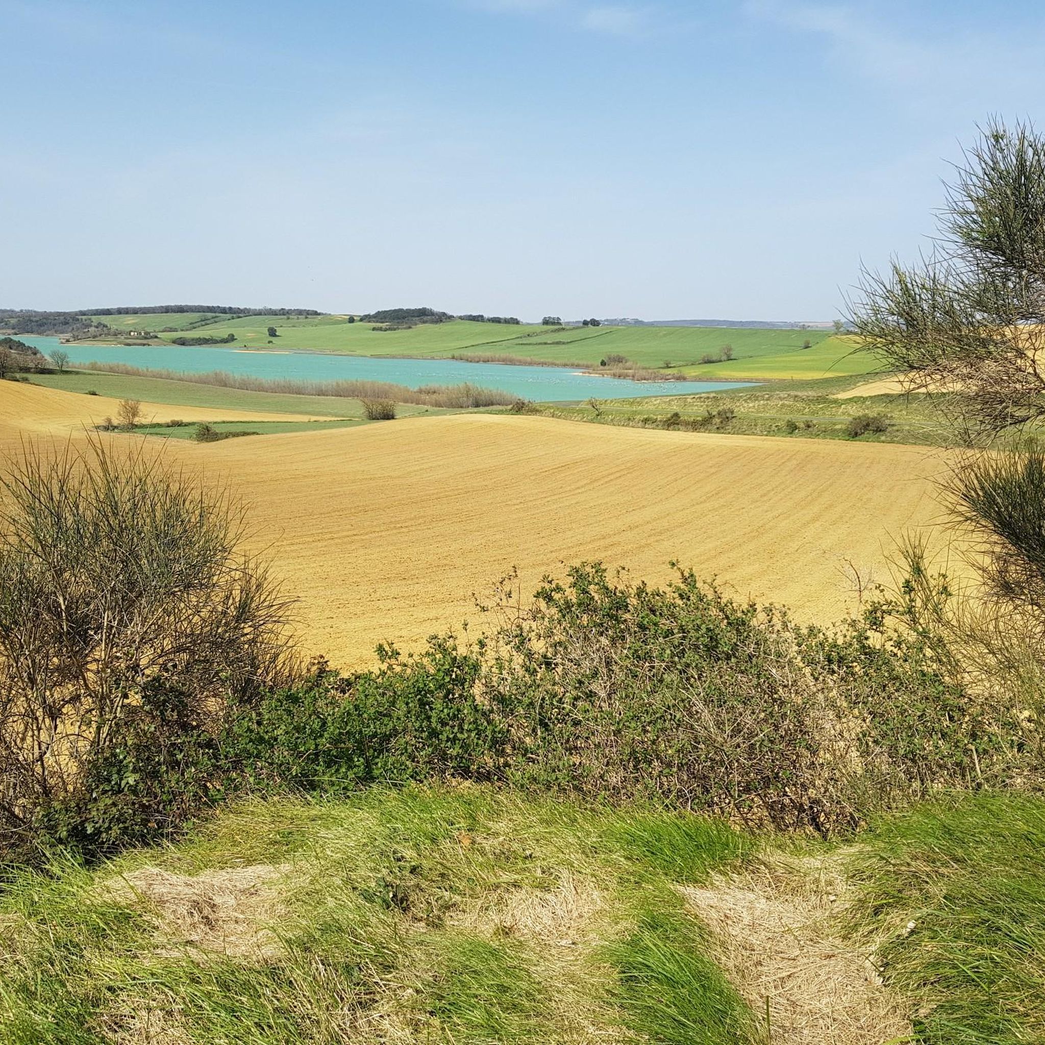
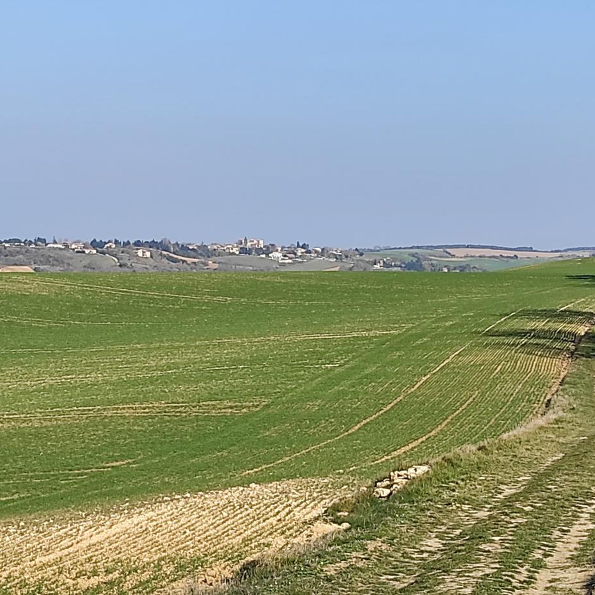

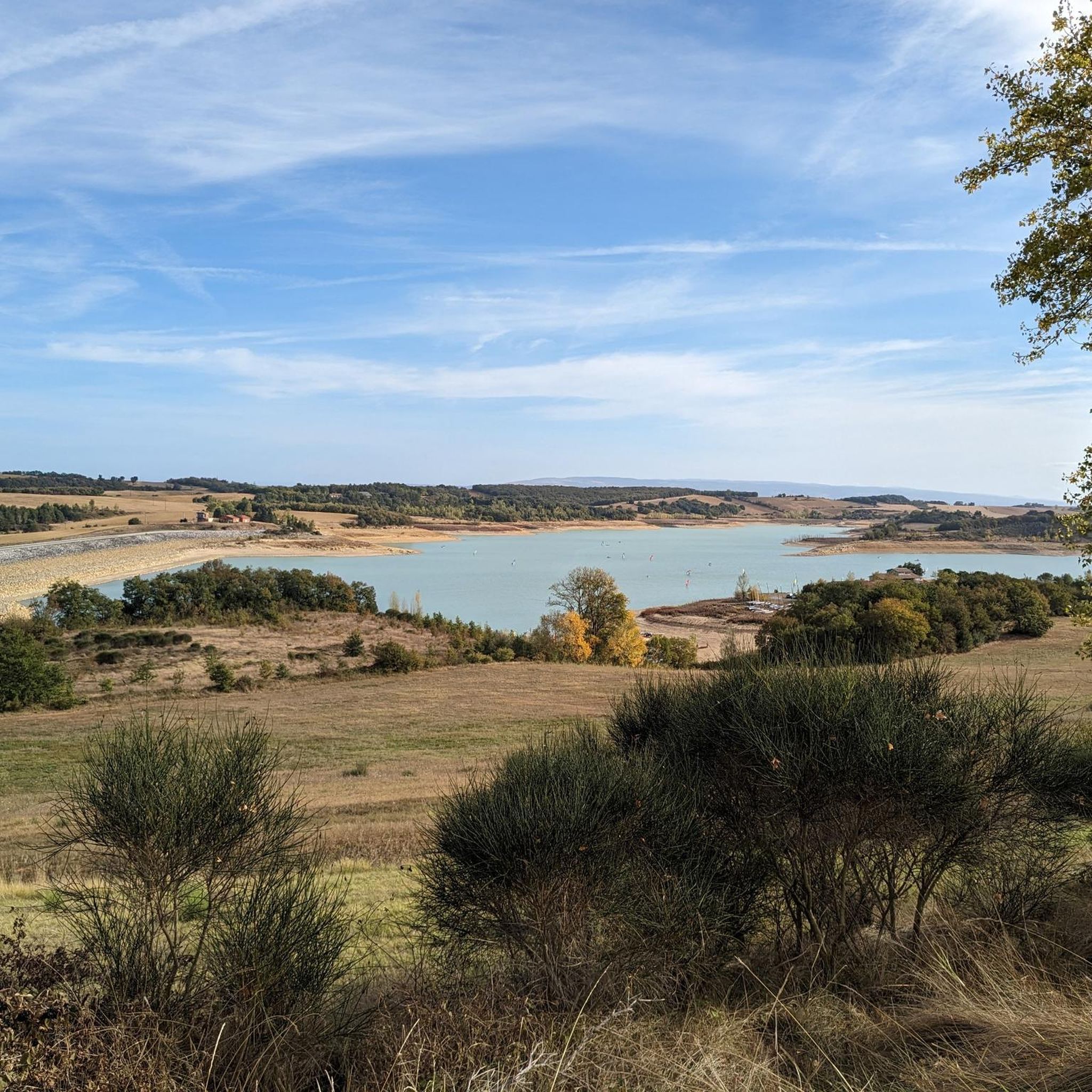

Tips from the Community

With its simple lock, its typical lock keeper's house from the first half of the 19th century, its red brick bridge with a keystone, and its bucolic 19th-century harbor, this is an absolutely picturesque site!
0
0
The aqueduct of the vaults was designed by Vauban and built between 1688 and 1690 by master masons Jean Barrière and Pierre Berquiere. It is located in Haute-Garonne, in the communes of Renneville and Gardouch, and allows the Canal du Midi to cross the Hers. The edifice has been listed as a supplementary inventory of Historic Monuments by decree on April 24, 1998.
0
0
The Canal du Midi, formerly Canal Royal, is a 17th-century technical feat designed by Pierre-Paul Riquet to connect the Atlantic to the Mediterranean. Today, it is above all a place for relaxation and discovery, where heritage, nature, and conviviality blend together.
0
0
To visit: Naurouze (Water divide on the Canal du Midi, plane tree alley, octagonal basin, Ocean lock...). Archaeological site from the 3rd and 4th centuries (thermae, sarcophagi...). Heights of the Village (Aéropostale Lighthouse, Chappe telegraph tower, 14th-century castle gate, belvedere).
0
0
To visit: Naurouze (Watershed on the Canal du Midi, plane tree alley, octagonal basin, Ocean lock...). Archaeological site from the 3rd and 4th centuries (thermae, sarcophagi...). Hauts du Village (Aéropostale Lighthouse, Chappe telegraph tower, 14th-century castle gate, viewpoint).
0
0
The Canal du Midi, formerly Canal Royal, is a 17th-century technical feat designed by Pierre-Paul Riquet to connect the Atlantic to the Mediterranean. Today, it is above all a place for relaxation and discovery, where heritage, nature, and conviviality blend together.
0
0
It is sometimes called the Naurouze lock because it is the closest lock to the Naurouze threshold. The Ocean lock marks the beginning of the ascending section of the canal when going from west to east.
0
0
In May 1787, Thomas Jefferson — then future President of the United States and ambassador to France — traveled along the Canal du Midi. Commemorative plaques mark his historic passage, notably on the lock house of the Ocean lock (Montferrand / Négra) and in the village of Le Somail.
0
0
Frequently Asked Questions
How many hiking trails are there in Avignonet-Lauragais?
There are over 80 hiking routes available around Avignonet-Lauragais, catering to various skill levels. You'll find a good mix of easy, moderate, and a few more challenging options.
Are there easy hiking trails suitable for beginners or families in Avignonet-Lauragais?
Yes, Avignonet-Lauragais is well-suited for easy hikes and family outings. Approximately half of the trails are classified as easy, offering gentle terrain and minimal elevation changes, perfect for a relaxed walk along the Canal du Midi or through the countryside.
What kind of terrain can I expect on hikes around Avignonet-Lauragais?
The terrain around Avignonet-Lauragais is characterized by low-lying areas, gentle rolling countryside, and the historic Canal du Midi. You'll primarily encounter flat paths along the canal, agricultural lands, and some modest hills, making for generally accessible walks.
Are there any circular walks available in Avignonet-Lauragais?
Many of the routes in the area are circular, allowing you to start and end at the same point. For example, the Écluse de l'Océan – Canal du midi loop from Avignonet is a popular moderate circular trail that takes you past the historic lock.
What are some interesting landmarks or sights to see along the hiking trails?
Hikers can discover several points of interest. The historic Écluse de l'Océan and the Canal du Midi itself are central features. You might also encounter the Hers Crossing or the Canal du Midi - Water sharing point, which are significant to the canal's history and engineering.
Are there any challenging hikes for experienced trekkers in the area?
While the region is known for its gentle terrain, there are a few routes that offer a bit more challenge. Approximately 5 of the routes are rated as difficult, often involving longer distances or slightly more varied elevation, though significant mountain climbing is not typical here.
What do other hikers enjoy most about the trails in Avignonet-Lauragais?
The trails in Avignonet-Lauragais are highly rated by the komoot community, with an average score of 4.6 stars. Reviewers often praise the peaceful canal-side paths, the charming rural scenery, and the accessibility of the routes for all skill levels.
Can I find trails that are less crowded for a more peaceful experience?
Many of the trails, especially those venturing slightly away from the main Canal du Midi towpaths, offer a quieter experience. Exploring routes through the agricultural fields or smaller village loops can provide a more secluded walk, particularly outside of peak tourist seasons.
Is it possible to access hiking trailheads using public transport in Avignonet-Lauragais?
Access to trailheads by public transport can be limited in this rural area. While Avignonet-Lauragais has some local bus services, many trailheads may require a car for convenient access. It's advisable to check local bus schedules if you plan to rely on public transport.
What is the best time of year for hiking in Avignonet-Lauragais?
Spring and autumn are generally the best times for hiking in Avignonet-Lauragais. The weather is mild, and the landscape is vibrant with spring blooms or autumn colors. Summer can be pleasant, especially along the shaded canal paths, but can also be quite warm. Winters are generally mild but can be damp.
Are there any long-distance hiking options around Avignonet-Lauragais?
While most routes are day hikes, the presence of the Canal du Midi offers opportunities for longer walks by connecting various segments. You can create extended routes by linking different sections of the canal path, such as the Old Naurouze Basin – Naurouze Summit loop from Avignonet, which is one of the longer local options at 17 km.
What kind of wildlife might I spot while hiking in Avignonet-Lauragais?
Along the Canal du Midi, you might spot various waterfowl, including ducks and swans. The surrounding agricultural lands and wooded areas are home to common birds, small mammals like rabbits, and occasionally deer. Keep an eye out for local flora and fauna, especially in the quieter sections of the trails.
Most popular routes around Avignonet-Lauragais
Most popular attractions around Avignonet-Lauragais

Get inspired with the komoot mobile app


Explore more
Browse the best Hikes in other regions.
