The best cycling routes around Saint-Martin-La-Plaine
4.3
(272)
2,046
riders
211
rides
Touring cycling routes around Saint-Martin-La-Plaine are situated in the Loire department of the Auvergne-Rhône-Alpes region, within the Jarez region. The area features diverse topography, including the Pilat massif, the Gier depression, and the escarpment of the Châtelard massif, part of the Monts du Lyonnais ridge. Deeply incised river valleys and elevation differences ranging from 257 to 630 meters contribute to varied terrain for cycling.
Best touring cycling routes around Saint-Martin-La-Plaine
- The most popular touring cycling route is Faucharat Viewpoint –…
Last updated: July 15, 2026
4.6
(14)
50
riders
74.0km
05:19
1,560m
1,560m
Hard bike ride. Very good fitness required. Mostly paved surfaces. Suitable for all skill levels.
4.4
(36)
52
riders
54.4km
03:57
1,040m
1,040m
Hard bike ride. Very good fitness required. Mostly paved surfaces. Suitable for all skill levels.

Sign up for free
4.0
(2)
47
riders
48.5km
04:17
1,000m
1,000m
Hard bike ride. Very good fitness required. Mostly paved surfaces. Suitable for all skill levels.
5.0
(3)
36
riders
32.1km
02:54
710m
710m
Hard bike ride. Very good fitness required. Mostly paved surfaces. Suitable for all skill levels.
4.3
(3)
29
riders
49.3km
04:19
1,110m
1,110m
Hard bike ride. Very good fitness required. You may need to push your bike for some segments of this route.
Get access to more routes and recommendations from other explorers.
Sign up for free
Already have an account?
Our route recommendations are based on thousands of hikes, rides, and runs completed by other people on komoot.
Start today with a free account
Your next adventure awaits.
Login or Signup
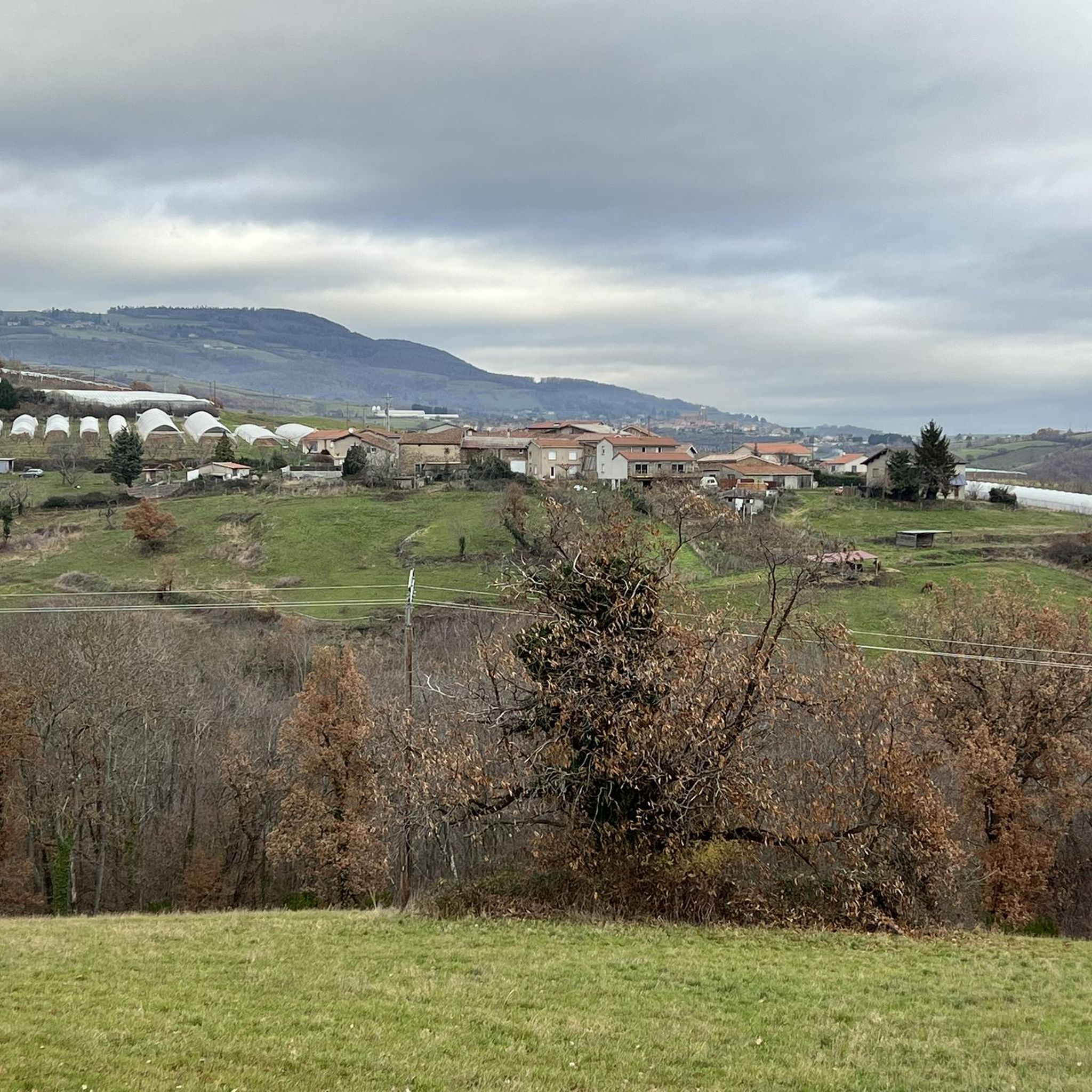
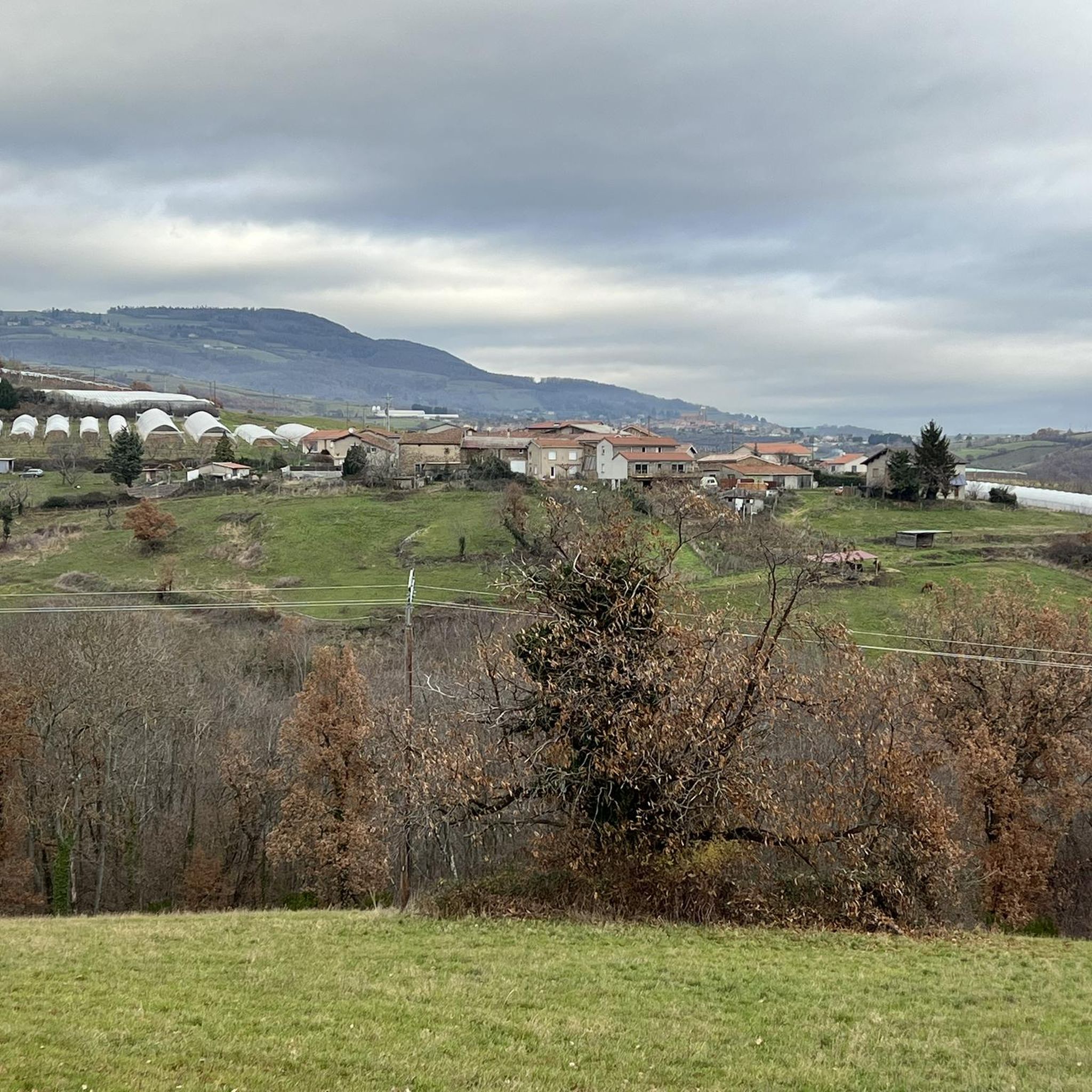

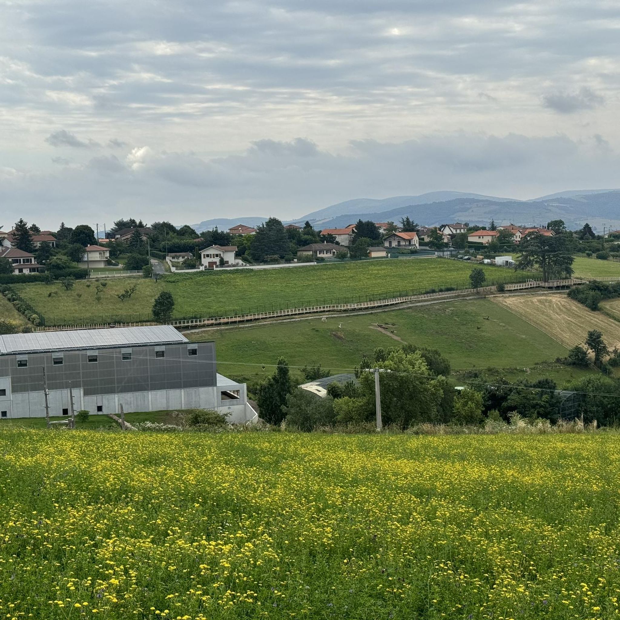
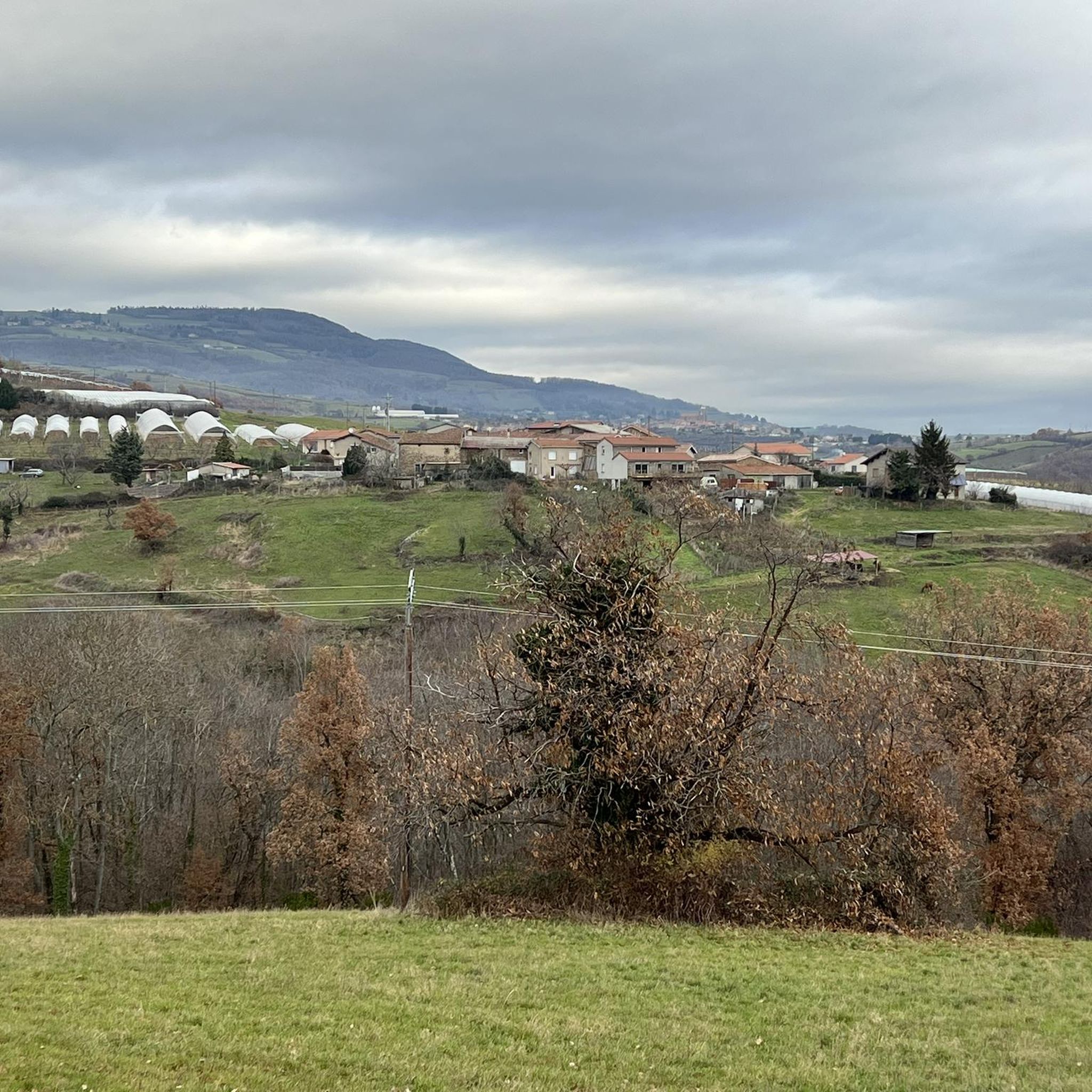
Tips from the Community

The Col de Pavezin is certainly not the highest, but it is no less mythical. The inventor of the derailleur, Paul de Vivié, who settled here, made it an unmissable rendezvous. The pass is located between the Rhône valley and the Gier valley, and opens up a grandiose panorama of the Alps and the Rhône furrow.
0
0

on the watershed between the ocean and the Mediterranean
0
0


tracks around the dam are very smooth
0
0
THE crossroads of all the walks in the area, with the little refreshing break at the inn, it's perfect (change of owner in progress, for the moment it is closed)
0
0

Frequently Asked Questions
How many touring cycling routes are available around Saint-Martin-La-Plaine?
There are over 200 touring cycling routes available around Saint-Martin-La-Plaine, offering a wide range of options for different skill levels and preferences. The komoot community has explored these routes over 1,900 times.
What are the typical difficulty levels for touring cycling routes in this area?
The routes around Saint-Martin-La-Plaine cater to various fitness levels. You'll find a few easy routes, around 65 moderate options, and over 130 difficult routes, many of which feature significant elevation changes due to the region's diverse topography.
Are there any easy touring cycling routes suitable for beginners or casual riders?
While many routes in the area are challenging, there are a few easy touring cycling routes available. These typically feature more moderate elevation gains and are often on paved surfaces, making them suitable for all skill levels. For example, routes leading through the Gier valley can offer less strenuous options.
Are there any circular touring cycling routes around Saint-Martin-La-Plaine?
Yes, many of the touring cycling routes in the Saint-Martin-La-Plaine area are designed as loops, allowing you to start and finish at the same point. A popular example is the Couzon Dam – Couzon Dam loop from Rive-de-Gier, which takes you through the scenic Gier valley.
What natural features or landscapes can I expect to see while touring cycling in the region?
The region offers a captivating backdrop for touring cyclists. You'll encounter the dramatic Pilat massif, the deeply incised Gier valley, and the escarpment of the Châtelard massif, which is part of the Monts du Lyonnais ridge. The varied terrain, with elevation differences ranging from 257 to 630 meters, ensures diverse and engaging scenery.
Are there any historical sites or cultural attractions accessible from the touring cycling routes?
Absolutely. The area is rich in history. You can visit the medieval village of Sainte-Croix-en-Jarez, a former Carthusian monastery classified as one of France's most beautiful villages. The region also has ties to forging and mining, with historical features like the 'Tour de St Martin' offering panoramic views, and the 'Maison des Forgerons' reflecting its industrial past.
What are some notable viewpoints along the touring cycling routes?
Many routes offer stunning panoramic views. The 'Tour de St Martin' on Pré Bayard provides admirable views over the Gier valley and extends to the Pilat massif. The Faucharat Viewpoint – View from Col du Gratteau loop from Rive-de-Gier is specifically named for its scenic vistas.
Are there any routes that offer significant elevation challenges for experienced touring cyclists?
Yes, the Saint-Martin-La-Plaine area is known for its challenging routes with considerable elevation gains. For instance, the White cross – Col de la Gachet loop from Rive-de-Gier features over 1,000 meters of ascent, providing a robust workout for experienced riders.
What do other touring cyclists enjoy the most about touring cycling in Saint-Martin-La-Plaine?
The area is highly rated by the komoot community, with an average score of 4.4 stars from over 200 reviews. Reviewers often praise the diverse terrain, the challenging climbs, and the beautiful natural landscapes, particularly the views of the Pilat massif and the Gier valley.
Is it possible to combine touring cycling with other outdoor activities in the region?
Absolutely. Saint-Martin-La-Plaine is situated within the heart of the Pilat regional natural park, making it an excellent base for combining cycling with other outdoor pursuits like walking or hiking. The varied topography and natural setting encourage exploration beyond just cycling.
Are there any specific attractions nearby that are worth visiting after a ride?
Yes, a major attraction is the Espace Zoologique de Saint-Martin-la-Plaine, a pioneering sanctuary for over 600 wild animals and the most visited tourist site in the Loire department. You could also visit the Gold Mine of Saint-Joseph for a historical perspective.
What kind of terrain can I expect on the touring cycling routes?
The terrain is quite varied, reflecting the complex geology of the region. You'll encounter everything from paved roads to potentially unpaved segments, especially on more challenging routes. The landscape includes plateaus, deep river valleys, and mountain fringes, offering a mix of surfaces and gradients.
Most popular routes around Saint-Martin-La-Plaine
Most popular attractions around Saint-Martin-La-Plaine

Get inspired with the komoot mobile app


Explore more
Browse the best Cycling routes in other regions.
