The best walks and hikes around Plieux
4.5
(120)
587
hikers
60
hikes
Hiking around Plieux offers exploration of the rolling Gascon countryside in the Gers department of France. The region is characterized by undulating hills and valleys, providing a dynamic terrain for hikers. Many routes feature panoramic views of the surrounding agricultural mosaic, often extending to the Pyrenees mountain range on clear days. Trails frequently traverse fields of various crops and pass through wooded areas, contributing to varied scenery.
Best hiking trails around Plieux
- The most popular hiking route is Gachepouy Castle…
Last updated: August 22, 2026
4.8
(11)
30
hikers
11.5km
03:14
240m
240m
Moderate hike. Good fitness required. Easily-accessible paths. Suitable for all skill levels.
4.4
(31)
192
hikers
28.5km
07:49
460m
460m
Hard hike. Very good fitness required. Easily-accessible paths. Suitable for all skill levels.

Sign up for free
4.0
(6)
18
hikers
8.53km
02:19
120m
120m
Moderate hike. Good fitness required. Easily-accessible paths. Suitable for all skill levels.
4.7
(3)
9
hikers
11.1km
03:01
160m
160m
Moderate hike. Good fitness required. Easily-accessible paths. Suitable for all skill levels.
4.6
(5)
5
hikers
Easy hike. Great for any fitness level. Easily-accessible paths. Suitable for all skill levels.
Get access to more routes and recommendations from other explorers.
Sign up for free
Already have an account?
Our route recommendations are based on thousands of hikes, rides, and runs completed by other people on komoot.
Start today with a free account
Your next adventure awaits.
Login or Signup
Tips from the Community

Very beautiful, richly decorated church from the 14th/15th century. There is a pilgrim stamp in front of the entrance gate!
1
0

Camping Lac des 3 Vallées highlights 140 hectares of wooded land in Lectoure, to the delight of campers. It is close to Castéra-Lectourois (11 km), Lagarde (11 km) and Terraube (12 km). In a hilly landscape with a lake, this campsite offers a water park, privileged locations and top services.
3
0
South of Lectoure, the Lac des 3 Vallées is a body of water located in the heart of the agricultural valleys of the Gers. It is fed by the Petit current. A nautical recreation center will be set up on the banks. You can practice all kinds of sporting activities and take walks on the lake. You can go around it and discover the surroundings via a 14 km walk.
3
0

On the Via Podiensis, pilgrims pass through many towns and can visit many churches. On the 19th stage (counting according to "Rother"), which leads from Saint-Antoine to Lectoure, this church is passed.
2
1
If, as a pilgrim, you have reached LECTOURE on the Camino de Santiago (Chemin de Saint-Jaques), following the Via Podiensis, on the 19th stage (according to the count of the "Rother") coming from Saint-Antoine, a visit to the Cathedral - if it's still open - shouldn't be missed. The fact that this church is no longer the seat of an independent diocese and therefore actually no longer a cathedral in the canonical sense is irrelevant. The church is dedicated to the early Christian martyrs Gervasius and Protasius.
2
3
The Occitan town of Lectoure is one of the stations that we reach or cross as pilgrims on the Way of St. James (Chemin de Saint-Jaques), the VIA PODIENSIS. It is the goal of the 19th stage (according to the count of the "Rother") coming from St.Antoine, the next day it goes on to Condom.
2
0

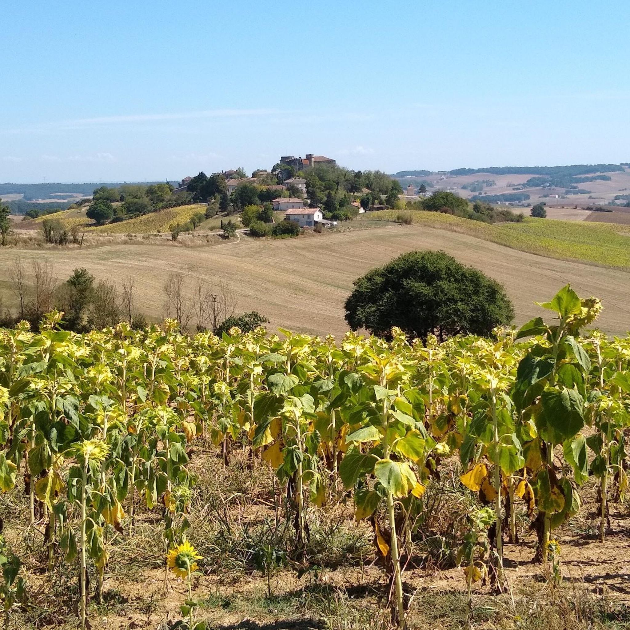
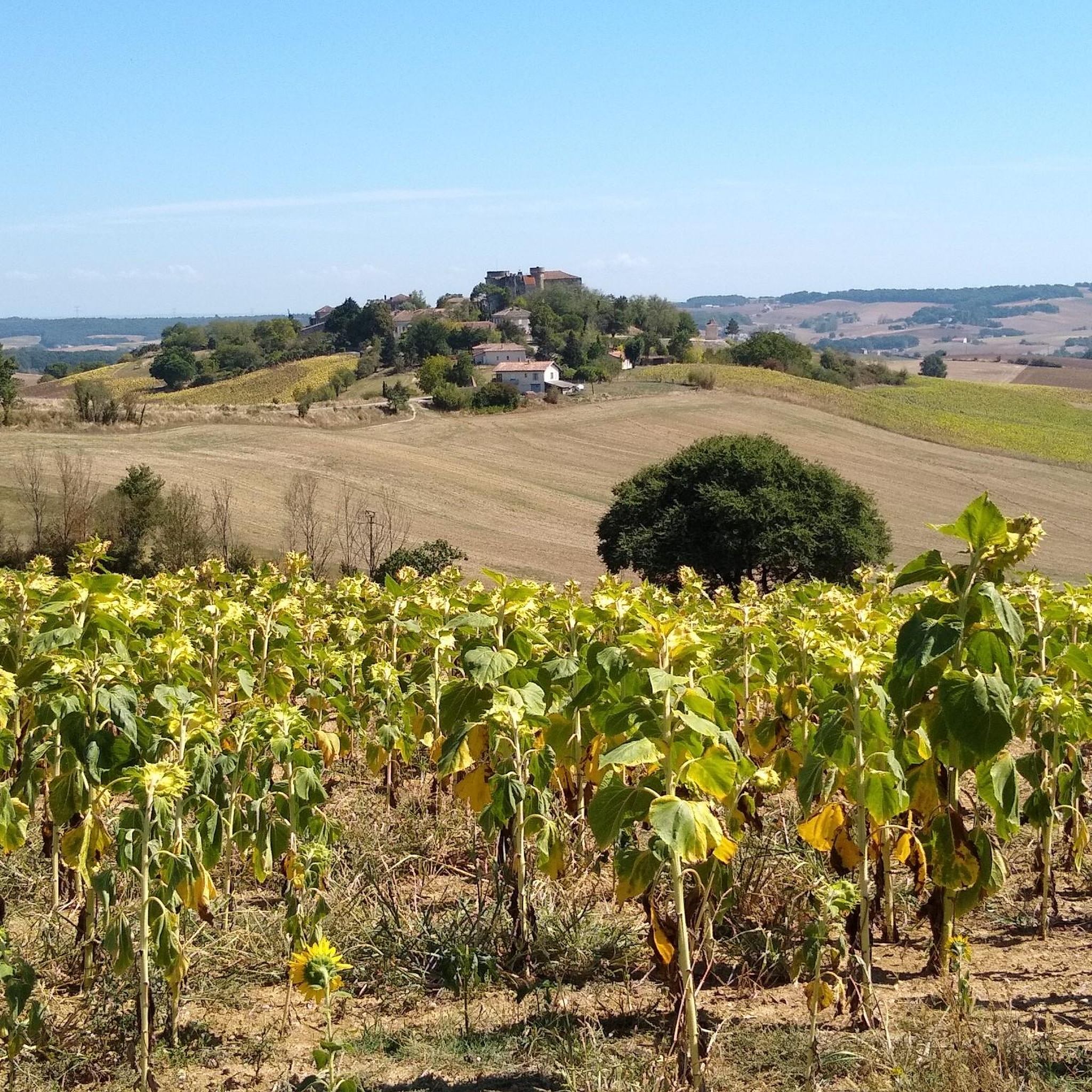
A beautiful place where you can hike from the village of Lectoure. In the middle of the vines, you will enjoy this view of the village which seems to float just above the vines. You will earn points if you manage to watch the sunrise!
2
1

a former castle in which tons of antiques are offered for sale in all rooms and on several floors
2
0
Frequently Asked Questions
How many hiking trails are available around Plieux?
There are over 60 hiking trails around Plieux, offering a wide range of options for different skill levels and preferences. The region is known for its diverse landscapes and panoramic views.
What is the best time of year for hiking in Plieux?
The spring and autumn months are ideal for hiking around Plieux. During these seasons, the weather is generally mild, and the countryside is vibrant with blooming flowers or rich autumnal colors. Clear days often provide expansive views of the Pyrenees.
What do other hikers say about the trails around Plieux?
The hiking trails around Plieux are highly rated by the komoot community, with an average score of 4.6 stars from over 140 reviews. Hikers often praise the rolling Gascon countryside, the varied terrain, and the panoramic views that extend to the Pyrenees on clear days.
Are there easy, family-friendly hikes in Plieux?
Yes, Plieux offers a good selection of easy and moderate trails suitable for families. There are 25 easy routes and 31 moderate routes. Many trails traverse gentle rolling hills and pass through charming villages, providing an enjoyable experience for all ages.
Are there challenging hikes for experienced trekkers?
For experienced trekkers, there are 7 difficult routes around Plieux. These trails often feature more significant elevation changes and longer distances. An example is the Gachepouy Castle – Saint Blandine Church loop from Castet-Arrouy, which is a challenging 16.9-mile (27.2 km) route with over 400 meters of elevation gain.
What kind of landscapes can I expect to see while hiking around Plieux?
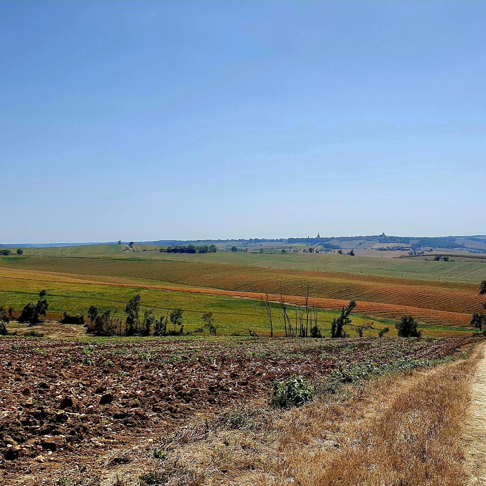
Hikers in Plieux can expect to see classic Gascon countryside with undulating hills and valleys. The routes often pass through an agricultural mosaic of fields, vineyards, and wooded areas like the Bois de Cumont. Many trails offer panoramic views of the surrounding region, frequently extending to the Pyrenees mountains.
Are there any notable attractions or landmarks to see on the trails?
Yes, several trails pass by interesting landmarks. You can explore sites like the Saint-Saturnin Church or the Saint-Orens and Saint-Louis Church. The Lake of the Three Valleys loop from Mességué offers scenic lakeside views, and the Lake of the Three Valleys itself is a highlight.
Can I find trails that offer panoramic views?
Absolutely. The region around Plieux is renowned for its panoramic views. Many routes, especially those traversing the rolling hills, provide expansive vistas of the Gers countryside. On clear days, you can often see the distant Pyrenees mountain range, offering stunning backdrops to your hike.
Are there any trails that pass through charming villages?
Yes, many hiking routes around Plieux are designed to connect or pass through picturesque Gascon villages. For instance, the region research mentions circuits connecting Sainte-Mère and Sempesserre, allowing hikers to experience local architecture and culture. The Lectoure, sunrise – Lectoure loop from Lotissement Les Charties also explores a historic town.
Are the hiking trails around Plieux dog-friendly?
Many trails in the Plieux area are suitable for dogs, especially those that traverse open countryside and less populated areas. However, it's always recommended to keep dogs on a leash, particularly when passing through agricultural fields or near livestock, and to check local regulations for specific routes.
Are there circular walks available around Plieux?
Yes, the area around Plieux offers numerous circular walks, often referred to as 'circuits.' These routes are popular as they allow hikers to return to their starting point without retracing their steps. The region research highlights circuits from villages like Sainte-Mère to Sempesserre and from Cuq to Fals.
Is public transport available to access hiking trailheads in Plieux?
Public transport options directly to specific trailheads in the rural Plieux area may be limited. It is generally recommended to use a car to reach the starting points of most hikes. However, some larger towns nearby, like Lectoure, might have more public transport connections, from which you could potentially start a hike.
Where can I find parking for hiking trails near Plieux?
Parking is typically available in or near the villages where many of the hiking trails begin. Look for designated parking areas in village centers or near local amenities. For more remote trailheads, roadside parking might be an option, but always ensure you are not obstructing local access or private property.
Most popular attractions around Plieux

Get inspired with the komoot mobile app


Explore more
Browse the best Hikes in other regions.
