The best road cycling routes around Saint-Rirand
4.4
(36)
863
riders
108
rides
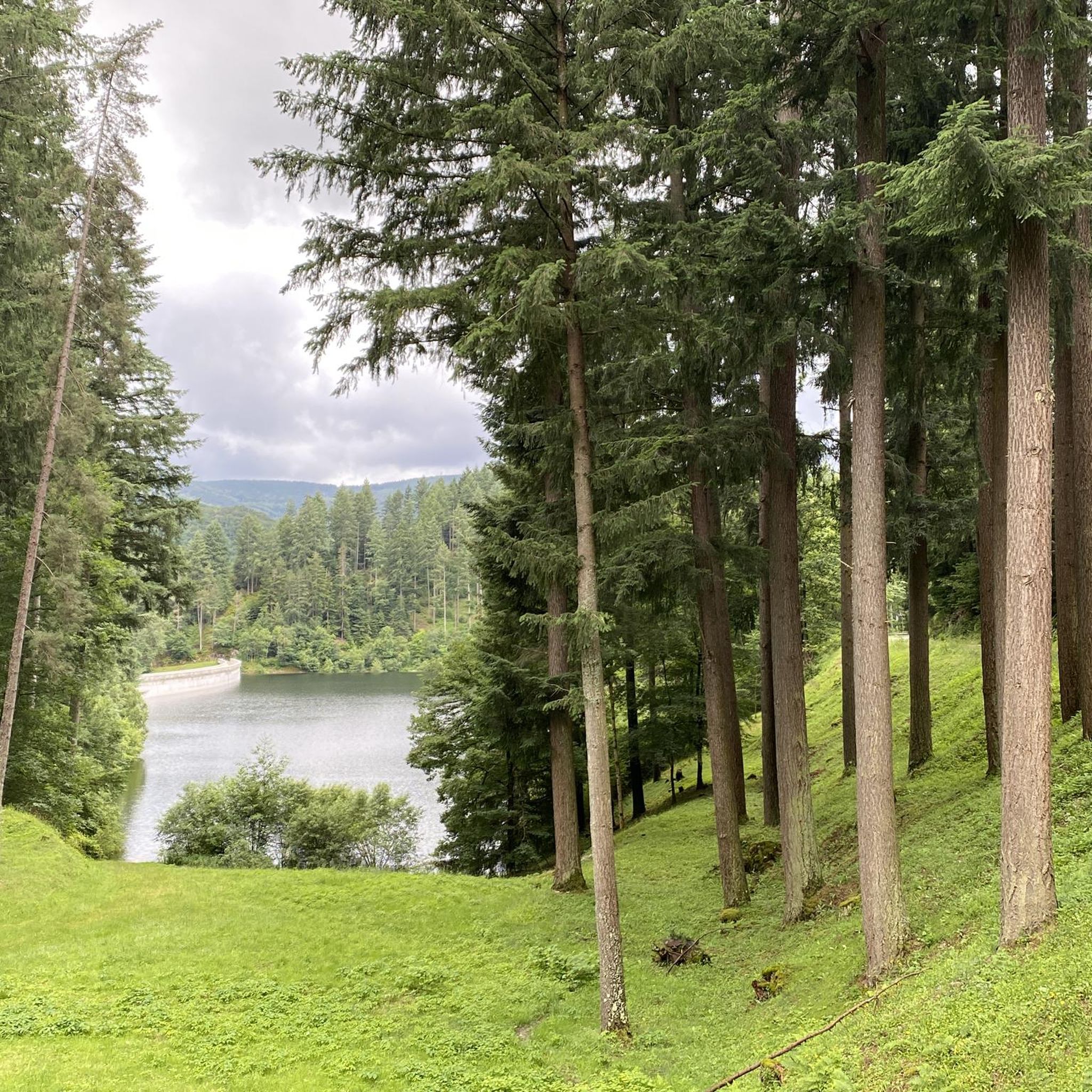
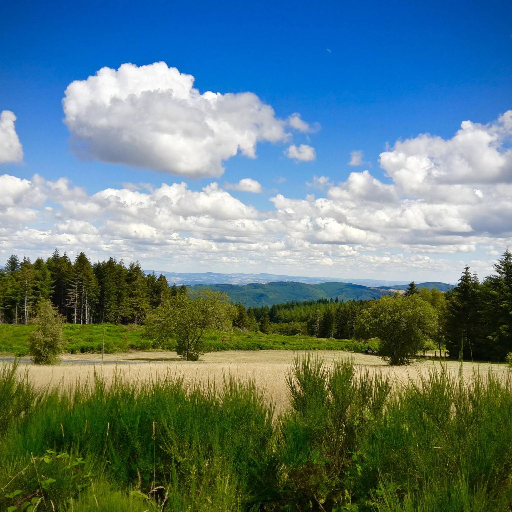
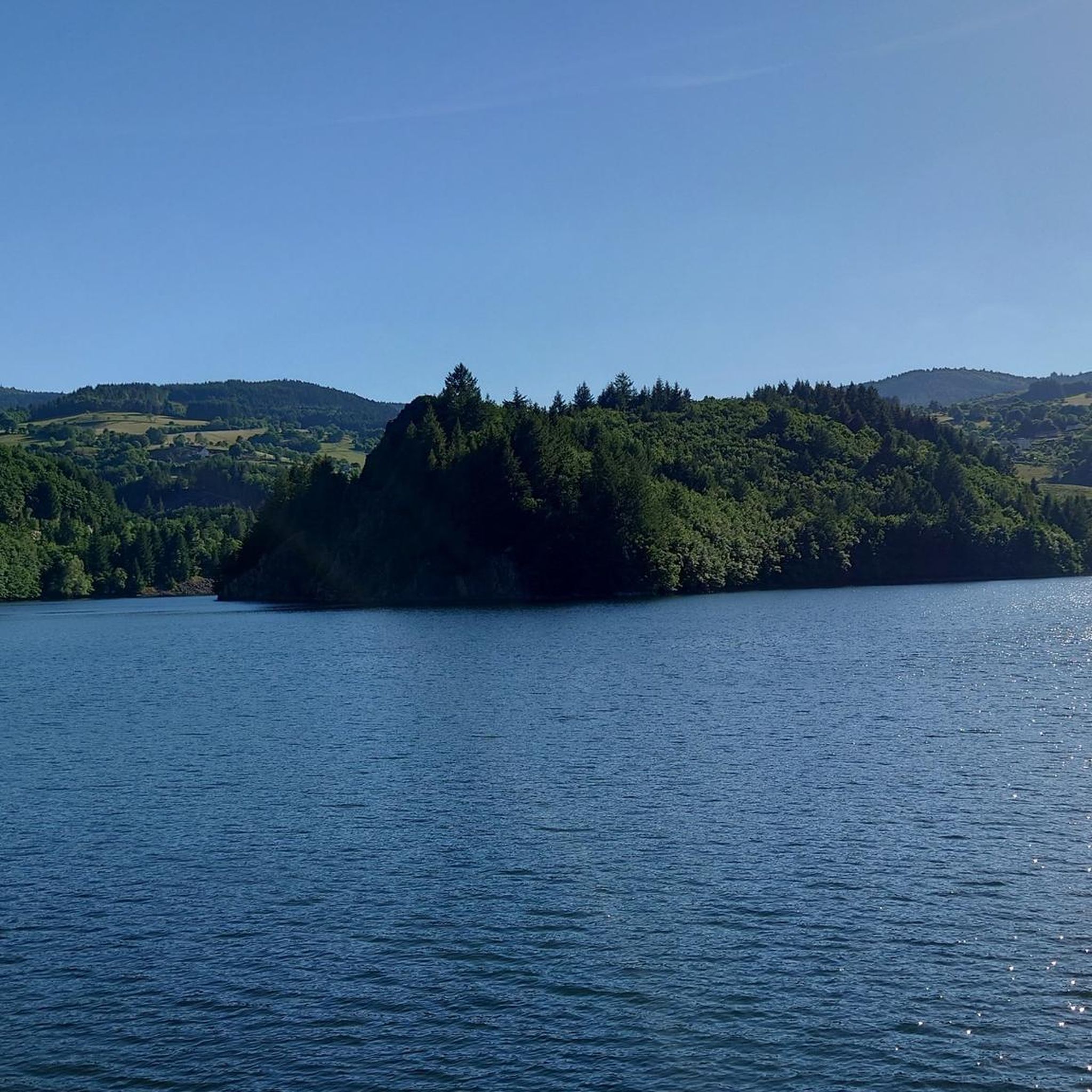
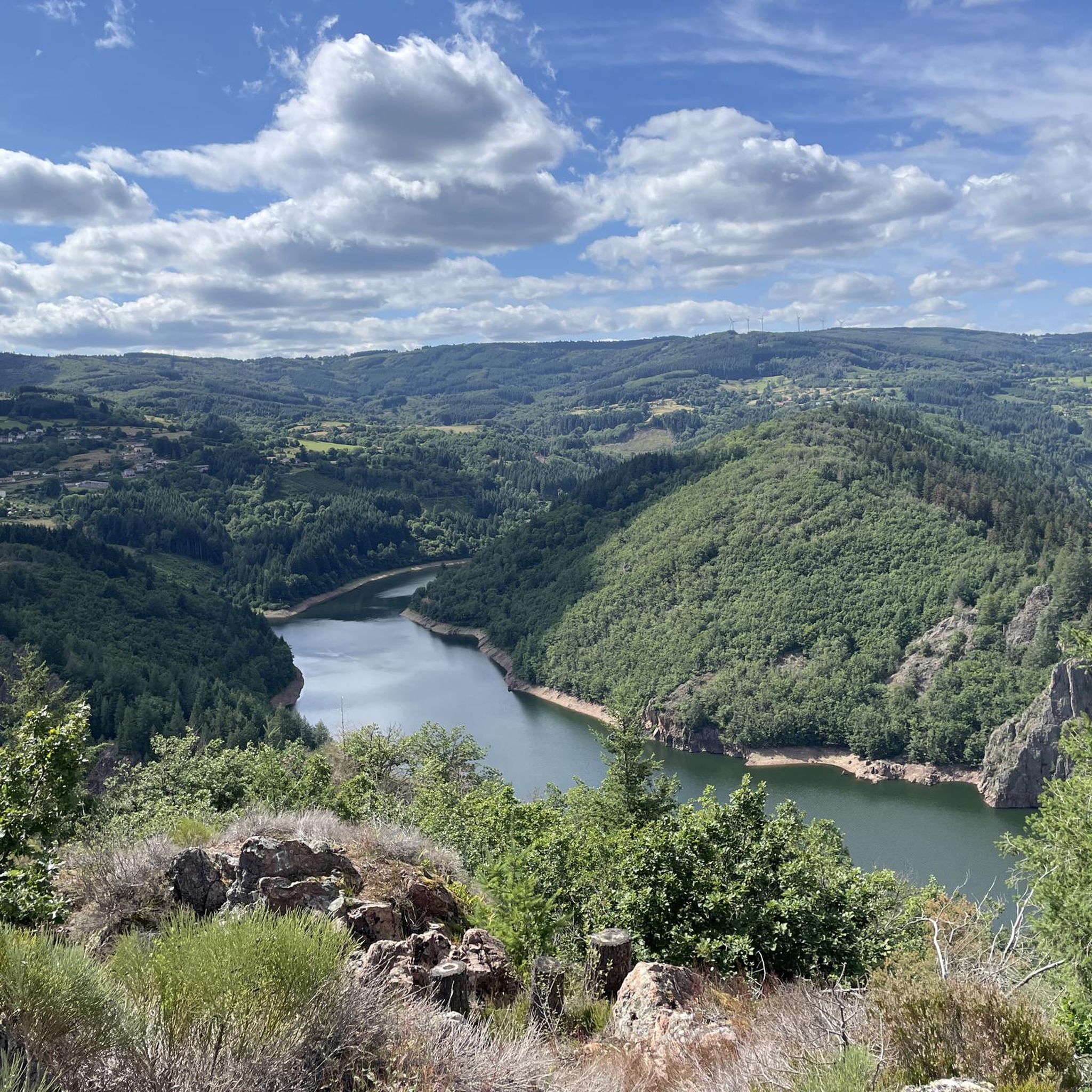
Road cycling routes around Saint-Rirand are set within France's Auvergne-Rhône-Alpes region, offering varied terrain with elevations from 486 meters to 1,035 meters. The area features undulating roads, forests, and expansive views, particularly within the "Côte Roannaise" and near the "Montagne Bourbonnaise" and "Monts de la Madeleine." Cyclists can expect quiet roads through a rural setting, with potential for both challenging ascents and gentler sections along the Teyssonne river.
Best road cycling routes around Saint-Rirand
- The most popular road cycling route…
Last updated: July 10, 2026
4.7
(9)
113
riders
63.7km
03:29
1,090m
1,100m
Hard road ride. Very good fitness required. Mostly well-paved surfaces and easy to ride.
4.0
(2)
49
riders
67.8km
03:15
870m
880m
Moderate road ride. Good fitness required. Mostly well-paved surfaces and easy to ride.

Sign up for free
16
riders
Hard road ride. Very good fitness required. Mostly well-paved surfaces and easy to ride.
21
riders
37.2km
02:04
740m
740m
Moderate road ride. Good fitness required. Mostly well-paved surfaces and easy to ride.
3
riders
115km
05:59
1,950m
1,950m
Hard road ride. Very good fitness required. Mostly well-paved surfaces and easy to ride.
Get access to more routes and recommendations from other explorers.
Sign up for free
Already have an account?
Our route recommendations are based on thousands of hikes, rides, and runs completed by other people on komoot.
Start today with a free account
Your next adventure awaits.
Login or Signup

Tips from the Community

First bike path, nice ride for the average touring cyclist.
0
0

A very nice and pleasant pass with several climbs more or less accessible depending on the level and distance. Each side offers its share of landscapes and small villages. If you want to climb it for the beauty of the landscapes, I recommend the ascent via Les Noës or via Charrier, and for those seeking a difficult climb, Charrier also serves as the hardest side.
1
0

A long, steady climb. Almost no cars, wide roads and beautiful surroundings! Hard to find a coffee or lunch place though.
0
0

Saint-Clément is a small village on the banks of the Bresbe River. If you're hiking the GR 3, you'll probably be delighted to discover its bistro, Chez Louise, which enjoys an excellent reputation. They serve homemade dishes, and with a smile!
0
0

From October to November and in spring, a magnificent view awaits you if you are at the pass early in the morning: mist or clouds often envelop the plain, and the Lyonnais mountains and the Alps protrude above like islands in the middle of the sea!
0
0

One of the beautiful passes in the area. Little traffic
0
0

Beautiful Romanesque church in small "mountain" village
0
0
Saint-Clément is a small village on the edge of the Bresbe. If you walk along the GR 3, you will probably be delighted to discover the bistro Chez Louise, which has an excellent reputation. They serve homemade dishes, and with a smile!
0
0
Frequently Asked Questions
What kind of terrain can I expect when road cycling in Saint-Rirand?
Saint-Rirand offers a diverse landscape for road cyclists, characterized by significant elevation changes ranging from 486 meters to 1,035 meters. You'll find undulating roads, forests, and expansive views, particularly within the "Côte Roannaise" and near the "Montagne Bourbonnaise" and "Monts de la Madeleine." The area provides both challenging ascents and potentially gentler sections along the Teyssonne river, catering to various preferences.
Are there circular road cycling routes available in Saint-Rirand?
Yes, many of the road cycling routes around Saint-Rirand are designed as loops. For example, you can explore the challenging Col de la Croix du Sud – Col de la Loge des Gardes loop from Ambierle, which covers 39.6 miles (63.7 km) with significant elevation gain. Another popular option is the Rouchain Dam Lake – Col de la Croix du Sud loop from Saint-Nicolas-des-Biefs, a longer 54.9-mile (88.4 km) path offering panoramic vistas.
What scenic viewpoints or landmarks can I discover on a road cycling tour?
Road cycling routes around Saint-Rirand offer several scenic points of interest. You can find stunning views from the Plateau de la Verrerie, known for its elevated terrain. The area also features natural landmarks like the Pisserotte Waterfall and the tranquil Rouchain Dam Lake. Additionally, you might pass through charming areas like Saint-Haon-Le-Châtel.
Are there family-friendly road cycling options in Saint-Rirand?
While Saint-Rirand's terrain often features significant elevation changes, there are options for varying skill levels. The region offers 11 easy routes and 64 moderate routes among its 112 total road cycling tours. These easier routes might follow gentler sections along the Teyssonne river or through less hilly parts of the rural landscape, making them more suitable for families or those seeking a less strenuous ride.
When is the best time of year to go road cycling in Saint-Rirand?
The Auvergne-Rhône-Alpes region, where Saint-Rirand is located, generally offers pleasant cycling conditions from spring through autumn. The varied elevations mean that while lower areas might be warm in summer, higher sections could offer cooler temperatures. Spring and early autumn typically provide comfortable weather and beautiful scenery, including cycling through picturesque vineyards in the Côte Roannaise.
What are the parking options for road cyclists in Saint-Rirand?
Given Saint-Rirand's rural nature and dispersed housing, parking is generally available in village centers or near trailheads. Specific parking information for individual routes can often be found on the detailed komoot tour pages. It's advisable to check the starting point of your chosen route for the most convenient parking locations.
How many road cycling routes are available around Saint-Rirand?
There are over 110 road cycling routes available around Saint-Rirand on komoot, offering a wide range of experiences. These include 11 easy routes, 64 moderate routes, and 37 difficult routes, ensuring options for cyclists of all abilities.
What do other road cyclists enjoy the most about road cycling in Saint-Rirand?
The road cycling routes around Saint-Rirand are highly rated by the komoot community, with an average score of 4.5 stars from over 30 reviews. Cyclists often praise the varied elevations, the rural tranquility, and the picturesque vineyards. The quiet roads and diverse terrain, from challenging ascents to gentler riverside paths, are frequently highlighted as key attractions.
Can I cycle past natural features like waterfalls or lakes?
Yes, several road cycling routes in the area allow you to experience natural features. For instance, the Rouchain Dam Lake – Col de la Croix du Sud loop from Saint-Nicolas-des-Biefs passes by the serene Rouchain Dam Lake. You can also find the beautiful Pisserotte Waterfall along some routes, offering a refreshing stop.
Are there routes that explore the Monts de la Madeleine or Montagne Bourbonnaise?
Saint-Rirand is situated near both the Montagne Bourbonnaise and the Monts de la Madeleine, and many routes venture into these hilly and mountainous regions. For example, the Col de la Rivière Noire – Col de la Croix du Sud loop from Saint-Nicolas-des-Biefs takes you through varied elevations and rural scenery characteristic of these areas, providing challenging climbs and rewarding views.
What is the typical difficulty level for road cycling routes in this region?
The road cycling routes around Saint-Rirand offer a range of difficulty levels. While there are 11 easy and 64 moderate routes, a significant portion, 37 routes, are classified as difficult. These difficult routes often feature substantial elevation gain, such as the Rouchain Dam Lake – Col de la Loge des Gardes loop from Épalle, which includes over 1100 meters of ascent over 54.3 km.
Can I find routes that pass through forests or wooded areas?
Yes, the region around Saint-Rirand is known for its forests. Many routes will take you through wooded sections, offering shade and a different scenic experience. The Saint-Nicolas-des-Biefs Municipal Forest is a notable example of a forested area that cyclists can explore.
Most popular attractions around Saint-Rirand

Get inspired with the komoot mobile app


Explore more
Browse the best Road cycling routes in other regions.
