The best running trails around Condéon
4.9
(6)
258
runners
61
runs
Jogging routes around Condéon traverse a diverse landscape in the Charente department of southwestern France. The region features wooded hills in the south and west, alongside cultivated plains and low hills in the northeast. Portions of the southern area extend into the Double forest and the Saintonge moors, offering extensive natural terrain. Altitudes range from 63 meters to 161 meters, providing varied inclines and descents for running.
Best jogging routes around Condéon
- The most popular jogging route is Touvérac Quarries…
Last updated: October 16, 2026
3
runners
8.72km
01:01
80m
80m
Moderate run. Good fitness required. Mostly paved surfaces. Suitable for all skill levels.
4.7
(3)
15
runners
9.92km
01:03
50m
50m
Moderate run. Good fitness required. Mostly paved surfaces. Suitable for all skill levels.

5
runners
9.41km
00:59
80m
80m
Moderate run. Good fitness required. Mostly paved surfaces. Suitable for all skill levels.
9
runners
7.98km
00:50
50m
50m
Moderate run. Good fitness required. Mostly paved surfaces. Suitable for all skill levels.
8
runners
6.62km
00:42
50m
50m
Moderate run. Good fitness required. Mostly paved surfaces. Suitable for all skill levels.
Get access to more routes and recommendations from other explorers.
Already have an account?
Our route recommendations are based on thousands of hikes, rides, and runs completed by other people on komoot.
Start today with a free account
Your next adventure awaits.
Tips from the Community

You have to be very careful with the roots of the acacias which lift the bitumen in places as well as the thorns of these trees. Otherwise very pleasant.
1
0

Consider deviating from the cycle path for a few minutes. Church your real the detour
2
0

Very pretty village, worth visiting!
0
0
Some sections of the track are damaged by tree roots and dangerous on a road bike. I often prefer to go by road.
2
0

5 km north of Barbezieux, we find this beautiful 13th century church in the small hamlet of Saint-Médard. From here, you can take the greenway to Clérac.
1
0

The church is in the form of a rectangle thirty meters long and ten meters wide, flanked by 4 buttresses, one of which is located on the north wing and the 3 others on the south wing, a bell tower and a small extension on the south west part housing a chapel dedicated to the Virgin Massive building, reinforced by buttresses, low and poorly lit, it has a facade with a Romanesque portal surmounted by a large rose window. This gate is made up of 2 straight legs, and a projecting coving made up of 3 semicircular rollers with a keystone. The oculus rose is surrounded by a frieze with a sawtooth motif. The porch opens onto a single nave 22 m long by 9 wide without side aisles. It is made up of 4 bays with semi-circular vaults. The south wall is pierced under the 1st bay with a large semi-circular arch giving access to the chapel. The north wall has a pulpit which bears a monogram which would be that of Louis XIV. The choir of the church, raised from the nave by 3 steps, consists of a flat chevet and a span of semi-circular vaults. The bedside wall is pierced at each end with a rectangular door allowing access to the sacristy. The old sacristy has just been refurbished and has a very modern look with paneling on the floor and ceiling. The chapel of the Virgin is located on the southern extension of the church. It measures 13.50 m long by 7 wide, and consists of a small single nave 10 m long by 7 wide and a choir with a flat apse. The floor of this chapel is 1.25 m lower than the floor of the church corresponding to the initial floor of the old abbey. Access to the bell tower is through a door located on the east wall of the nave of the chapel. It consists of 4 floors and a vaulted ground floor. The facing is made up of medium-sized cut stone for the ground floor and the 1st floor and rubble stone coated with brown lime for the 2nd and 3rd floors.
2
0

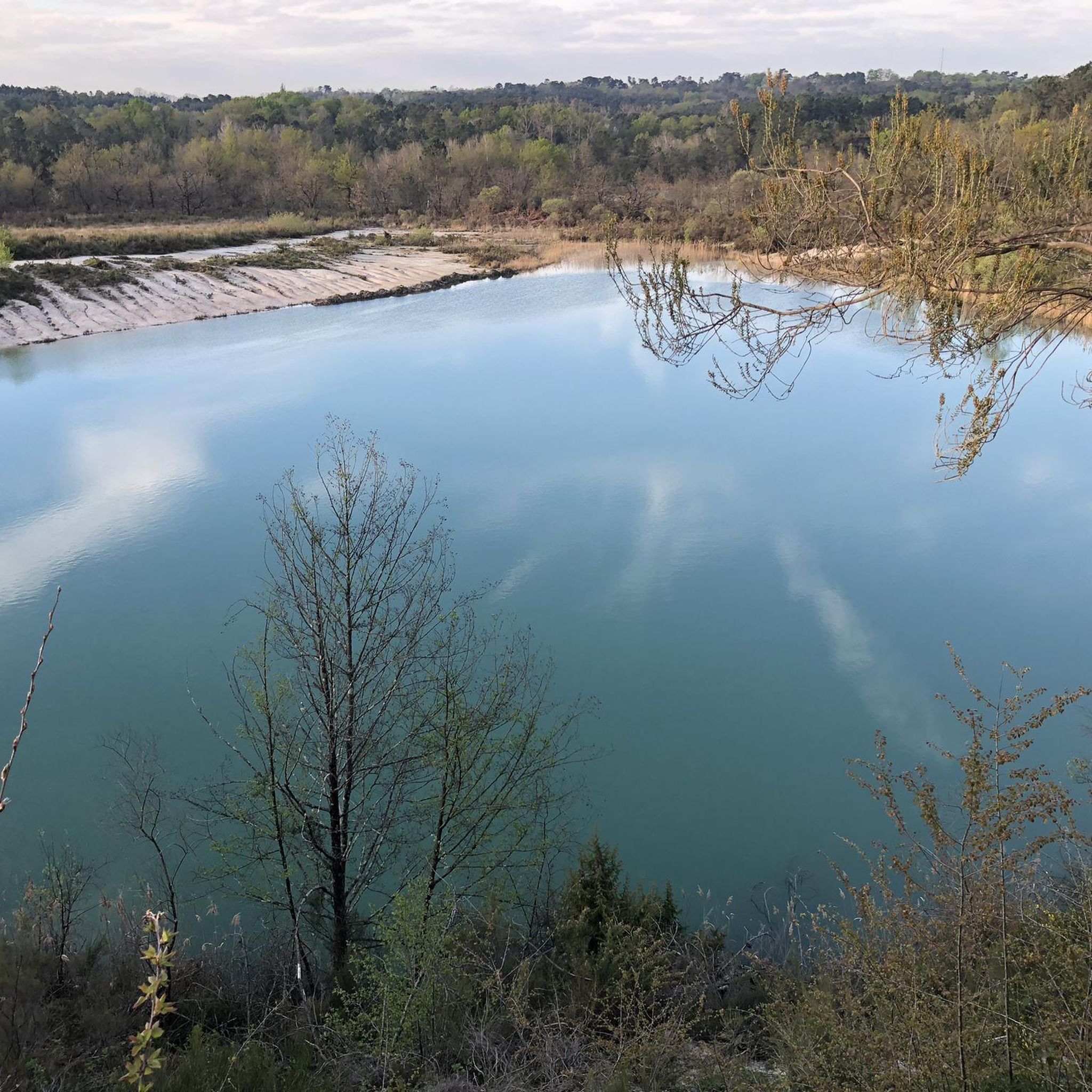
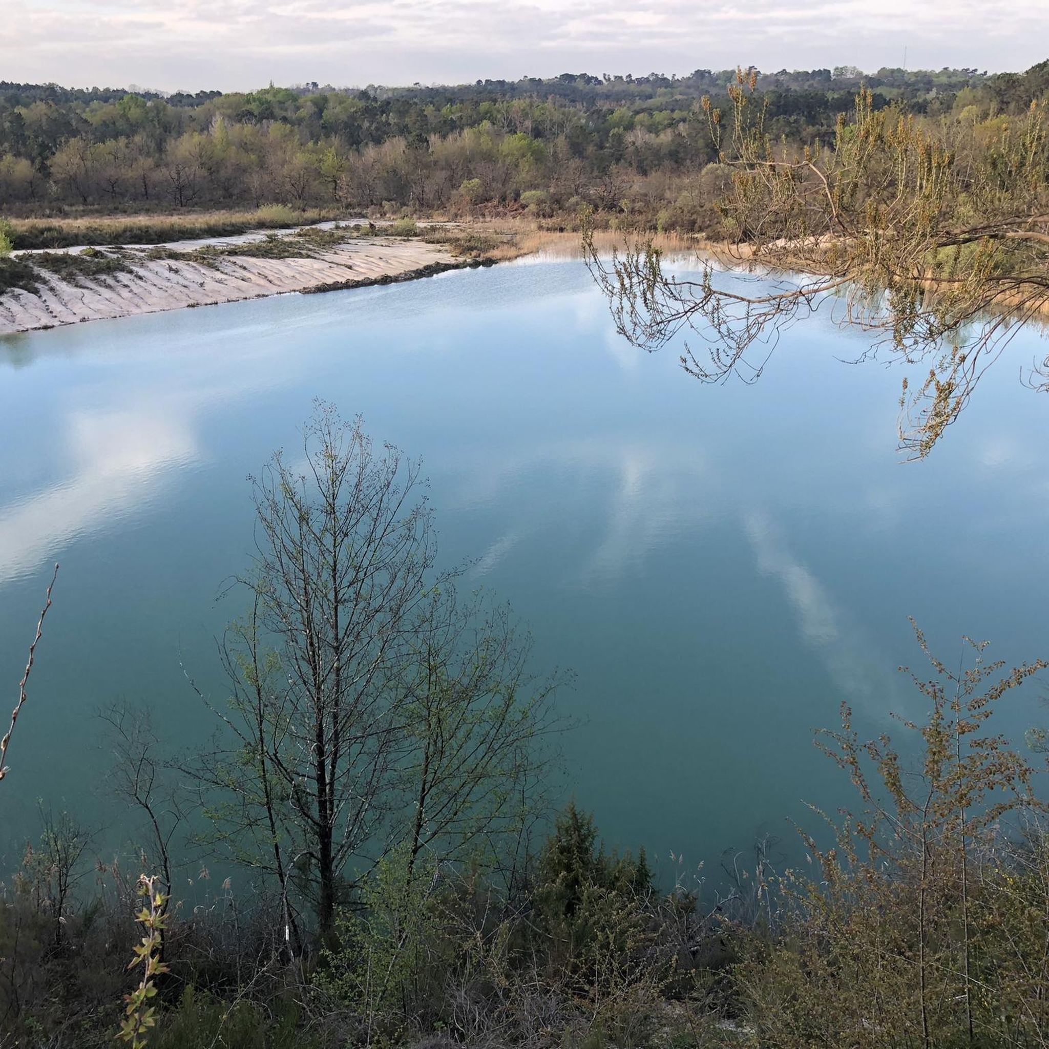
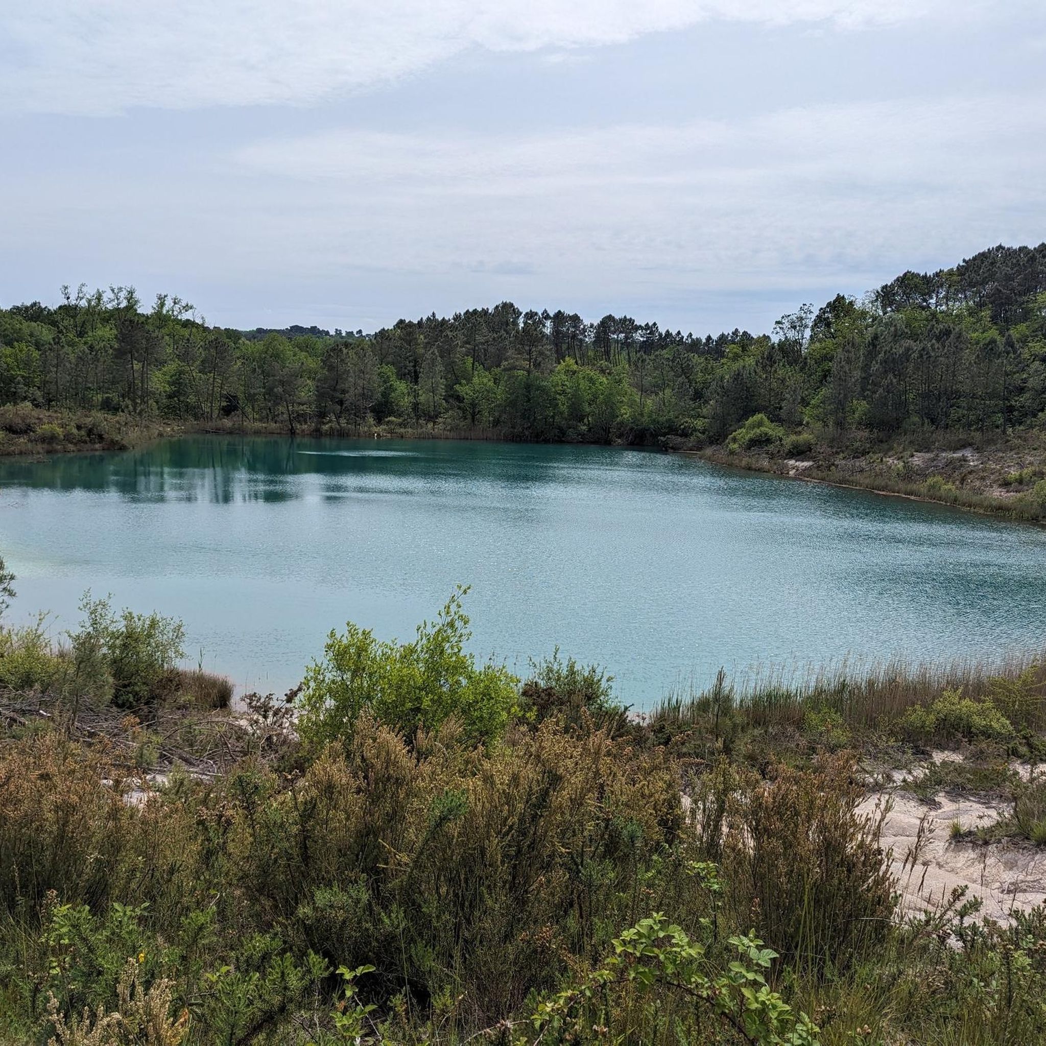
Remains of old white clay quarries, these blue lakes constitute a locally protected habitat with its flaura and forna. You have to go slowly and leave no traces. Swimming is prohibited in these lakes.
2
0
Remains of old white clay quarries, these blue lakes constitute a locally protected habitat with its flaura and forna. You have to go slowly and leave no traces. Swimming is prohibited in these lakes.
6
1
Frequently Asked Questions
How many running routes are available around Condéon?
There are over 70 running routes available around Condéon, offering a wide variety of options for joggers of all levels. These routes traverse diverse landscapes, from wooded hills to cultivated plains.
What kind of terrain can I expect on the running trails around Condéon?
The terrain around Condéon is quite varied. You can expect wooded hills in the southern and western parts, and cultivated plains with low hills in the northeast. The altitude ranges from 63 to 161 meters, providing gentle inclines and descents that add interest to your run. Some routes, like the Touvérac Quarries Trail, even pass by unique natural features like the Blue Lake of Touvérac.
Are there easy running routes suitable for beginners in Condéon?
Yes, Condéon offers several easy running routes perfect for beginners. Out of the 70 available routes, 5 are specifically categorized as easy, providing gentle paths to enjoy the region's scenery without significant challenge.
What interesting sights or natural features can I see while jogging in Condéon?
Condéon's running routes offer a blend of natural beauty and historical interest. You can jog past the stunning Blue Lake of Touvérac, known for its unique azure hues. The La Voie Verte, a paved cycle path, also provides a peaceful journey through the countryside. For those interested in history, routes might take you near cultural landmarks such as the Notre-Dame Church in Sainte-Radegonde or the former Baignes Abbey.
Are there many circular running routes in the Condéon area?
Yes, many of the running routes in Condéon are designed as loops, allowing you to start and finish at the same point. Examples include the Saint-Médard Church loop from Barbezieux-Saint-Hilaire and the Château de Barbezieux loop from Barbezieux-Saint-Hilaire, which are popular choices among local runners.
Can I bring my dog on the jogging paths in Condéon?
Generally, the natural areas and rural paths around Condéon are suitable for dogs, especially in the wooded hills and extensive natural areas like the Double forest. However, it's always recommended to keep your dog on a leash and be mindful of local regulations, especially near cultivated fields or protected natural sites like the Blue Lake of Touvérac.
Are there any running routes that pass by historical sites?
Yes, you can incorporate historical sites into your runs. For instance, the region features the Notre-Dame Church in Sainte-Radegonde and the former Baignes Abbey, both with origins dating back to the 11th century. While not a specific route, the La voie verte loop from Baignes-Sainte-Radegonde could offer proximity to such historical points.
What do other runners appreciate most about the trails in Condéon?
The running trails in Condéon are highly regarded by the komoot community, boasting an average rating of 5.0 stars from numerous reviews. Runners often praise the diverse landscapes, the tranquility of the countryside, and the variety of routes available for different ability levels.
Is parking available near the trailheads for running routes in Condéon?
While specific parking information for every trailhead isn't always detailed, as Condéon is a rural commune, parking is generally available in or near the starting points of routes, especially in villages or designated recreational areas. For routes starting from towns like Barbezieux-Saint-Hilaire, you can typically find public parking options.
Are there any longer running routes for experienced runners?
Yes, while many routes are moderate, Condéon also offers options for more experienced runners. The region has 2 routes categorized as difficult, providing a greater challenge in terms of distance or elevation. Additionally, many of the moderate routes, such as the Running loop from Le Tâtre, can be combined or extended for longer distances.
Can I find routes that are suitable for both running and cycling?
Absolutely. A significant asset for both joggers and cyclists is La Voie Verte, a paved cycle path spanning 35 kilometers. While primarily for cycling, sections of this route are excellent for tranquil jogging sessions, offering a smooth surface through the countryside.
Most popular attractions around Condéon

Get inspired with the komoot mobile app


Explore more
Browse the best Running Trails & Routes in other regions.
