The best walks and hikes around Allondaz
4.4
(624)
6,232
hikers
220
hikes
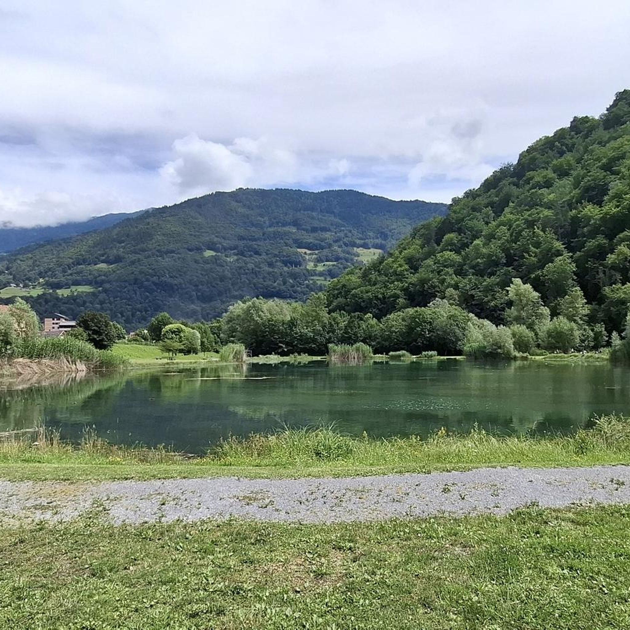
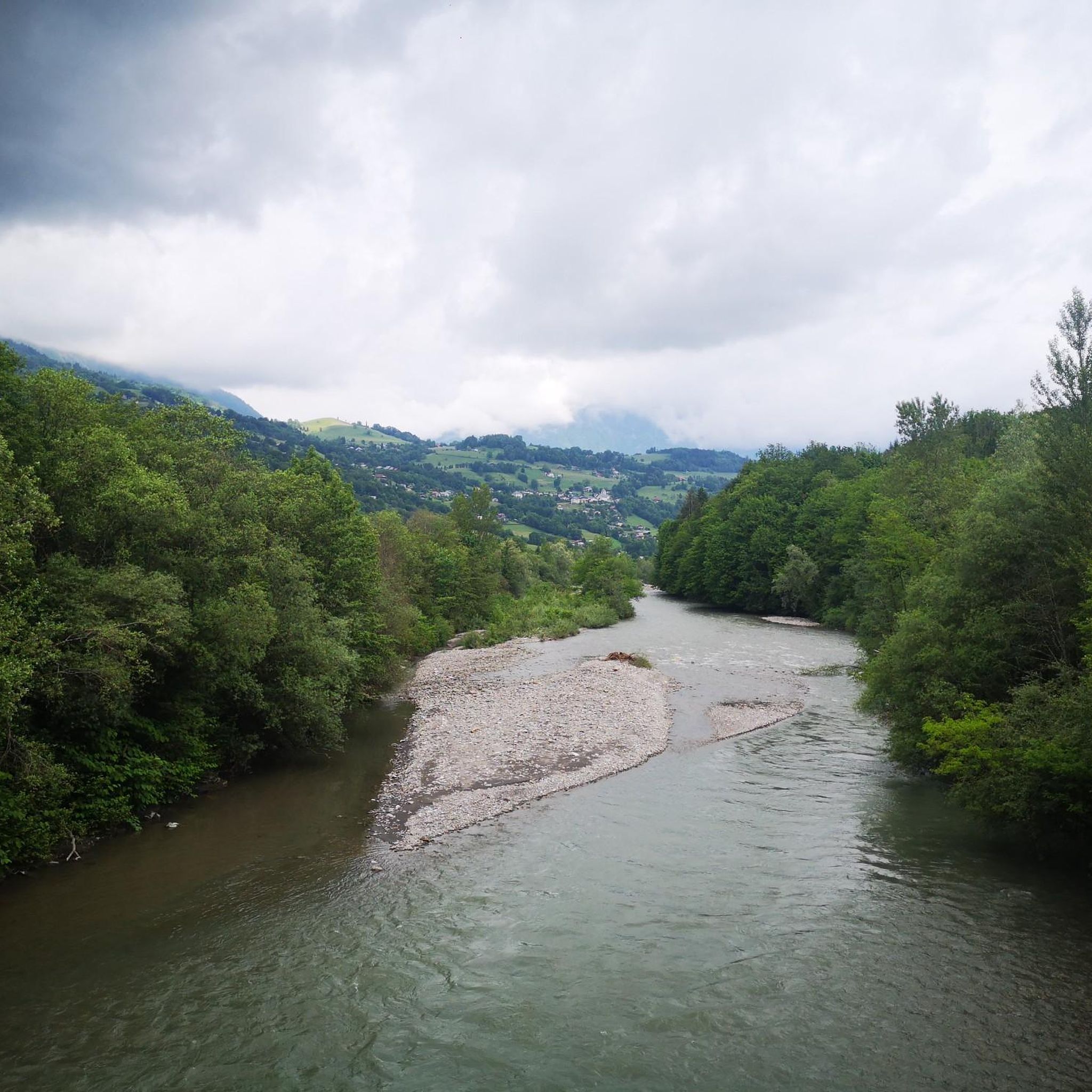
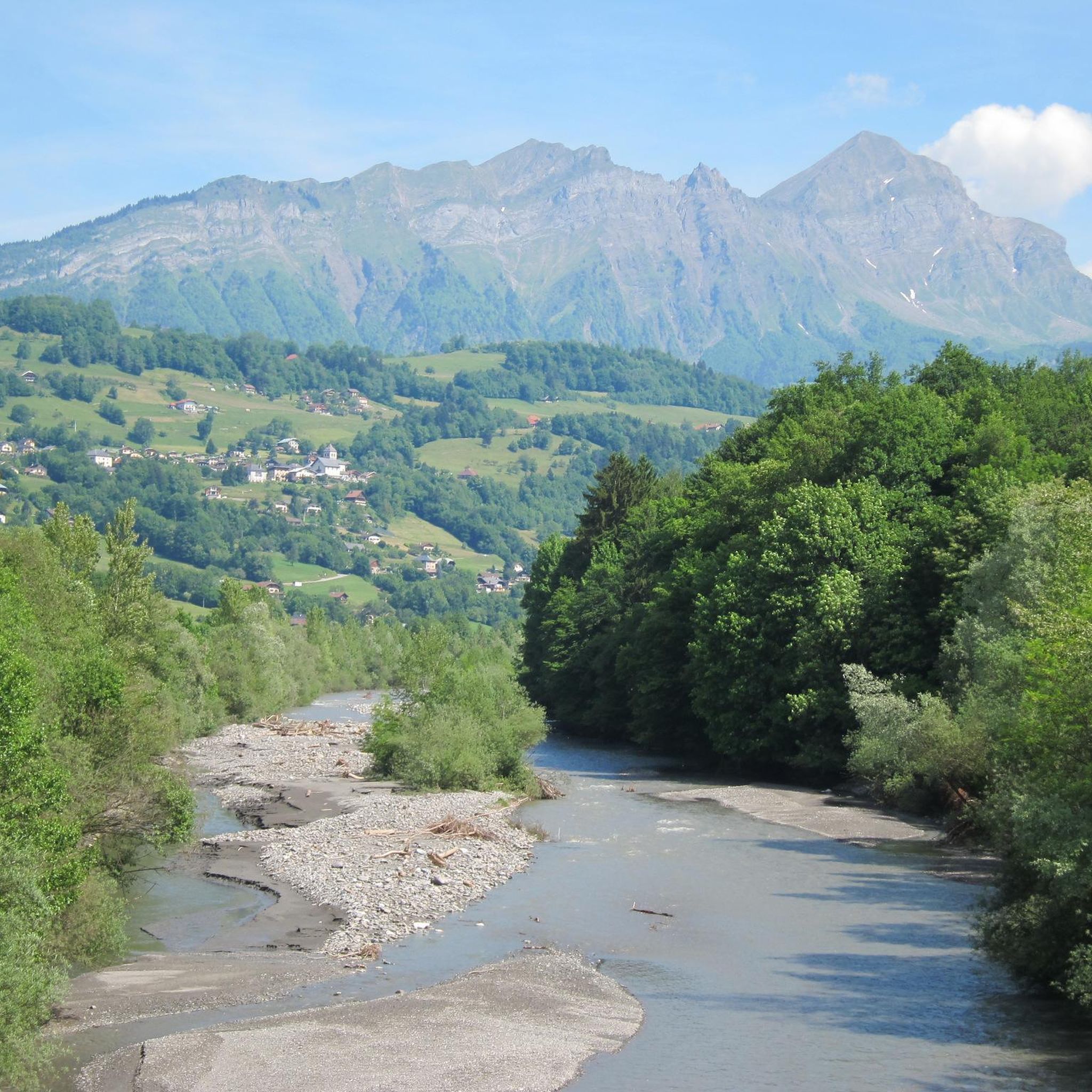
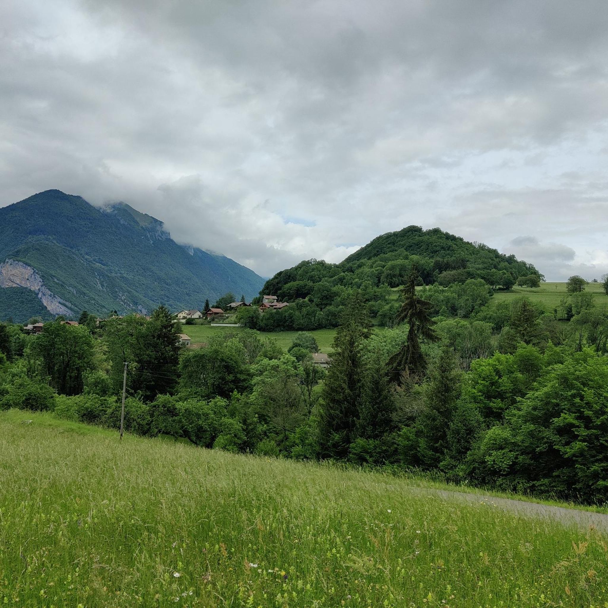
Hiking around Allondaz offers diverse landscapes in the Savoie department of the Auvergne-Rhône-Alpes region, serving as a gateway to the Massif des Bauges Regional Natural Park. The area is characterized by mountain peaks, scenic passes, and varied terrain suitable for different skill levels. Hikers can explore forests, valleys, and alpine pastures, with many routes providing views of prominent summits like Dent de Cons and Mont Blanc.
Best hiking trails around Allondaz
- The most popular hiking route is Conflans Fountain –…
Last updated: October 14, 2026
4.2
(5)
108
hikers
Hard hike. Good fitness required. Sure-footedness, sturdy shoes and alpine experience required.
4.8
(6)
28
hikers
8.60km
02:59
490m
490m
Moderate hike. Good fitness required. Easily-accessible paths. Suitable for all skill levels.

4.0
(1)
20
hikers
6.92km
02:52
530m
530m
Moderate hike. Good fitness required. Mostly accessible paths. Sure-footedness required.
3
hikers
7.44km
02:21
290m
290m
Moderate hike. Good fitness required. Easily-accessible paths. Suitable for all skill levels.
5
hikers
7.53km
02:13
210m
200m
Moderate hike. Good fitness required. Easily-accessible paths. Suitable for all skill levels.
Get access to more routes and recommendations from other explorers.
Already have an account?
Our route recommendations are based on thousands of hikes, rides, and runs completed by other people on komoot.
Start today with a free account
Your next adventure awaits.


Tips from the Community

If you start this hike around 4 PM, you can walk in the shade. You will walk into the evening and be back at the starting point before dark. 08-2026
0
0

Breathtaking view of the MT Blanc and the Charvin
0
0

An incredible view! Relatively aerial trail with a few wired passages. But this ridge is worth the detour! Be careful though, you will necessarily want to follow it to the Belle Étoile
0
0

Superb summit above Faverges. Be careful, the path may seem aerial to people sensitive to emptiness
0
0

Nice hike. A little technical all the same on some passages for beginners or children who are too young.
1
0

It is a very beautiful mountain pass, at an altitude of 1,408 meters.
0
0
It is a superb summit, at an altitude of 2,063 meters, in the extension of the Aravis and Mont Charvin ranges. The panorama is incredible, including a clear view of Mont Blanc. Gorgeous ! There is a small orientation table at the top.
0
0
Frequently Asked Questions
What kind of terrain can I expect on hikes around Allondaz?
Hiking around Allondaz offers a diverse range of terrain, from enchanting undergrowth and forests of beech trees to alpine pastures and majestic mountain peaks. You'll find trails winding through valleys, past charming hamlets, and leading to scenic mountain passes. The region is part of the Massif des Bauges Regional Natural Park, ensuring a preserved natural environment.
What are the difficulty levels of hiking trails in Allondaz?
Allondaz offers a wide range of trails suitable for various fitness levels. There are over 45 easy routes for leisurely strolls, more than 100 moderate trails, and over 35 challenging routes for experienced hikers. The more demanding trails often involve significant elevation gain, vertical passages, and sections secured by cables, requiring good fitness and sure-footedness.
Are there any notable viewpoints or natural features to see while hiking?
Absolutely. Many trails offer incredible panoramas, including clear views of Mont Blanc. Notable peaks like Dent of Cons (2,063m), La Belle-Étoile (1,841m), and Petite Sambuy (2,107m) provide extensive vistas across the Tarentaise Valley, Lake Annecy, and the Aravis mountain range. You can also explore scenic passes like Tamié Pass and Col de l'Arpettaz.
What historical or cultural attractions can I explore near the hiking trails?
Beyond the natural beauty, you can visit the medieval city of Conflans, located near Albertville, which can be integrated into hiking loops. Another historical site is Tamie Fort, near Mercury. Additionally, many hikes pass through active AOC Beaufort pastures, offering a glimpse into local agricultural traditions and the production of Beaufort cheese.
Are there any circular hiking routes available around Allondaz?
Yes, there are several excellent circular routes. For example, the Conflans Fountain – Conflans loop from Albertville is a moderate 8.3-mile trail exploring the historic city. Another popular option is the View of Mont Blanc – Tamié Pass loop from Mercury, offering stunning views and traversing the scenic Col de Tamié.
What do other hikers enjoy the most about hiking in Allondaz?
The area is highly rated by the komoot community, with an average score of 4.4 stars from over 500 reviews. Reviewers often praise the diverse landscapes, the stunning panoramic views (especially of Mont Blanc), and the variety of trails catering to all skill levels, from easy walks to challenging alpine ascents.
Are there any family-friendly hiking options in Allondaz?
Yes, Allondaz offers easy, two-hour walks with up to 300 meters of elevation gain, which are suitable for families and all skill levels. These trails often lead through enchanting undergrowth and past charming hamlets, providing a pleasant outdoor experience for everyone.
Can I bring my dog on the hiking trails in Allondaz?
While specific regulations can vary by trail and protected areas, generally, dogs are welcome on many hiking trails in the region, especially if kept on a leash. It's always recommended to check local signage or specific trail guidelines, particularly within the Massif des Bauges Regional Natural Park, to ensure compliance.
What is the best time of year to go hiking in Allondaz?
The best time for hiking in Allondaz is typically from late spring to early autumn (May to October), when the weather is mild, and trails are clear of snow. During these months, you can fully enjoy the diverse landscapes, alpine pastures, and panoramic views. Some higher-altitude trails may still have snow patches in early spring or late autumn.
Are there any trails that lead to waterfalls or caves?
Yes, the Grotte et Cascade de Seythenex is a notable natural attraction located about 6.3km from Allondaz, offering a beautiful cave and waterfall to explore. While not directly on every hiking trail, it's a point of interest that can be incorporated into a visit to the area.
How many hiking trails are available around Allondaz?
There are over 185 hiking trails available around Allondaz, offering a wide variety of options for different preferences and skill levels. This extensive network ensures that you can find everything from short, easy walks to longer, more challenging alpine treks.
Most popular routes around Allondaz
Most popular attractions around Allondaz

Get inspired with the komoot mobile app


Explore more
Browse the best Hikes in other regions.
