Top 13 Mountain Passes around Saint-Avre
Best mountain passes around Saint-Avre are situated in the Maurienne Valley within the French Alps. This region is known for its challenging climbs and connection to the Tour de France. The area features a variety of mountain passes, offering routes through dramatic landscapes. It serves as a prime location for accessing iconic and historically significant alpine routes.
Best mountain passes around Saint-Avre
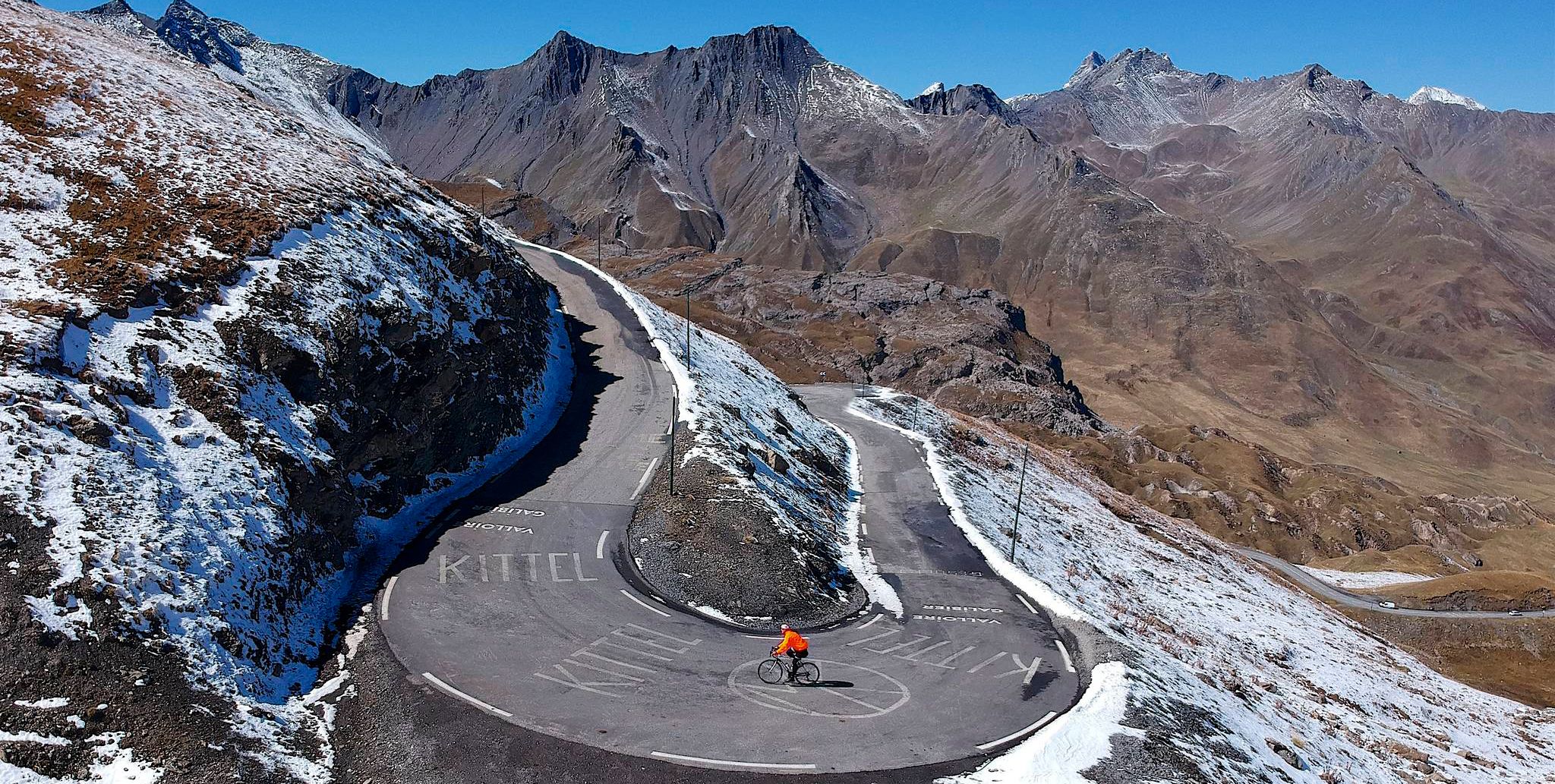
- The most popular mountain passes is Col du Chaussy, a mountain pass that connects Pontamafrey with the…
Last updated: June 26, 2026
Col du Chaussy
Highlight • Mountain Pass
Translated by Google •
Tip by

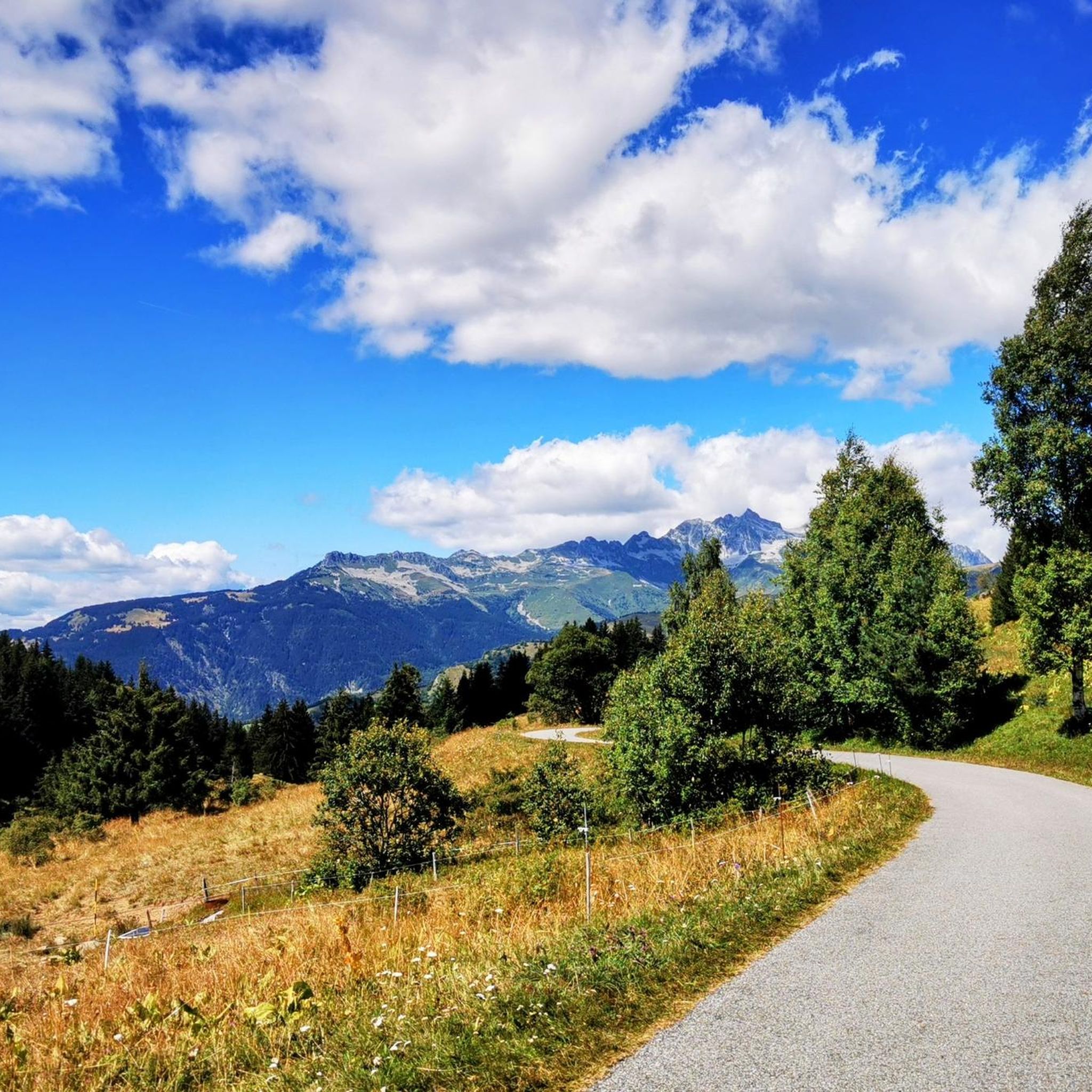
Col de la Madeleine
Highlight • Mountain Pass
Translated by Google •
Tip by

Sign up now to discover places like this
Get recommendations on the best single tracks, peaks, & plenty of other exciting outdoor places.
Sign up for free
Ascent of Col de la Madeleine from La Chambre
Highlight (Segment) • Climb
Translated by Google •
Tip by

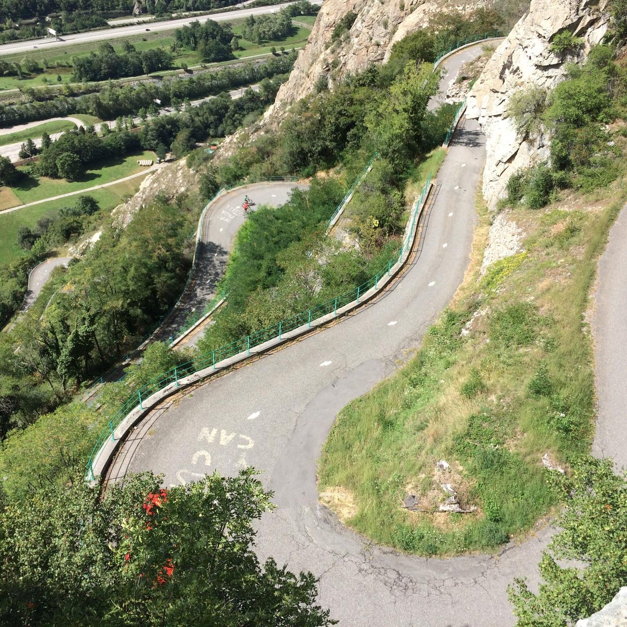
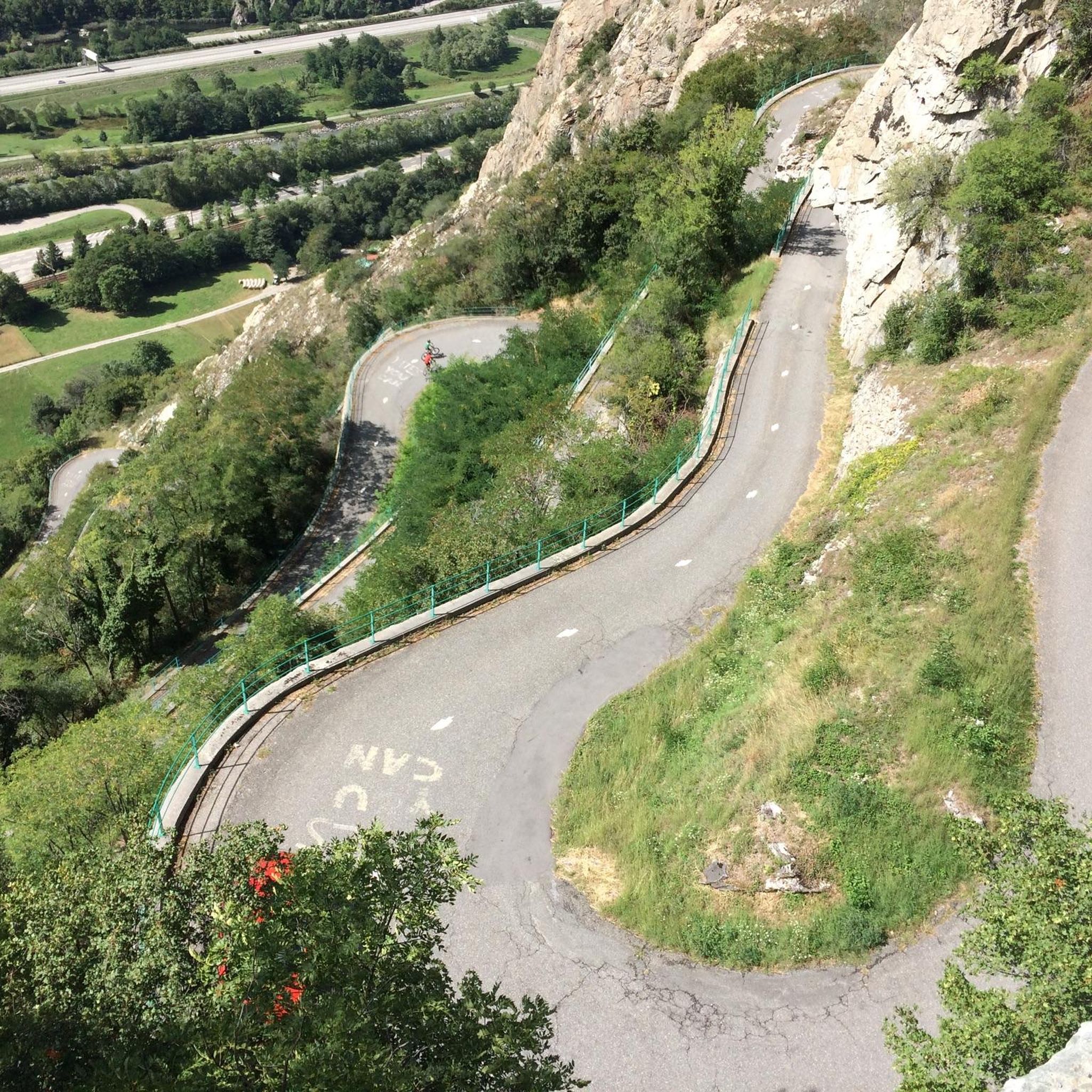
Spectacular Cliffside Road Above Montvernier
Highlight • Structure
Showing Translation
Tip by

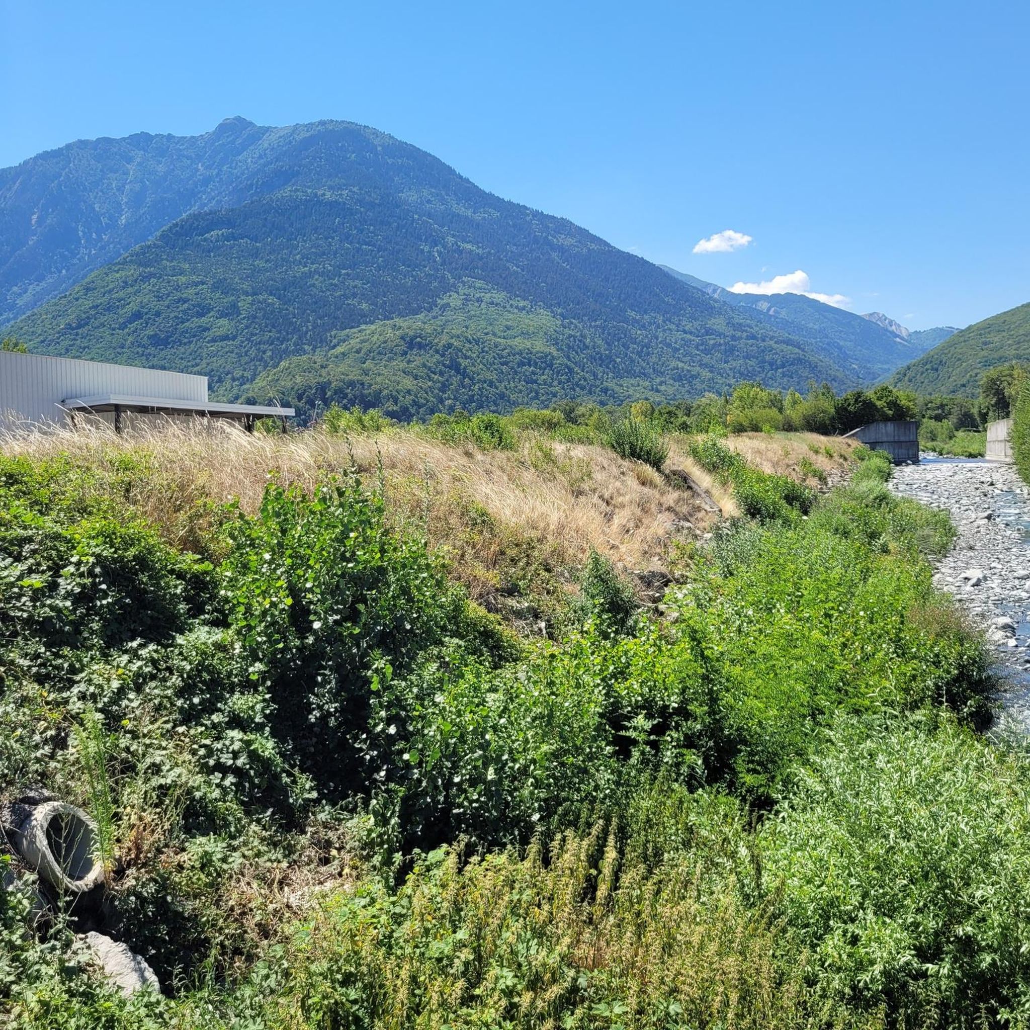
Col du Glandon - from Saint-Étienne-de-Cuines
Highlight (Segment) • Mountain Pass
20km, D+ 1450m
Translated by Google •
Tip by

Sign up for free to discover even more mountain passes around Saint-Avre.
Sign up for free
Already have an account?
Start today with a free account
Your next adventure awaits.
Login or Signup

Other adventures around Saint-Avre

Tips from the Community

Narrow road, great views. Relatively little traffic.
2
0
Narrow road by the rock, great views.
2
0

Here is the route for the ascent of the Col du Glandon starting from Saint-Étienne-de-Cuines
1
0
Here is the route for the ascent of the Col de la Croix de Fer starting from Saint-Étienne-de-Cuines, passing through the Col du Glandon!
1
0

The north face of the Col du Glandon, starting from Saint-Étienne-des-Cuines, is one of the most demanding and iconic climbs in the French Alps. The summit sits at 1,924 meters above sea level, overcoming a gradient of 1,470 meters over just over 21 kilometers, resulting in an average gradient of around 7%. However, what truly defines the character of this climb is the unevenness of the profile, which alternates very tough sections with recovery phases before facing an extremely demanding finale. For almost eleven kilometers, the gradient remains within a range of 6 to 8% as the route enters a dense forest. After this initial phase, the landscape opens up and the road passes through Saint-Colomban-des-Villards, where the gradient decreases significantly and even offers practically flat areas. This is a strategic point to hydrate, eat, and prepare your mind for the rest of the climb. After the false flat and approaching the Glandon torrent, the vegetation begins to thin, the road narrows, curves follow, and the average gradient is around 10%, with several sections at 11% that really grind your legs after more than an hour and a half of accumulated effort. Once around the last curve, the arrival at the pass offers spectacular scenery, with views toward the Belledonne massif and the Arves peaks, a pure alpine environment with high-altitude pastures, torrents, and, occasionally, the occasional remnant of snowfields. Conclusion: a legendary climb in the French Alps, with extraordinary scenery and sustained difficulty. As always, the effort is worth it!
0
0

A col is meant to be climbed—and then descended. Because it's fun!
0
0
In my opinion, this is the best side of the Col du Glandon due to the beauty of its final 9 kilometers. The climb is clearly divided into two parts. The first stretches until reaching the village of St. Colomban-des-Villards; it's 8.5 km along a perfectly maintained road, very winding, with no views at all. The second part begins as we leave the village of St. Colomban, after a 1.5 km rest stop and a beautiful fountain where we can refill our water bottles. The second part is pure poetry. The road narrows and you enter a pure high-mountain landscape. It's a much tougher stretch.
1
0

Empty, a gas road 😱
0
0
Frequently Asked Questions
What are some of the most popular mountain passes around Saint-Avre?
The region around Saint-Avre is home to several highly-regarded mountain passes. Among the most popular are Col du Chaussy, known for connecting Pontamafrey with the south ramp of the Col de la Madeleine, and the iconic Col de la Madeleine, a frequent feature in the Tour de France. Visitors also appreciate the Spectacular Cliffside Road Above Montvernier for its unique engineering and views.
Which mountain passes in the area are known for their historical significance?
The region boasts passes with rich history. The Col du Télégraphe, for instance, is named after a fort built there between 1885 and 1893. Additionally, the Col du Mont-Cenis holds significant historical importance as a traditional route connecting France and Italy, offering a sense of cross-border adventure.
Are there any particularly challenging mountain passes for cyclists or drivers?
Yes, several passes in the area are renowned for their challenging ascents. The Col du Galibier is one of the most legendary and difficult passes in the Tour de France, often climbed in conjunction with the Col du Télégraphe. The Col de la Madeleine also presents a tough climb, especially from La Chambre, with an average gradient of 8% and maximums of 13.5%. The Col du Glandon is another challenging option, particularly from the Maurienne side, known for its wild beauty.
What kind of views can I expect from the mountain passes near Saint-Avre?
The mountain passes around Saint-Avre offer breathtaking panoramic views. From the Col du Galibier, you can see dramatic mountain landscapes and the Écrins massif. The Col de la Madeleine provides stunning vistas of surrounding valleys and glaciers. The Col du Glandon offers spectacular views of the Belledonne mountain range, while the Spectacular Cliffside Road Above Montvernier provides impressive views of the valley and mountains carved into solid rock.
Are there any mountain passes that are less strenuous or more accessible for a wider range of visitors?
Yes, the Col du Mont-Cenis offers a less strenuous climb compared to some of its neighbors. This makes it more accessible to a wider range of visitors, while still providing magnificent views and the unique visual element of the large artificial Mont-Cenis lake.
What outdoor activities can I do near these mountain passes?
The area around Saint-Avre is perfect for various outdoor activities. You can find numerous road cycling routes, including challenging loops like the Col du Chaussy – Col du Mollard loop. There are also gravel biking opportunities, such as the Madeleine Pass loop. For those who prefer to explore on foot, there are running trails available, including a moderate running loop from Saint-Avre. You can find more details on these activities in the Running Trails around Saint-Avre, Road Cycling Routes around Saint-Avre, and Gravel biking around Saint-Avre guides.
What is the best time of year to visit the mountain passes around Saint-Avre?
The mountain passes in the French Alps are generally best visited during the warmer months, typically from late spring to early autumn (May to October), when the roads are clear of snow and the weather is most favorable for cycling, driving, and hiking. This period offers the best conditions to enjoy the challenging climbs and stunning views.
Are there any amenities like cafes or restaurants available at the mountain passes?
Yes, some passes offer amenities for visitors. For example, the Relais du Télégraphe on the Col du Télégraphe provides refreshments and meals. At the summit of the Col de la Madeleine, there is a nice café, and a small restaurant can be found at the top of the Ascent of Col de la Madeleine from La Chambre, offering a place to rest and refuel.
What do visitors enjoy most about the mountain passes near Saint-Avre?
Visitors frequently highlight the challenging nature of the climbs, the spectacular panoramic views, and the sense of accomplishment. Many appreciate the historical significance of passes like the Col du Galibier and Col de la Madeleine, especially their connection to the Tour de France. The quiet roads, diverse landscapes, and the opportunity to experience the grandeur of the French Alps are also highly valued.
Can I find information about the difficulty and elevation of specific climbs?
Yes, detailed information about climbs is often available. For instance, the Ascent of Col de la Madeleine from La Chambre is described as a tough climb, especially on hot days, with its steepest sections in the lower third. The Col du Glandon - from Saint-Étienne-de-Cuines is noted for its two distinct parts, with the second half being much more sustained and leading into a pure high-mountain landscape.
Are there any unique natural features to look out for on these passes?
Beyond the general alpine scenery, the Col du Mont-Cenis features the large artificial Mont-Cenis lake, which adds a unique visual element to the landscape. The dramatic mountain landscapes and views of the Écrins massif from the Col du Galibier are also notable natural highlights.
Most popular routes around Saint-Avre
Most popular attractions around Saint-Avre

Get inspired with the komoot mobile app


Explore more
See even more epic mountain passes by checking out these guides around Saint-Avre:
