The best mountain hikes around Avrieux
4.8
(7)
43
hikers
5
hikes
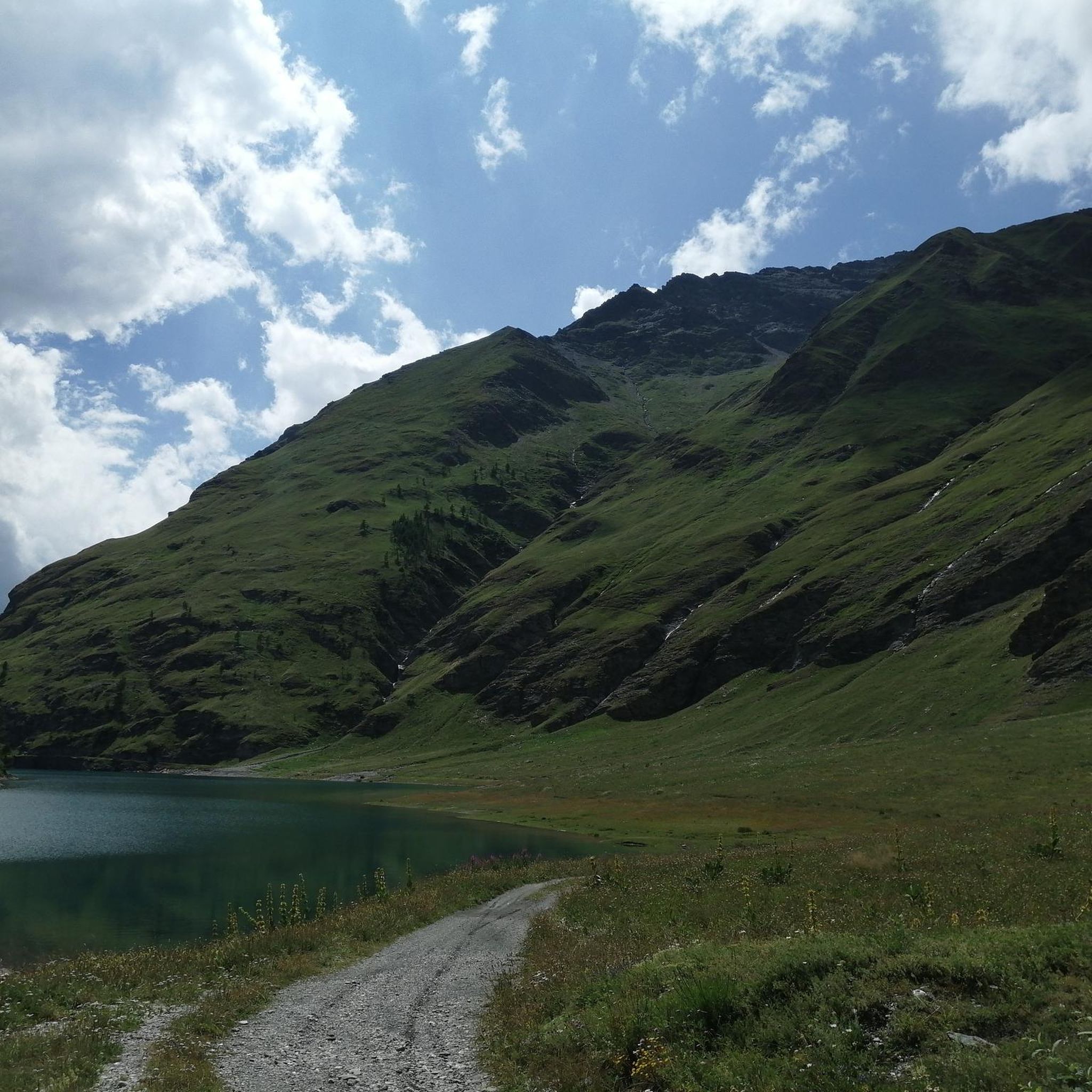
Mountaineering routes around Avrieux are situated in the Maurienne valley, bordering the Vanoise National Park in the French Alps. This region is characterized by dramatic rocky outcrops, high mountain passes, and prominent peaks, offering a diverse alpine environment. Natural features include picturesque lakes and deep canyons, providing varied terrain for mountaineering.
Best mountaineering routes around Avrieux
- The most popular mountaineering route is Plan d'Amont Reservoir – View of Plan d'Amont loop from Plan d'Amont, a 7.1 miles (11.4 km)…
Last updated: July 1, 2026
4.5
(4)
19
hikers
11.4km
05:41
960m
960m
Hard mountaineering route. Very good fitness required. Sure-footedness, sturdy shoes and alpine experience required.
5
hikers
15.6km
07:08
1,010m
1,010m
Hard mountaineering route. Very good fitness required. Mostly accessible paths. Sure-footedness required.

Sign up for free
5.0
(1)
8
hikers
Hard mountaineering route. Very good fitness required. Mostly accessible paths. Sure-footedness required.
5
hikers
12.9km
05:01
840m
840m
Hard mountaineering route. Very good fitness required. Mostly accessible paths. Sure-footedness required.
5.0
(2)
6
hikers
15.1km
07:23
1,120m
1,120m
Hard mountaineering route. Very good fitness required. Sure-footedness, sturdy shoes and alpine experience required.
Our route recommendations are based on thousands of hikes, rides, and runs completed by other people on komoot.
Start today with a free account
Your next adventure awaits.
Login or Signup

Tips from the Community

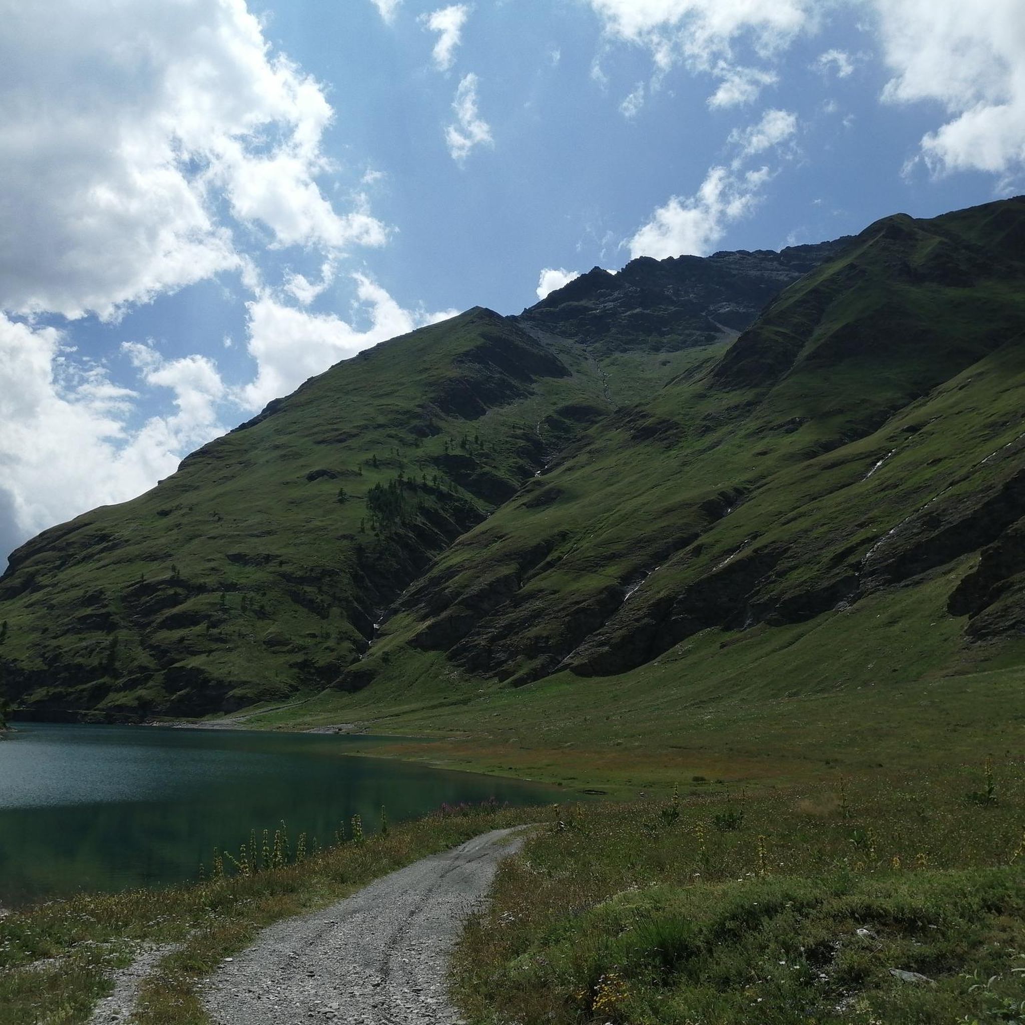
Lake Savine is a unique sight; we saw it covered in snow at the end of September! If you're heading towards Colle Clapier or the bivouac of the same name, we recommend crampons (especially for the descent, which can be icy in some places). In winter, you may also need snowshoes.
0
0

Wonderful, one of the most beautiful routes I've ever seen. The gradient is well distributed throughout the route and isn't too tiring. The view from the three crosses is breathtaking.
0
0

In high season, the refuge can accommodate up to 70 people. It also offers a catering service, and hikers passing through can stop simply for a drink. You will also find a drinking water point, toilets and PRM access.
0
0

Colle Clapier, located in the Cottian Alps, is a historic Alpine pass that connects Italy and France. At 2,491 meters above sea level, it offers breathtaking views and a route full of history, considered by some scholars to be one of the possible passages crossed by Hannibal during his famous crossing of the Alps.
0
0

Nice tour to the Lake starting from Le Verney
0
0
It is located immediately below Lac Plan d'Amont
0
0

Perfect family trip to train the legs for the children too... once over the top this fantastic mountain lake emerges
0
0

Not only one cross greets the (mountain) hiker here, but a group of three crosses - as the name "Poggio TRE CROCI" suggests - we find on this mountain. A wayside cross or summit cross commemorates Jesus Christ, namely the middle one. The other two are not here without reason: According to biblical tradition, Jesus Christ was not condemned to death by crucifixion alone, but together with two criminals and executed (see for example the evangelist Luke 22:33): + "They came to the place called the Place of the Skull, and there they crucified him and the criminals, one on his right and the other on his left." +
2
0
Frequently Asked Questions
What kind of mountaineering routes can I expect around Avrieux?
Avrieux, situated in the Maurienne valley and bordering the Vanoise National Park, offers a diverse range of mountaineering routes. You'll find dramatic rocky outcrops, high mountain passes, and prominent peaks. The terrain includes picturesque lakes and deep canyons, providing varied and challenging experiences for experienced mountaineers.
Are there any circular mountaineering routes in the Avrieux area?
Yes, many of the mountaineering routes around Avrieux are designed as loops, allowing you to start and finish at the same point. For example, the difficult Refuge du Petit Mont Cenis – Signal of Petit Mont Cenis loop from Refuge du Petit Mont Cenis is a challenging circular route covering over 13 km with significant elevation gain.
What are the difficulty levels of mountaineering routes in Avrieux?
The mountaineering routes in Avrieux are predominantly challenging. Out of 7 routes, 6 are classified as difficult, requiring excellent fitness, sure-footedness, and sturdy footwear. There is also one moderate route available. The region caters well to experienced mountaineers seeking demanding alpine adventures.
What natural features or landmarks can I see along the mountaineering routes?
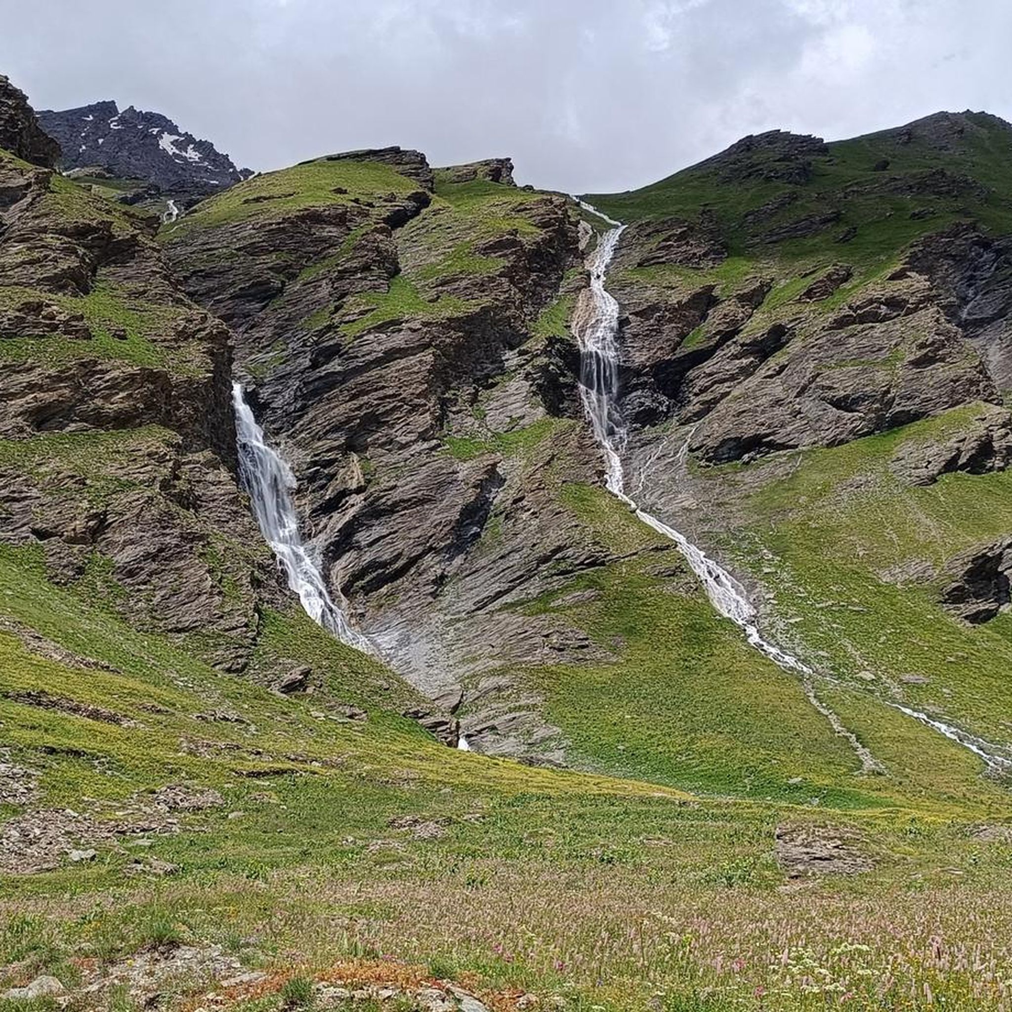
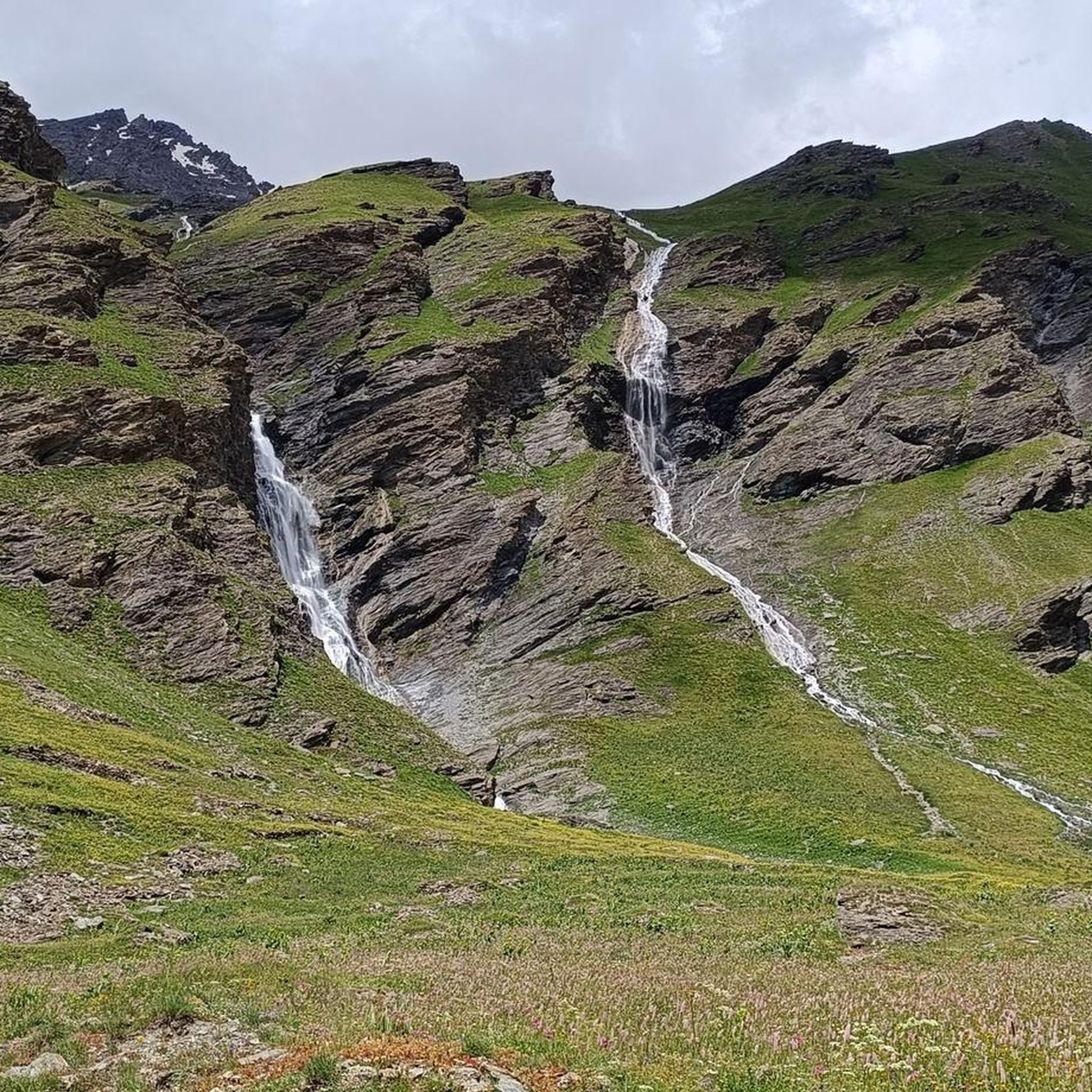
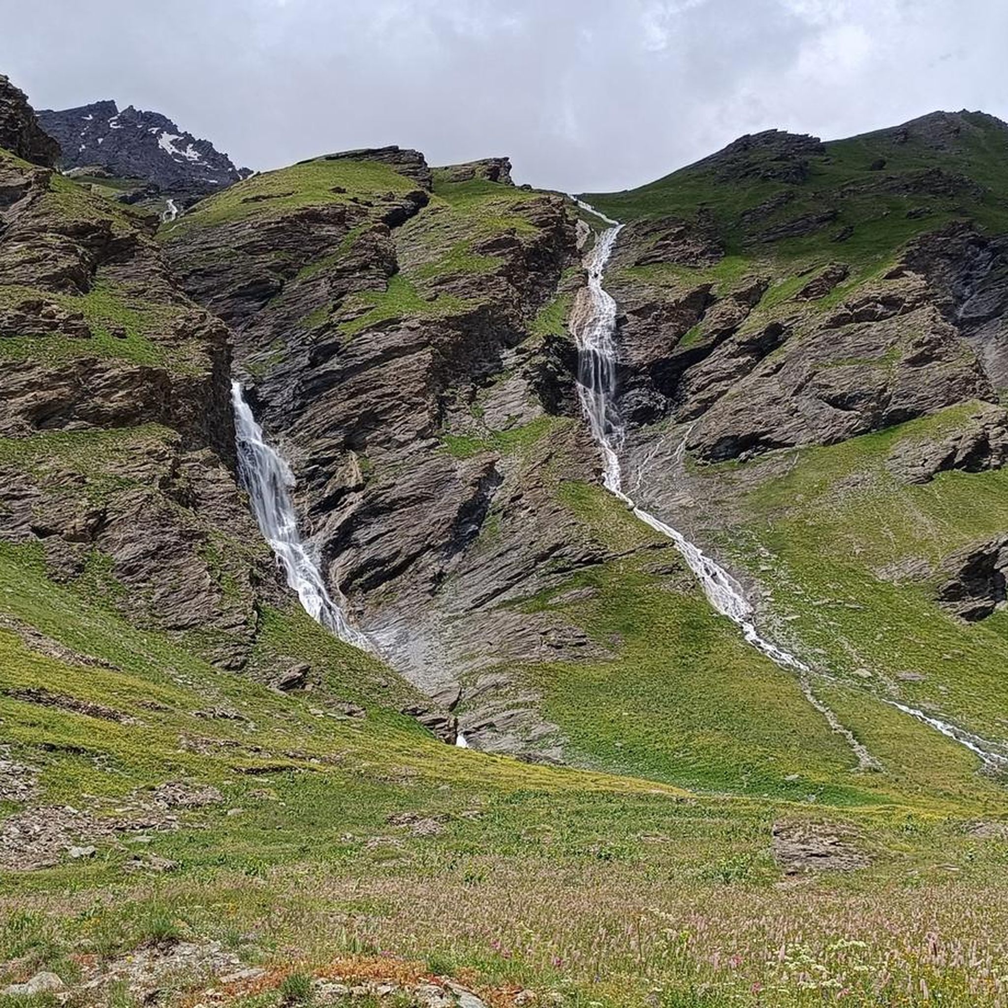
The region is rich in natural beauty and historical sites. You can encounter stunning waterfalls like the Waterfalls Behind Rifugio Scarfiotti and Waterfalls in Vanoise National Park. Picturesque lakes such as Rochemolles Lake and Dam and Lac de Rochemolles are also prominent. Historical fortifications like Forte Föens and Fort Jafferau add cultural interest to the alpine landscape.
Are there any less crowded mountaineering trails around Avrieux?
While the region is popular, exploring routes slightly off the main paths can offer a more secluded experience. Consider the Poggio Tre Croci loop from Bardonecchia, a difficult 12.8 km route that provides a challenging ascent and expansive views, potentially offering more solitude than the most popular trails.
What is the best time of year for mountaineering in Avrieux?
The best time for mountaineering in Avrieux is typically during the warmer months, from late spring to early autumn (June to September), when the trails are generally free of snow and the weather is more stable. However, conditions can change rapidly in the mountains, so always check local forecasts and trail conditions before heading out.
What do other mountaineers say about the routes in Avrieux?
The mountaineering routes in Avrieux are highly regarded by the komoot community, holding an average rating of 4.75 stars from over 10 reviews. Mountaineers often praise the dramatic alpine scenery, the challenging nature of the trails, and the pristine environment of the Vanoise National Park.
Are there any specific mountain passes or peaks that are notable in the Avrieux region?
Yes, the region is known for its significant mountain passes and peaks. The Colle Clapier is a historic Alpine pass in the Cottian Alps, offering breathtaking views and historical significance. Monte Jafferau, a 2805m mountain, is also accessible and provides a challenging objective for mountaineers.
Can I find any waterfalls directly accessible from mountaineering routes?
While specific routes may not pass directly by every waterfall, the region is home to several impressive cascades. The Waterfalls Behind Rifugio Scarfiotti and the Waterfalls in Vanoise National Park are notable natural features in the wider Avrieux area that can be explored in conjunction with mountaineering trips.
What makes the Vanoise National Park, near Avrieux, special for mountaineering?
Avrieux's proximity to the Vanoise National Park provides access to a pristine alpine environment. The park is characterized by its dramatic mountain vistas, diverse ecosystems, and well-preserved natural landscapes, offering an unparalleled setting for challenging mountaineering adventures amidst untouched wilderness.
Are there options for parking near the starting points of mountaineering routes?
Many mountaineering routes in the Avrieux area, especially those starting from refuges or specific trailheads, typically have designated parking areas. For instance, routes like the Refuge du Petit Mont Cenis – Signal of Petit Mont Cenis loop often begin from locations with parking facilities, though it's always advisable to check specific route details for precise parking information.
Most popular routes around Avrieux
Most popular attractions around Avrieux

Get inspired with the komoot mobile app


Explore more
Browse the best Mountain Hikes & Routes in other regions.
