The best cycling routes around Pralognan-La-Vanoise
4.5
(150)
7,315
riders
147
rides
Touring cycling around Pralognan-La-Vanoise features routes through alpine valleys and challenging mountain passes. The region is characterized by significant elevation changes, offering sustained climbs and descents amidst high peaks and forested slopes. Riders will encounter a landscape shaped by the Vanoise National Park, with views of glaciers, cirques, and waterfalls. Many routes provide panoramic views of the Vanoise massif.
Best touring cycling routes around Pralognan-La-Vanoise
- The most popular touring cycling route is Saint-Bon-Tarentaise – Bozel loop from Villard L'Illaz,…
Last updated: July 1, 2026
4.7
(6)
345
riders
43.4km
03:26
1,230m
1,230m
Hard bike ride. Very good fitness required. Mostly paved surfaces. Suitable for all skill levels.
5.0
(2)
103
riders
45.9km
03:27
1,140m
1,140m
Hard bike ride. Very good fitness required. Mostly paved surfaces. Suitable for all skill levels.

Sign up for free
80
riders
33.2km
03:34
1,510m
1,510m
Hard bike ride. Very good fitness required. You may need to push your bike for some segments of this route.
4.5
(4)
148
riders
30.6km
02:17
730m
730m
Hard bike ride. Very good fitness required. Mostly paved surfaces. Suitable for all skill levels.
5.0
(1)
61
riders
31.8km
02:54
1,200m
1,190m
Hard bike ride. Very good fitness required. Mostly paved surfaces. Suitable for all skill levels.
Get access to more routes and recommendations from other explorers.
Sign up for free
Already have an account?
Our route recommendations are based on thousands of hikes, rides, and runs completed by other people on komoot.
Start today with a free account
Your next adventure awaits.
Login or Signup
Popular around Pralognan-La-Vanoise

Hike from Savoie to Vanoise – Hexatrek in France’s Northern Alps
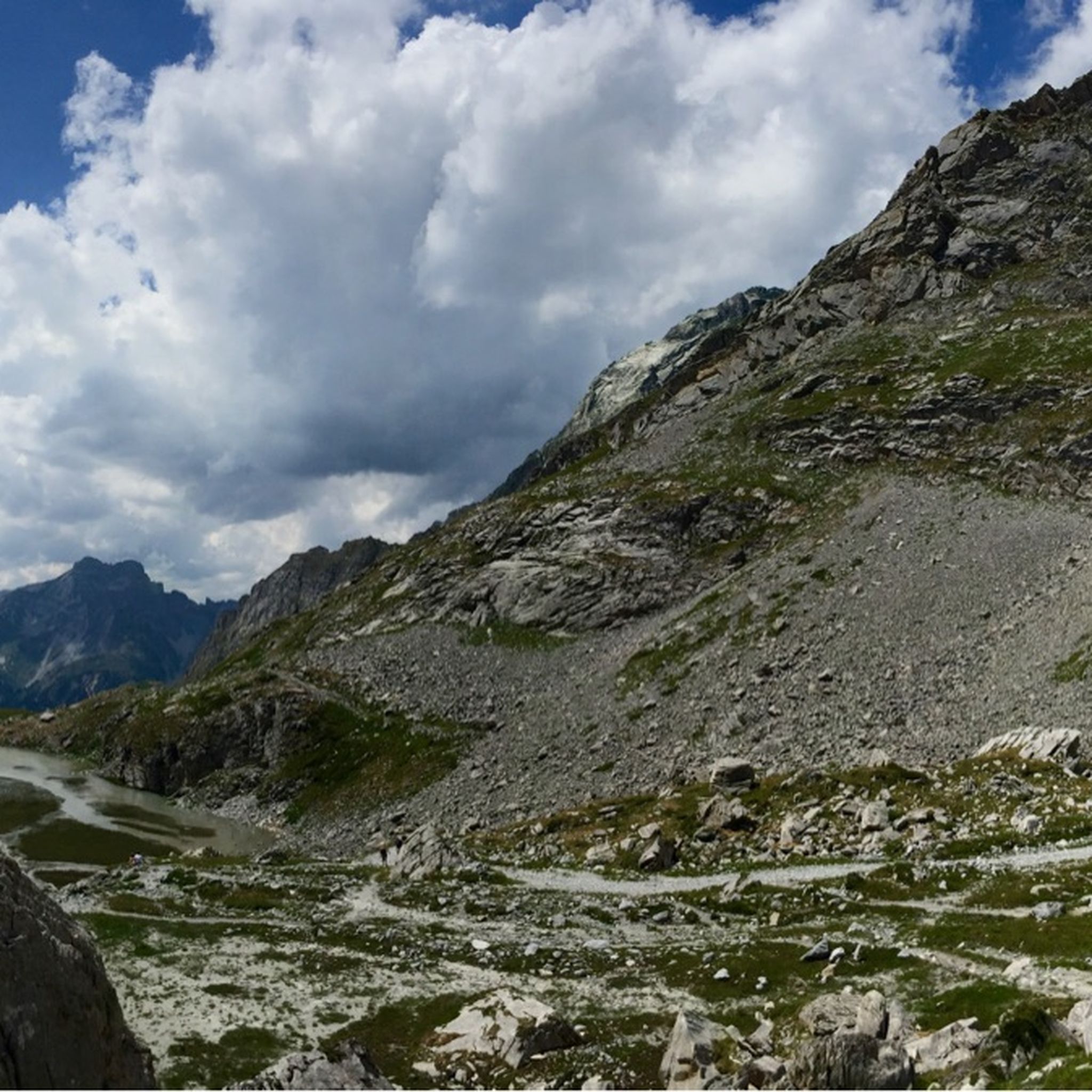
Hiking around Pralognan-La-Vanoise
Road Cycling Routes around Pralognan-La-Vanoise
Running Trails around Pralognan-La-Vanoise
MTB Trails around Pralognan-La-Vanoise

Gravel biking around Pralognan-La-Vanoise
Mountain Hikes around Pralognan-La-Vanoise
Other adventures around Pralognan-La-Vanoise

Tips from the Community

modern chapel in a district of Courchevel
2
0
Place on the D915, already suffering from through traffic. Some nice corners and a water source at the town hall.
2
0
Mountain lake in Praz, a district of Courchevel.
2
0
Beautiful cycle path, uneven climbs.
0
0
Great views, nice bike path, but uneven in the climbs.
2
0
Path with cycle path and great views. Ascent partly uneven. More info: https://de.wikipedia.org/wiki/Col_de_la_Loze?wprov=sfla1
2
0
In winter probably a ski slope, in summer luckily a bike path.
2
0
Frequently Asked Questions
How many touring cycling routes are available around Pralognan-La-Vanoise?
There are over 130 touring cycling routes in the Pralognan-La-Vanoise region. These routes vary significantly in difficulty, with 8 easy, 32 moderate, and 95 difficult options, catering to a wide range of cycling abilities.
Are there any easy touring cycling routes suitable for beginners in Pralognan-La-Vanoise?
While many routes in Pralognan-La-Vanoise feature significant elevation changes, there are 8 routes classified as easy. These typically follow valley roads, offering a less strenuous experience. Look for routes with minimal elevation gain if you are a beginner.
What is the best time of year to go touring cycling in Pralognan-La-Vanoise?
The best time for touring cycling in Pralognan-La-Vanoise is generally during the summer months, from late spring to early autumn. During this period, mountain passes are typically clear of snow, and the weather is more stable, offering ideal conditions for exploring the alpine valleys and higher elevations.
Are there any circular touring cycling routes around Pralognan-La-Vanoise?
Yes, many touring cycling routes in the region are designed as loops. For example, the difficult Saint-Bon-Tarentaise – La Loze Pass loop from Champagny-en-Vanoise is a popular circular option, as is the La Loze Pass – Col de la Loze Summit (2304 m) loop from Courchevel.
What kind of scenery can I expect on touring cycling routes in Pralognan-La-Vanoise?
The routes in Pralognan-La-Vanoise offer stunning alpine scenery, characterized by high peaks, deep valleys, and forested slopes. You'll often encounter panoramic views of the Vanoise massif, especially on routes that ascend towards notable cols. Many routes also pass by beautiful lakes and mountain refuges.
Are there any touring cycling routes that pass by interesting landmarks or natural attractions?
Absolutely. Many routes offer opportunities to see natural attractions. For instance, you might cycle near beautiful bodies of water like Lac du Lou or Lake of the Cows. Some routes also lead to significant points like the Col de la Loze Summit (2304 m), offering incredible views.
What is the typical duration for a touring cycling route in Pralognan-La-Vanoise?
Route durations vary widely depending on distance and elevation gain. For example, the difficult Saint-Bon-Tarentaise loop from Champagny-en-Vanoise typically takes around 3 hours. Longer, more challenging routes like the Lac des Échauds – Fantastic quiet road loop from Val Thorens can take over 5 hours to complete.
What do other touring cyclists say about the routes in Pralognan-La-Vanoise?
The touring cycling routes in Pralognan-La-Vanoise are highly regarded by the komoot community, with an average rating of 4.4 stars from over 150 reviews. Cyclists often praise the challenging ascents, the rewarding panoramic views, and the well-maintained mountain roads.
Are there any touring cycling routes that are less crowded?
While popular routes can see more traffic, exploring some of the less-known or longer routes, especially during off-peak hours or outside of the busiest summer weeks, can offer a more tranquil experience. The region has many options, so you can often find quieter roads away from the main tourist hubs.
Are there any touring cycling routes suitable for advanced cyclists looking for a challenge?
Pralognan-La-Vanoise is renowned for its challenging terrain, with 95 routes classified as difficult. These routes feature significant climbs and descents, often ascending to high mountain passes. The Pralognan-la-Vanoise – Bozel loop from Pralognan-la-Vanoise is one such difficult route, offering a substantial workout with over 1200 meters of elevation gain.
What kind of elevation changes can I expect on touring cycling routes in Pralognan-La-Vanoise?
The region is characterized by significant elevation changes. Even moderate routes will include notable climbs, and difficult routes can feature over 1000 meters of ascent. For example, the Saint-Bon-Tarentaise – La Loze Pass loop from Champagny-en-Vanoise involves over 1700 meters of climbing, making it a demanding ride.
Most popular routes around Pralognan-La-Vanoise
Most popular attractions around Pralognan-La-Vanoise

Get inspired with the komoot mobile app


Explore more
Browse the best Cycling routes in other regions.
