The best running trails around Saint-Arailles
5.0
(1)
66
runners
12
runs
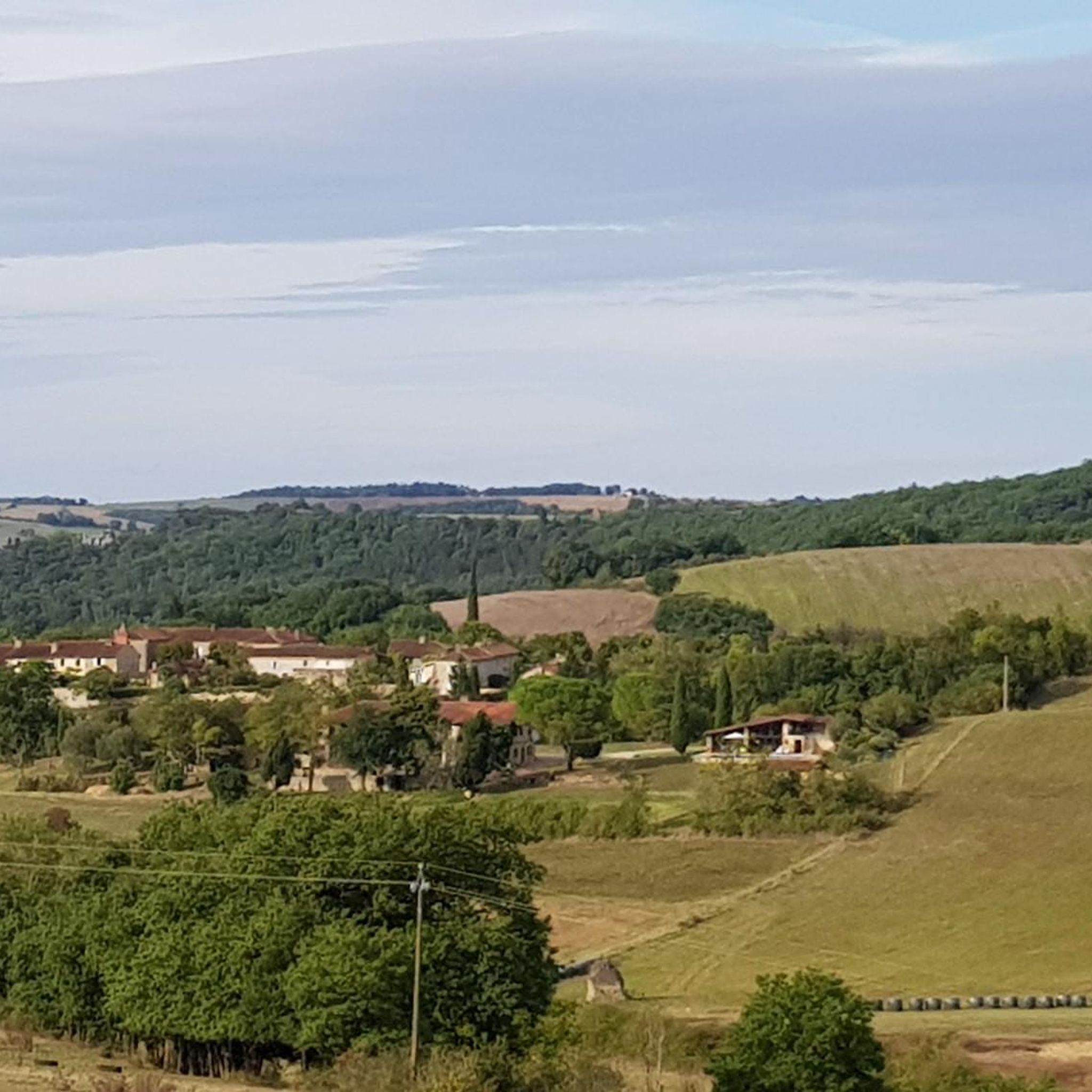
Jogging around Saint-Arailles offers diverse terrain across rolling hills and undulations, with elevations ranging from 136 to 236 meters. The region is characterized by a blend of agricultural landscapes, including cereal fields and vineyards, alongside natural forests and river valleys. This varied geography provides a range of running experiences, from gentle paths to more challenging ascents.
Best jogging routes around Saint-Arailles
- The most popular jogging route is Du lac et des coteaux du Lizet — loop — running from Montesquiou…
Last updated: October 15, 2026
4.00km
00:29
70m
70m
Moderate run. Great for any fitness level. Mostly accessible paths. Some sure footedness required.
6
runners
12.4km
01:22
180m
180m
Moderate run. Good fitness required. Mostly paved surfaces. Suitable for all skill levels.

3
runners
9.76km
01:02
130m
130m
Moderate run. Good fitness required. Mostly paved surfaces. Suitable for all skill levels.
5
runners
12.1km
01:28
180m
180m
Moderate run. Good fitness required. Mostly paved surfaces. Suitable for all skill levels.
3
runners
8.58km
01:00
110m
110m
Moderate run. Good fitness required. Mostly paved surfaces. Suitable for all skill levels.
Get access to more routes and recommendations from other explorers.
Already have an account?
Our route recommendations are based on thousands of hikes, rides, and runs completed by other people on komoot.
Start today with a free account
Your next adventure awaits.
Popular around Saint-Arailles
Tips from the Community

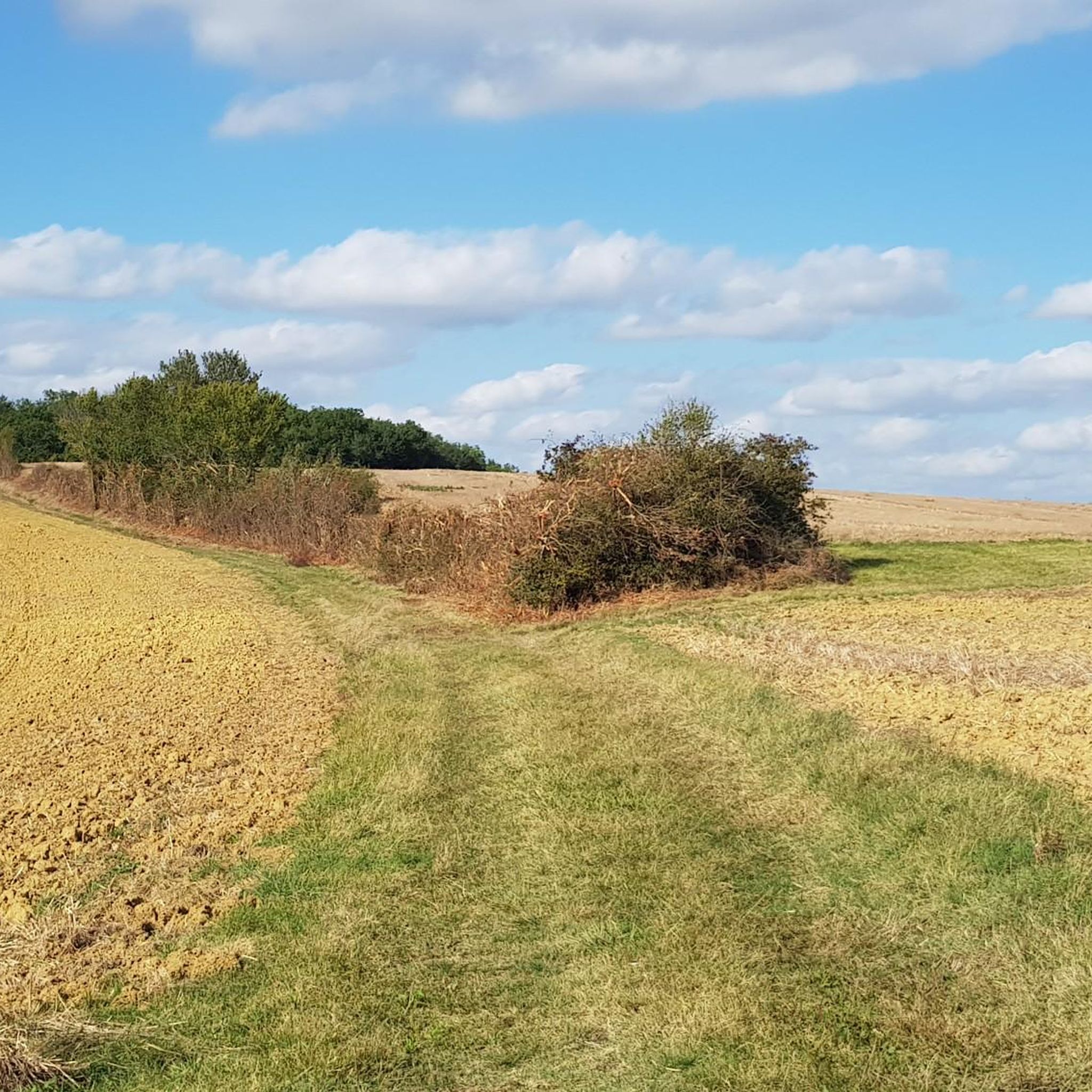
A beautiful lake set in a varied environment of forests, hills and meadows. A truly beautiful place to go for a run.
4
1
A beautiful lake set in a varied environment of forests, hills and meadows. A truly beautiful place to hike.
4
1


East of Montesquiou and west of Isle-de-Noé, Lac du Lizet was created to meet the water needs of Gascogne. It welcomes many birds and its hills overlooking it are among the richest and remarkable in the Gers.
1
0
Frequently Asked Questions
How many running routes are available in Saint-Arailles?
There are over 10 dedicated running routes around Saint-Arailles, offering a variety of experiences across the region's diverse landscape. All routes are currently rated as moderate, providing engaging challenges for most runners.
What kind of terrain can I expect on the running trails around Saint-Arailles?
The Saint-Arailles region is characterized by rolling hills and gentle undulations, with elevations ranging from 136 to 236 meters. You'll find a harmonious blend of agricultural landscapes, including cereal fields and vineyards, alongside natural forests and river valleys. This varied geography ensures a dynamic running experience, from paths through meadows to routes with more challenging ascents.
Are there any running routes suitable for less experienced runners or families?
While all routes in this guide are rated as moderate, many are manageable for those looking for a steady run without extreme difficulty. For example, the Du lac et des coteaux du Lizet — loop — running from Montesquiou is a 4 km loop that offers a scenic and relatively shorter option, perfect for a refreshing outing.
Can I bring my dog on the running trails in Saint-Arailles?
Many natural trails in the Saint-Arailles area are suitable for running with dogs. However, it's always recommended to keep your dog on a leash, especially when passing through agricultural fields, near livestock, or in protected natural areas. Please ensure you clean up after your pet to maintain the beauty of the trails for everyone.
What interesting landmarks or natural features can I see while running in Saint-Arailles?
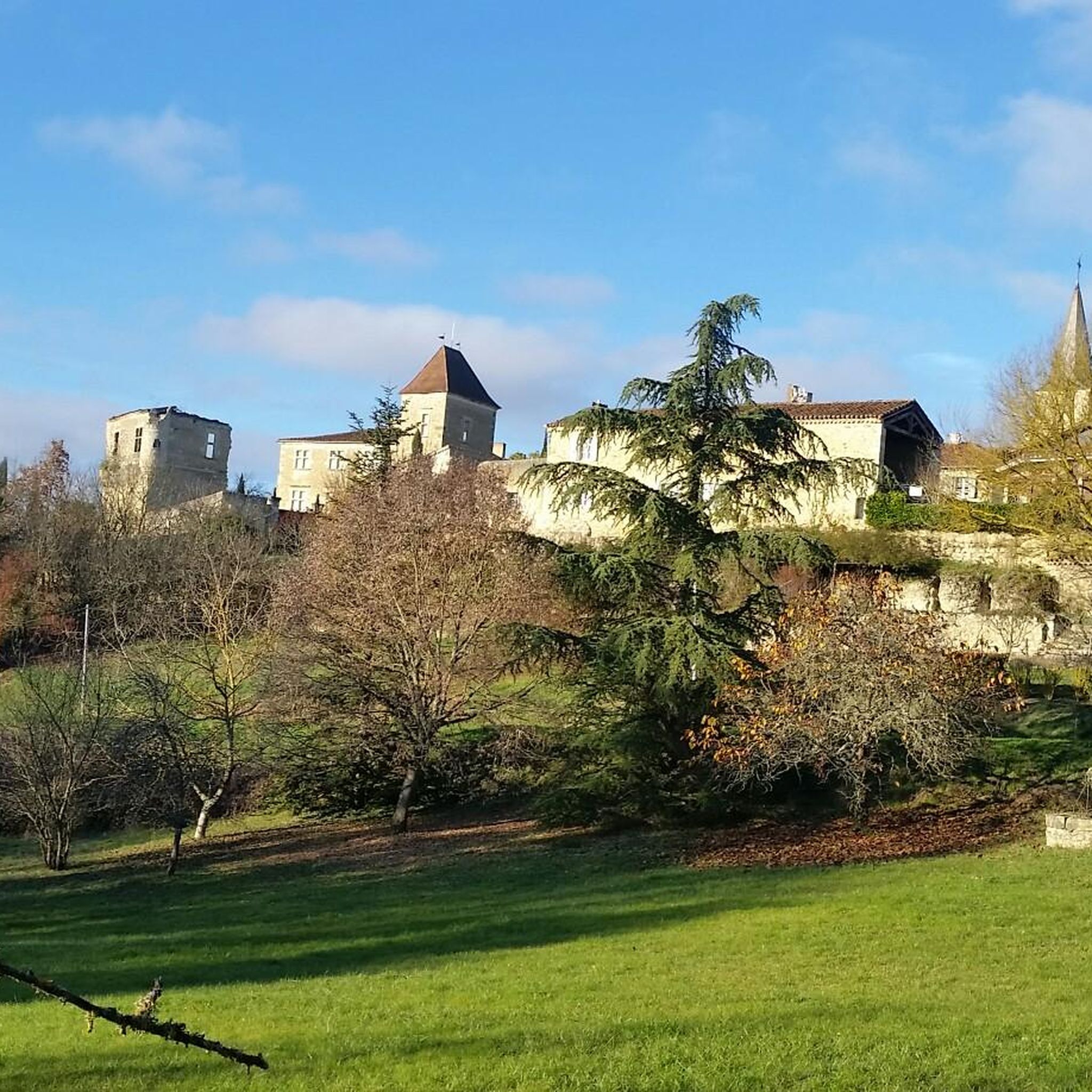
The region offers a rich tapestry of sights. Many routes, such as those around Lac du Lizet, wind through forests and meadows. You might also encounter historical elements like the fortified castelnau of Saint-Arailles, the 13th-century Chapel of Notre-Dame-de-Brétous, or a Gallo-Roman pile. Some trails even offer panoramic views of the distant Pyrénées mountain range.
Are there many circular running routes in the Saint-Arailles area?
Yes, many of the running routes in Saint-Arailles are designed as loops, allowing you to start and finish in the same location. Popular examples include the Lac du Lizet – Lac du Lizet loop from Estipouy and the Lac du Lizet loop from L'Isle-de-Noé, both offering scenic circular runs around the lake and surrounding countryside.
What do other runners enjoy most about jogging in Saint-Arailles?
Runners frequently praise the diverse and engaging scenery, from the tranquil paths around Lac du Lizet to the rolling hills offering views of the Gascony countryside. The blend of natural forests, agricultural fields, and historical points of interest provides a varied and stimulating environment for outdoor exercise.
Are there any routes that offer views of the Pyrénées mountains?
Yes, certain routes in the Saint-Arailles area, particularly those with higher elevations or open vistas, can offer spectacular panoramic views of the Pyrénées mountain range on clear days. The 'Autour du Castelnau' itinerary, for instance, is known for providing such breathtaking visual elements during your run.
What is the best time of year to go running in Saint-Arailles?
The Gers department, where Saint-Arailles is located, generally experiences pleasant weather for outdoor activities for much of the year. Spring and autumn offer mild temperatures and beautiful scenery, making them ideal. Summer can be warm, so early morning or late afternoon runs are preferable. Winter runs are also possible, though trails might be muddy after rain.
Are there any running routes that pass by water bodies?
Absolutely. The commune is drained by rivers like the Osse and Lizet, and features the prominent Lac du Lizet. Several popular running routes, such as the Du lac et des coteaux du Lizet — loop — running from Montesquiou, specifically incorporate the lake and its surrounding natural areas, offering serene views and a refreshing atmosphere.
Are there any longer running routes for more experienced runners?
For those seeking a longer challenge, routes like the Running loop from Barran, at over 12 km, or the Running loop from Mirande, at nearly 10 km, provide extended distances and moderate elevation gains. These routes allow for a more sustained running experience through the varied landscapes of the region.
Are there any specific trails that highlight the agricultural beauty of the region?
Many running routes in Saint-Arailles naturally showcase the agricultural character of the Pays d'Auch. You'll often find yourself running alongside vast cereal fields and vineyards, offering a picturesque backdrop that reflects the region's rich farming heritage. The blend of cultivated land with natural forests is a defining feature of the local running experience.
Most popular attractions around Saint-Arailles

Get inspired with the komoot mobile app


Explore more
Browse the best Running Trails & Routes in other regions.
