The best walks and hikes around Montvalezan
4.3
(570)
5,762
hikers
44
hikes
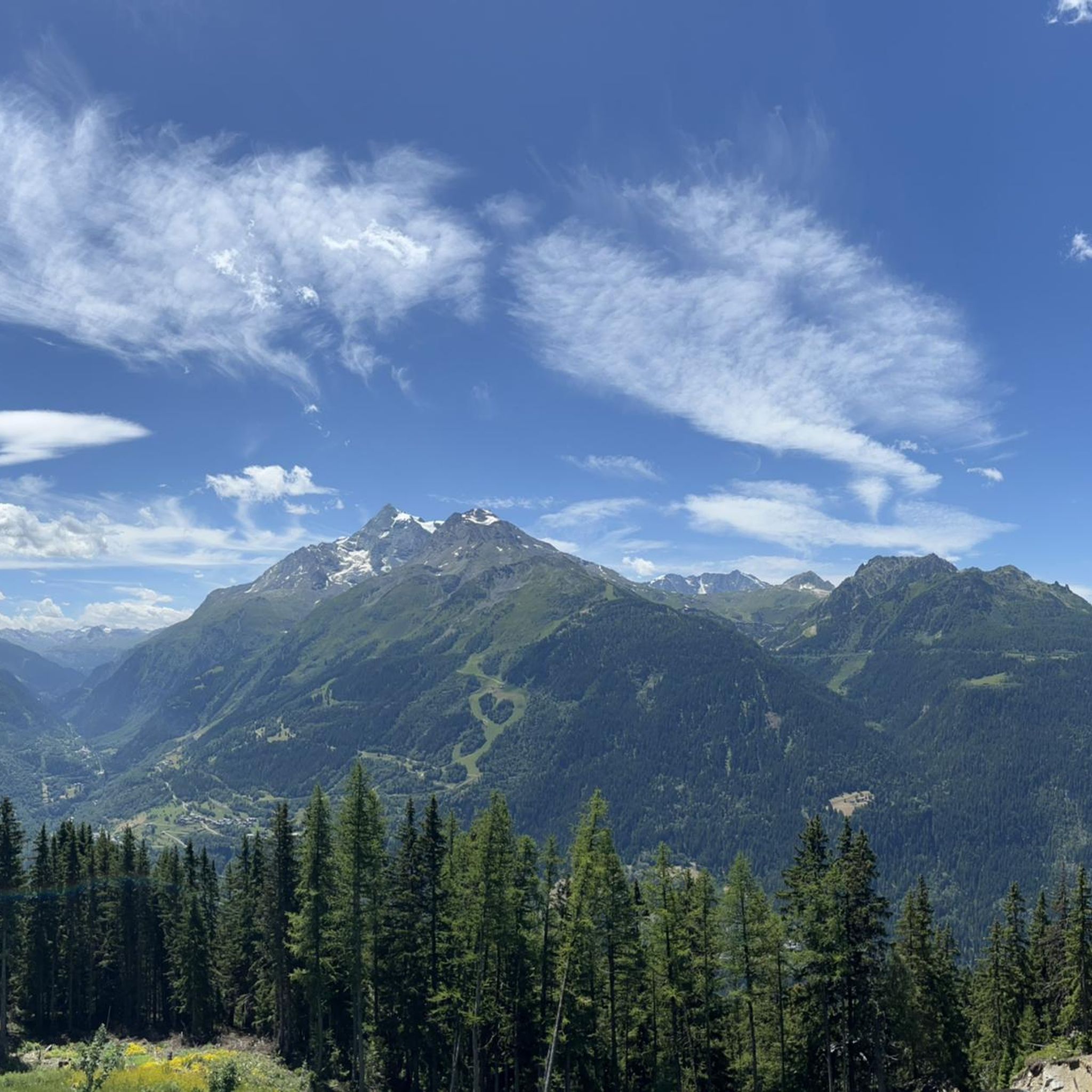
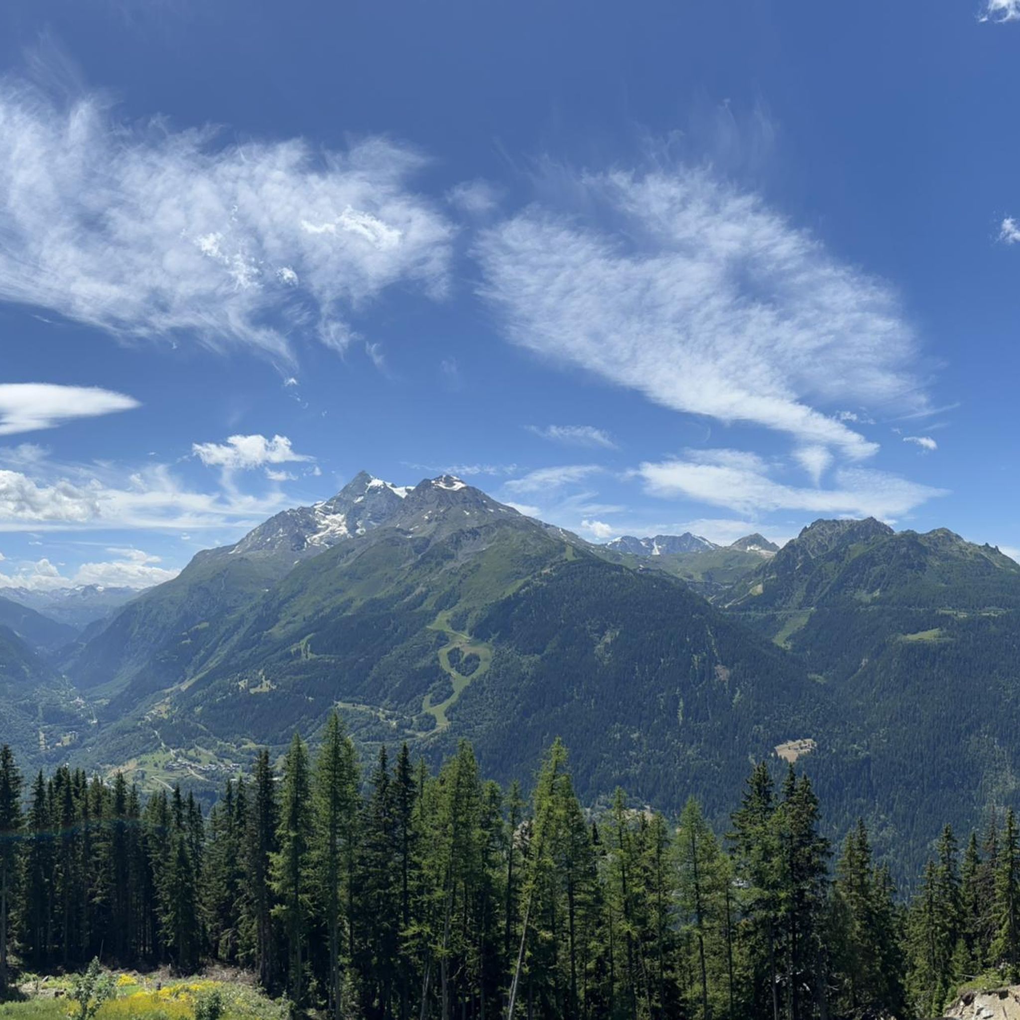
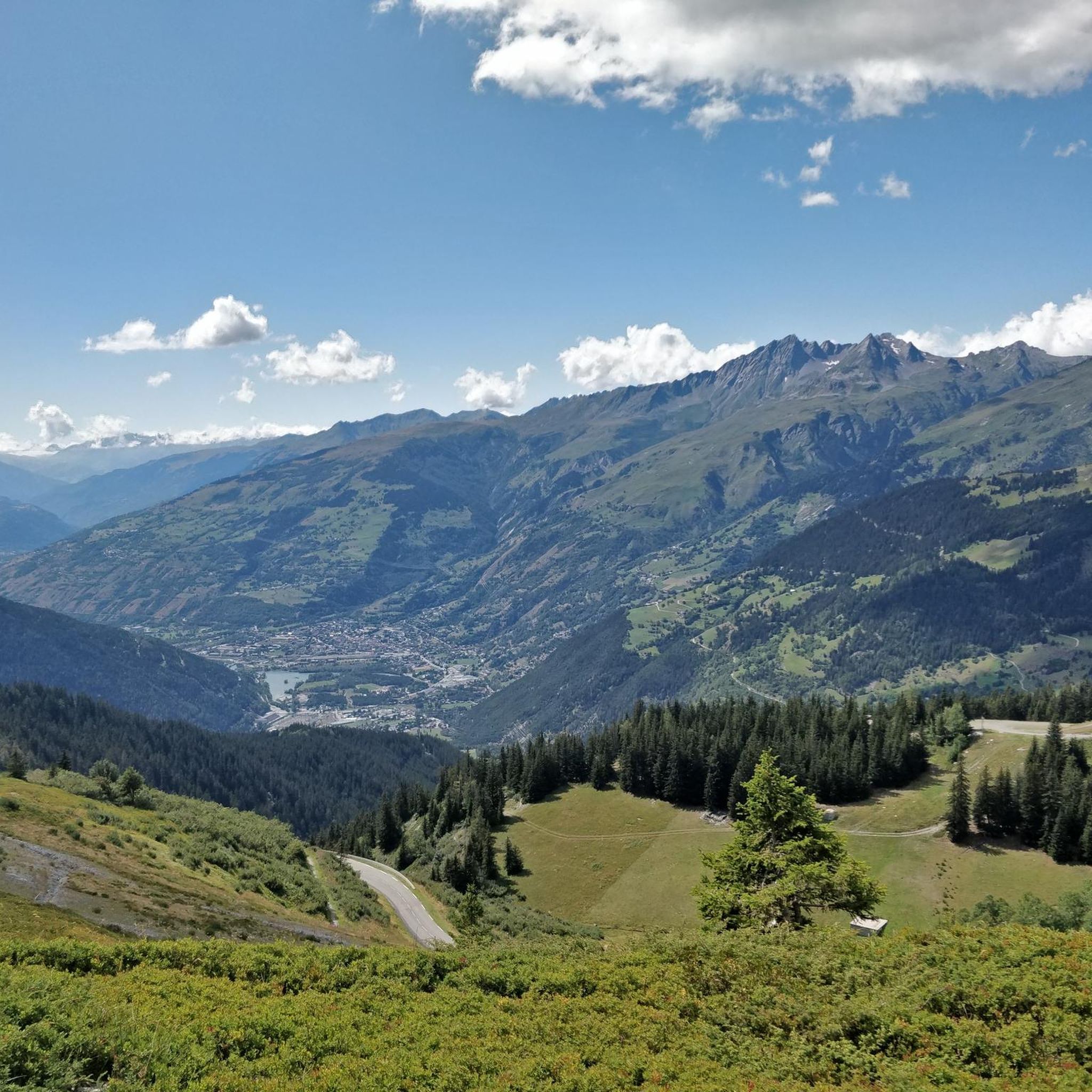
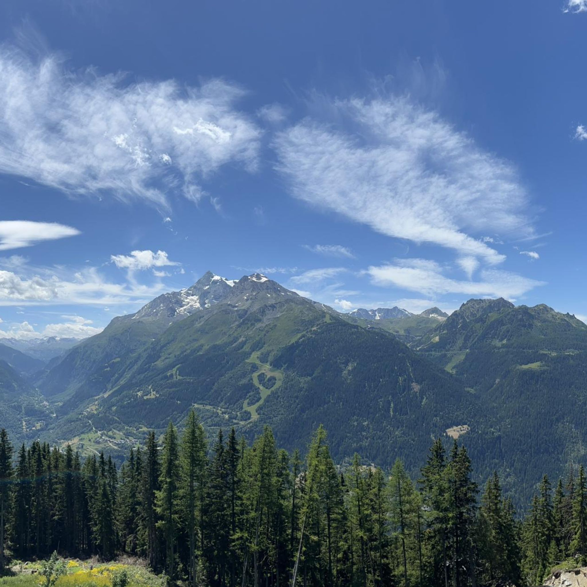
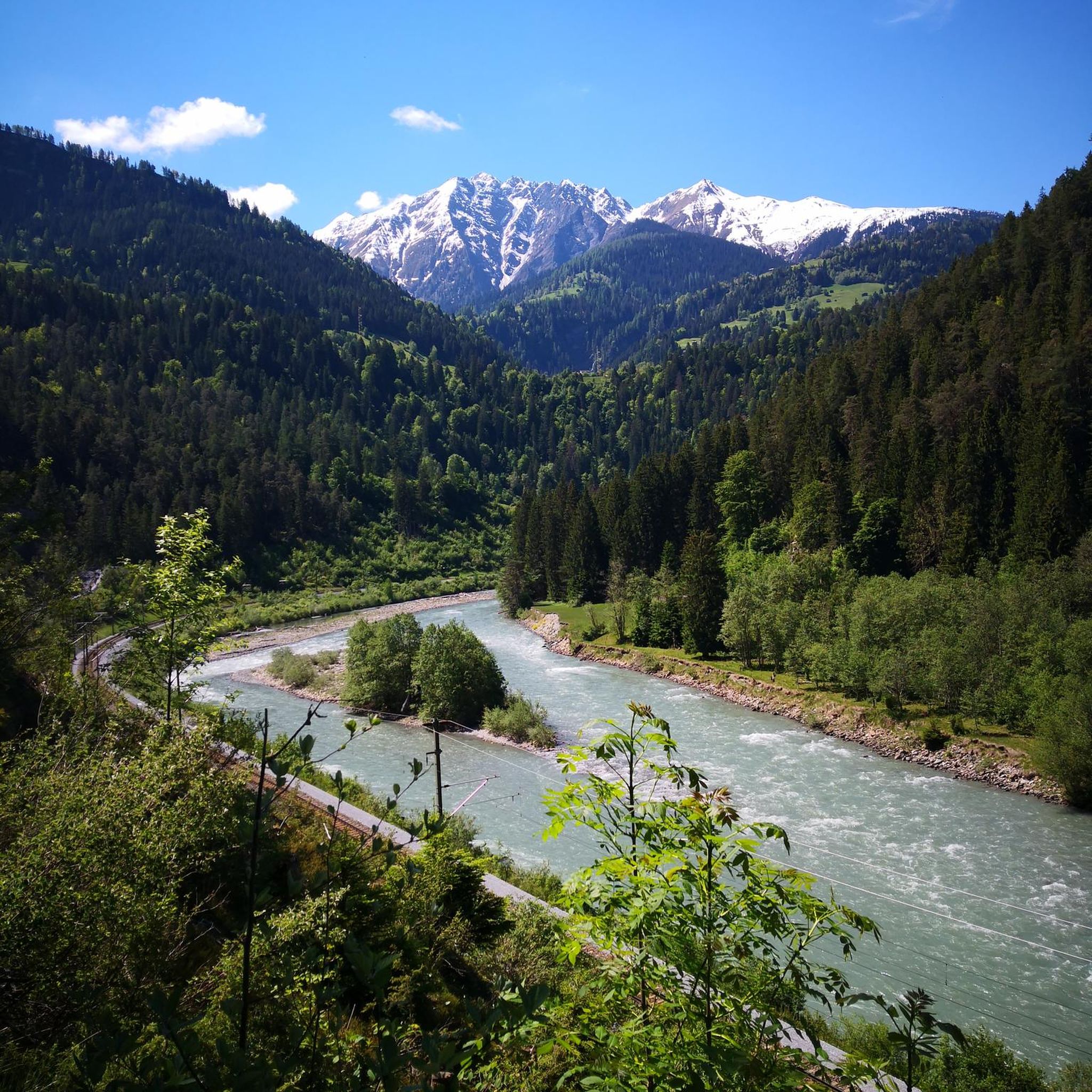
Hiking around Montvalezan offers access to high alpine landscapes within the French Alps. The region is characterized by dramatic mountainous terrain, including numerous summits, mountain passes, and the Rutor glacier. Features such as the three Rutor waterfalls and several alpine lakes, including Lac du Verney, contribute to the diverse natural environment. Traditional villages and hamlets are also present, providing cultural points of interest along routes.
Best hiking trails around Montvalezan
- The most popular hiking route is Ridge Path – Col de la Traversette loop from Montvalezan, an 8.0 miles (12.8 km) trail that takes 4 hours 12 minutes to complete. This route offers panoramic views of the alpine landscape.
- Another top favourite among local hikers is Panorama of the Summits – La Rosière loop from Office de Tourisme de La Rosière, a moderate 5.3 miles (8.5 km) path. This trail features views of surrounding summits and the La Rosière area.
- Local hikers also love the Passage du Retour – Lake du Retour loop from Montvalezan, a 10.4 miles (16.8 km) trail leading through alpine lakes and dramatic glacial terrain, often completed in about 7 hours 6 minutes.
- Hiking around Montvalezan is defined by dramatic glacial landscapes, high mountain passes, and alpine lakes. The network offers options for different ability levels, from easy paths to challenging ascents.
- The routes in Montvalezan are highly rated by the komoot community with an average score of 4.4 stars from over 400 reviews. More than 5000 hikers have used komoot to explore Montvalezan's varied terrain.
Last updated: August 18, 2026
4.2
(33)
312
hikers
12.6km
04:08
590m
590m
Moderate hike. Good fitness required. Mostly accessible paths. Sure-footedness required.
4.8
(26)
330
hikers
7.69km
02:21
260m
250m
Moderate hike. Good fitness required. Easily-accessible paths. Suitable for all skill levels.

Sign up for free
4.6
(25)
208
hikers
15.3km
06:39
900m
900m
Hard hike. Very good fitness required. Sure-footedness, sturdy shoes and alpine experience required.
4.6
(22)
234
hikers
10.4km
03:17
400m
400m
Moderate hike. Good fitness required. Easily-accessible paths. Suitable for all skill levels.
4.0
(5)
133
hikers
4.29km
01:11
70m
70m
Easy hike. Great for any fitness level. Easily-accessible paths. Suitable for all skill levels.
Get access to more routes and recommendations from other explorers.
Sign up for free
Already have an account?
Our route recommendations are based on thousands of hikes, rides, and runs completed by other people on komoot.
Start today with a free account
Your next adventure awaits.
Login or Signup

Tips from the Community

La Rosière is an alpine resort overlooking the French Tarantasia, known for its panoramic position and its connection to La Thuile through the international Espace San Bernardo area. In summer, it is an ideal starting point for hikes and mountain bike tours, with numerous services dedicated to bikers and splendid views of the French Alps.
0
0

The Engraved Stone marks the intersection of three trails. From here, you can head towards Fort de la Redoute, the Louie Blanche Passage, or the Retour Passage via Plan Pigeux, which can also lead you back to Les Euchers. This stone was engraved by soldiers between the two wars and is undoubtedly closely linked to the life of the Fort.
0
0

The Forte della Ridotta della Traversette is located at 2400 m in a dominant position on the French side of the Colle del Piccolo San Bernardo. A fort already existed in the seventeenth century when Savoy and Valle d'Aosta were united in the possessions of the House of Savoy. The transfer of the royal seat from Chambéry to Turin transformed what is now Haute-Savoie into a province of secondary importance and at the end of the century fortifications began to be built on the border of the territories of the Savoy, separating regions that until then had shared the same traditions, culture, religion and language. The current fort was built in 1891 on the ruins of the old fort destroyed during the French Revolution, taking advantage of its strategic position for the military surveillance of the national borders. Initially it was occupied only in the summer period and later throughout the year to train the troops in the difficult mountain conditions. In the 1930s, the fort was equipped with shooting ranges, radio equipment, and equipment for the troops and their supplies in response to the great defensive project, the Alpine Wall, desired by Mussolini. On June 10, 1940, Italy declared war on France and began a massive mobilization on the borders. On June 21, an air and ground attack kept the brave soldiers stationed at the fort, led by Lieutenant Desserteaux, busy for 4 days. The fort was occupied by Italian troops, then German ones, and liberated after fierce fighting in April 1945. Today, in ruins, it is located directly on the slopes of the Piccolo San Bernardo International ski area that connects the resorts of La Thuile in the Aosta Valley and La Rosière in Haute-Savoie.
0
0

The pink roads lead to the station... But their gradient is rather full-bodied red.
0
0

This passage is rather difficult because the path is exposed: be careful if you are prone to vertigo. However, there is no technical difficulty as such. Once you get there, all the efforts are rewarded because the landscape is sublime.
0
0

Difficult passage for people with vertigo and I'm not talking about the difference in height. beautiful ballad
0
0

The torrent of the mills between Putetruit and the Pigeux Plan at the beginning of the summer, easily accessible by the mountain pasture path from the Eucherts district in La Rosière.
0
0
Frequently Asked Questions
How many hiking trails are available in Montvalezan?
Montvalezan offers a diverse network of over 40 hiking trails, catering to various skill levels. You'll find options ranging from easy strolls to more challenging alpine ascents, with 10 easy, 22 moderate, and 11 difficult routes.
Are there any family-friendly hiking options in Montvalezan?
Yes, Montvalezan provides several easy trails suitable for families. For instance, the Panorama of the Summits loop from Montvalezan is an easy 5.6 km (3.5 miles) route that offers pleasant views without significant elevation gain. Exploring the traditional villages and chapels, such as Le Châtelard with its Saint-Michel chapel, can also be a delightful family activity.
Can I find trails with waterfalls in Montvalezan?
Absolutely. Montvalezan is renowned for its dramatic glacial landscapes, including the impressive Rutor waterfalls. These three waterfalls, fed by the Rutor glacier, cascade into gorges. You can visit the Rutor’s First Waterfall or the broader Rutor Waterfalls, which are significant natural highlights in the area.
Are there any circular hiking routes in Montvalezan?
Yes, many of the trails in Montvalezan are circular, allowing you to start and end at the same point. A popular moderate option is the Ridge Path – Col de la Traversette loop from Montvalezan, which covers 12.8 km (8.0 miles) and offers panoramic views. Another great choice is the Panorama of the Summits – La Rosière loop from Office de Tourisme de La Rosière, a moderate 8.5 km (5.3 miles) path with views of surrounding peaks.
What kind of natural features can I expect to see on hikes in Montvalezan?
Montvalezan's hikes showcase stunning alpine landscapes. You'll encounter dramatic mountainous terrain, including numerous summits and mountain passes offering breathtaking panoramic views. Key features include the Rutor glacier, the three Rutor waterfalls, and serene alpine lakes like Lac du Verney. The region also provides opportunities to spot diverse wildlife such as chamois, marmots, and golden eagles.
Are there any notable landmarks or historical sites to explore while hiking?
Yes, Montvalezan offers several points of interest beyond its natural beauty. The Punta della Croce and Ancient Fortifications provide a glimpse into the region's history. Additionally, the Fort de la Redoute Ruinée, located at 2400 meters, is easily accessible and offers a spectacular 360-degree panorama of the Mont Blanc massif and the Petit Saint-Bernard pass.
What do other hikers enjoy most about hiking in Montvalezan?
The area is highly rated by the komoot community, with an average score of 4.4 stars from over 470 reviews. Hikers frequently praise the dramatic glacial landscapes, the breathtaking views from high mountain passes, and the serene beauty of the alpine lakes. The diverse terrain offers rewarding experiences for all ability levels.
Are there any mountain refuges or huts available for longer hikes?
Yes, for those undertaking multi-day treks or seeking a rest stop, mountain refuges are available. The Alberto Deffeyes Hut, situated at 2500 meters in the Graian Alps, is strategically placed at the foot of the Testa del Rutor and the Rutor glacier, amidst numerous alpine lakes, offering essential services.
What is the best time of year for hiking in Montvalezan?
The warmer months, typically from late spring to early autumn, are ideal for hiking in Montvalezan. During this period, the snow has largely melted from lower and mid-altitudes, making trails accessible and showcasing the vibrant alpine flora. The La Rosière ski resort area also transforms into excellent hiking terrain during these months.
Are there any less crowded hiking options in Montvalezan?
While popular routes like the Ridge Path offer stunning views, exploring some of the 44 traditional villages and hamlets, such as Le Châtelard, can provide a quieter experience. Many of the 14 chapels in the commune are connected by charming, less frequented paths, allowing for cultural walks away from the main trails.
What is the most challenging hike in Montvalezan?
For experienced hikers seeking a challenge, the Passage du Retour – Lake du Retour loop from Montvalezan is a difficult 16.8 km (10.4 miles) trail. This route leads through dramatic glacial terrain and alpine lakes, involving significant elevation changes and typically taking around 7 hours to complete.
Most popular routes around Montvalezan
Most popular attractions around Montvalezan

Get inspired with the komoot mobile app


Explore more
Browse the best Hikes in other regions.
