The best mountain hikes around Sollières-Sardières
4.9
(11)
61
hikers
10
hikes
Mountaineering around Sollières-Sardières offers access to the diverse alpine landscapes of the Haute Maurienne Vanoise region, situated at the edge of the Vanoise National Park. The terrain is characterized by prominent geological features such as the 93-meter Monolithe of Sardières, and numerous high-altitude passes like Col du Sommeiller (2,995 meters) and Col de Sollières (2,640 meters). The area features a mix of pine and spruce forests, high-altitude lakes, and the River Arc, providing varied environments for mountaineering. Panoramic views of…
Last updated: July 15, 2026
4.5
(4)
19
hikers
11.4km
05:41
960m
960m
Hard mountaineering route. Very good fitness required. Sure-footedness, sturdy shoes and alpine experience required.
5.0
(4)
10
hikers
12.8km
05:12
600m
600m
Hard mountaineering route. Very good fitness required. Mostly accessible paths. Sure-footedness required.

Sign up for free
5
hikers
15.6km
07:08
1,010m
1,010m
Hard mountaineering route. Very good fitness required. Mostly accessible paths. Sure-footedness required.
5.0
(1)
8
hikers
Hard mountaineering route. Very good fitness required. Mostly accessible paths. Sure-footedness required.
5.0
(2)
6
hikers
15.1km
07:23
1,120m
1,120m
Hard mountaineering route. Very good fitness required. Sure-footedness, sturdy shoes and alpine experience required.
Get access to more routes and recommendations from other explorers.
Sign up for free
Already have an account?
Our route recommendations are based on thousands of hikes, rides, and runs completed by other people on komoot.
Start today with a free account
Your next adventure awaits.
Login or Signup
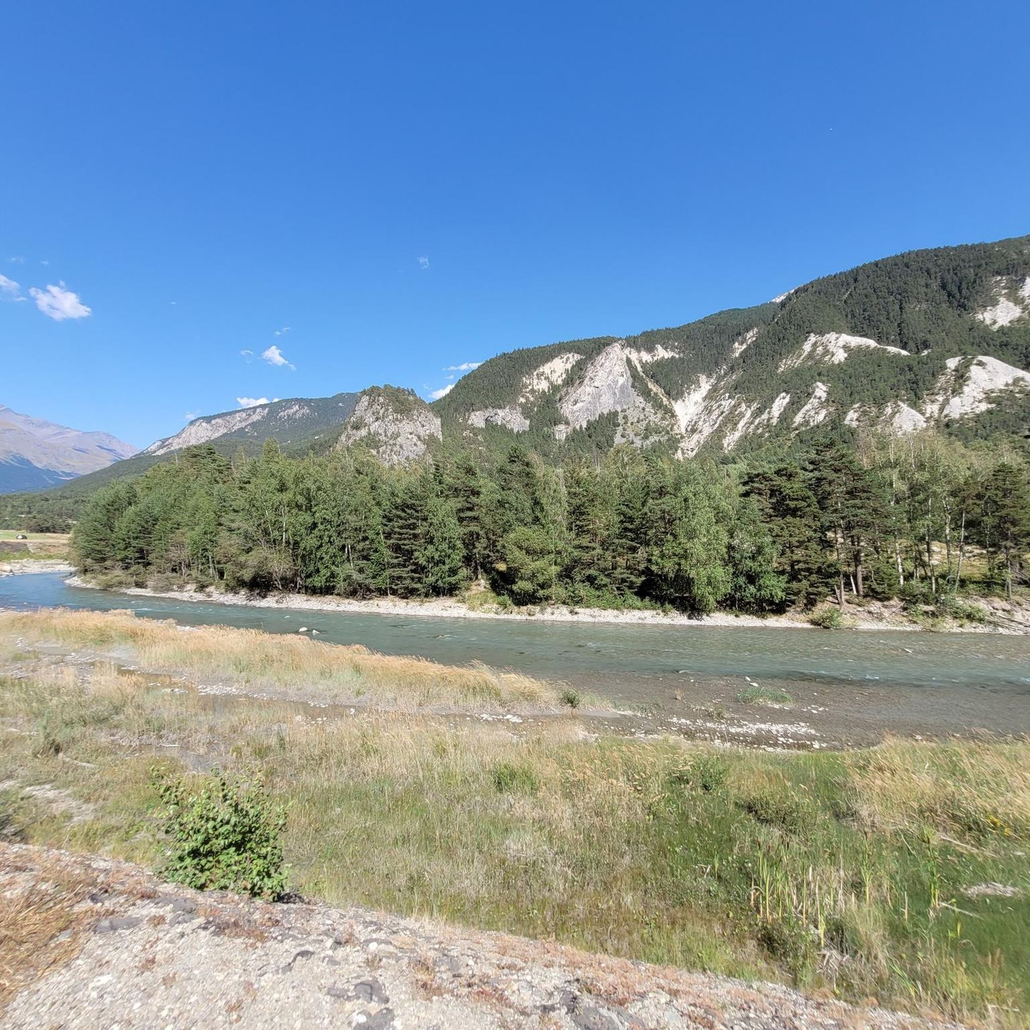
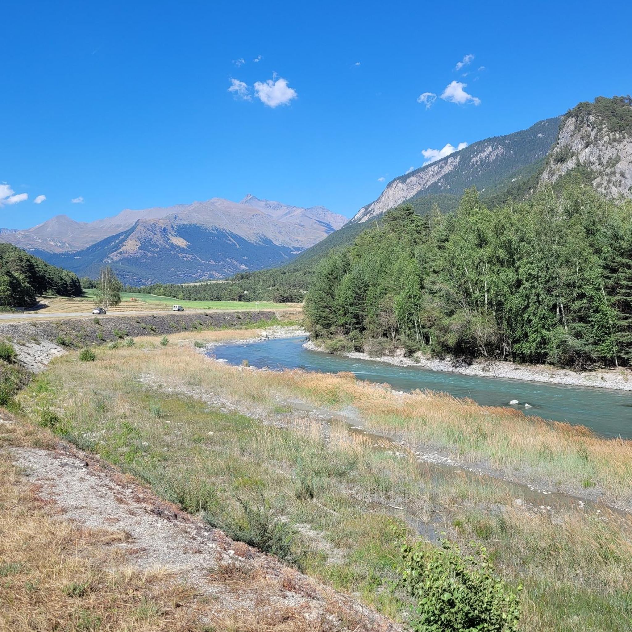
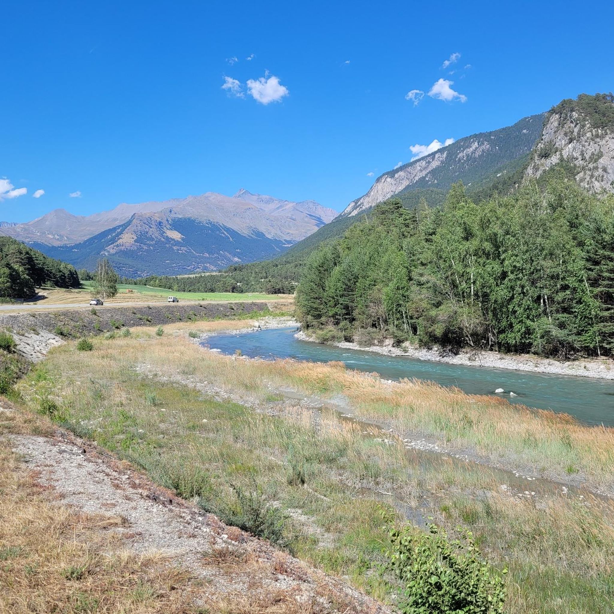
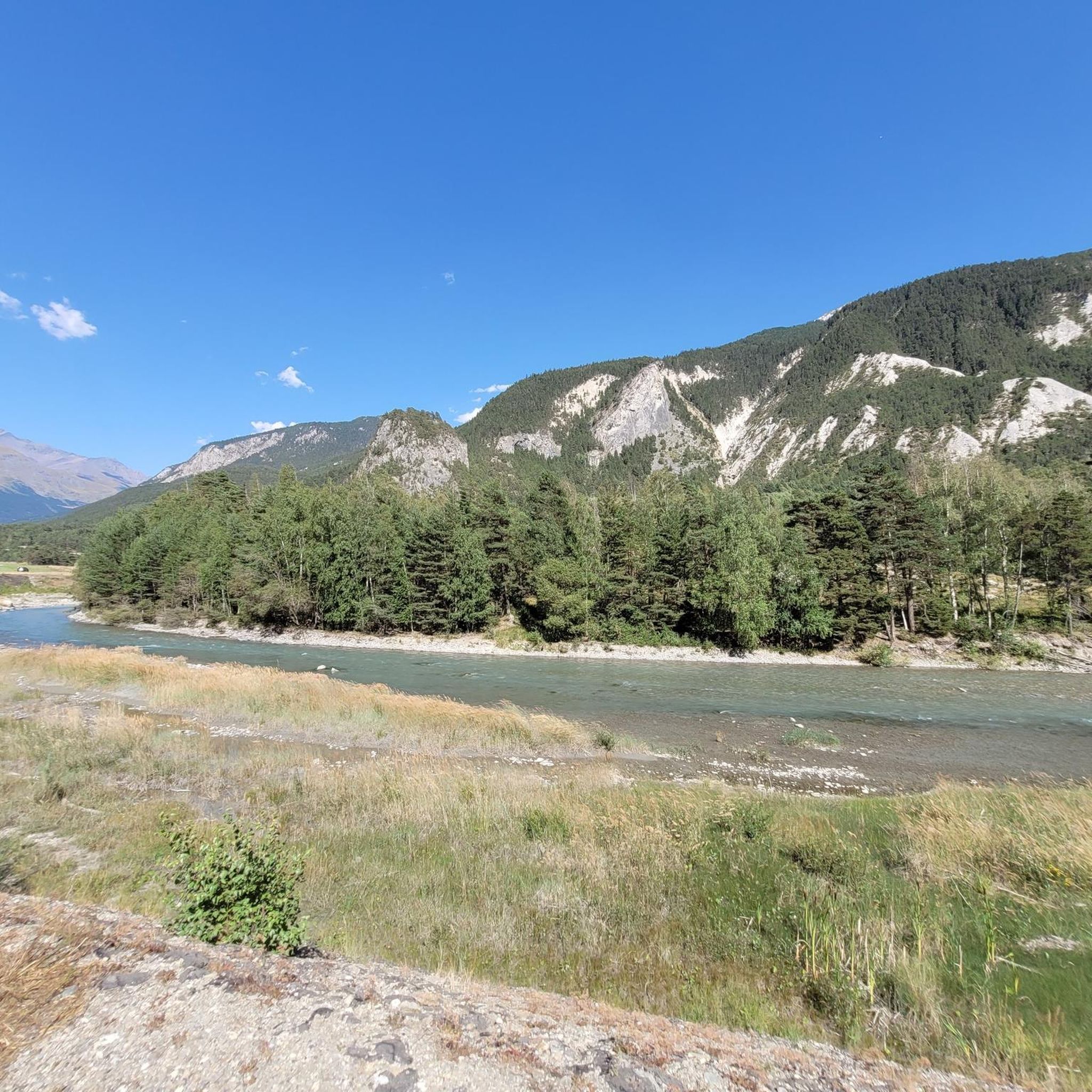
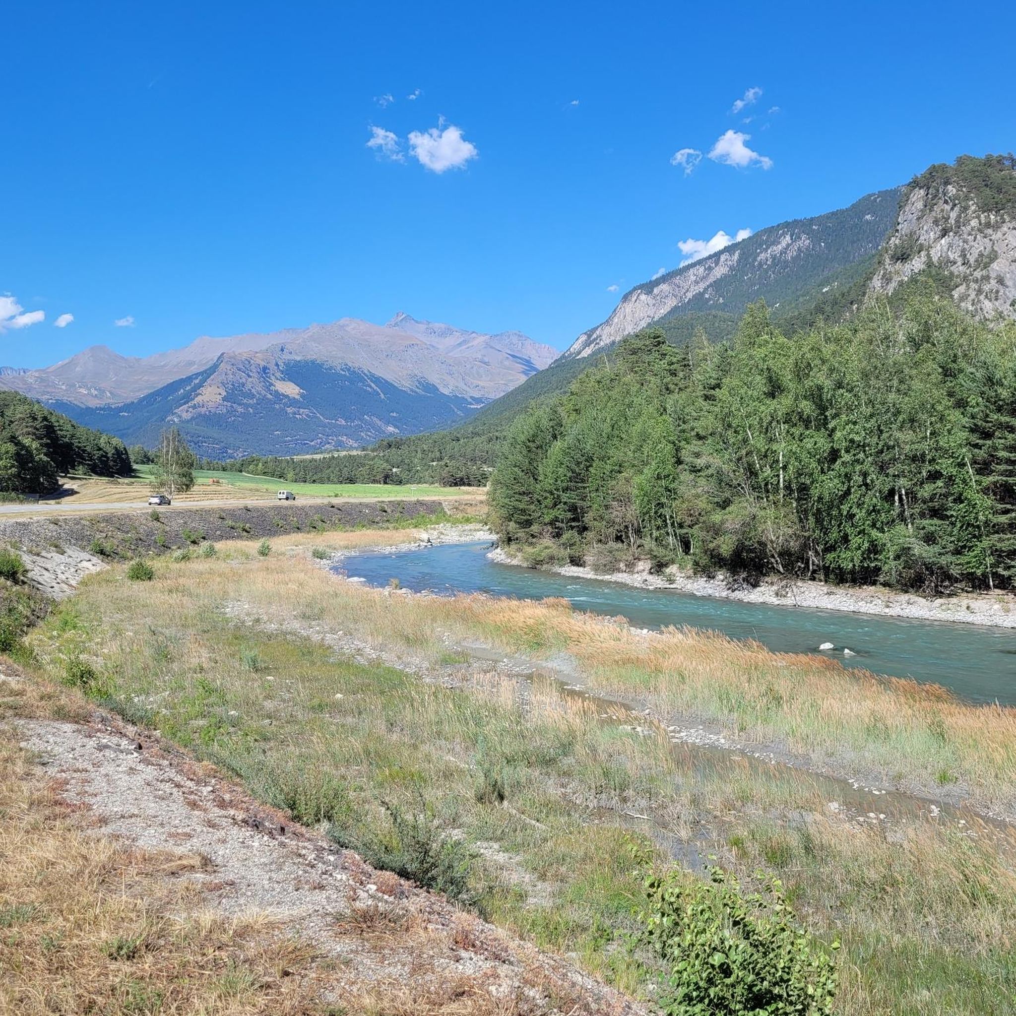
Tips from the Community

A refuge like so many others. Accessible by car...
0
0
A meadow surrounded by chalets. Magnificent...
0
0
Beautiful place accessible by car...
0
0

Lake Savine is a unique sight; we saw it covered in snow at the end of September! If you're heading towards Colle Clapier or the bivouac of the same name, we recommend crampons (especially for the descent, which can be icy in some places). In winter, you may also need snowshoes.
0
0

a magnificent corner of paradise to discover alone or accompanied, walking between mountain pastures and minerals
0
0

In high season, the refuge can accommodate up to 70 people. It also offers a catering service, and hikers passing through can stop simply for a drink. You will also find a drinking water point, toilets and PRM access.
0
0

Colle Clapier, located in the Cottian Alps, is a historic Alpine pass that connects Italy and France. At 2,491 meters above sea level, it offers breathtaking views and a route full of history, considered by some scholars to be one of the possible passages crossed by Hannibal during his famous crossing of the Alps.
0
0
Frequently Asked Questions
What kind of mountaineering routes can I expect in Sollières-Sardières?
Sollières-Sardières offers a variety of mountaineering routes, primarily in the difficult category. You'll find paths traversing high mountain terrain, alpine lakes, and dense forests, with significant elevation changes. The region is known for its challenging and rewarding experiences, often leading to breathtaking views of the Mont Cenis and Ambin massifs.
Are there any routes suitable for less experienced mountaineers?
While the majority of routes in Sollières-Sardières are classified as difficult, there are a few moderate options available. These routes still require good physical condition and sure-footedness but might be less demanding than the most challenging ascents in the area. Currently, there are 4 moderate routes listed in the area.
What are some of the natural features or landmarks I might encounter on a mountaineering route?
Mountaineering routes in Sollières-Sardières often lead you through stunning natural landscapes. You might encounter high-altitude lakes like Lac Martin or Lac de Savine, dense pine and spruce forests, and dramatic mountain passes such as Col de Sollières or Col du Sommeiller. The region is also home to the distinctive 93-meter Monolithe of Sardières, a prominent geological formation.
Are there any circular mountaineering routes in Sollières-Sardières?
Yes, several mountaineering routes in the area are designed as loops, allowing you to start and finish at the same point. For example, you could explore the Plan d'Amont Reservoir – View of Plan d'Amont loop from Plan d'Amont, which offers views of the reservoir, or the Lanserlia Pass – Petit Lanserlia loop from Bellecombe, traversing mountain passes.
What is the typical duration for a mountaineering route in this region?
The duration of mountaineering routes in Sollières-Sardières varies depending on the distance and elevation gain. Many of the difficult routes can take between 5 to 7 hours to complete. For instance, the Chapelle Notre-Dame-des-Neiges – Partie Lake loop from Mont d'Ambin Base Tunnel typically takes around 5 hours 36 minutes, while the Refuge du Petit Mont Cenis – Signal of Petit Mont Cenis loop from Refuge du Petit Mont Cenis can take over 6 hours.
What do other mountaineers say about the routes in Sollières-Sardières?
The mountaineering routes in Sollières-Sardières are highly regarded by the komoot community, holding an average rating of 4.8 stars from over 10 reviews. Mountaineers often praise the challenging terrain, the stunning alpine scenery, and the sense of accomplishment gained from completing these demanding trails.
Are there any mountain refuges or huts along the routes?
Yes, mountain refuges can serve as excellent starting points or rest stops for your mountaineering adventures. The Petit Mont Cenis Refuge is one such location, offering accommodation and food, and is a key point for routes like the Petit Mont Cenis Refuge – Lac de Savine loop from Ancien Fort de Pattacreuse.
What is the best time of year for mountaineering in Sollières-Sardières?
The best time for mountaineering in Sollières-Sardières is typically during the warmer months, from late spring to early autumn, when the high-altitude passes are clear of snow and weather conditions are more stable. Always check local weather forecasts and trail conditions before heading out, especially in shoulder seasons.
Is it possible to spot wildlife while mountaineering in this region?
Being on the border of the Vanoise National Park, Sollières-Sardières offers opportunities for wildlife spotting. The unspoiled wilderness of the park is home to diverse flora and fauna, so keep an eye out for local wildlife, particularly in quieter areas and during early morning or late afternoon.
Are there any specific peaks or viewpoints recommended for panoramic views?
The region is rich with peaks and passes offering extensive panoramic views. You can expect stunning vistas of the Mont Cenis and Ambin massifs from many high points. Specific peaks like Pointe de l'Observatoire or Lanserlia Peak are known for their commanding perspectives of the surrounding alpine landscape.
What are the typical elevation gains on mountaineering routes here?
Mountaineering routes in Sollières-Sardières feature significant elevation gains, reflecting the challenging nature of the terrain. You can expect ascents ranging from approximately 500 meters to over 1000 meters on many routes. For example, the Plan d'Amont Reservoir – View of Plan d'Amont loop from Plan d'Amont involves an elevation gain of over 960 meters.
Most popular routes around Sollières-Sardières
Most popular attractions around Sollières-Sardières

Get inspired with the komoot mobile app


Explore more
Browse the best Mountain Hikes & Routes in other regions.
