The best walks and hikes around Fontenermont
4.3
(171)
847
hikers
94
hikes
Hiking around Fontenermont offers exploration of the tranquil, rural French countryside known as the Bocage. The region is characterized by rolling green landscapes, a mosaic of woodlands, pastures, and hedgerows, providing varied scenery for walkers. With an average altitude of 210 meters, the terrain varies between 170 and 265 meters, contributing to diverse exploration opportunities. Proximity to natural features like the Forêt de Saint-Sever enhances the area's appeal for hikers.
Best hiking trails around Fontenermont
- The most popular hiking route…
Last updated: August 15, 2026
4.5
(13)
103
hikers
8.06km
02:11
110m
110m
Moderate hike. Good fitness required. Easily-accessible paths. Suitable for all skill levels.
5.0
(6)
15
hikers
Easy hike. Great for any fitness level. Easily-accessible paths. Suitable for all skill levels.

Sign up for free
4.5
(6)
14
hikers
19.4km
05:21
330m
330m
Hard hike. Very good fitness required. Easily-accessible paths. Suitable for all skill levels.
5.0
(3)
8
hikers
11.8km
03:17
220m
220m
Moderate hike. Good fitness required. Easily-accessible paths. Suitable for all skill levels.
4.5
(2)
12
hikers
Easy hike. Great for any fitness level. Easily-accessible paths. Suitable for all skill levels.
Get access to more routes and recommendations from other explorers.
Sign up for free
Already have an account?
Our route recommendations are based on thousands of hikes, rides, and runs completed by other people on komoot.
Start today with a free account
Your next adventure awaits.
Login or Signup



Tips from the Community

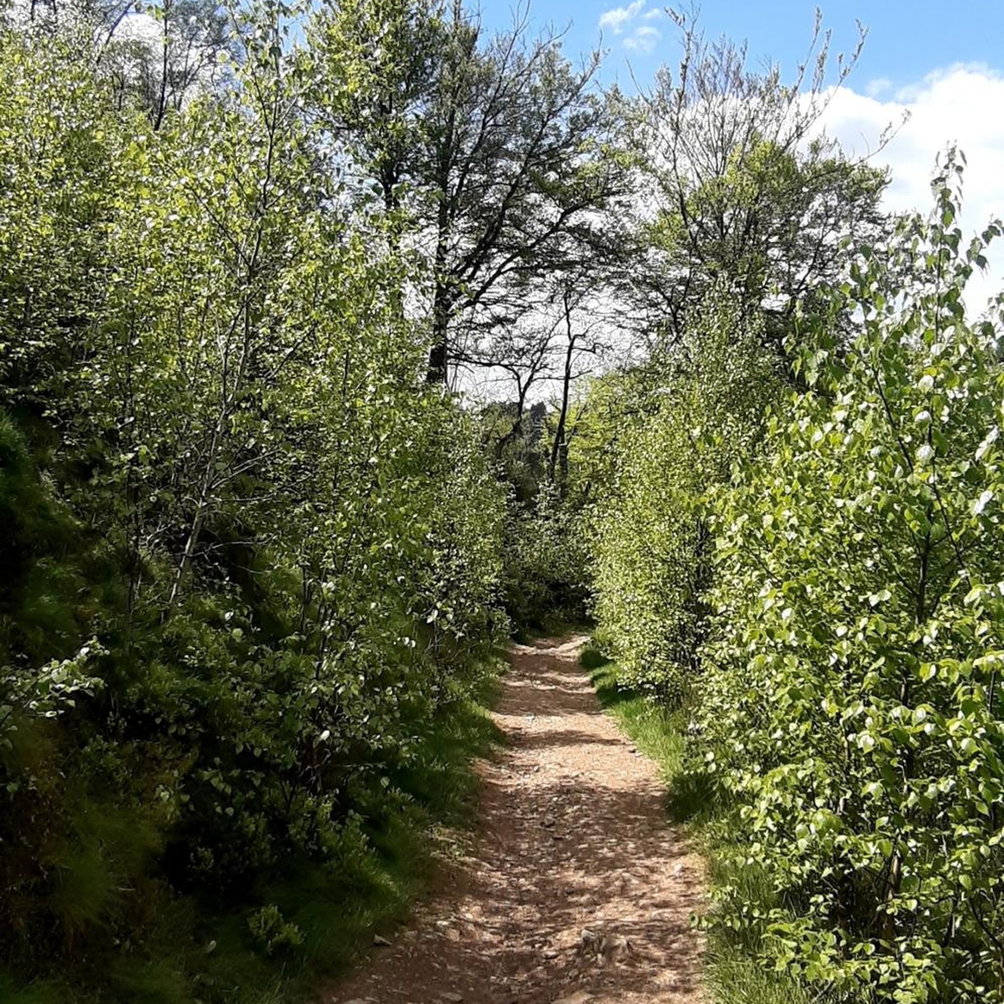
Each of these crosses, which the hiker encounters, clearly visible in the fields or—as here—in the shade of the trees, is a symbol of remembrance of the crucifixion, but also of the resurrection of Jesus Christ. "With us on earth, there is His memory, but in the Kingdom of Heaven is His presence: This presence is the joy of those who have already attained salvation. The memory is our consolation, as we are still wanderers, journeying toward our homeland." (Saint Bernard of Clairvaux, founder of the order and Doctor of the Church)
0
0


The abbey church is Gothic in style and was built in the 13th century. It has been classified as a historic monument since 1881, and is considered to be one of the most beautiful works of religious architecture in the Bocage Normand.
0
0

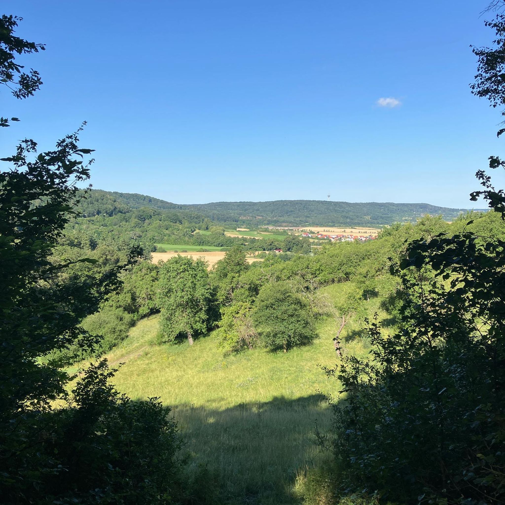
Binoculars are recommended
1
0
Frequently Asked Questions
How many hiking trails are available around Fontenermont?
There are nearly 100 hiking routes around Fontenermont listed on komoot, offering a wide variety of options for all skill levels. These include 39 easy trails, 55 moderate routes, and 3 more challenging hikes.
What kind of terrain can I expect when hiking in Fontenermont?
The Fontenermont area is characterized by the tranquil, rural French countryside known as the Bocage. You'll find rolling green landscapes, a mosaic of woodlands, pastures, and hedgerows. The terrain generally varies between 170 and 265 meters in altitude, providing diverse scenery without extreme elevation changes.
Are there any circular walks available in Fontenermont?
Yes, many of the trails around Fontenermont are circular. For example, the Lac du Gast – Birdwatching observatory loop from Le Gast is a moderate 8.1 km route, and the The roadside cross – Saint-Sever State Forest loop from Saint-Sever-Calvados offers an easy 5.3 km forest walk.
What are some natural features or landmarks I can see on a hike?
You can explore various natural and historical points of interest. Many routes pass by lakes such as Lac du Gast and Lac de la Dathée. The area also features an Ornithological Reserve, ideal for birdwatching. You might also encounter historical sites like the Motte Castrale and Étang du Vieux Château or the notable The roadside cross.
What is the best time of year to go hiking in Fontenermont?
Fontenermont experiences a temperate maritime climate with mild, wet winters and relatively cool summers. This makes it conducive to outdoor pursuits throughout much of the year. Spring and autumn offer pleasant temperatures and beautiful scenery, while summer provides longer daylight hours.
Are there any easy, family-friendly hikes in the area?
Yes, there are many easy trails suitable for families. An excellent option is the The roadside cross – Saint-Sever State Forest loop from Saint-Sever-Calvados, an easy 5.3 km path through peaceful woodlands. Another short and easy route is the Birdwatching observatory – Ornithological Reserve loop from Le Gast, which is 3.7 km long.
What do other hikers say about the trails in Fontenermont?
The routes in Fontenermont are highly rated by the komoot community, with an average score of 4.3 stars from over 135 reviews. Hikers often praise the tranquil atmosphere of the Bocage countryside, the varied scenery of woodlands and pastures, and the well-maintained paths.
Are there longer or more challenging hikes available for experienced hikers?
For those seeking a longer challenge, the Lac du Gast – The forest stage loop from Saint-Sever is a difficult 19.4 km trail that leads through dense woodlands and past Lac du Gast, typically taking over 5 hours to complete. There are 3 difficult routes in total.
Where can I find parking for hiking trails in Fontenermont?
While specific parking details for every trailhead are not listed here, many routes start from villages or popular natural sites where public parking is generally available. For example, trails originating from Saint-Sever-Calvados or Le Gast would likely have accessible parking options within those communities.
Are there any towns or villages nearby to explore after a hike?
Yes, several charming towns are within a short drive. Villedieu-les-Poêles, known for its copper craftsmanship, is just 9 km away. Larger towns like Vire (16 km) and Coutances (36 km) also offer cultural excursions and a chance to experience local Norman life.
What kind of natural landscapes are prominent in the Fontenermont region?
The region is defined by its 'Bocage' landscape, characterized by rolling green hills, a patchwork of small fields enclosed by hedgerows and trees, and extensive woodlands. You'll find a mix of forests, pastures, and river valleys, offering a quintessential Norman countryside experience.
Can I find trails that lead through significant forests?
Absolutely. The The roadside cross – Saint-Sever State Forest loop from Saint-Sever-Calvados takes you directly through the peaceful Forêt de Saint-Sever, which is only about 5 kilometers from Fontenermont. This forest provides an immediate and accessible option for woodland hikes.
Most popular routes around Fontenermont
Most popular attractions around Fontenermont

Get inspired with the komoot mobile app


Explore more
Browse the best Hikes in other regions.
