Top 5 Mountain Passes around Chanat-La-Mouteyre
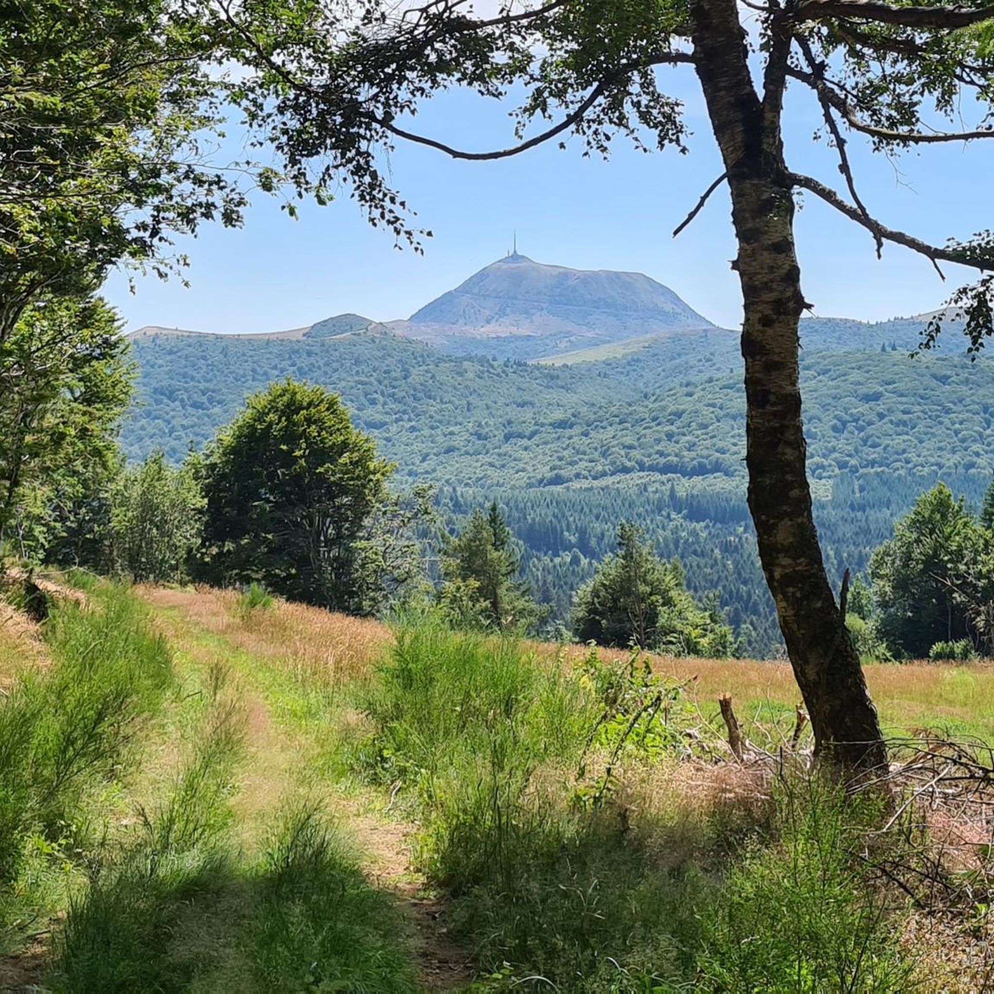
Mountain passes around Chanat-La-Mouteyre are located within the Puy-de-Dôme department, offering access to the volcanic landscapes of the Chaîne des Puys, a UNESCO World Heritage site. This region provides trails and routes near Chanat-La-Mouteyre with significant elevation changes, suitable for various outdoor activities. Visitors can explore the unique terrain and enjoy panoramic views of the surrounding area, including the iconic Puy de Dôme. The area is known for its diverse natural features and challenging routes.
Best mountain passes around Chanat-La-Mouteyre
…Last updated: July 10, 2026
Ceyssat Pass
Highlight • Summit
Translated by Google •
Tip by

Bancillon Pass
Highlight • Mountain Pass
Translated by Google •
Tip by

Sign up now to discover places like this
Get recommendations on the best single tracks, peaks, & plenty of other exciting outdoor places.
Sign up for free
Col de la Moréno (1065 m)
Highlight • Mountain Pass
Translated by Google •
Tip by

Goules Pass
Highlight • Mountain Pass
From …
Translated by Google •
Tip by

View of Clermont-Ferrand and the Cathedral from the Col de Bancillon
Highlight • Viewpoint
Translated by Google •
Tip by

Start today with a free account
Your next adventure awaits.
Login or Signup

Tips from the Community

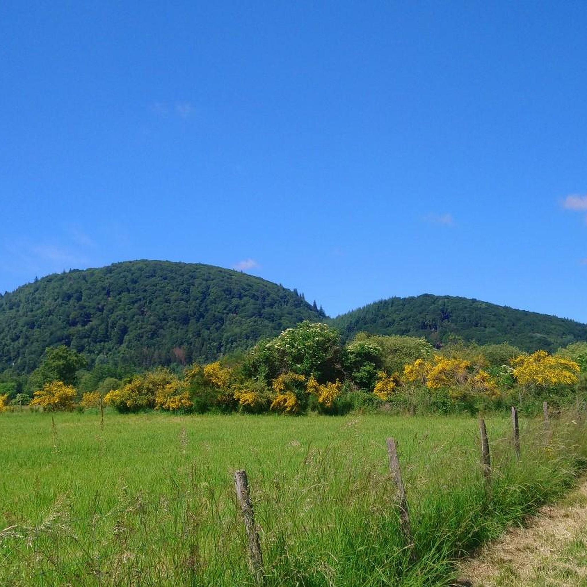
The Col de Bancillon is a symbolic passage of the GTMC. It is climbed at the end of a steep climb with elevation percentages ranging from 12% to 23%. The arrival at the summit is marked by this emblematic GTMC totem (composed of four white poles).
0
0

It's better to go up via Ceyssat and come back down via Orcines. The climb still hurts but there's less traffic and the descent is worth it 😉
0
0

1 hour, 11km tour between town and hill
0
0

Possibility of having a drink and/or something to eat just opposite the pass sign
0
0

Nice col over a busy road. You can drive up this if you cycle a route around the Puy de Dome.
0
0
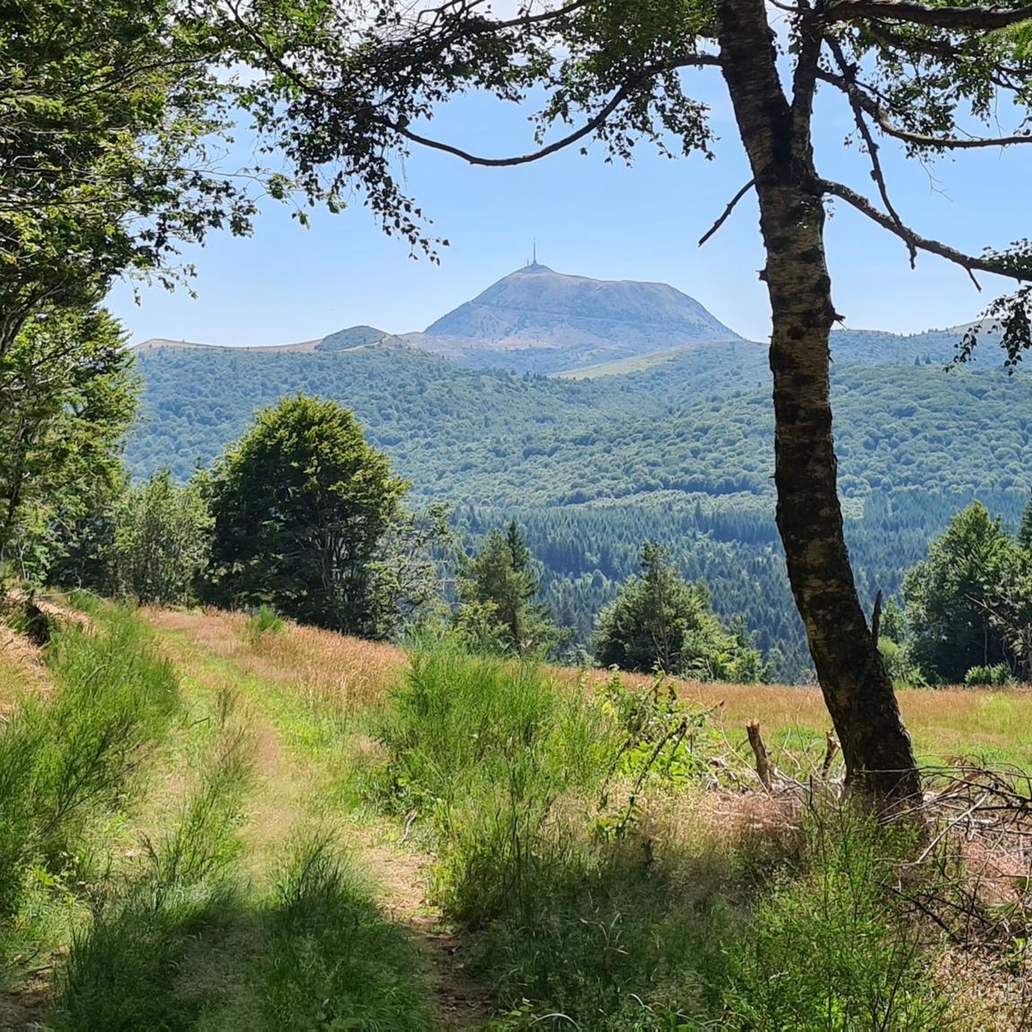
Error or ignorance: there is no panoramic cable car to reach the summit of the Puy de Dôme. There is only a panoramic cogwheel train that leaves from the bottom of the volcano. The journey offers the possibility of seeing superb points of view. Other information: the road bordering the train track is a service road. It is prohibited for cars and bicycles. From time to time, thanks to sporting events, it is exceptionally open to cyclists. This road will be taken in July 2023 by the riders of the Tour de France in the final of one of the stages run in Auvergne.
0
0

The Col de Ceyssat from Royat is 9.6 km long with a total drop of 622 m. The average gradient is 6.48% with maximum gradients of 10%.
2
0

The Col de Bancillon offers lovely views of the center of Clermont and its cathedral.
0
0
Frequently Asked Questions
What kind of natural features can I expect to see around Chanat-La-Mouteyre's mountain passes?
The mountain passes around Chanat-La-Mouteyre are situated within the volcanic landscapes of the Chaîne des Puys, a UNESCO World Heritage site. You'll encounter dormant volcanoes, significant elevation changes, and panoramic views of the surrounding area, including the iconic Puy de Dôme.
Which mountain passes offer the best views?
For breathtaking vistas, consider visiting Ceyssat Pass, which provides access to the summit of Puy de Dôme with unique views of the volcanoes. Another excellent spot is the View of Clermont-Ferrand and the Cathedral from the Col de Bancillon, offering a distinct perspective of the city and its landmark.
Are there challenging climbs for cyclists or hikers near Chanat-La-Mouteyre?
Yes, the region is known for its challenging routes. For example, the climb to Ceyssat Pass from Royat is 9.6 km long with a 622 m elevation gain, averaging 6.48% with maximum gradients of 10%. The Bancillon Pass also features a very steep ascent with percentages ranging from 12% to 23%.
What outdoor activities can I do near these mountain passes?
The area around Chanat-La-Mouteyre is ideal for various outdoor activities. You can find numerous routes for cycling, gravel biking, and road cycling. For example, there are challenging cycling routes like the 'View of the Puy de Dôme – Ceyssat Pass loop from Chanat-la-Mouteyre' and gravel biking routes such as the 'View of the Puy de Dôme – View of Puy de Dôme loop from Les Maisons Rouges'. You can explore more options on the Cycling around Chanat-La-Mouteyre guide.
Are there any mountain passes that are part of famous long-distance routes?
Yes, the Bancillon Pass is a symbolic passage of the Grande Traversée du Massif Central (GTMC), making it a notable point for those undertaking this long-distance route. It's also listed in the 'Club des 100 cols'.
What is the best time of year to visit the mountain passes around Chanat-La-Mouteyre?
While specific seasonal data isn't provided, the region's volcanic landscapes and outdoor activities are generally best enjoyed during spring, summer, and early autumn when the weather is milder and trails are clear of snow. Always check local weather conditions before your visit, especially for higher elevations.
Is there parking available at the mountain passes?
Yes, for some passes, parking is available. For instance, a large car park can be found just after the Fontaine du Berger near Goules Pass. Ceyssat Pass also serves as a starting point for ascents to Puy de Dôme, implying accessibility for vehicles.
Can I reach the summit of Puy de Dôme from a mountain pass?
Absolutely. From Ceyssat Pass, which is at an altitude of 1100 meters, you can climb to the summit of Puy de Dôme (1465 meters above sea level) on foot via a path with many steps. Alternatively, a panoramic cable car is available a little further to the west.
Are there any mountain passes that might have heavy traffic?
Yes, be aware that Col de la Moréno (1065 m) is situated on a road that can experience heavy traffic, including trucks. While it offers nice views, caution is advised if you are cycling or walking along this route.
What makes the mountain passes around Chanat-La-Mouteyre unique?
The uniqueness stems from their location within the Chaîne des Puys, a UNESCO World Heritage site. This chain of dormant volcanoes provides a distinctive geological backdrop for outdoor activities, offering a blend of challenging terrain, panoramic viewpoints, and a rich natural environment that is appreciated by the komoot community.
What kind of elevation changes should I expect on trails near Chanat-La-Mouteyre?
Trails around Chanat-La-Mouteyre feature significant elevation changes, reflecting the mountainous and volcanic terrain. For example, a challenging walk near the commune can involve an elevation gain of around 527 meters (1728.6 feet) over approximately 14.8 km (9.2 miles).
Most popular routes around Chanat-La-Mouteyre
Most popular attractions around Chanat-La-Mouteyre

Get inspired with the komoot mobile app


Explore more
See even more epic mountain passes by checking out these guides around Chanat-La-Mouteyre:
