The best running trails around Montjoi
3.7
(3)
735
runners
70
runs
Jogging around Montjoi offers access to the diverse terrain of the Cap de Creus Natural Park, characterized by rugged coastal landscapes and distinctive geological formations. The region features a mix of steep rocks, cliffs, and secluded coves, providing varied elevation and scenic backdrops for running. Mediterranean vegetation is present throughout the area, adapting to the coastal conditions. Trails often provide panoramic views of the Mediterranean Sea and the unique coastal features of the park.
Best jogging routes around Montjoi
- The…
Last updated: July 8, 2026
51
runners
12.1km
01:26
230m
230m
Moderate run. Good fitness required. Mostly paved surfaces. Suitable for all skill levels.
5
runners
13.1km
01:33
210m
210m
Moderate run. Good fitness required. Mostly paved surfaces. Suitable for all skill levels.

Sign up for free
5
runners
7.03km
00:53
180m
180m
Moderate run. Good fitness required. Mostly paved surfaces. Suitable for all skill levels.
5.0
(1)
6
runners
14.2km
01:44
280m
280m
Moderate run. Good fitness required. Mostly paved surfaces. Suitable for all skill levels.
5
runners
6.27km
00:42
120m
120m
Moderate run. Good fitness required. Mostly paved surfaces. Suitable for all skill levels.
Get access to more routes and recommendations from other explorers.
Sign up for free
Already have an account?
Our route recommendations are based on thousands of hikes, rides, and runs completed by other people on komoot.
Start today with a free account
Your next adventure awaits.
Login or Signup

Tips from the Community

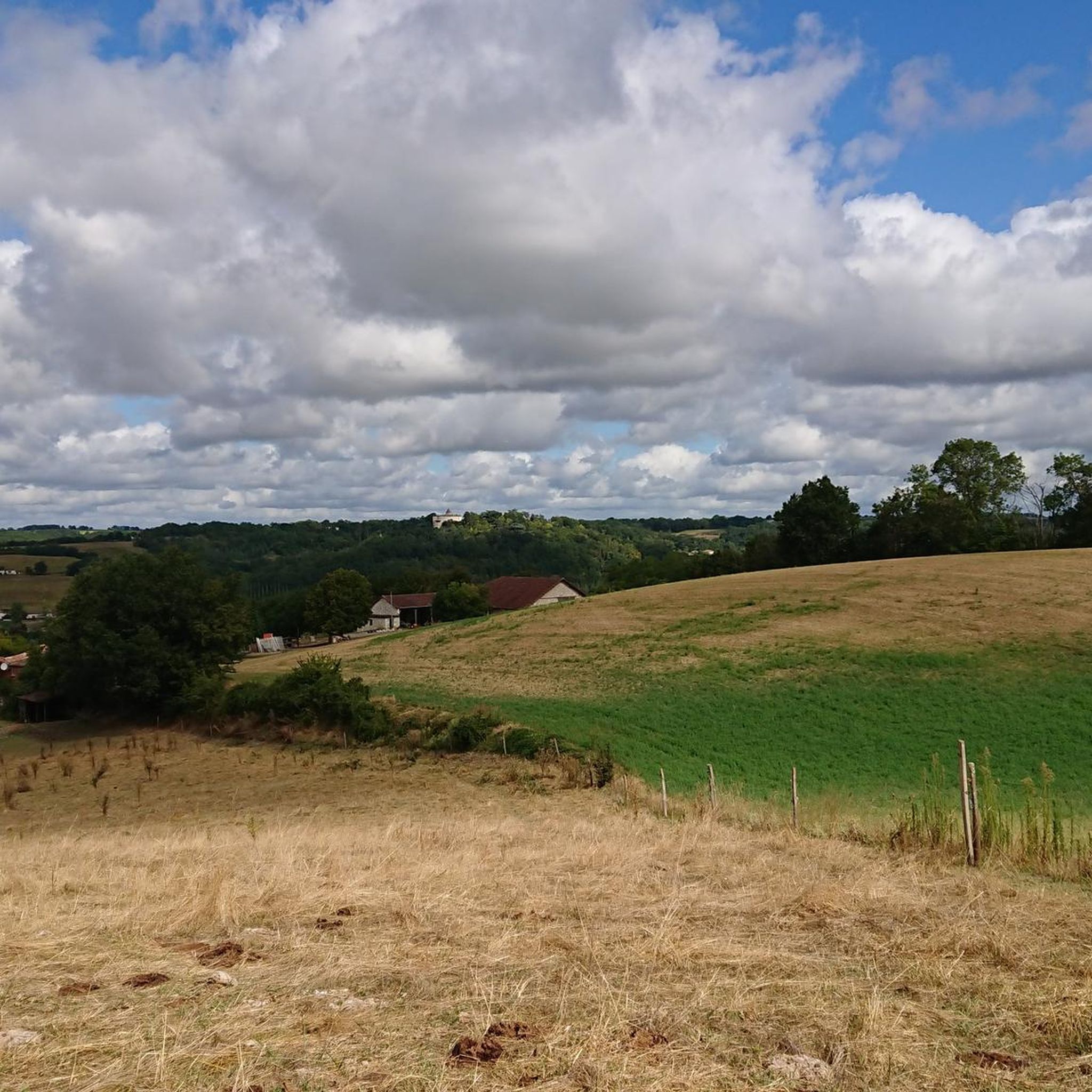
Combebonnet would have originally been the center of a rural exploitation. To defend it, its owner would have built a small fortress. The original castle had the shape of a right triangle whose east and west angles were topped with cantilevered watchtowers. Two of the sides were naturally fortified. At the end of the 13th or beginning of the 14th century, a square tower armed with cross pattée loopholes was added to the north corner. The castle was remodeled and enlarged at the end of the 15th or beginning of the 16th century. It was perhaps at this time that buildings, now demolished, were attached to the east, and a chapel was built as well as the enclosure which defended some houses. In the 17th century, the castle was extended on the north side. The two semi-circular portals decorated with columns, giving access to the courtyard, date from this period. To the west stands a chapel with a flat apse.
0
0

The first mention of this castle dates from around 1350. It dominates a deep valley and is visible from the east and south. It is not known exactly why, but in 1790 local troublemakers threatened to burn the castle, but the villagers came to its aid.
3
0
Frequently Asked Questions
How many running trails are available around Montjoi?
Montjoi offers a wide selection of running routes, with over 70 trails available. These include 3 easy routes, 64 moderate routes, and 11 more challenging options, catering to various fitness levels within the stunning Cap de Creus Natural Park.
What kind of terrain can I expect on jogging routes in Montjoi?
The terrain around Montjoi is diverse, characterized by the rugged coastal landscapes of the Cap de Creus Natural Park. You'll encounter steep rocks, cliffs, and secluded coves, offering varied elevation and breathtaking views. Many paths feature Mediterranean vegetation, and some sections of the Camí de Ronda provide a mix of coastal trails and historic points.
What do other runners say about the trails in Montjoi?
The running routes in Montjoi are highly regarded by the komoot community, with an average rating of 3.75 stars from 4 reviews. Over 760 runners have used komoot to explore the area, often praising the unique natural beauty and varied terrain of the Cap de Creus Natural Park.
Are there any circular running routes in Montjoi?
Yes, there are several circular running routes. For example, the Grotte loop from Gasques is a moderate 7.5-mile (12.0 km) trail that offers varied terrain. The region also features the Punta Falconera – Cala Montjoi Loop, an 8-mile (12.9 km) path with coastal trails and varied elevation, connecting scenic coves and viewpoints.
Can I bring my dog on the running trails in Cap de Creus Natural Park?
The Cap de Creus Natural Park generally welcomes dogs, but it's crucial to keep them on a leash to protect the local wildlife and vegetation, especially in protected areas. Always ensure you clean up after your pet. Specific regulations might apply to certain zones, so it's advisable to check local signage.
Are there family-friendly jogging routes in Montjoi?
While many routes in Montjoi feature rugged coastal terrain, there are easier options suitable for families. The guide lists 3 easy routes, which typically have less elevation gain and are shorter in distance. The Montjoi-Cadaqués Trail, for instance, is described as an easier walk for those who prefer less rocky paths, offering magnificent views.
What are some notable landmarks or attractions I can see along the running routes?
Many running routes in Montjoi offer stunning views and pass by interesting landmarks. You might encounter the Lighthouse of Cabo de Creus, located at the easternmost point of the Iberian Peninsula, or explore sections of the Camí de Ronda that pass through Punta Falconera, an area with historic bunkers. For cultural exploration, the Salvador Dalí House-Museum in Port Lligat (Cadaqués) is accessible via a trail from Montjoi.
Are there any historical sites or castles to see while running?
Yes, some routes incorporate historical points of interest. For example, the Combebonnet Castle loop from Lac de Gandaille is a moderate 8.1-mile (13.1 km) path that offers a mix of natural scenery and historical points. Additionally, you can find highlights like Château de Beauville and viewpoint and Combebonnet Castle in the wider Montjoi area.
What is the best time of year to go jogging in Montjoi?
The Cap de Creus Natural Park, where Montjoi is located, is beautiful year-round. However, spring and autumn generally offer the most pleasant temperatures for jogging, avoiding the intense summer heat and potential winter winds (Tramuntana). These seasons also showcase the Mediterranean flora at its best.
Are there running routes with panoramic views of the Mediterranean Sea?
Absolutely. The region is renowned for its panoramic views. Elevated points within the Cap de Creus Natural Park, especially along coastal trails like sections of the Camí de Ronda, provide expansive vistas of the Mediterranean Sea and the unique coastal formations, including Cap Norfeu on the horizon.
Are there any challenging running routes for experienced athletes?
Yes, for experienced runners seeking a challenge, Montjoi offers 11 difficult routes. These trails typically feature significant elevation changes and rugged terrain, providing a demanding workout amidst the dramatic landscapes of the Cap de Creus Natural Park.
Is there parking available near the trailheads in Montjoi?
Parking availability can vary depending on the specific trailhead. In general, areas within or near the Cap de Creus Natural Park, especially popular starting points for trails, often have designated parking. However, during peak seasons, spaces might be limited. It's advisable to check specific route details or local information for parking options closest to your chosen starting point.
Can I reach jogging routes in Montjoi using public transport?
While Cala Montjoi itself is somewhat secluded, public transport options exist to nearby towns like Roses and Cadaqués. From these towns, you might find local bus services or taxis that can take you closer to specific trailheads within the Cap de Creus Natural Park. Planning your journey in advance is recommended, especially for less accessible routes.
Most popular attractions around Montjoi

Get inspired with the komoot mobile app


Explore more
Browse the best Running Trails & Routes in other regions.
