The best cycling routes around Brives-Sur-Charente
4.2
(295)
1,725
riders
43
rides
Touring cycling routes around Brives-Sur-Charente traverse a varied natural environment, characterized by serene riverbanks and marshes along the Charente river. The area features generally flat terrain, making it suitable for relaxed cycling, with routes often winding through "white paths" and smaller roads. Cyclists can explore the renowned Cognac Vineyard landscape and rolling countryside adorned with sunflower fields. The region's accessibility to extensive cycling networks provides options for various fitness levels.
Best touring cycling routes around Brives-Sur-Charente
- The most popular touring…
Last updated: October 5, 2026
4.8
(12)
84
riders
96.9km
06:53
470m
470m
Hard bike ride. Very good fitness required. Mostly paved surfaces. Suitable for all skill levels.
4.7
(3)
31
riders
22.0km
01:20
80m
80m
Easy bike ride. Great for any fitness level. Mostly paved surfaces. Suitable for all skill levels.

47
riders
42.3km
03:31
360m
360m
Moderate bike ride. Good fitness required. Mostly paved surfaces. Suitable for all skill levels.
4.8
(6)
28
riders
16.1km
01:10
40m
40m
Easy bike ride. Great for any fitness level. Mostly paved surfaces. Suitable for all skill levels.
3.8
(5)
16
riders
Easy bike ride. Great for any fitness level. Mostly paved surfaces. Suitable for all skill levels.
Get access to more routes and recommendations from other explorers.
Already have an account?
Our route recommendations are based on thousands of hikes, rides, and runs completed by other people on komoot.
Start today with a free account
Your next adventure awaits.


Tips from the Community

The site of La Baine, in Chaniers, predates the current mill. 14th century: the first attested mills A document dated 1310 mentions cloth mills at La Baine. They were built on piles driven into the riverbed and were used, among other things, for fulling fabrics. These mills then belonged to the dean and chapter of the cathedral of Saintes. They had been destroyed a few years earlier by the Count of la Marche. In 1313, the chapter obtained authorization to rebuild two mills, a weir, and a fishery. 17th century: Colbert's royal mill It was in the 17th century that La Baine gained considerable importance. A complex of five wheat mills was rebuilt on a secondary branch of the Charente, which was not used for navigation. Around 1630, the mills belonged to the brothers Charles and Jacques Duval, who held the beneficial ownership, while the lordship of Chaniers was under the chapter of the Saint-Pierre de Saintes cathedral. Then came Jean-Baptiste Colbert, minister to Louis XIV and Secretary of State for the Navy. Around 1670, Colbert had the mill redeveloped and enlarged to considerably increase its production capacity. The new complex had seven water passages and thus became one of the most powerful mills in the region. Why was Colbert interested in La Baine? The reason was directly linked to the creation and development of the Rochefort arsenal. The mill primarily produced wheat and barley flour intended for the sustenance of the Royal Navy sailors. The grains arrived via the Charente aboard gabares (flat-bottomed barges). After delivering their cargo to the mill, the gabares departed with the flour destined, among other places, for Rochefort. The mill of La Baine was therefore part of a true royal industrial and logistical system organized around the Charente and Rochefort. 19th century: gradual transformation In the 19th century, milling activity continued. The old mills gradually became a true industrial establishment. In 1845, the site was operated by five different millers. From 1897, the complex was gradually brought together by Mr. Lardy, who modernized the facilities and introduced machinery. His son Rémy Lardy succeeded him. 20th century: the flour mill In the 1930s, the mill had become a true industrial flour mill. Its capacity reached about 50 quintals of wheat per day. In 1936, the hydraulic power was supplied by several wheels about 5 meters in diameter. The total water intake was about 4 meters, with a head of 1.50 meters. The facilities included, among other things: two double grinders; a double converter; a pair of millstones; a plansichter; five purifiers. Milling activity finally ceased in the mid-20th century, with sources placing the end of industrial activity around the years 1940-1960, depending on whether one refers to the flour mill or the complete disappearance of milling activity. Today The building has been preserved and transformed into a restaurant, while retaining remarkable elements of its industrial past, notably the wheel and part of the old machinery. The Moulin de la Baine is now located at 14 rue Colbert, 17610 Chaniers, directly above the Charente. A particularly interesting point The mill, the dam, and the locks form an inseparable historical ensemble. The current dam has, however, undergone modern transformations: a prefectural decree from 2012 classifies the hydraulic structure of the Moulin de La Baine as a Class D dam, among other things.
0
0
The Chaniers ferry (Charente-Maritime) is one of the last traditional river ferries still in operation in France. It allows crossing the Charente River between Chaniers and Courcoury, a few kilometers downstream from Saintes. A crossing used for centuries History of the Chaniers ferry The ferry crossing at Chaniers is very old: it dates back to the Middle Ages. In the mid-17th century, it was already an important crossing point on the Charente. It was not only used to cross the river: it also allowed residents to access the meadows on the other side, particularly for agricultural activities. In the early 20th century, the Chaniers ferry was part of a much larger network of crossings on the Charente. In 1909, thirteen ferries were still recorded in Charente-Inférieure, including the one in Chaniers. Ferries were essential at the time before the proliferation of bridges. Why "chain ferry"? The principle consists of holding the ferry on a chain connecting the two banks. The ferryman uses this chain to move the boat forward and keep it on its course despite the current. In Chaniers, the current ferry is motorized, unlike the ferry in Dompierre-sur-Charente, which is operated manually. The Tourist Office, however, still describes it as a "chain ferry," and the municipality as the traditional crossing method connecting Chaniers to Courcoury. The ferry today The crossing takes place between Le Communal in Chaniers and the Courcoury bank. It is free and can transport pedestrians, cyclists, and motorized vehicles. Its operation depends in particular on the flow of the Charente River. The municipality of Chaniers officially presents "the port of Chaniers and its chain ferry" as an element of its local heritage. Important point: I am correcting my previous message: the Chaniers ferry is not simply a "19th-century ferry." The crossing has been attested since the Middle Ages; it is its mode of operation and its equipment that have evolved over the centuries.
0
0
🏛️ Construction: 18-19 AD The arch was built around 18-19 AD, during the reign of Emperor Tiberius. It stood at the entrance to the Roman bridge crossing the Charente, at the outlet of the Via Agrippa, which connected Lyon to Saintes. It is therefore not truly a "triumphal arch": it was both a road monument and a monumental gate marking the entrance to Mediolanum Santonum, the capital of Roman Aquitaine. 👤 Who had it built? The arch was financed by Caius Julius Rufus, a Romanized notable from Saintonge. He dedicated it to Tiberius as well as his nephew Germanicus. The inscriptions engraved on the entablature still allow us today to know the figures to whom it was dedicated. The name "Arch of Germanicus" therefore comes from this dedication, and not from the fact that Germanicus personally had the arch built or crossed it. 🏗️ A rather exceptional monument The arch has two bays, likely allowing for the differentiation of traffic flows. It measures approximately 15 m high by 16 m wide. Its Corinthian and composite capitals bear witness to particularly meticulous Roman architecture. It constituted a true demonstration of the power and Romanization of Saintes. ⚠️ The moment the arch almost disappeared This is probably the most interesting episode in its history. For centuries, the arch was always located at the level of the Roman bridge and then the medieval bridge, on the right bank of the Charente. In the 19th century, the old bridge had become dilapidated. When it was decided to demolish it, around 1843, the arch was also threatened with destruction. It was then that Prosper Mérimée, Inspector General of Historical Monuments, intervened. He advocated for its preservation and arranged for its dismantling, relocation, and reassembly on the new bank. Another figure is also associated with this preservation: Victor Hugo, who stayed in Saintes in September 1843 and intervened in favor of the monument's conservation with Mérimée. 📍 Why is the arch no longer exactly in its ancient location? The arch we see today, on Place Bassompierre, is therefore no longer in its original location. It was moved a few dozen meters during the transformation of the quays and the disappearance of the old bridge. It was dismantled stone by stone and then reassembled in order to preserve it. It is now located in the immediate vicinity of the ancient Roman bridge crossing. 🏛️ Protection The Arch of Germanicus was finally classified as a historical monument in July 1905. An interesting detail The Crazannes quarries, located near Saintes, supplied a limestone widely used in the region's ancient constructions. Crazannes stone was notably used for monuments such as the Arch of Germanicus. In summary: 18-19 → construction of the arch at the entrance to the Roman bridge ↓ Antiquity → Middle Ages → the arch remains associated with the crossing of the Charente ↓ 1843 → demolition of the old bridge and threat to the arch ↓ 1843-1844 → Mérimée's intervention and relocation of the arch ↓ 1905 → classified as a Historical Monument
0
0


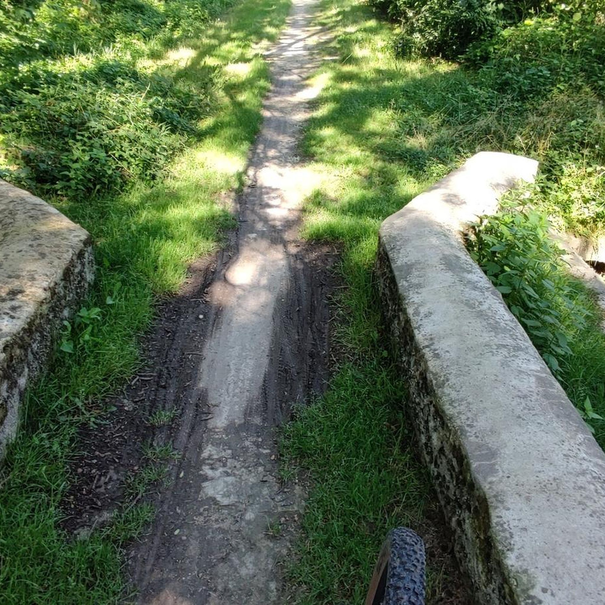
I really enjoyed this ride. I’m 46, I did it on a 40 year old road bike, it’s more suited to a cyclocross bike!
1
0

On the banks of the Charente, the Château de Cognac symbolizes the town's reputation. Today a Cognac House, it welcomes visitors to help them discover its history, but also that of the eaux-de-vie produced there.
0
0

Cognac is a beautiful, wealthy town where the future François 1st was born (hence the house of the same name). This wealth comes mainly from the pineau and cognac trade… It was in the 15th century that this distillation process appeared to better preserve these wines which were sent throughout Europe and in particular to the countries of the Hanseatic League where this "burnt wine", brandevin or brandy is very appreciated, most often cut off from water. In Cognac, the Henessy, Rémy Martin, Courvoisier and Martell houses have numerous buildings. I also passed in a town next to an old building used as a cellar, a very pleasant smell emanated from it.
2
0

Built in the 11th and 12th centuries, this church, listed as a historic monument in 1912, is a spectacular work of art. Well worth the drive past when crossing town!
0
0
Frequently Asked Questions
How many touring cycling routes are available around Brives-sur-Charente?
There are over 40 touring cycling routes around Brives-sur-Charente, offering a variety of options for different preferences and skill levels.
What is the general terrain like for touring cycling in Brives-sur-Charente?
The terrain around Brives-sur-Charente is generally flat, making it ideal for relaxed touring cycling. Routes often follow serene riverbanks and marshes along the Charente river, wind through "white paths" and smaller roads, and traverse the picturesque Cognac Vineyard landscape and rolling countryside adorned with sunflower fields.
What are the difficulty levels of the touring cycling routes in this area?
The routes cater to various abilities: 15 are classified as easy, 21 as moderate, and 4 as difficult. This ensures options for both casual riders and those seeking more challenging excursions.
What interesting sights can I expect to see along the cycling routes near Brives-sur-Charente?
You can discover a rich blend of natural beauty and historical sites. Highlights include the Saint-Martin Church, the Saint-Césaire Church, and the ancient Chêne de François 1er. Many routes also pass through the scenic Port of the Lys and offer views of the Cognac vineyards.
Are there any circular touring cycling routes available?
Yes, many routes are designed as loops. For example, you can enjoy the easy Port of the Lys – Crouin bridge loop from Saint-Laurent-de-Cognac, or the moderate Bike loop from Chérac which explores vineyards and rolling countryside.
Are there family-friendly cycling routes in Brives-sur-Charente?
Yes, the generally flat terrain and dedicated cycling paths, including local VTC circuits, make the area very suitable for families. Easy routes like the Chaniers chain bin – The chain box loop from Dompierre-sur-Charente are great options for a relaxed family outing.
What is the best time of year for touring cycling in Brives-sur-Charente?
The region is particularly beautiful from spring to early autumn. During these months, you can enjoy vibrant sunflower fields and ripening wheat, along with pleasant weather for cycling. The generally mild climate also allows for cycling outside of peak summer.
What do other touring cyclists enjoy most about cycling in Brives-sur-Charente?
The area is highly rated by the komoot community, with an average score of 4.3 stars from over 200 reviews. Reviewers often praise the tranquil riverbanks, the picturesque Cognac vineyards, and the well-maintained, generally flat paths that make for a pleasant cycling experience.
Are there options for longer cycling excursions from Brives-sur-Charente?
Absolutely. Brives-sur-Charente serves as a gateway to significant regional and national cycling routes. You can connect to the Flow Vélo, which winds along the Charente river to the Atlantic, or even parts of La Scandibérique (EuroVelo 3) for long-distance adventures.
Is it possible to cycle through vineyards in the Brives-sur-Charente area?
Yes, many routes, such as the The chain box – Chaniers chain bin loop from Rouffiac, traverse the renowned Cognac Vineyard landscape, offering picturesque views of the viticultural scenery and an immersive experience in the region's famous terroir.
Are there any specific local cycling circuits near Brives-sur-Charente?
Yes, Brives-sur-Charente is integrated into local cycling infrastructure with circuits like VTC Circuit No. 3 ("Les rives de Charente - Brives-sur-Charente") and VTC Circuit No. 4 ("Brives-sur-Charente"). These easy rides, typically 8-8.5 km, highlight traditional homes and local heritage, and can be combined for longer rides.
What kind of roads can I expect to cycle on?
You'll find a mix of surfaces, including "white paths" and smaller, low-traffic country roads that wind through the countryside. The regional and national routes also utilize dedicated greenways, ensuring a pleasant and safe cycling experience.
Most popular routes around Brives-Sur-Charente
Most popular attractions around Brives-Sur-Charente

Get inspired with the komoot mobile app


Explore more
Browse the best Cycling routes in other regions.
