The best walks and hikes around Saint-Sauvant
4.5
(186)
1,009
hikers
119
hikes
Hiking around Saint-Sauvant offers trails through a landscape characterized by gentle rolling terrain and rural pathways. The area features a mix of open fields and wooded sections, with modest elevation changes suitable for various hiking levels. Many routes connect local villages and historical points of interest. The region provides opportunities for accessible walking trails Saint-Sauvant, often with views of the surrounding countryside.
Best hiking trails around Saint-Sauvant
- The most popular hiking route is Saint-Césaire Church – St Sauvant loop from…
Last updated: October 5, 2026
5.0
(3)
19
hikers
8.84km
02:24
130m
130m
Moderate hike. Good fitness required. Easily-accessible paths. Suitable for all skill levels.
5.0
(3)
18
hikers
8.05km
02:11
120m
110m
Moderate hike. Good fitness required. Easily-accessible paths. Suitable for all skill levels.

4.5
(2)
9
hikers
10.7km
02:51
110m
110m
Moderate hike. Good fitness required. Easily-accessible paths. Suitable for all skill levels.
5.0
(2)
8
hikers
10.7km
02:51
110m
110m
Moderate hike. Good fitness required. Easily-accessible paths. Suitable for all skill levels.
3.0
(1)
6
hikers
9.33km
02:30
110m
110m
Moderate hike. Good fitness required. Easily-accessible paths. Suitable for all skill levels.
Get access to more routes and recommendations from other explorers.
Already have an account?
Our route recommendations are based on thousands of hikes, rides, and runs completed by other people on komoot.
Start today with a free account
Your next adventure awaits.
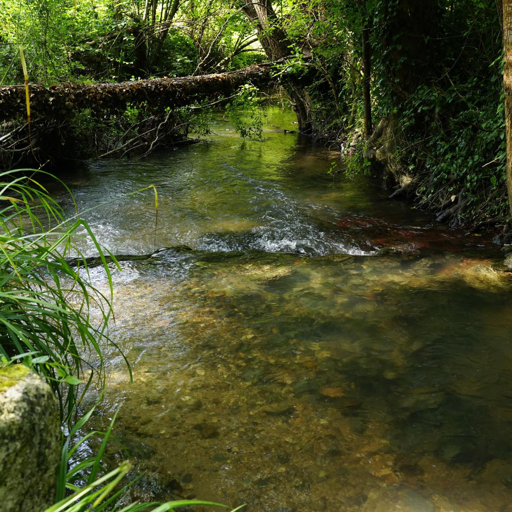
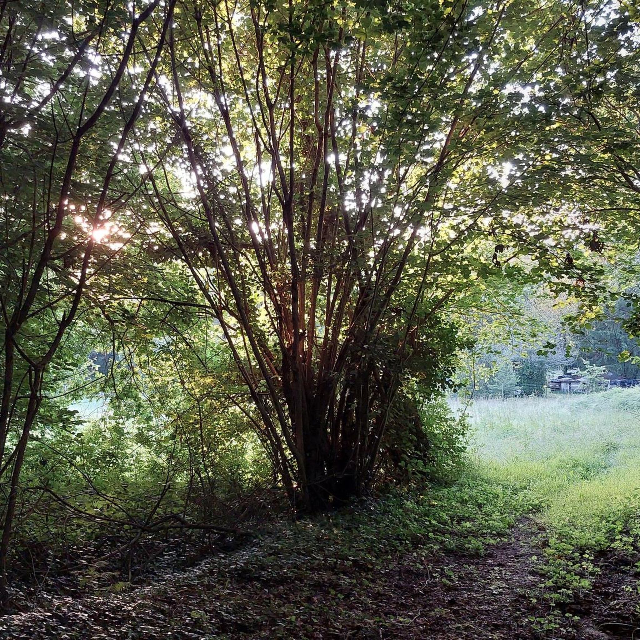

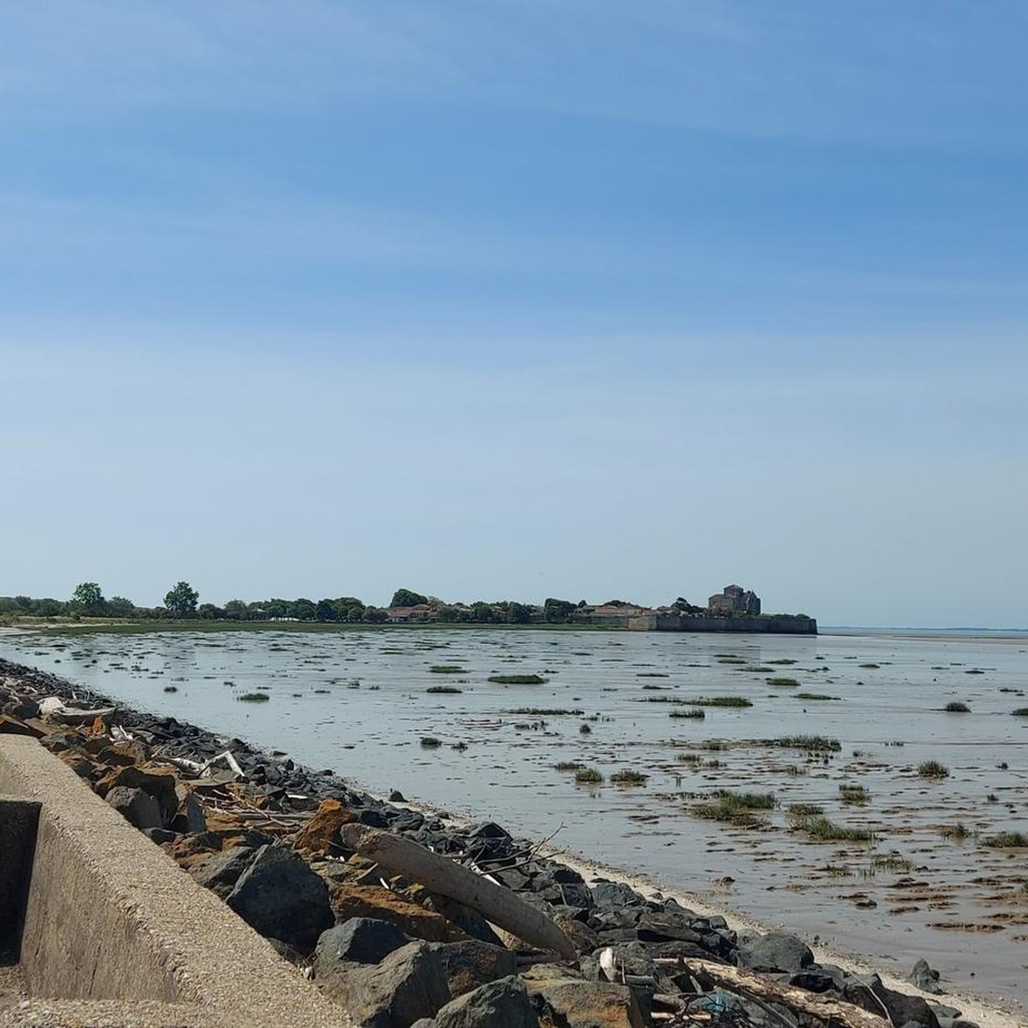

Tips from the Community

Magnificent We can also have a picnic
0
0

This cave is open during the opening hours of the paleosite which offers tours.
0
0

A must-see visit alongside this abbey on a magnificent circuit
0
0
Very pretty wash house and fountain in a small typical village very renowned for its potters from other times
1
0
The typical and aptly named "Chemin de la Fontaine" leads to a magnificent wash house, a jewel in the town centre. Its stone dome shelters the spring which swells the “Ribonneau” and “Fontenelles” streams; these form the “Brameri” which, a few kilometers further south, becomes “the Bourru”. In the 16th century, it would have carried this inscription in Latin: “I nymph of this place, guardian of this fountain, I sleep to the soft murmur of this water. Whoever you are who comes to tread on this resonant stone, respect my sleep. Drink or wash, but in silence”.
1
0

This small town of less than 400 inhabitants is located in a hilly and wooded area. It is part of one of the stages of the GR 360 long-distance footpath. It is worth going past the abbey and the church while crossing the town! Both were built at the beginning of the 12th century.
2
0

A particularity is located in the gallery of arcature which overhangs the portal. Indeed it has three arched windows on one side of the central window and two semicircular on the other. Note that the two bays on the right occupy the same width as the three on the left. The bell tower, like many others in the region, has a pyramidal roof. Simple columns come to partition the two windows which cover each face. Inside the church, archival documents prove that the nave with two bays was originally vaulted with warheads. Unfortunately, this vault was destroyed during religious wars. Still according to archival documents, it would seem that at the beginning of the 20th century, a narthex, where the catechumens were held, leaned on its facade. Today, it has completely disappeared. The church was classified as a historic monument in 1913. The building underwent a complete restoration in 1935. To admire just next to the church a magnificent and majestic period residence.
0
0
The walls of the nave were doubled by means of arcades and it was endowed with a new chevet and a new bell tower. With an elegant silhouette and intact in its southern part, it is openworked with four twin bays on semicircular arches on two floors. The interior has a nave with three bays. A bay separates the nave from the front choir vaulted in blocks of rubble which, very narrow, supports the bell tower. The semi-circular apse is vaulted in cul-de-four. The 19th century side chapel, dedicated to Saint Anthony, is located on the left as you enter. Vaulted in a broken cradle, it has a stucco altar whose base has five broken arch bays. A very beautiful ornate wooden balcony dating from the end of the 19th century is located at the interior entrance of the church. The statue of Notre-Dame de Fontdouce, known as "the Virgin and Child" was sculpted by a monk from the Abbey of Fontdouce around the 15th century. It has been kept in the church of Saint Bris des Bois since the revolution and was once a destination of pilgrimage. On the back wall, a semicircular stained glass window indicates the names of the parish priest, Mr. Hague, and the mayor at the time, Mr. Lévécot (1904). The Priory of St Robert: the chapel destroyed during the wars of religion, the campanile is still in place. Saint Robert once had a great reputation, at the end of the 19th century, children suffering from certain illnesses were still brought there "before sunrise". The church was listed as a Historic Monument in 1973. To visit it you will have to pay your tribute just the price of a slight effort ....... the church is located at the top of the hill overlooking the village and adjoining the cemetery.
0
0
Frequently Asked Questions
How many hiking trails are available around Saint-Sauvant?
There are over 90 hiking routes recorded around Saint-Sauvant on komoot, offering a wide variety of options for exploration. These range from easy strolls to more moderate hikes through the countryside.
Are there easy hiking trails suitable for beginners in Saint-Sauvant?
Yes, Saint-Sauvant offers several easy routes perfect for beginners or those seeking a relaxed walk. For example, the Hiking loop from Saint-Césaire is an easy 3.2-mile (5.2 km) trail that takes about 1 hour 24 minutes to complete, leading through varied rural scenery.
Are there family-friendly hiking options in Saint-Sauvant?
Absolutely. The region's gentle rolling terrain and modest elevation changes make many trails suitable for families. Routes often connect local villages and feature open fields and wooded sections, providing an enjoyable experience for all ages.
What kind of terrain can I expect on hikes around Saint-Sauvant?
Hiking around Saint-Sauvant is characterized by gentle rolling terrain and rural pathways. You'll find a mix of open fields and wooded sections, with modest elevation changes. The trails are generally well-suited for various hiking levels.
Are there any circular hiking routes in the Saint-Sauvant area?
Yes, many routes in Saint-Sauvant are circular, allowing you to start and end in the same location. An example is the St Sauvant loop from Saint-Sauvant, a moderate 4.9-mile (7.9 km) path that explores the immediate surroundings of the village.
What are some interesting landmarks or attractions I can see while hiking?
The trails often connect local villages and historical points of interest. Notable attractions in the wider area include the historic Abbaye de Fontdouce and the beautiful Saint-Césaire Church, which some routes pass by or near.
What do other hikers enjoy the most about hiking in Saint-Sauvant?
The area is highly rated by the komoot community, with an average score of 4.4 stars from over 120 reviews. Reviewers often praise the quiet rural paths, the gentle scenery, and the well-maintained trails that connect charming local communities.
Are there any longer or more challenging hikes available?
While most trails are easy to moderate, some routes offer a bit more distance. For instance, the Ancient Cave – Saint-Césaire Church loop from Saint-Césaire is a moderate 6.9-mile (11.2 km) hike, providing a longer exploration of the area's landscape.
Can I access hiking trails in Saint-Sauvant using public transport?
While specific public transport links directly to every trailhead might be limited in this rural area, many routes start from or pass through villages like Saint-Sauvant and Saint-Césaire. It's advisable to check local bus schedules for connections to these villages.
Is parking available at the trailheads in Saint-Sauvant?
Routes often begin in or near local villages such as Saint-Sauvant or Saint-Césaire. While specific parking facilities are not detailed for every trailhead, public parking is generally available within these communities, making it convenient to start your hike.
What is the typical duration and distance of hikes in Saint-Sauvant?
Hikes in Saint-Sauvant vary, but many popular routes are between 3 to 5 miles (5 to 8 km) and take approximately 1.5 to 2.5 hours to complete. For example, the St Sauvant – Saint-Césaire Church loop from Saint-Sauvant is an easy 4.5-mile (7.3 km) trail that takes about 1 hour 53 minutes.
Most popular routes around Saint-Sauvant
Most popular attractions around Saint-Sauvant

Get inspired with the komoot mobile app


Explore more
Browse the best Hikes in other regions.
